Turnagain Pass Avalanche Forecast
|
![]() ![]() |
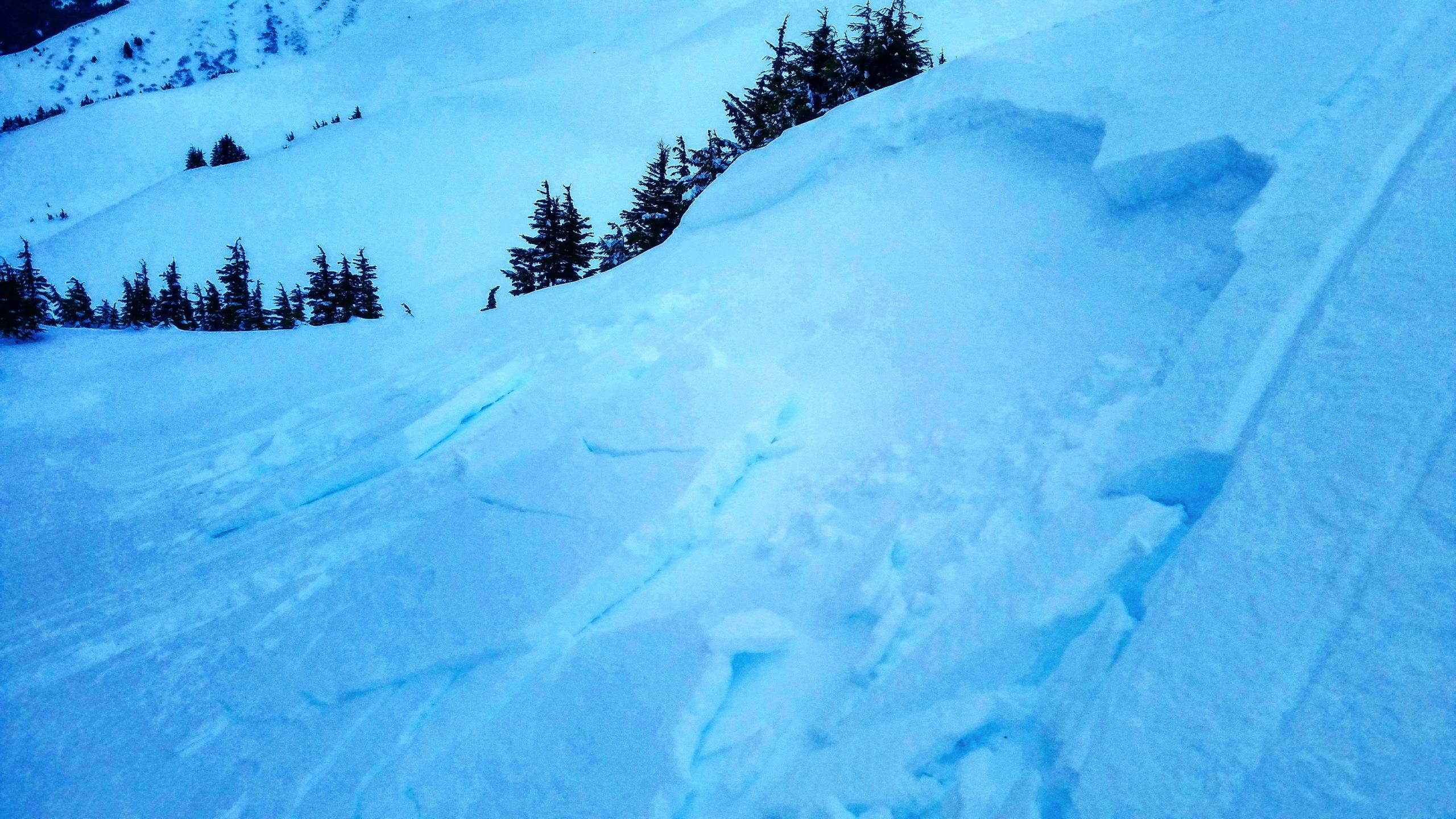
The avalanche danger is LOW across all elevations in the Turnagain Pass area today. Low danger does not mean no danger– it is unlikely a person will trigger an avalanche, but not impossible. Be on the lookout for lingering wind slabs in isolated locations, sluffs on steep slopes, and give cornices plenty of space. Be sure to pay attention to clear indicators of instability, and only expose one person at a time to steep terrain.
PLACER VALLEY/SKOOKUM: We have little information on the snowpack in this area. Use extra caution, watch for red flags, and ease into big terrain. If you do get out in this area, we would love to see your observations!
SOUTH OF TURNAGAIN PASS TO SUMMIT LAKE: The snowpack in this area is generally thinner and weaker. It may still be possible to trigger a deep slab avalanche near the ground, especially in steep, rocky terrain above 2500’.
It has now been over a week since our last reported avalanches (more details here and here), and over two weeks since we have seen an avalanche big enough to bury a person. For the past week, we have gotten a steady trickle of low density snow with light winds, which is a great way to maintain quality riding conditions and improve stability. But, this doesn’t mean we can turn off our avalanche brains! For now, avalanches are unlikely, not impossible. Keep a few things in mind when you are out today:
If you are moving into steeper terrain today, be sure to only expose one person at a time to steep slopes, watch your partners from safe spots well out of the way of avalanche paths and runout zones, and be mindful of other groups traveling above and below you.
Although unlikely, it is not impossible to find isolated wind slabs like this one (which happened over a week ago) near ridge tops and in cross-loaded gullies. Eddies. Photo: Kakiko Ramos-Leon. 12.12.2020.
We know there is weak snow at the base of the snowpack throughout the advisory area, but it is quite variable and has shown signs of gaining strength. With no activity in this layer in over two weeks, very few signs indicating instability, and no significant loading in over a week, it is becoming very unlikely to trigger an avalanche deep in the snowpack. This layer is more concerning in areas with thinner snowpack such as Crow Pass, and as you head south from Turnagain Pass (Lynx Creek, Silvertip) towards Summit Lake. This type of avalanche is tricky. Deeply buried weak layers can often lay dormant for weeks or longer without showing any signs of activity before somebody finds just the wrong spot to trigger one. If you want to avoid problem entirely, you can stay off steep, rocky, slopes over 35 degrees.
Yesterday: The mountains received 2″ new snow at the weather stations, with higher totals at upper elevations. Light winds around 5-10 mph at the ridgetops shifted from easterly to westerly yesterday afternoon. Temperatures dropped through the day, with morning temperatures starting the day in the mid- 20’s F and dropping to the mid teens F at lower elevations and dropping from the high teens to low teens F at upper elevations.
Today: We are expecting another quiet day weather-wise, with no snow accumulation under mostly sunny skies and westerly winds blowing 5-10 mph at the ridgetops. Temperatures should remain cool, with highs in the mid teens F at upper elevations, and low 20’s at lower elevations, and lows tonight around 10 F at upper elevations and low teens at lower elevations.
Tomorrow: Easterly winds are expected to pick up to 20 mph at the ridgetops in the afternoon, along with an increasing chance for precipitation as the next storm moves in. High temperatures should be in the low 20’s F at upper elevations and mid-20’s at low elevations. The National Weather Service has issued a High Wind Watch and a Winter Storm Watch for Monday evening through Tuesday evening. Stay tuned as the next storm develops, it looks like things could get spicy!
PRECIPITATION 24-hour data (6am – 6am)
Temp Avg (F) | Snow (in) | Water (in) | Snow Depth (in) | |
---|---|---|---|---|
Center Ridge (1880′) | 19 | 1 | 0.2 | 60 |
Summit Lake (1400′) | 18 | 2 | 0.2 | 27 |
Alyeska Mid (1700′) | 17 | 2 | 0.2 | 62 |
RIDGETOP 24-hour data (6am – 6am)
Temp Avg (F) | Wind Dir | Wind Avg (mph) | Wind Gust (mph) | |
---|---|---|---|---|
Sunburst (3812′) | 14 | N | 9 | 25 |
Seattle Ridge (2400′) | 17 | N | 12 | 3 |
Date | Region | Location | Observer |
---|---|---|---|
05/22/23 | Turnagain | Avalanche: Tincan | Nick D'Alessio |
05/12/23 | Turnagain | Avalanche: Tincan, Sunburst, Magnum, Cornbiscuit | Heather Thamm |
05/07/23 | Turnagain | Observation: Tincan – Bear Tracks | CNFAIC Staff |
05/05/23 | Turnagain | Observation: Seattle Ridge | AS/ WW Forecaster |
05/02/23 | Turnagain | Observation: Cornbiscuit | Schauer/ Sturgess Forecaster |
05/02/23 | Turnagain | Observation: Seward Hwy Turnagain Pass | Joel Curtis |
04/30/23 | Turnagain | Observation: Magnum | Ayla, Kit Crosby, Barton |
04/29/23 | Turnagain | Observation: Tincan | John Sykes |
04/28/23 | Turnagain | Avalanche: Taylor Pass/Pastoral | Schauer/ Creighton Forecaster |
04/28/23 | Turnagain | Avalanche: Tincan | Andy Moderow |
Status of riding areas across the Chugach NF is managed by the Glacier and Seward Ranger Districts, not avalanche center staff. Riding area information is posted as a public service to our users and updated based on snow depth and snow density to prevent resource damage at trailhead locations. Riding area questions contact: mailroom_r10_chugach@fs.fed.us
Area | Status | Weather & Riding Conditions |
---|---|---|
Glacier District |
Subscribe to Turnagain Pass
Avalanche Forecast by Email
This is a general backcountry avalanche advisory issued for Turnagain Arm with Turnagain Pass as the core advisory area. This advisory does not apply to highways, railroads or operating ski areas.