Turnagain Pass Avalanche Forecast RSS

Archives
ARCHIVED FORECAST - All forecasts expire after 24 hours from the posting date/time.
Issued
Thu, December 23rd, 2021 - 7:00AM
Expires
Fri, December 24th, 2021 - 7:00AM
Forecaster
John Sykes
Avalanche risk The Bottom Line

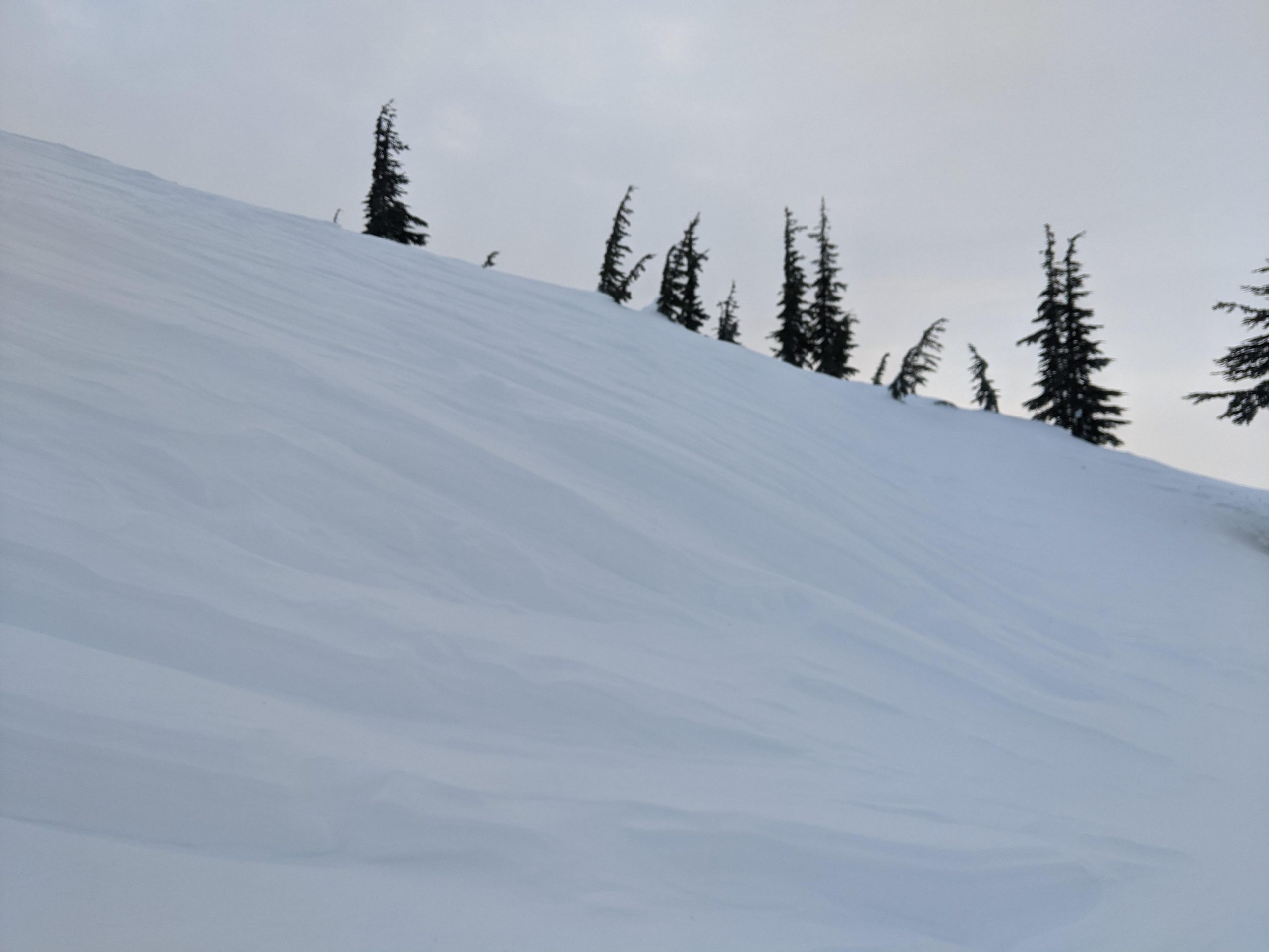
The avalanche danger is CONSIDERABLE in areas exposed to strong northwest winds, primarily above 2500′. Human triggered avalanches 1+’ deep are likely in wind loaded areas and natural avalanches are possible. There is potential for avalanches in wind affected areas below treeline in openings in the forest, so keep an eye out for wind loading even at lower elevations. Identify wind loaded features before entering avalanche terrain and watch for shooting cracks and other signs of instability. The avalanche danger is MODERATE above 1000′ in areas that are not seeing active wind loading. There is still a potential for very large avalanches 2-5+’ deep on an old layer of weak sugary snow.

The avalanche danger is LOW below 1000′. Thin snow cover over vegetation and avalanches releasing in areas with active wind loading at higher elevations and running into lower elevations are the primary hazards.

Thanks to our sponsors!
Thu, December 23rd, 2021
Alpine
Above 2,500'
Considerable (3)
Avalanche risk
Treeline
1,000'-2,500'
Moderate (2)
Avalanche risk
Below Treeline
Below 1,000'
Low (1)
Avalanche risk
Alpine
Above 2,500'
Avalanche risk
Considerable (3)
Treeline
1,000'-2,500'
Avalanche risk
Moderate (2)
Below Treeline
Below 1,000'
Avalanche risk
Low (1)
Danger Scale:
No Rating (0)
Low (1)
Moderate (2)
Considerable (3)
High (4)
Extreme (5)
Avalanche Problem 1
  • Wind Slabs
    Wind Slabs
  • Almost Certain
    Very Likely
    Likely
    Possible
    Unlikely
    Likelihood
  • Historic (D4-5)
    Very Large (D3)
    Large (D2)
    Small (D1)
    Size
Wind Slabs
Wind Slab avalanches are the release of a cohesive layer of snow (a slab) formed by the wind. Wind typically transports snow from the upwind sides of terrain features and deposits snow on the downwind side. Wind slabs are often smooth and rounded and sometimes sound hollow, and can range from soft to hard. Wind slabs that form over a persistent weak layer (surface hoar, depth hoar, or near-surface facets) may be termed Persistent Slabs or may develop into Persistent Slabs.

Likelihood of Avalanches
Terms such as "unlikely", "likely", and "certain" are used to define the scale, with the chance of triggering or observing avalanches increasing as we move up the scale. For our purposes, "Unlikely" means that few avalanches could be triggered in avalanche terrain and natural avalanches are not expected. "Certain" means that humans will be able to trigger avalanches on many slopes, and natural avalanches are expected.

Size of Avalanches
Avalanche size is defined by the largest potential avalanche, or expected range of sizes related to the problem in question. Assigned size is a qualitative estimate based on the destructive classification system and requires specialists to estimate the harm avalanches may cause to hypothetical objects located in the avalanche track (AAA 2016, CAA 2014). Under this schema, "Small" avalanches are not large enough to bury humans and are relatively harmless unless they carry people over cliffs or through trees or rocks. Moving up the scale, avalanches become "Large" enough to bury, injure, or kill people. "Very Large" avalanches may bury or destroy vehicles or houses, and "Historic" avalanches are massive events capable of altering the landscape.

Signal Word Size (D scale) Simple Descriptor
Small 1 Unlikely to bury a person
Large 2 Can bury a person
Very Large 3 Can destroy a house
Historic 4 & 5 Can destroy part or all of a village
More info at Avalanche.org

Those pesky northwest winds are back today and forecast to impact our advisory area for the next 24-36 hours with wind speeds in the 15-35 mph range and gusts to 50+. During the last wind event on winter solstice (Dec 21) we saw avalanche activity on the southern end of the forecast zone in Lynx Creek and Silvertip drainages, as well as in Girdwood and Summit Lake. Some of those avalanches propagated more widely than expected for a normal wind slab, which indicates that some kind of weak layer in the upper snowpack is being overloaded in certain areas with heavy wind loading (e.g. Lynx Creek).  The winds today are forecast to remain at high speeds much longer than the solstice event, which could create widespread wind slabs up to 1+’ deep in open terrain across the region.

To identify areas with fresh wind slabs look for active snow transport, shooting cracks, hollow feeling snow, and pillowy features on the leeward side of ridges. Wind slabs forming today will be touchy and are likely to be triggered by a person or could release naturally. On Tincan yesterday the snow surface was wind affected anywhere above 1500′ that did not have dense tree cover. If the winds reach down into treeline again today we could see wind slabs release at lower elevations than typical. Be aware of wind loaded features in clearings above forested terrain that could carry you into trees and increase the consequences of being caught.

Strong winds forecast throughout the region for the next 24-36 hours. Photo from Windy.com 12.23.21

Signs of significant wind effect in the treeline elevation band on Tincan. Photo 12.22.21

A layer of decomposing new snow underneath a thin wind slab on Tincan yesterday. This is one potential weak layer that could help wind slabs propagate more widely than typical. Photo 12.22.21


Avalanche Problem 2
  • Deep Persistent Slabs
    Deep Persistent Slabs
  • Almost Certain
    Very Likely
    Likely
    Possible
    Unlikely
    Likelihood
  • Historic (D4-5)
    Very Large (D3)
    Large (D2)
    Small (D1)
    Size
Deep Persistent Slabs
Deep Persistent Slab avalanches are the release of a thick cohesive layer of hard snow (a slab), when the bond breaks between the slab and an underlying persistent weak layer deep in the snowpack. The most common persistent weak layers involved in deep, persistent slabs are depth hoar or facets surrounding a deeply buried crust. Deep Persistent Slabs are typically hard to trigger, are very destructive and dangerous due to the large mass of snow involved, and can persist for months once developed. They are often triggered from areas where the snow is shallow and weak, and are particularly difficult to forecast for and manage.

Likelihood of Avalanches
Terms such as "unlikely", "likely", and "certain" are used to define the scale, with the chance of triggering or observing avalanches increasing as we move up the scale. For our purposes, "Unlikely" means that few avalanches could be triggered in avalanche terrain and natural avalanches are not expected. "Certain" means that humans will be able to trigger avalanches on many slopes, and natural avalanches are expected.

Size of Avalanches
Avalanche size is defined by the largest potential avalanche, or expected range of sizes related to the problem in question. Assigned size is a qualitative estimate based on the destructive classification system and requires specialists to estimate the harm avalanches may cause to hypothetical objects located in the avalanche track (AAA 2016, CAA 2014). Under this schema, "Small" avalanches are not large enough to bury humans and are relatively harmless unless they carry people over cliffs or through trees or rocks. Moving up the scale, avalanches become "Large" enough to bury, injure, or kill people. "Very Large" avalanches may bury or destroy vehicles or houses, and "Historic" avalanches are massive events capable of altering the landscape.

Signal Word Size (D scale) Simple Descriptor
Small 1 Unlikely to bury a person
Large 2 Can bury a person
Very Large 3 Can destroy a house
Historic 4 & 5 Can destroy part or all of a village
More info at Avalanche.org

The faceted layer that has been the mainstay of the forecast the past few weeks is still lingering in the snowpack and has the potential to create very large avalanches 2-5+’ deep if triggered. With a period of very active wind loading upon us we could see smaller avalanches stepping down into this faceted layer to create a much larger and more destructive avalanche. The good news is that we observed this layer becoming harder and stronger in our snowpits yesterday (Tincan ob here), but it takes a long time for these changes to take place. The bad news is that it is still showing the potential to propagate in some stability tests (Notch ob here) and the layer is likely to gain strength even more slowly in areas with a thinner snowpack. Hopefully we are coming towards the end of needing to worry about this weak layer, but the high consequences if it does release are worth keeping it as a consideration in your decision-making for a bit longer.

Snowpack structure from Notch Peak in Girdwood showing an area where the facted weak layer remains weak and still has propagation potential. Photo Andy Moderow 12.22.21

Rounding faceted grains seen on Tincan at 1700′ yesterday. The layer was showing signs of strengthening but still has the potential to create a large avalanche. Photo 12.22.21

Weather
Thu, December 23rd, 2021

Yesterday: Skies were overcast with light winds out of the west in the morning and becoming more northwest in the evening. Temperatures stayed in the high teens to twenties. No new snow recorded.

Today: Strong northwest winds are forecast to return today ranging from 15-35 mph with gusts of 50+. A trace of new snow is also possible with mostly cloudy skies this morning becoming partly cloudy during the day. Temperatures should remain in the teens to high twenties.

Tomorrow: The winds should continue to blow out of the northwest overnight tonight and into tomorrow morning before dying down tomorrow afternoon. Temperatures will drop down into the low teens overnight. Cloud cover will decrease this afternoon through middle of the day Friday. Friday evening clouds will start to increase and we could see trace amounts of snowfall again.

PRECIPITATION 24-hour data (6am – 6am)

Temp Avg (F) Snow (in) Water (in) Snow Depth (in)
Center Ridge (1880′) 22 0 0 69
Summit Lake (1400′) 17 0 0 25
Alyeska Mid (1700′) 18 0 0.02 43

RIDGETOP 24-hour data (6am – 6am)

Temp Avg (F) Wind Dir Wind Avg (mph) Wind Gust (mph)
Sunburst (3812′) 16 W to NW 6 35
Seattle Ridge (2400′) 19 W to NW 5 24
Observations
Recent Observations for Turnagain Pass
Date Region Location
05/22/23 Turnagain Avalanche: Tincan
05/12/23 Turnagain Avalanche: Tincan, Sunburst, Magnum, Cornbiscuit
05/07/23 Turnagain Observation: Tincan – Bear Tracks
05/05/23 Turnagain Observation: Seattle Ridge
05/02/23 Turnagain Observation: Cornbiscuit
05/02/23 Turnagain Observation: Seward Hwy Turnagain Pass
04/30/23 Turnagain Observation: Magnum
04/29/23 Turnagain Observation: Tincan
04/28/23 Turnagain Avalanche: Taylor Pass/Pastoral
04/28/23 Turnagain Avalanche: Tincan
Riding Areas
Updated Thu, June 01st, 2023

Status of riding areas across the Chugach NF is managed by the Glacier and Seward Ranger Districts, not avalanche center staff. Riding area information is posted as a public service to our users and updated based on snow depth and snow density to prevent resource damage at trailhead locations. Riding area questions contact: mailroom_r10_chugach@fs.fed.us

Area Status Weather & Riding Conditions
Glacier District
Johnson Pass
Closed
Closed May 15.
Placer River
Closed
Closed May 15.
Skookum Drainage
Closed
Will close to motorized use on April 1, 2023 per the National Forest Plan.
Turnagain Pass
Closed
Will close on June 1.
Twentymile
Closed
Scheduled closure May 1.
Seward District
Carter Lake
Closed
Scheduled closure May 1.
Lost Lake Trail
Closed
Scheduled closure May 1.
Primrose Trail
Closed
Scheduled closure May 1.
Resurrection Pass Trail
Closed
Closed to motorized use for the 2022/23 winter season per Forest Plan. Open next season.
Snug Harbor
Closed
Extended opening until May 15.
South Fork Snow River Corridor
Closed
Scheduled closure May 1.
Summit Lake
Closed
Scheduled closure May 1.

Subscribe to Turnagain Pass
Avalanche Forecast by Email

This is a general backcountry avalanche advisory issued for Turnagain Arm with Turnagain Pass as the core advisory area. This advisory does not apply to highways, railroads or operating ski areas.