Turnagain Pass Avalanche Forecast
|
![]() ![]() |
The avalanche danger remains CONSIDERABLE above 2500′, where it is still likely a person could trigger an avalanche 1-2′ deep on slopes that have been getting loaded by strong northwest winds since yesterday morning. Winds are expected to continue loading slopes through most of the day into the afternoon before they start to calm down. Expect to find the most dangerous conditions in gullies, and below convexities and ridgelines. A small avalanche near the surface may trigger a very large avalanche on weak snow buried 2-5′ deep in the snowpack. The danger is MODERATE between 1000′ and 2500′, where slightly weaker winds mean wind slabs will be smaller and a little less likely, but still possible. Keep in mind this is also the most likely elevation band to trigger a large avalanche on the deeper weak layers, and adjust your terrain use accordingly. The danger is LOW below 1000′, where it is unlikely a person will trigger an avalanche.
Signal Word | Size (D scale) | Simple Descriptor |
Small | 1 | Unlikely to bury a person |
Large | 2 | Can bury a person |
Very Large | 3 | Can destroy a house |
Historic | 4 & 5 | Can destroy part or all of a village |
Strong northwest outflow winds are still at work this morning building fresh wind slabs 1-2′ deep that will be easily triggered today. Winds have been blowing 20-35 mph since yesterday morning, with gusts as high as 76 mph near Girdwood, 56 mph near Turnagain Pass, and 68 mph near Summit Lakes. As of this morning weather stations are still showing sustained westerly winds at 15-20 mph, which are expected to continue for most of the day before calming this afternoon. Recently wind loaded slopes will remain touchy through the day.
There are a few nuances to consider with these strong northwest winds:
Today it will be important to identify and avoid recently wind loaded slopes. The most likely places to find these will be in gullies, below convexities, and below ridgelines. With the winds blowing as hard as they have been, keep in mind wind slabs are likely forming further below ridgelines than you might normally expect. Keep an eye out for the telltale signs of instability- shooting cracks, collapsing, and new avalanche activity. It is also important to remember that a relatively small wind slab avalanche could trigger a big avalanche on weak snow lurking below the surface. More on this in problem 2 below.
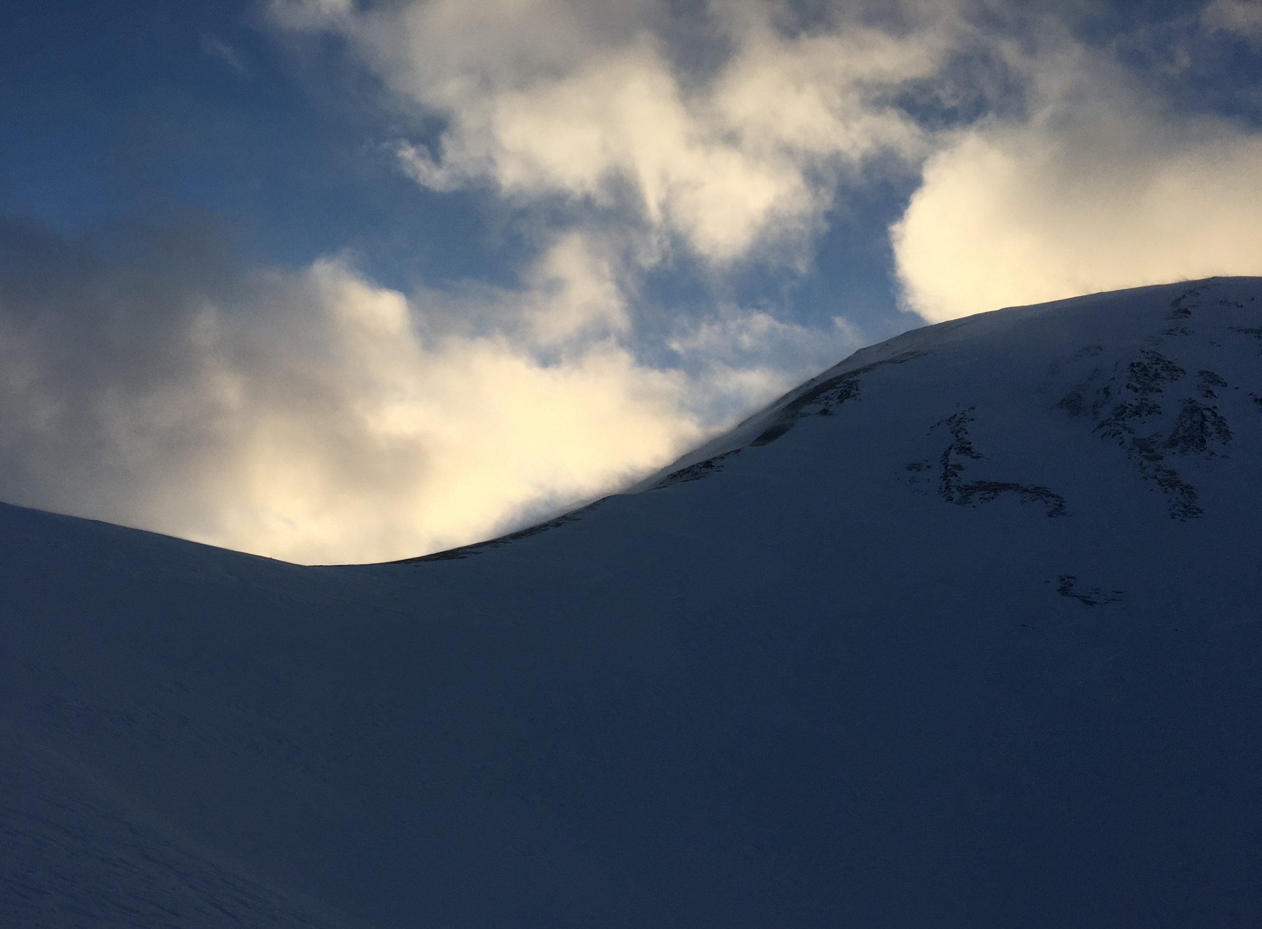
Snow blowing off the ridge at Taylor Pass yesterday, loading the east side of the pass. 12.23.2021
Signal Word | Size (D scale) | Simple Descriptor |
Small | 1 | Unlikely to bury a person |
Large | 2 | Can bury a person |
Very Large | 3 | Can destroy a house |
Historic | 4 & 5 | Can destroy part or all of a village |
We are slowly starting to gain some confidence in the weak snow buried 2-5′ deep in most areas in the forecast zone, but we aren’t in the clear just yet. This round of strong winds is putting a heavy load on some slopes, which adds stress to those weak layers and nudges the needle just a little higher up the likelihood meter for today. As mentioned previously, a relatively small wind slab triggered near the surface has the potential to step down to these deeper persistent weak layers.
The most likely places to run into trouble with a deep persistent weak layer are areas with a thinner snowpack. You can think about this on a regional scale, with thinner conditions on the south end of Turnagain Pass towards Lynx Creek, Silvertip, and Summit Lakes. You can also consider slope-scale differences, with likely trigger points at thin spots on a slope, maybe with some rocks sticking out. These avalanches are becoming more difficult to trigger, but I wouldn’t feel comfortable stepping out into bigger terrain just yet, especially on the heels of a big wind loading event.
Click here to view yesterday’s snowpack summary from Taylor Pass if the video doesn’t load in your browser.
Yesterday: We were hit with a round of strong northwest winds, with sustained speeds of 15-35 mph and gusts to 76 mph near Girdwood and 56 mph near Turnagain Pass. High temperatures reached the low 20’s to low 30’s F under partly cloudy skies with no recorded precipitation.
Today: Winds continue to blow 15-20 mph out of the northwest and are expected to continue until this afternoon. High temperatures are expected in the upper teens to low 20’s F. Skies are expected to be mostly clear, with increasing cloud cover late this afternoon. No precipitation is expected today.
Tomorrow: We might see a trace of snow overnight, with low temperatures in the mid teens F. Highs tomorrow will be in the upper teens to low 20’s F, with light westerly winds and mostly cloudy skies. No precipitation is expected during the day tomorrow.
PRECIPITATION 24-hour data (6am – 6am)
Temp Avg (F) | Snow (in) | Water (in) | Snow Depth (in) | |
---|---|---|---|---|
Center Ridge (1880′) | 27 | 0 | 0 | 69 |
Summit Lake (1400′) | 23 | 0 | 0 | 25* |
Alyeska Mid (1700′) | 26 | 0 | 0 | 42 |
*Estimate. No data from the snow depth sensor at the Summit Lake station.
RIDGETOP 24-hour data (6am – 6am)
Temp Avg (F) | Wind Dir | Wind Avg (mph) | Wind Gust (mph) | |
---|---|---|---|---|
Sunburst (3812′) | 17 | NW | 17 | 56 |
Seattle Ridge (2400′) | 23 | NNW | 19 | 46 |
Date | Region | Location | Observer |
---|---|---|---|
05/22/23 | Turnagain | Avalanche: Tincan | Nick D'Alessio |
05/12/23 | Turnagain | Avalanche: Tincan, Sunburst, Magnum, Cornbiscuit | Heather Thamm |
05/07/23 | Turnagain | Observation: Tincan – Bear Tracks | CNFAIC Staff |
05/05/23 | Turnagain | Observation: Seattle Ridge | AS/ WW Forecaster |
05/02/23 | Turnagain | Observation: Cornbiscuit | Schauer/ Sturgess Forecaster |
05/02/23 | Turnagain | Observation: Seward Hwy Turnagain Pass | Joel Curtis |
04/30/23 | Turnagain | Observation: Magnum | Ayla, Kit Crosby, Barton |
04/29/23 | Turnagain | Observation: Tincan | John Sykes |
04/28/23 | Turnagain | Avalanche: Taylor Pass/Pastoral | Schauer/ Creighton Forecaster |
04/28/23 | Turnagain | Avalanche: Tincan | Andy Moderow |
Status of riding areas across the Chugach NF is managed by the Glacier and Seward Ranger Districts, not avalanche center staff. Riding area information is posted as a public service to our users and updated based on snow depth and snow density to prevent resource damage at trailhead locations. Riding area questions contact: mailroom_r10_chugach@fs.fed.us
Area | Status | Weather & Riding Conditions |
---|---|---|
Glacier District |
Subscribe to Turnagain Pass
Avalanche Forecast by Email
This is a general backcountry avalanche advisory issued for Turnagain Arm with Turnagain Pass as the core advisory area. This advisory does not apply to highways, railroads or operating ski areas.