Turnagain Pass RSS

Archives
ARCHIVED - Forecasts expire after 24 hours.
Issued
Fri, January 10th, 2020 - 7:00AM
Expires
Sat, January 11th, 2020 - 7:00AM
Forecaster
Wendy Wagner
Avalanche risk The Bottom Line

The avalanche danger remains MODERATE in the Treeline and Alpine elevation bands. Trigging a large slab avalanche up to 3′ thick that fails on old weak snow hidden below the surface remains possible. Additionally, triggering a shallow wind slab, up to a foot thick, remains possible in the Alpine. As always, watch your sluff, give cornices a wide berth and limit time under glide cracks.

*The Placer Valley and Skookum area open to motorized use today. We have very limited snowpack information for this region and extra caution is advised for folks headed into avalanche terrain this direction.

Special Announcements

Tomorrow!  The Hatcher Pass Avalanche Center and the Hatcher Pass Snow Riders Club are hosting a free avalanche workshop Saturday, Jan 11th at 11 am at the Gold Mint parking lot. Check out our events page for more information!

Alaskans! Help us reach $20,000 in 2020 for Chugach Avy’s 20th anniversary next winter. Pick.Click.Give. some or all of your PFD to Friends of the Chugach National Forest Avalanche Info Center. Your donation pre-pays your annual membership AND guarantees good snow karma for winter 2020/21. Thanks, Friends!  Pick.Click.Give. link: for Friends of the CNFAIC.

Fri, January 10th, 2020
Alpine
Above 2,500'
2 - Moderate
Avalanche risk
Treeline
1,000'-2,500'
2 - Moderate
Avalanche risk
Below Treeline
Below 1,000'
1 - Low
Avalanche risk
0 - No Rating
1 - Low
2 - Moderate
3 - Considerable
4 - High
5 - Extreme
Avalanche risk Avalanche risk Avalanche risk Avalanche risk Avalanche risk
Travel Advice Generally safe avalanche conditions. Watch for unstable snow on isolated terrain features. Heightened avalanche conditions on specific terrain features. Evaluate snow and terrain carefully; identify features of concern. Dangerous avalanche conditions. Careful snowpack evaluation, cautious route-finding, and conservative decision-making essential. Very dangerous avalanche conditions. Travel in avalanche terrain not recommended. Extraordinarily dangerous avalanche conditions. Avoid all avalanche terrain.
Likelihood of Avalanches Natural and human-triggered avalanches unlikely. Natural avalanches unlikely; human-triggered avalanches possible. Natural avalanches possible; human-triggered avalanches likely. Natural avalanches likely; human-triggered avalanches very likely. Natural and human-triggered avalanches certain.
Avalanche Size and Distribution Small avalanches in isolated areas or extreme terrain. Small avalanches in specific areas; or large avalanches in isolated areas. Small avalanches in many areas; or large avalanches in specific areas; or very large avalanches in isolated areas. Large avalanches in many areas; or very large avalanches in specific areas. Very large avalanches in many areas.
Avalanche Problem 1
  • Persistent Slabs
    Persistent Slabs
  • Certain
    Very Likely
    Likely
    Possible
    Unlikely
    Likelihood
  • Historic (D4-5)
    Very Large (D3)
    Large (D2)
    Small (D1)
    Size
Persistent Slabs
Persistent Slab avalanches are the release of a cohesive layer of snow (a slab) in the middle to upper snowpack, when the bond to an underlying persistent weak layer breaks. Persistent layers include: surface hoar, depth hoar, near-surface facets, or faceted snow. Persistent weak layers can continue to produce avalanches for days, weeks or even months, making them especially dangerous and tricky. As additional snow and wind events build a thicker slab on top of the persistent weak layer, this avalanche problem may develop into a Deep Persistent Slab.

Likelihood of Avalanches
Terms such as "unlikely", "likely", and "certain" are used to define the scale, with the chance of triggering or observing avalanches increasing as we move up the scale. For our purposes, "Unlikely" means that few avalanches could be triggered in avalanche terrain and natural avalanches are not expected. "Certain" means that humans will be able to trigger avalanches on many slopes, and natural avalanches are expected.

Size of Avalanches
Avalanche size is defined by the largest potential avalanche, or expected range of sizes related to the problem in question. Assigned size is a qualitative estimate based on the destructive classification system and requires specialists to estimate the harm avalanches may cause to hypothetical objects located in the avalanche track (AAA 2016, CAA 2014). Under this schema, "Small" avalanches are not large enough to bury humans and are relatively harmless unless they carry people over cliffs or through trees or rocks. Moving up the scale, avalanches become "Large" enough to bury, injure, or kill people. "Very Large" avalanches may bury or destroy vehicles or houses, and "Historic" avalanches are massive events capable of altering the landscape.

Signal Word Size (D scale) Simple Descriptor
Small 1 Unlikely to bury a person
Large 2 Can bury a person
Very Large 3 Can destroy a house
Historic 4 & 5 Can destroy part or all of a village
More info at Avalanche.org

Today marks the 8th day of sunny skies and frigid temperatures. In fact, the Granite weather station near Johnson Pass Trail Head is reading -24°F this morning, the coldest reading in our forecast zone. These cold temperatures have been turning the top foot of snow into recycled powder or faceted snow. The clear skies have paved the way for a new batch of surface hoar to grow. For folks headed out in the backcountry, this soft surface snow is providing some great skiing and riding conditions- but there is a dark side… Sitting 1-3 feet below the surface are old weak layers of buried surface hoar and facets. Although these layers are becoming harder to trigger with time, we can’t forget about them. The consequences of finding just the wrong spot and triggering a slab avalanche can be significant. Of note is a slab avalanche in upper Seattle Creek drainage that was seen yesterday, believed to have been triggered by a snowmachine. It is unclear how old this slab is (2-4 days old), but it did fail on buried surface hoar and emphasizes our concerns that slabs like this are still possible to trigger.

Things to remember with the avalanche problem are, signs of instability may not be present before a slab is triggered It might be the third or tenth person on the slope that triggers the slide and the avalanche could be triggered remotely. Shallow areas and rocks in the snowpack are likely trigger points. Consider the consequences if a slab does release, where will the debris end up? Is there a terrain trap under the slope (bad) or will the the debris fan out (better)? And as always, use safe travel techniques, such as exposing only one person at a time.

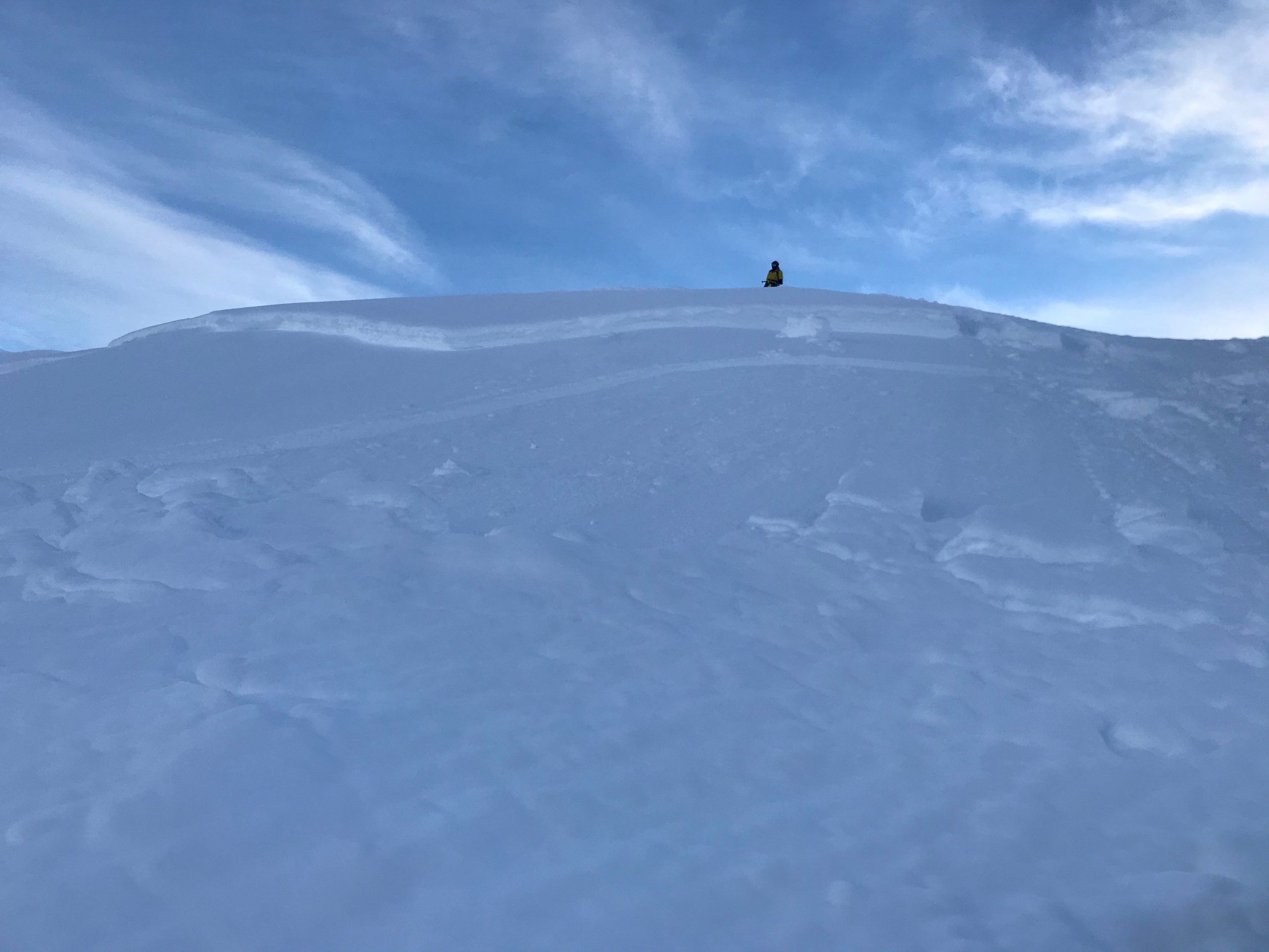
Slab avalanche that was seen yesterday and believed to have been triggered between January 6th and 8th in upper Seattle Creek drainage near Minus 3 Bowl. Weak layer was buried surface hoar and slab was around 2 feet thick. More details HERE. Photo: J Davis

Avalanche Problem 2
  • Wind Slabs
    Wind Slabs
  • Certain
    Very Likely
    Likely
    Possible
    Unlikely
    Likelihood
  • Historic (D4-5)
    Very Large (D3)
    Large (D2)
    Small (D1)
    Size
Wind Slabs
Wind Slab avalanches are the release of a cohesive layer of snow (a slab) formed by the wind. Wind typically transports snow from the upwind sides of terrain features and deposits snow on the downwind side. Wind slabs are often smooth and rounded and sometimes sound hollow, and can range from soft to hard. Wind slabs that form over a persistent weak layer (surface hoar, depth hoar, or near-surface facets) may be termed Persistent Slabs or may develop into Persistent Slabs.

Likelihood of Avalanches
Terms such as "unlikely", "likely", and "certain" are used to define the scale, with the chance of triggering or observing avalanches increasing as we move up the scale. For our purposes, "Unlikely" means that few avalanches could be triggered in avalanche terrain and natural avalanches are not expected. "Certain" means that humans will be able to trigger avalanches on many slopes, and natural avalanches are expected.

Size of Avalanches
Avalanche size is defined by the largest potential avalanche, or expected range of sizes related to the problem in question. Assigned size is a qualitative estimate based on the destructive classification system and requires specialists to estimate the harm avalanches may cause to hypothetical objects located in the avalanche track (AAA 2016, CAA 2014). Under this schema, "Small" avalanches are not large enough to bury humans and are relatively harmless unless they carry people over cliffs or through trees or rocks. Moving up the scale, avalanches become "Large" enough to bury, injure, or kill people. "Very Large" avalanches may bury or destroy vehicles or houses, and "Historic" avalanches are massive events capable of altering the landscape.

Signal Word Size (D scale) Simple Descriptor
Small 1 Unlikely to bury a person
Large 2 Can bury a person
Very Large 3 Can destroy a house
Historic 4 & 5 Can destroy part or all of a village
More info at Avalanche.org

Westerly ridgetop winds have increased overnight and are blowing in the 10-15mph range this morning with gusts into the 20’s. Similar to two days ago, shallow wind slabs could be forming in the lee of ridges and places the winds are transporting snow and loading slopes. Keep an eye out for active wind loading today and look for older wind slabs that could have formed a couple days ago. Any wind slab found should be suspect of triggering as they are likely sitting on the weak faceted snow.


By looking close, you can see where tracks walk into the bottom of a wind slab. The slab failed but moved only an inch or so then stopped and did not avalanche. Other slabs did avalanche for this party on the far southern end of Seattle Ridge two days ago – report HERE. 1.8.20. Photo: Matti Silta

Loose snow sluffs:  As mentioned above, the cold temperatures are turning the top foot of snow into very loose faceted snow. This is allowing sluffs to become larger on longer sustained slopes where sluff management is prudent.

Additional Concern
  • Glide Avalanches
    Glide Avalanches
Glide Avalanches
Glide Avalanches are the release of the entire snow cover as a result of gliding over the ground. Glide avalanches can be composed of wet, moist, or almost entirely dry snow. They typically occur in very specific paths, where the slope is steep enough and the ground surface is relatively smooth. They are often proceeded by full depth cracks (glide cracks), though the time between the appearance of a crack and an avalanche can vary between seconds and months. Glide avalanches are unlikely to be triggered by a person, are nearly impossible to forecast, and thus pose a hazard that is extremely difficult to manage.
More info at Avalanche.org

Glide cracks are still showing their brown signs, which is keeping them on our radar. However, none of them have released into avalanches that we of for quite some time. Because these are so unpredictable it’s always good practice to limit any time spent under them. Check out the photo below from the upper Bertha Creek zone (Gold Pan).


Glide cracks litter the south facing zone of upper Bertha Creek (Gold Pan). 1.8.20. Photo: Billy Finley


Cornices:  
Cornices are looming along ridges. Be sure to give them plenty of space and limit your exposure when passing beneath them.

Weather
Fri, January 10th, 2020

Yesterday:  Sunny skies were over the region with some patchy valley fog. Temperatures were in positive single digits in most locations. Ridgetop winds were light and westerly.

Today:  Clear skies, very cold temperatures and breezy westerly winds will be over the region. This morning temperatures had dropped around 10 degrees at all elevations and valley bottoms sit in the -20 to -10 range while ridgetops are in the -5 to 0F range. Westerly winds have picked up this morning as well and are blowing in the 10-15mph range where they are expected to remain today.

Tomorrow:  One more day of sunny skies with cold temperatures will be over us tomorrow. A chance for clouds, a few snow flurries and slightly warming temperatures is in store for Sunday. Right now, it looks as though high pressure will persist into next week as well.

PRECIPITATION 24-hour data (6am – 6am)

Temp Avg (F) Snow (in) Water (in) Snow Depth (in)
Center Ridge (1880′) 2 0 0 39
Summit Lake (1400′) -8 0 0 14
Alyeska Mid (1700′) 5 0 0 33

RIDGETOP 24-hour data (6am – 6am)

Temp Avg (F) Wind Dir Wind Avg (mph) Wind Gust (mph)
Sunburst (3812′) 6 W 8 22
Seattle Ridge (2400′) 4 N 4 11
Observations
Recent Observations for Turnagain Pass
Date Region Location
03/27/24 Turnagain Observation: Tincan Trees
03/26/24 Turnagain Observation: Cornbiscuit
03/25/24 Turnagain Observation: Tincan
03/22/24 Turnagain Avalanche: Magnum Northwest Aspect
03/21/24 Turnagain Observation: Sunburst
03/21/24 Turnagain Observation: Tincan Proper North Aspect
03/20/24 Turnagain Avalanche: Seattle Creek Drainage
03/19/24 Turnagain Observation: Tincan CFR
03/18/24 Turnagain Avalanche: Tincan – Eddies – Seattle Ridge
03/18/24 Turnagain Observation: Tincan
Riding Areas

The riding areas page has moved. Please click here & update your bookmarks.


Subscribe to Turnagain Pass
Avalanche Forecast by Email

This is a general backcountry avalanche advisory issued for Turnagain Arm with Turnagain Pass as the core advisory area. This advisory does not apply to highways, railroads or operating ski areas.