Following a two-week stretch of sunny skies and spring-like conditions we await a weather pattern shift. Several storms are on tap tomorrow and into the weekend. Winds will be the first thing to change today. Expect light Easterly winds to build to Moderate (10-25mph) by the late afternoon and 1-2” of new snow possible. Shallow wind slabs may form on leeward features, but we don’t expect the avalanche danger to rise until tomorrow with more snow. However, pay attention to changing conditions and if more snow falls anticipate thicker wind slabs.
The storm tomorrow could produce up to a foot of snow and more is on the way Saturday into Sunday. In anticipation of this weather shift, we have been closely mapping surface conditions. Surface hoar has been observed from valley bottoms to the Alpine and is resting on a variety of a sun crusts on Southerly facing slopes. On shaded aspects surface hoar and 4-8” or so of soft near surface facets sit over a firmer base. Along ridgelines and areas affected by the NW wind a few weeks ago, there is hard sastrugi, wind crusts and/or rime crust. This set-up does not bode well for future bonding and will be our next concerning layers once buried.
Things to keep in mind if you are headed into the backcountry today:
- Wind slabs – Look for drifting snow on leeward features this afternoon and pay attention to slab thickness. Older loose snow is available for transport, in addition to a few inches of new snow today. Adjust your plans if you see shooting cracks and slabs thicker than 6” — evidence the avalanche danger is increasing.
- Glide avalanches – These types of avalanches are highly unpredictable and not associated with human triggers. It’s always best to watch for and limit exposure under glide cracks.
- Dry-loose sluffs – Watch your sluff on steep Northerly slopes where a sun crust doesn’t exist.
- Cornice fall – As always, give cornices a wide berth.
- An outlier slab avalanche – Although it is unlikely a person could trigger a slab avalanche, the mountains can harbor surprises, especially in thin snowpack areas. South of Turnagain in the Summit Lake and Silvertip zones there is a shallow snowpack with a generally poor structure. A variety of old weak layers (facets and buried surface hoar) sit in the mid and base of the snowpack. The most suspect place to trigger an avalanche is steep terrain with old, hard wind slabs sitting on weak snow. Increased winds may add more stress to these old layers in Summit Lake area and Johnson Pass.

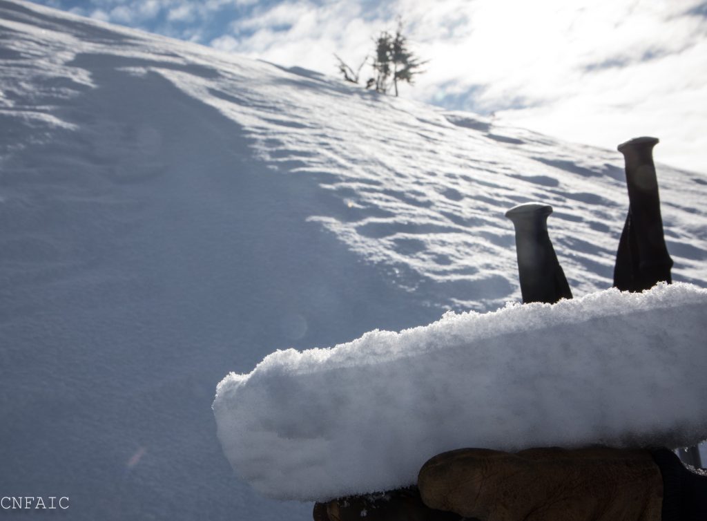

Surface hoar sits on a variety of surfaces: loose snow, firm sun crusts, and hard wind board. Our current surface conditions will become our next layer of concern with more snow tomorrow through the weekend.
