Glide crack on south facing aspect of Butch.
Observation: Summit
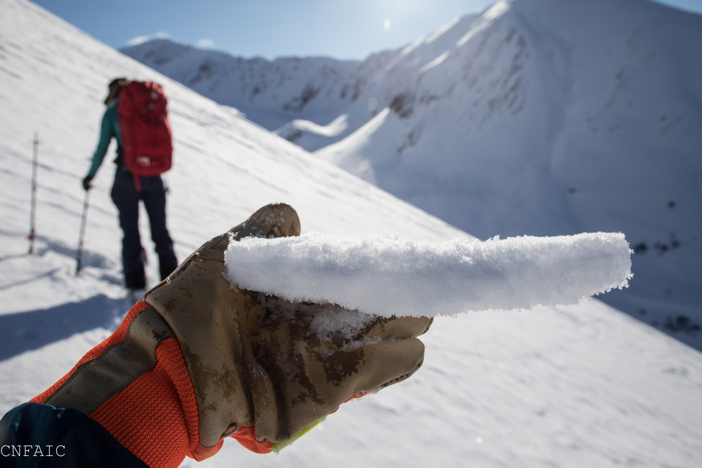
Location: Tenderfoot
Standard Tenderfoot up track to a high point of 2700′. Observing the surface conditions throughout the different elevation bands and aspects.
Observer Comments
Weather
Temp - Mid Teens, increasing throughout the day
Clear sky with a few clouds moving in during the afternoon
No Precip
Calm Winds
Snow surface
Road ~ 1cm of new snow on recent buried surface hoar (BSH) on top of near surface facets. Entire layering totaling about 6" of soft snow
2050'~ Large 5-8mm BSH directly below 1cm of recent snow, obvious size BSH increase
2600' ~ 5mm new snow on 2-4mm BSH on top of a 1.5mm suncrust all on top of 1mm NSFs. HS: 115cm
At upper elevations, two surface conditions of concern. The wind effected areas have a thicker and supportable wind slab with NSF/BSH on top, which could become a bed surface with the increased load. While less scoured pockets have a small non-supportable sun crust on top of weak NSF. Which could become a layer of concern with increased load.
*In Turnagain Pass there was a light dusting of new snow at road level.
Snowpack
We dug four pits, two on a south aspect and two on a north aspect - all within the same elevation band, with varying wind and sun effect. We found very little results within our stability tests, but are more concerned about the current surface conditions with an increased load on top of an overall poor structured snowpack.
Pit 1: WSW - 2600' - HS:81 - 32* slope
Surface structure: 5mm new PP on 2mm BSH on 2cm sun crust on 1mm facets
Pit was mostly composed of facets of varying densities. 4finger depth hoar was found at base of pit under decomposing(faceting melt freeze crusts.)
Tests: CT16, CT26, ECTN17 failed 30-35cm below surface on 1mm fist hard facets just below a 2-3mm faceting crust. Its possible this was the MLK layer, but I did not find buried surface with it.
Pit 2: WSW - 2620' - HS:115 - 30* slope
Surface structure: 5mm new PP on 2-4mm BSH on top of a 1.5mm suncrust all on top of 1mm NSFs.
Pit was primarily varying densities of facets. 1-4F facets, all on top of 4F- depth hoar at the ground. An obvious BSH line/layer 35cm down within the pit.
Tests: CT26, ECTX. Failed 35cm down within a facet/BSH layer. 2-3mm faceting crust and 3-5mm BSH. Could be the MLK Jr BSH Layer.
Pit 3: NNW - 2625' - HS:102cm - 36*slope
Surface structure: 5mm PP on 2-3mm BSH on 15cm of fist-hard facets on 50cm of pencil-hard wind packed snow. Bottom 25 cm were a mix of decomposing crusts and depth hoar (Pencil to 4F at the ground.)
Tests: CTNx2
Pit 3: NNW - 2700' - HS: 135cm - 34* degree slope
Surface Structure: 5mm PP on 2-3mm BSH on 10cm of Pencil hard broken PP/wind crust on top of 50cm of F hard facets sitting on 50cm on P+ wind packed snow on top of a 4F+ mix of decomposing crust and depth hoar to the ground.
Tests: 10cm wind slab broke upon isolation (CTV)
CTNx2, no results on any other layer
Trace of new snow at trailhead

Surfaces at 1400' - recent new snow on BSH on NSFs - 6" of soft

Surface Hoar with new trace snow - 2000'
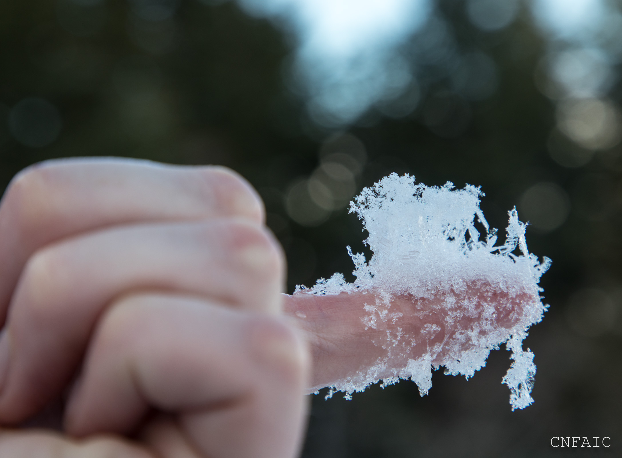
Surface Hoar with new trace snow - 2000'

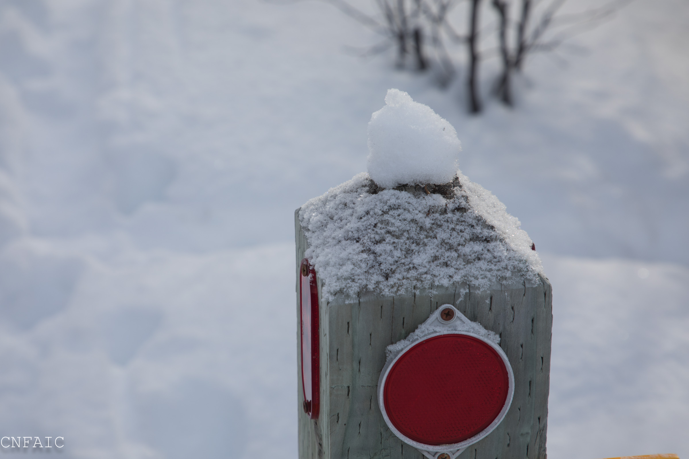
Precip Particles and BSH layer obvious on wind packed snow - WNW Aspect
Precip Particles and BSH layer obvious on sun crust - WSW Aspect

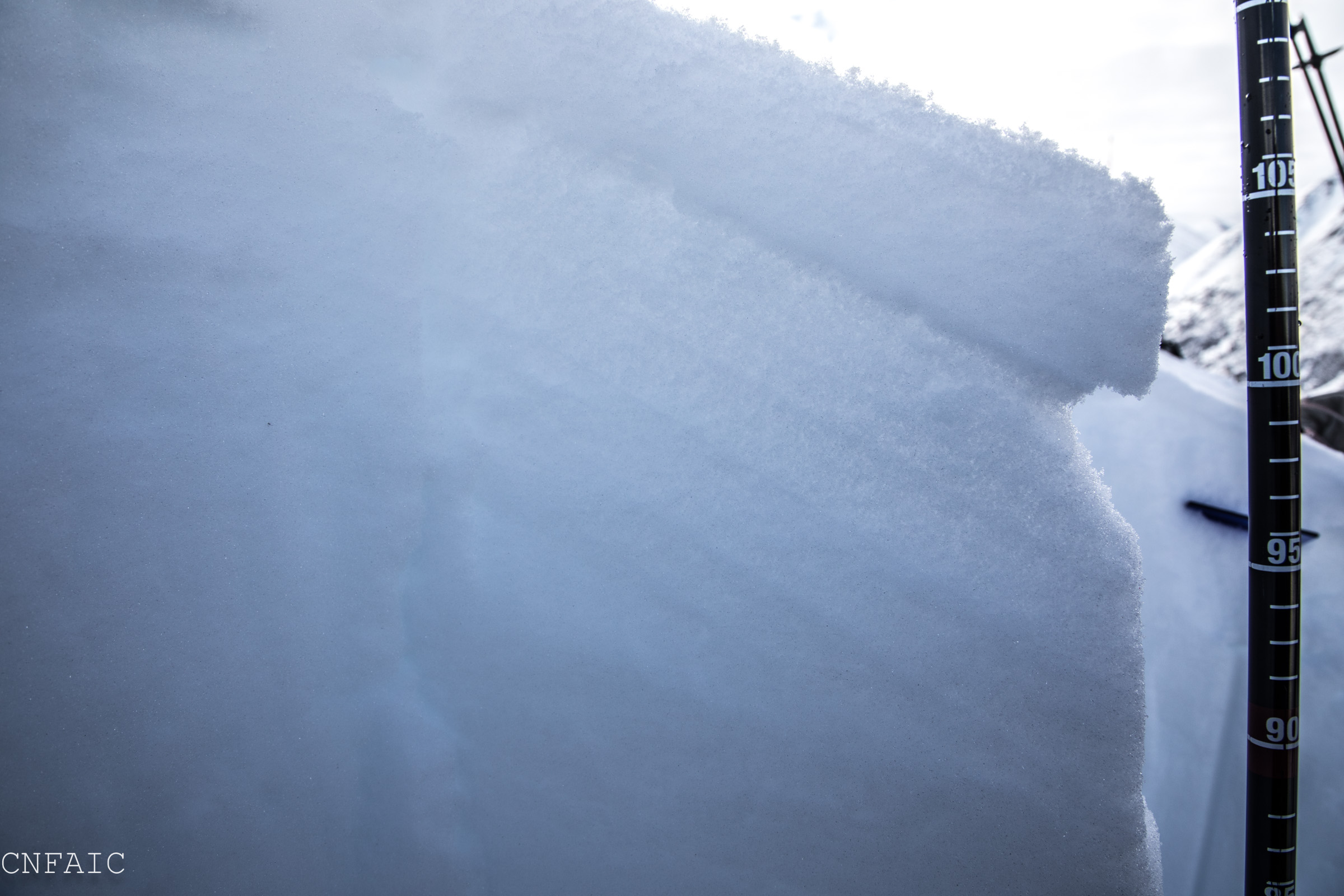
Pit wall profile - 2600' - WSW Aspect
Pit wall surface conditions - WNW Aspect
Southern Butch scouring and recent glide crack
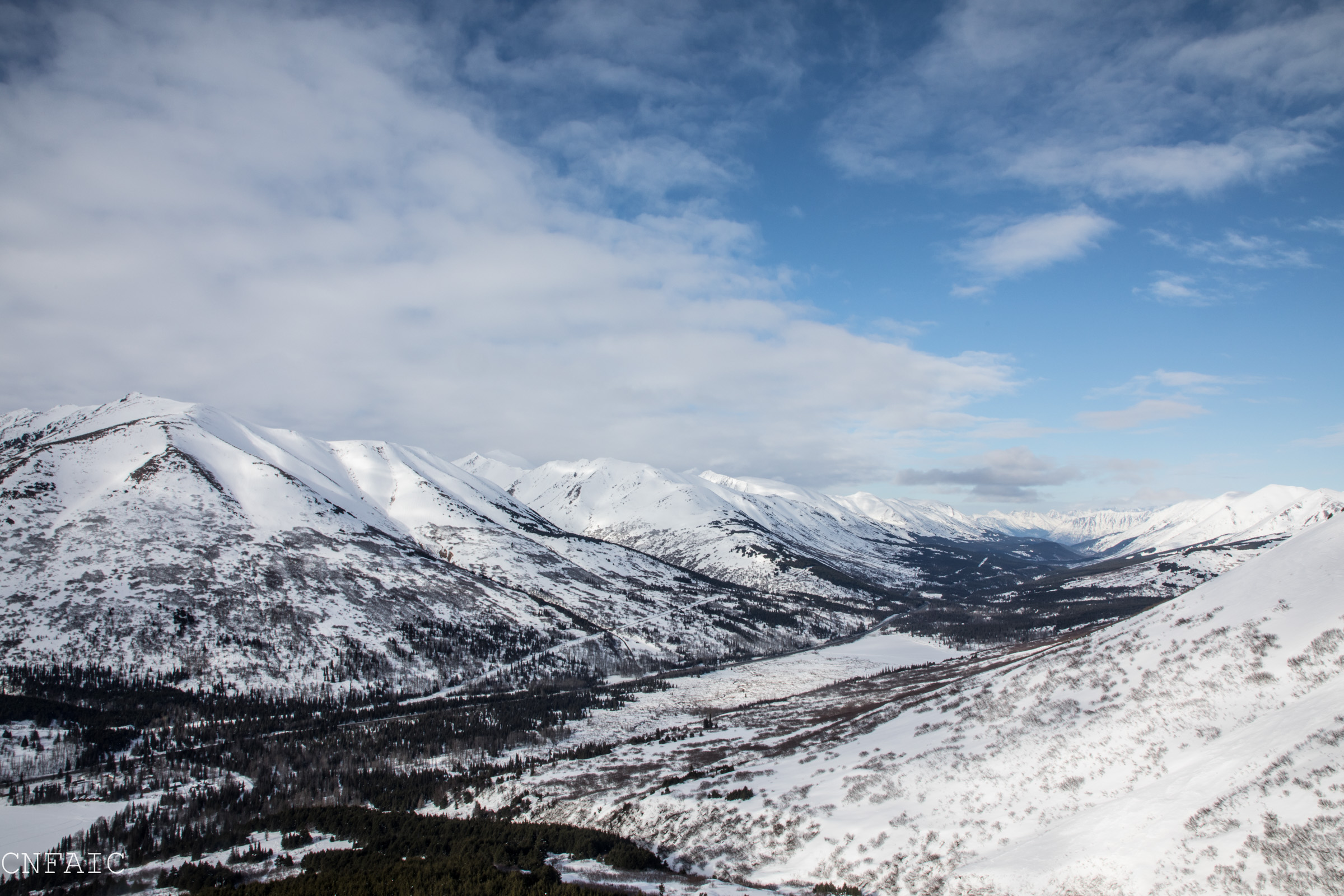
Summit coverage