Turnagain Pass RSS

Archives
ARCHIVED - Forecasts expire after 24 hours.
Issued
Fri, November 27th, 2015 - 7:00AM
Expires
Sat, November 28th, 2015 - 7:00AM
Forecaster
Wendy Wagner
Avalanche risk The Bottom Line

For the Turnagain Pass, Girdwood and Summit Lake (Kenai) regions a HIGH avalanche danger remains. Another storm moved through overnight adding 12-18″ of heavy snow at the upper elevations and rain below 2,500′. This, accompanied by winds gusting to 109mph, will continue to destabilize the snowpack.  

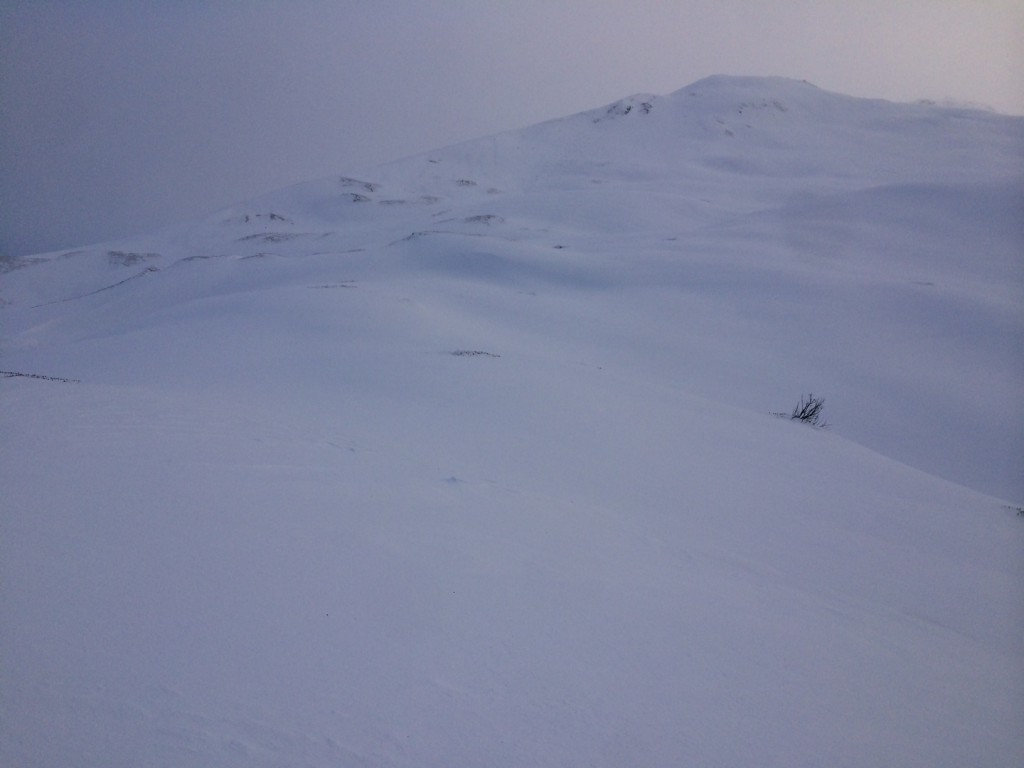
Natural and human triggered avalanches are likely. A  MODERATE  danger exists below 1,000′ in snow-free gullies and runouts where debris can be channeled from an avalanche above; possibly affecting hiking trails (see photo below).

Travel in avalanche terrain is NOT recommended again today.  The good news is, snow is piling up in the mountains – at the upper elevations. With little detailed information at this time, we are asking folks to be patient and conservative in the backcountry until these storm cycles cease.

Special Announcements

WARNING:

DANGEROUS AVALANCHE CONDITIONS REMAIN IN MANY AREAS both South and North of Anchorage.

This includes Hatcher Pass where a HIGH Avalanche Danger exists – see  hatcherpassavalanchecenter.org.

The Hatcher Pass road closure is still in effect and  Park Rangers are recommending the public avoid this area. Also, there remains a missing skier at Hatcher Pass.  In addition to the road being closed, please be respectful of the rescue efforts.

Petersville / Cantwell areas:

Large avalanches have been reported North of Talkeetna and Cantwell. Although excitement is high for Thanksgiving Powder, PLEASE be  extra conservative when choosing your backcountry location. There is plenty of mellow terrain to play in but please avoid avalanche terrain – any slope over 30 degrees and its runout!  

Fri, November 27th, 2015
Alpine
Above 2,500'
4 - High
Avalanche risk
Treeline
1,000'-2,500'
4 - High
Avalanche risk
Below Treeline
Below 1,000'
2 - Moderate
Avalanche risk
0 - No Rating
1 - Low
2 - Moderate
3 - Considerable
4 - High
5 - Extreme
Avalanche risk Avalanche risk Avalanche risk Avalanche risk Avalanche risk
Travel Advice Generally safe avalanche conditions. Watch for unstable snow on isolated terrain features. Heightened avalanche conditions on specific terrain features. Evaluate snow and terrain carefully; identify features of concern. Dangerous avalanche conditions. Careful snowpack evaluation, cautious route-finding, and conservative decision-making essential. Very dangerous avalanche conditions. Travel in avalanche terrain not recommended. Extraordinarily dangerous avalanche conditions. Avoid all avalanche terrain.
Likelihood of Avalanches Natural and human-triggered avalanches unlikely. Natural avalanches unlikely; human-triggered avalanches possible. Natural avalanches possible; human-triggered avalanches likely. Natural avalanches likely; human-triggered avalanches very likely. Natural and human-triggered avalanches certain.
Avalanche Size and Distribution Small avalanches in isolated areas or extreme terrain. Small avalanches in specific areas; or large avalanches in isolated areas. Small avalanches in many areas; or large avalanches in specific areas; or very large avalanches in isolated areas. Large avalanches in many areas; or very large avalanches in specific areas. Very large avalanches in many areas.
Avalanche Problem 1
  • Wet Loose
    Wet Loose
Wet Loose
Wet Loose avalanches are the release of wet unconsolidated snow or slush. These avalanches typically occur within layers of wet snow near the surface of the snowpack, but they may quickly gouge into lower snowpack layers. Like Loose Dry Avalanches, they start at a point and entrain snow as they move downhill, forming a fan-shaped avalanche. Other names for loose-wet avalanches include point-release avalanches or sluffs. Loose Wet avalanches can trigger slab avalanches that break into deeper snow layers.
More info at Avalanche.org

For anyone looking at the weather stations this morning, you may have had the same reaction I did – Nooo, rain over 2,000′! A sinking reminder of last season. The storm system that rolled in last night is entraining warm subtropical air, more than forecast.

Considering this round of rain-on-snow affecting higher and drier snowpacks, we should see additional wet avalanche activity today. Many of these slides are confined to very steep terrain (pictured below), however we did have a report of a large full depth avalanche on the SW face of Max’s Mtn in Girdwood. We do not have a photo of the Max’s slide yet, but this is a popular ski/snowboard area.


Photos below: Debris reaching close to sea level in a slide path just South of Girdwood (left) and paths across the Arm (right). An example of how avalanches can affect snow-free zones.


*Snow conditions at Turnagain Pass yesterday were less than ideal for skiing/snowboarding; very wet and heavy unsupportable snow transitioned to moist and ‘punchy’ snow above treeline. Remember, snowmachining is still closed due to insufficient snow at the parking lot. 

Avalanche Problem 2
  • Storm Slabs
    Storm Slabs
Storm Slabs
Storm Slab avalanches are the release of a cohesive layer (a slab) of new snow that breaks within new snow or on the old snow surface. Storm-slabs typically last between a few hours and few days (following snowfall). Storm-slabs that form over a persistent weak layer (surface hoar, depth hoar, or near-surface facets) may be termed Persistent Slabs or may develop into Persistent Slabs.
More info at Avalanche.org

At the upper elevations it is snowing and blowing. The Sunburst anemometer (wind sensor) had a max gust of 109mph at 6:00 this morning!! Snowfall amounts are roughly 12-18″, with higher amounts in favored locations such as Girdwood and Portage Valleys. The snow cover is filling in up high with sticky Chugach Powder, which is great news. But, patience is warranted until the pack can adjust. 

We saw very little natural avalanche activity from the Thanksgiving storm that deposited 14-16″ above treeline. However, we are still concerned we could see large ‘connected’ avalanches due to a layer of faceted snow at the base of the pack (formed during the cold snap). This layer is not uniform and only exists in scattered zones (Todd’s Bowl is a suspect). With a new load added today, we will be looking for not only avalanches but the character of them.

Photo below: Tincan Common Bowl is filling in (top of bowl is around 3,200′)

Additional Concern
  • Glide Avalanches
    Glide Avalanches
Glide Avalanches
Glide Avalanches are the release of the entire snow cover as a result of gliding over the ground. Glide avalanches can be composed of wet, moist, or almost entirely dry snow. They typically occur in very specific paths, where the slope is steep enough and the ground surface is relatively smooth. They are often proceeded by full depth cracks (glide cracks), though the time between the appearance of a crack and an avalanche can vary between seconds and months. Glide avalanches are unlikely to be triggered by a person, are nearly impossible to forecast, and thus pose a hazard that is extremely difficult to manage.
More info at Avalanche.org

A number of glide cracks exist at mid-elevations on Turnagain pass, notably in areas such as the Tincan trees. Glide avalanches are very unpredictable and the recent warming temperatures and rain could cause a glide crack to release. Hence, travel under glide cracks should be limited.

Weather
Fri, November 27th, 2015

As you can see in the charts below, well over an inch of rain fell at the mid-elevation snow stations last night. This storm system is expected to continue through today with another 1″ of rain below ~2,000′ and 10+” of snow at the upper elevations. Winds will remain Easterly with averages in the 30’s to 40’s mph. Temperatures should drop slightly today by a few degrees.

For the weekend, instability showers will be over us with a slightly lower rain/snow line. Skies may clear a bit as well for the weekend and the Easterly winds decrease. Stay tuned.  

PRECIPITATION 24-hour data (6am – 6am)

  Temp Avg (F) Snow (in) Water (in) Snow Depth (in)
Center Ridge (1880′) 34   0 (rain overnight)   1.4   25  
Summit Lake (1400′) 36   0 (rain overnight)   0.5 10  
Alyeska Mid (1700′) 34   0 (rain overnight)   1.6   18  

RIDGETOP 24-hour data (6am – 6am)

  Temp Avg (F) Wind Dir Wind Avg (mph) Wind Gust (mph)
Sunburst (3812′) 27   ENE   42   109  
Seattle Ridge (2400′) 29    SE   33   72  
Observations
Recent Observations for Turnagain Pass
Date Region Location
04/16/24 Turnagain Observation: Cornbiscuit
04/15/24 Turnagain Observation: Taylor Pass
04/15/24 Turnagain Observation: Seward Highway – Tern Lake to Portage
04/14/24 Turnagain Observation: Sunburst
04/14/24 Turnagain Observation: Turnagain Pass Snomo
04/13/24 Turnagain Observation: Spokane Creek
04/11/24 Turnagain Observation: Tincan
04/10/24 Turnagain Avalanche: Seattle Ridge
04/10/24 Turnagain Observation: Cornbiscuit South Face
04/10/24 Turnagain Avalanche: Tincan
Riding Areas

The riding areas page has moved. Please click here & update your bookmarks.


Subscribe to Turnagain Pass
Avalanche Forecast by Email

This is a general backcountry avalanche advisory issued for Turnagain Arm with Turnagain Pass as the core advisory area. This advisory does not apply to highways, railroads or operating ski areas.