Turnagain Pass Avalanche Forecast
|
![]() ![]() |
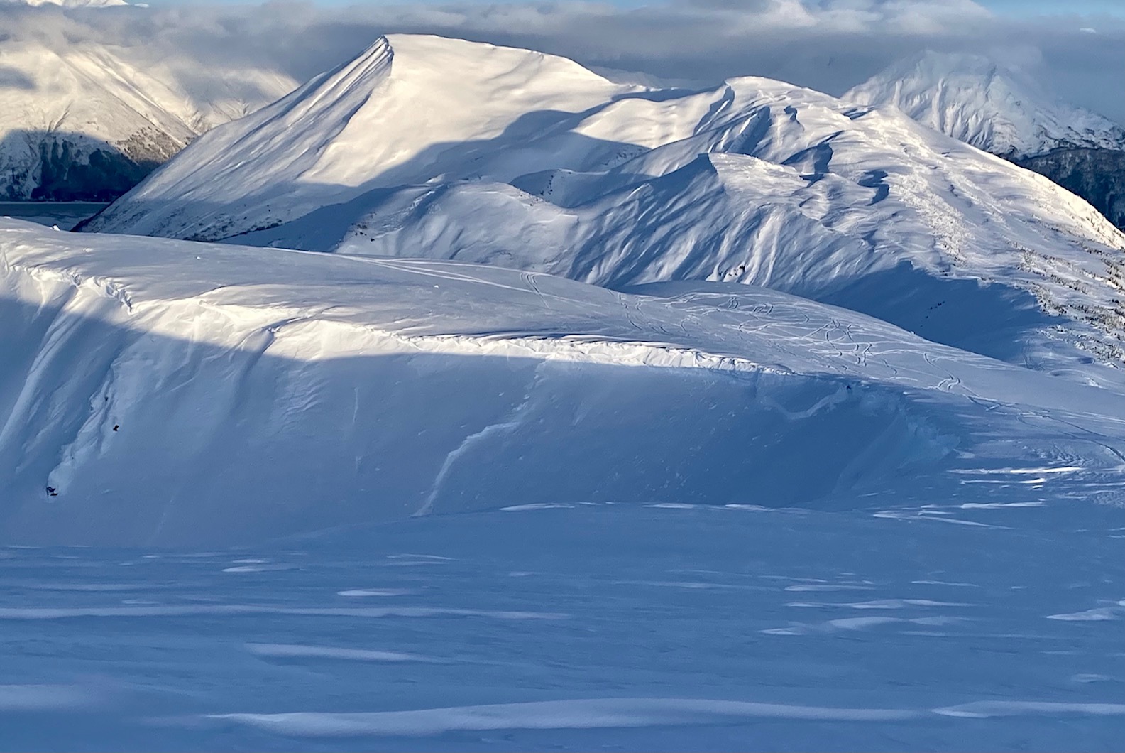
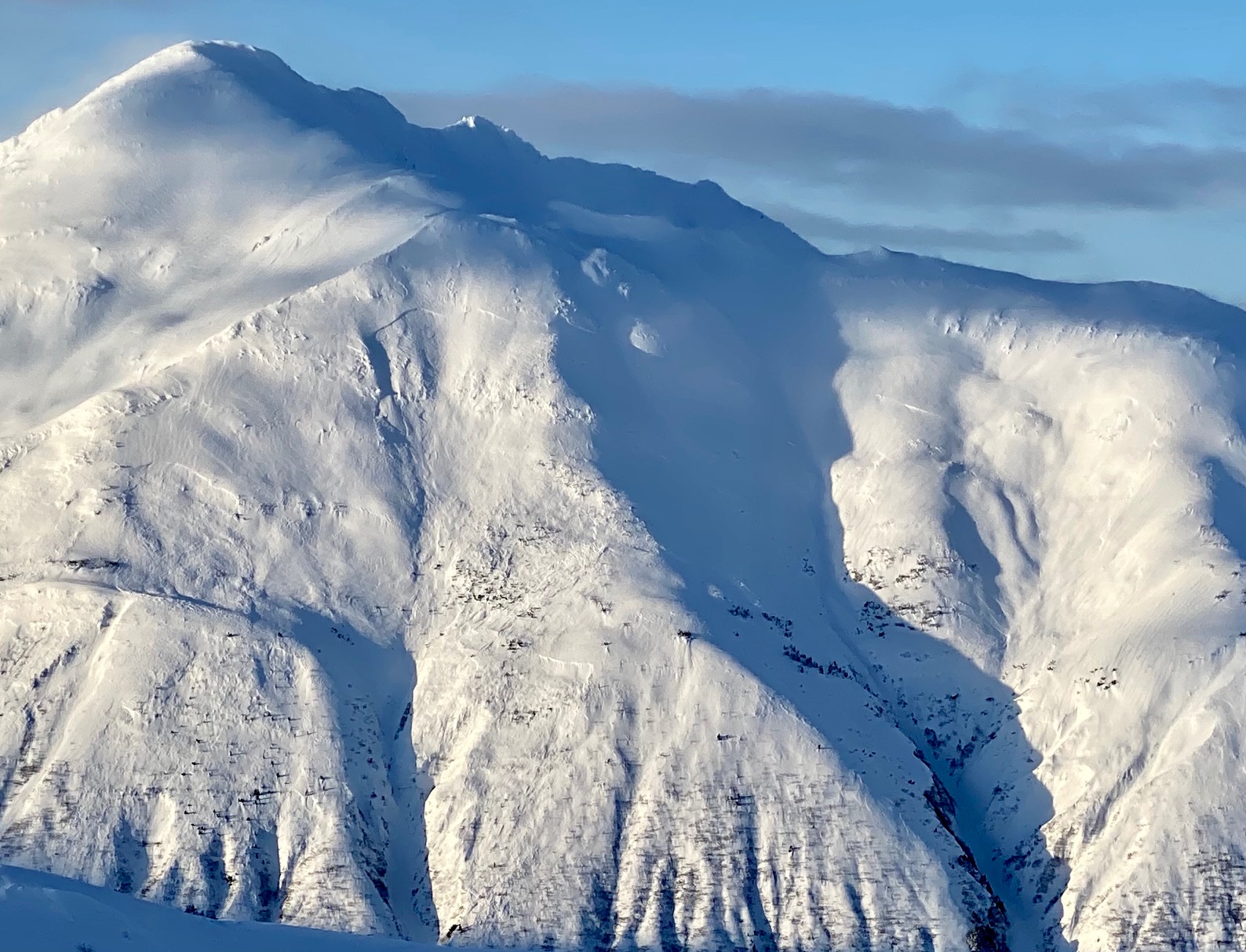
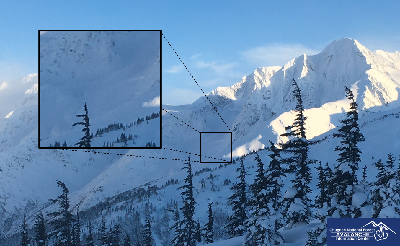
The avalanche danger is CONSIDERABLE above 1000′ as northwest winds continue to build sensitive wind slabs on top of a snowpack that harbors a layer of weak, sugary facets buried 4-6′ deep. A relatively small wind slab triggered near the surface can step down to create a large avalanche on that deeper weak layer. Large avalanches on those weak facets may be triggered from the side of or below steeper slopes, and they may be triggered on slopes that already have multiple sets of tracks on them. This is a tricky snowpack that requires cautious route finding, avoiding spending time on or below slopes 35 degrees or steeper.
The danger will be MODERATE below 1000′. It is still possible a person may trigger an avalanche in steep, wind loaded terrain. Be on the lookout for signs of dangerous conditions like collapsing or shooting cracks, and stick to lower angle terrain if you see any of the above.
SUMMIT LAKE/SNUG HARBOR/LOST LAKE/SEWARD: Northwest outflow winds are expected to be strongest in these areas, making wind slab avalanches larger and easier to trigger.
We are sad to report the first U.S. avalanche fatality of the season near Crystal Mountain, WA yesterday. 6 people were caught and buried in an avalanche, 5 were rescued and 1 did not survive. Our sincere condolences go out to the family and friends of those involved. Preliminary details in this news article.
Seattle Ridge: A group taking an avalanche course watched a natural avalanche on the front side of Seattle Ridge yesterday. They also experienced large collapses and got propagating test results in snowpits at and below treeline.
Natural avalanche on the front side of Seattle Ridge. Photo: Joe Stock. 12.11.2021
Signal Word | Size (D scale) | Simple Descriptor |
Small | 1 | Unlikely to bury a person |
Large | 2 | Can bury a person |
Very Large | 3 | Can destroy a house |
Historic | 4 & 5 | Can destroy part or all of a village |
Northwest winds will continue today at 10-20 mph, building fresh wind slabs that a person could likely trigger. These will be easier to find at higher elevations on the typical suspect features- just below ridgelines, convexities, or in gullies. The slabs formed by these moderate winds should be less than a foot thick, but there is a good chance that even a small avalanche triggered near the surface could step down to trigger a larger avalanche on weak snow buried 3-6′ deep (see more on this in problem 2).
Be skeptical of the terrain features mentioned above, and be on the lookout for signs of recent wind loading. This could look like a smooth, rounded pillow of snow or a rippled texture on the surface, and it will feel like stiff or punchy snow on top of softer snow. You may also notice warning signs of unstable snow like cracking or collapsing below fresh wind slabs. The dangerous setup below the surface will require treating these surface instabilities with a little extra caution.
Natural avalanche on a wind loaded slope at the top of Zero Bowl on the back side of Seattle Ridge. This likely occurred a few days ago, but similar activity may be possible as winds blow today. 12.11.2021
Signal Word | Size (D scale) | Simple Descriptor |
Small | 1 | Unlikely to bury a person |
Large | 2 | Can bury a person |
Very Large | 3 | Can destroy a house |
Historic | 4 & 5 | Can destroy part or all of a village |
Those of you who have been following the advisories for the past few weeks are probably well aware of the persistent weak layers of sugary facets lurking 3-6′ below the surface. As this layer gets buried deeper it is becoming more difficult to trigger, but we still need to approach it with caution. We are about 48 hours out from a major loading event where we saw large avalanches throughout the advisory area (check out more details and photos from Girdwood, Seattle Ridge, and Magnum/Cornbiscuit).
These layers are tricky because they usually won’t give you any kind of feedback before you trigger a large avalanche. It can be easy to get a false sense of security by seeing previous tracks on a slope, but we have recently seen avalanches on this layer getting triggered by the third or fourth person on the slope. We’ve also seen these avalanches triggered remotely, meaning that a person can trigger an avalanche without actually getting out into steep terrain. This requires an extra level of awareness, especially paying attention to the terrain above you. At this point an avalanche failing on this weak layer has the potential to be really, really big. We’ve seen them propagating thousands of feet wide and 4′-6′ deep or deeper. With consequences that high, we need to be extra cautious and avoid playing on or below slopes steeper than 35 degrees.
Natural slabs seen across Seattle Creek from the weather station. These failed during or just after the 12/9 storm. 12.11.2021
Large natural avalanche lower down on A1. Hard saying how deep it was looking at it from over on Notch, but it looked to be in the 6’+ range. 12.11.2021
Yesterday: Temperatures started in the single digits to low teens F, dropping through the day and overnight. Winds were blowing out of the Northwest at 5-10 mph for the core advisory area, and 10-20 mph near Summit Lake. Skies were mostly sunny.
Today: Temperatures are currently in the single digits below 0F, and expected to continue to drop through the day into tonight. Northwesterly winds are expected at 10-20 mph with another day of mostly sunny skies.
Tomorrow: After dropping down to the minus teens F tonight we will see temperatures start to slowly climb tomorrow, although they will struggle to get above 0F. Skies will once again be mostly sunny, but we may see clouds moving in later in the day. Westerly winds will continue but they are expected to die down a bit, blowing around 5-10 mph.
PRECIPITATION 24-hour data (6am – 6am)
Temp Avg (F) | Snow (in) | Water (in) | Snow Depth (in) | |
---|---|---|---|---|
Center Ridge (1880′) | 5 | 0 | 0 | 80 |
Summit Lake (1400′) | 2 | 0 | 0 | 24 |
Alyeska Mid (1700′) | 6 | 0 | 0 | 51 |
RIDGETOP 24-hour data (6am – 6am)
Temp Avg (F) | Wind Dir | Wind Avg (mph) | Wind Gust (mph) | |
---|---|---|---|---|
Sunburst (3812′) | -5 | WNW | 5 | 20 |
Seattle Ridge (2400′) | -1 | WNW | 2 | 14 |
Date | Region | Location | Observer |
---|---|---|---|
05/22/23 | Turnagain | Avalanche: Tincan | Nick D'Alessio |
05/12/23 | Turnagain | Avalanche: Tincan, Sunburst, Magnum, Cornbiscuit | Heather Thamm |
05/07/23 | Turnagain | Observation: Tincan – Bear Tracks | CNFAIC Staff |
05/05/23 | Turnagain | Observation: Seattle Ridge | AS/ WW Forecaster |
05/02/23 | Turnagain | Observation: Cornbiscuit | Schauer/ Sturgess Forecaster |
05/02/23 | Turnagain | Observation: Seward Hwy Turnagain Pass | Joel Curtis |
04/30/23 | Turnagain | Observation: Magnum | Ayla, Kit Crosby, Barton |
04/29/23 | Turnagain | Observation: Tincan | John Sykes |
04/28/23 | Turnagain | Avalanche: Taylor Pass/Pastoral | Schauer/ Creighton Forecaster |
04/28/23 | Turnagain | Avalanche: Tincan | Andy Moderow |
Status of riding areas across the Chugach NF is managed by the Glacier and Seward Ranger Districts, not avalanche center staff. Riding area information is posted as a public service to our users and updated based on snow depth and snow density to prevent resource damage at trailhead locations. Riding area questions contact: mailroom_r10_chugach@fs.fed.us
Area | Status | Weather & Riding Conditions |
---|---|---|
Glacier District |
Subscribe to Turnagain Pass
Avalanche Forecast by Email
This is a general backcountry avalanche advisory issued for Turnagain Arm with Turnagain Pass as the core advisory area. This advisory does not apply to highways, railroads or operating ski areas.