Saw several crowns from the road, but it was hard to tell how fresh some of them were and whether they could have been partially filled in glide cracks because of the cloud cover. See photos for descriptions.
Observation: Turnagain
Location: Road Observations
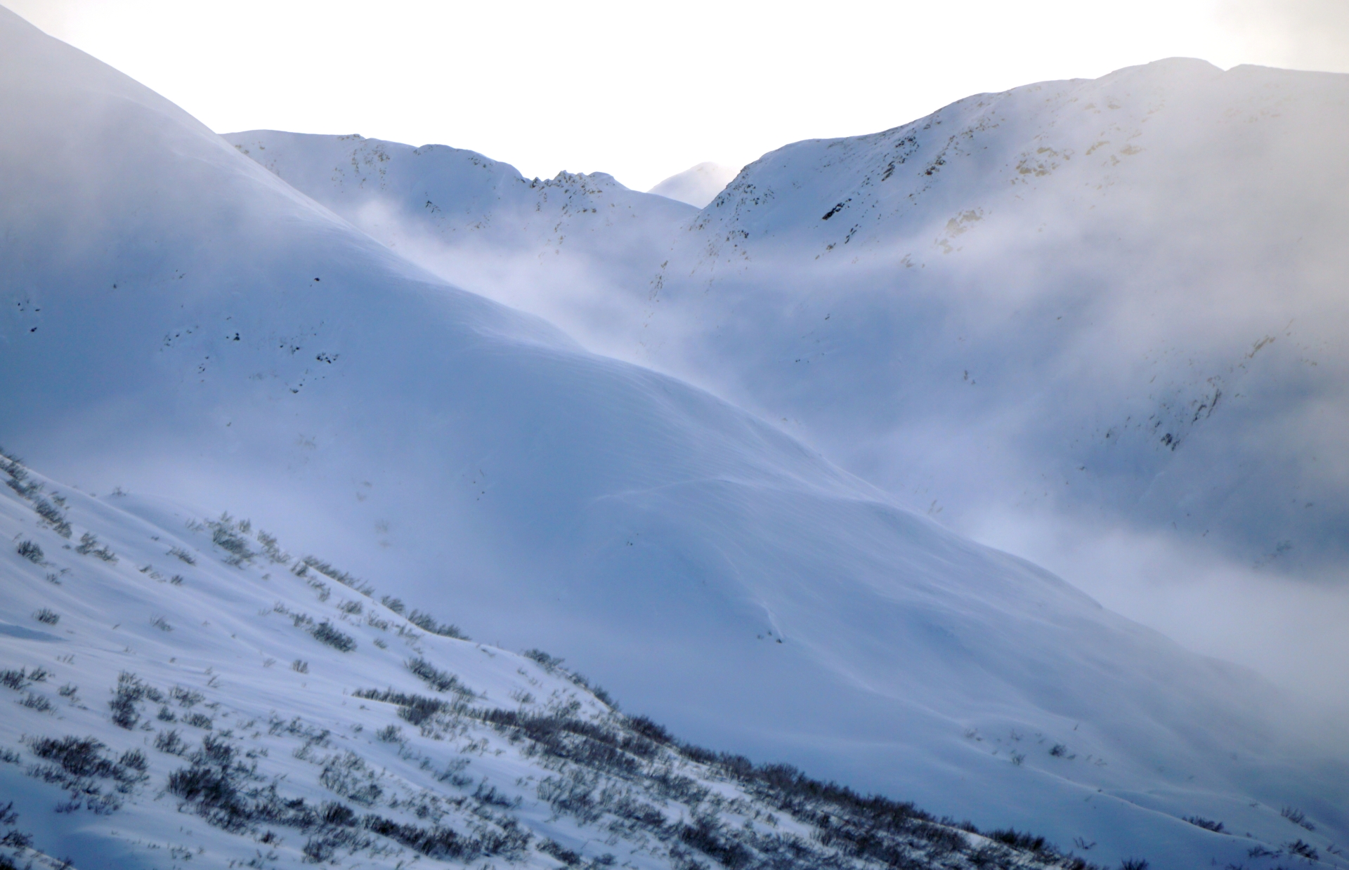
Drove the pass down to Hope Y and back. Visibility improved in the afternoon and provided some views of the ridge lines on the south end of Turnagain pass.
Observer Comments
Weather
No new snow between 11 am and 2 pm. Clouds were thick on the north side of the pass and obscured terrain above ~1000 to 1500'. On the south side of the pass the clouds temporarily lifted in the afternoon to provide a sneak peak.
Snow surface
Observed surface texture that indicates recent wind transport along ridge lines of Cornbiscuit and Magnum above 2000' during break in clouds.
Recent wind transport along Cornbiscuit ridge line above 2000'
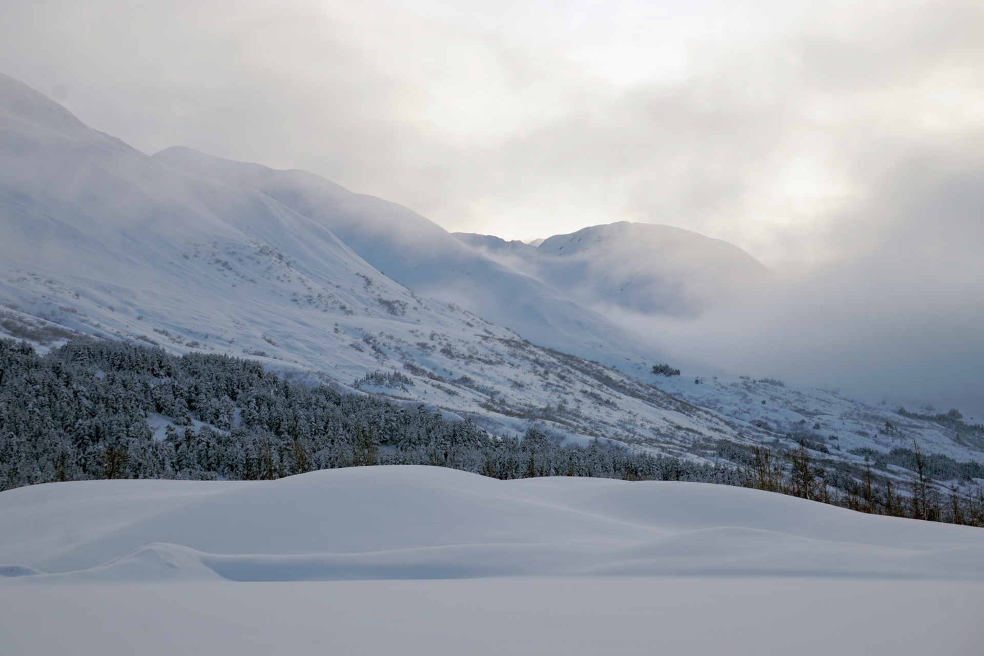
Clouds lifted on the southern end of the pass in the afternoon but conditions were mostly cloudy throughout the day.
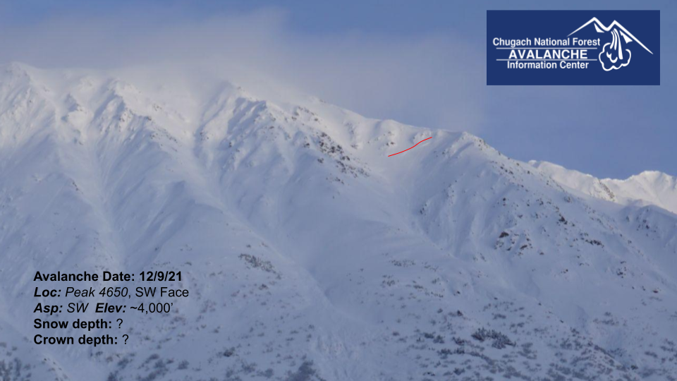
Possible storm or wind slab at 4000' on Peak 4650 (name on Cal Topo map), the peak is located on the opposite side of six mile creek from Twin Peaks.

Possible new crowns on N Face of Cornbiscuit at about 2700'. Clouds were in and out and it was too far away to be sure these are avalanches or how deep they would be.

Possible new crown on N Face of Magnum at about 2900'. This once could be an old glide crack that is filling in and just looks like a fresh avalanches. I couldn't see the debris so it is hard to be sure.