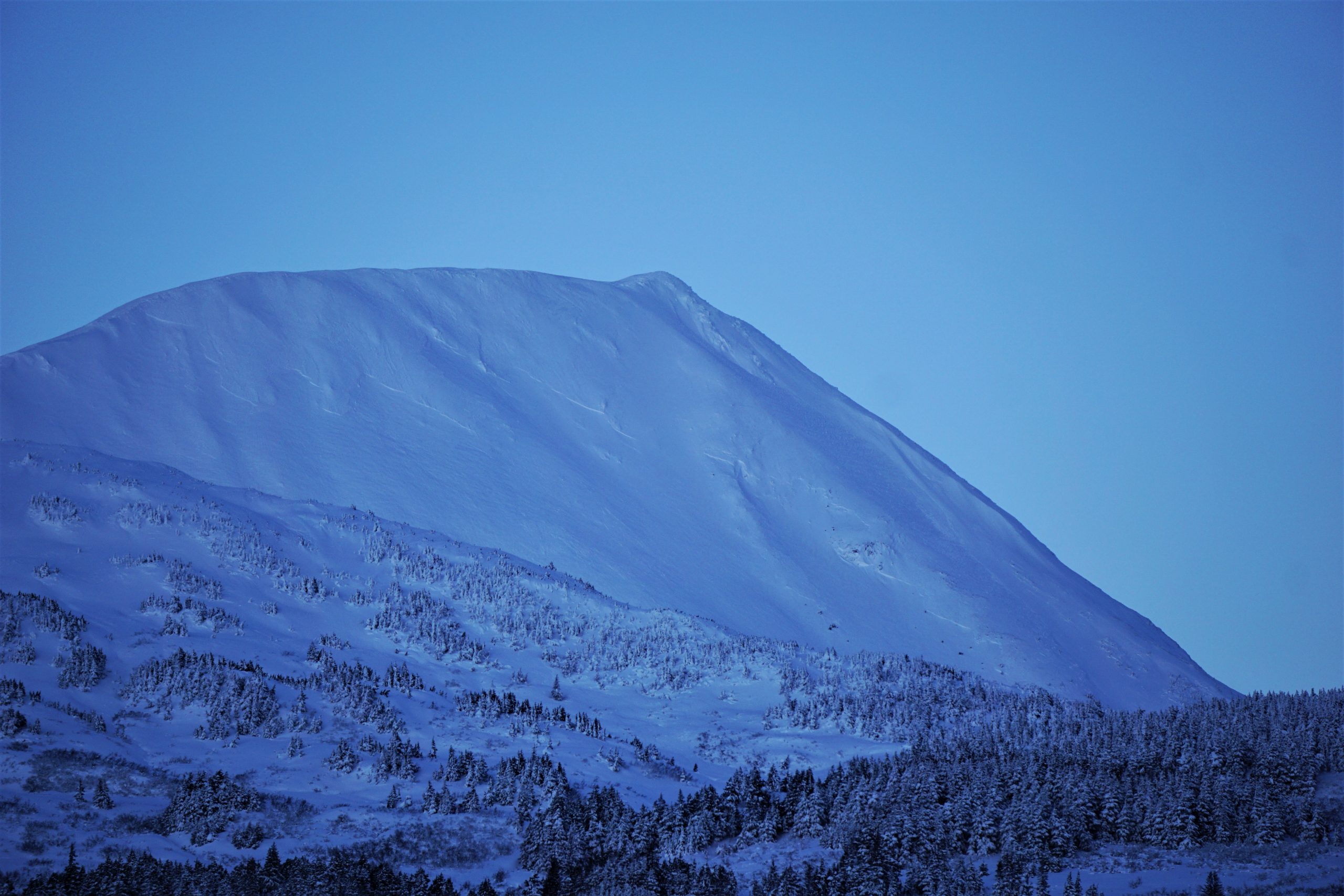
Turnagain Pass Avalanche Forecast
|
![]() ![]() |
![]() |
High Avalanche Danger
Travel in avalanche terrain is not recommended. Avoid being on or beneath all steep slopes.
|
The avalanche danger is expected to rise to HIGH today as another round of strong wind and heavy snow picks up in the afternoon. Large natural avalanches 1-2′ deep will become likely as 30-60 mph winds build sensitive wind slabs on top of a weak foundation. It is likely that an avalanche triggered within the new snow will step down to weak layers buried 4-6′ deep, running long distances into the valley bottoms. Be aware of increasing danger through the day. If you are trying to get out this morning ahead of the storm, be ready to get back to the parking lot as the storm picks up and avalanche danger rapidly increases.
PORTAGE/PLACER VALLEYS: These areas are expected to see heavier snowfall and stronger winds than the Girdwood and Turnagain areas. Large natural avalanches are expected as the storm intensifies this afternoon.
SNUG HARBOR/LOST LAKE: It is looking like this zone will pick up over a foot of snow by tomorrow morning. The snowpack in this area is very weak, and we have heard about several very large natural avalanches that occurred in the past week. Expect more of the same as the storm moves in, and be aware of the potential for natural avalanches running to valley bottoms.
The National Weather Service has issued a Winter Storm Warning from 9:00 a.m. today through 6:00 a.m. tomorrow for Girdwood, Whittier, Moose Pass, and Seward.
Seattle Ridge: There was another large human-triggered avalanche in Main Bowl yesterday that carried a rider and his machine. The person was able to deploy an avalanche airbag and ended up on top of the debris. This is the third large human-triggered avalanche in Main Bowl in the past week. More details here.
Snowmachine-triggered avalanche on Seattle Ridge’s Main Bowl yesterday. The avalanche was estimated at 3′ deep and 1000′ wide. Rider was caught and carried, but ended up on top of the debris after deploying an avalanche airbag. Photo: Jacob Ohms. 12.08.2021
Signal Word | Size (D scale) | Simple Descriptor |
Small | 1 | Unlikely to bury a person |
Large | 2 | Can bury a person |
Very Large | 3 | Can destroy a house |
Historic | 4 & 5 | Can destroy part or all of a village |
After a brief quiet period yesterday, a strong weather system is moving back in today. Easterly winds are expected to increase to around 30 mph in Turnagain Pass and 40-50 mph near Girdwood, with gusts as high as 60-70 mph. Heavy snowfall is also expected to begin mid day, and there is already plenty of soft snow on the ground ready to be blown around as soon as the winds pick up. Large natural avalanches 1-2′ deep will become likely, with human-triggered avalanches very likely. These fresh wind slabs will be building on top of an already dangerous snowpack that has been producing very large avalanches for the past week. It is likely that an avalanche triggered in the new and wind-transported snow at the surface will step down to make an even bigger avalanche failing on weak, faceted snow that will be buried 4-6′ deep. More on this in problem 2 below.
Conditions will quickly become dangerous when the storm arrives. If you do try to get out ahead of the storm, be ready to get back down and out of avalanche terrain quickly and head down to the parking lot when you notice the weather start to act up.
Here comes the next round! It is looking like Turnagain Pass will get hit hard by this round. The storm is expected to intensify during the day today and continue overnight. Graphic courtesy of NWS Anchorage.
Signal Word | Size (D scale) | Simple Descriptor |
Small | 1 | Unlikely to bury a person |
Large | 2 | Can bury a person |
Very Large | 3 | Can destroy a house |
Historic | 4 & 5 | Can destroy part or all of a village |
We are dealing with a really dangerous snowpack right now. The weak faceted snow buried 3-4′ deep on top of the Halloween crust is still producing avalanches, with another large human-triggered avalanche carrying a snowmachiner in Main Bowl yesterday (details). As the wind and snow starts to pick up today, we can expect to see big avalanches failing on that weak layer. This layer is nothing to mess with. It has consistently been producing human-triggered avalanches up to 1000′ wide and over 3′ deep (Main Bowl 1, Main Bowl 2, Main bowl 3, Eddie’s, Magnum), and it was responsible for several large natural avalanches during the most recent storm on Monday and Tuesday (see the photo of Pyramid below). Sometimes these layers can be difficult to predict, but right now it is quite clearly a reactive layer that is ready to make big avalanches.
Heavy snowfall and strong winds will be testing this layer with a big load today, and it is likely we will see natural avalanches running to valley bottoms as this layer gets pushed to its breaking point. As mentioned in problem 1 above, a relatively small avalanche failing in the new snow has the potential to trigger a deeper avalanche on this weak layer. Keep this in mind as the weather picks up today, and make sure to get back to the parking lot when you start to notice the weather getting nasty.
Large crown on the east face of Pyramid. The avalanche released on Tuesday during the strong winds on the tail of the last storm. Similar activity is likely as winds and snow pick up today. 12.08.2021
We saw the same dangerous setup on Sunburst yesterday that that has been producing large avalanches across the advisory area. See the video below for a quick summary (link here).
Yesterday: We had a brief break in the active weather yesterday, with mostly sunny skies in the morning. Clouds moved in throughout the day and skies were obscured by the afternoon. Winds stayed light out of the east, with high temperatures in the upper teens F and overnight lows in the single digits to low teens F. Light flurries in the afternoon did not produce any measurable precipitation.
Today: Thing are once again going to get spicy. Easterly winds are expected to pick up to 25-35 mph in Turnagain Pass and 40-50 mph in Girdwood, with gusts as high as 60-70 mph. Heavy snowfall is expected to start later today, with 4-8″ expected during the day and another 10-12″ tonight. High temperatures should be in the upper teens to mid 20’s F, and snow should make it down to sea level.
Tomorrow: Snowfall is expected to taper off tomorrow morning, with winds dying down to around 10 mph and switching back out of the west. High temperatures are expected to hang in the upper teens to low 20’s F under mostly cloudy skies before beginning a sharp decline that could take us to a very, very cold place over the weekend.
PRECIPITATION 24-hour data (6am – 6am)
Temp Avg (F) | Snow (in) | Water (in) | Snow Depth (in) | |
---|---|---|---|---|
Center Ridge (1880′) | 15 | 0 | 0 | 66 |
Summit Lake (1400′) | 6 | 0 | 0 | 39 |
Alyeska Mid (1700′) | 15 | 0 | 0 | N/A |
RIDGETOP 24-hour data (6am – 6am)
Temp Avg (F) | Wind Dir | Wind Avg (mph) | Wind Gust (mph) | |
---|---|---|---|---|
Sunburst (3812′) | 9 | W | 4 | 25 |
Seattle Ridge (2400′) | 10 | N/A* | N/A* | N/A* |
*Seattle Ridge anemometer is rimed over.
Date | Region | Location | Observer |
---|---|---|---|
05/22/23 | Turnagain | Avalanche: Tincan | Nick D'Alessio |
05/12/23 | Turnagain | Avalanche: Tincan, Sunburst, Magnum, Cornbiscuit | Heather Thamm |
05/07/23 | Turnagain | Observation: Tincan – Bear Tracks | CNFAIC Staff |
05/05/23 | Turnagain | Observation: Seattle Ridge | AS/ WW Forecaster |
05/02/23 | Turnagain | Observation: Cornbiscuit | Schauer/ Sturgess Forecaster |
05/02/23 | Turnagain | Observation: Seward Hwy Turnagain Pass | Joel Curtis |
04/30/23 | Turnagain | Observation: Magnum | Ayla, Kit Crosby, Barton |
04/29/23 | Turnagain | Observation: Tincan | John Sykes |
04/28/23 | Turnagain | Avalanche: Taylor Pass/Pastoral | Schauer/ Creighton Forecaster |
04/28/23 | Turnagain | Avalanche: Tincan | Andy Moderow |
Status of riding areas across the Chugach NF is managed by the Glacier and Seward Ranger Districts, not avalanche center staff. Riding area information is posted as a public service to our users and updated based on snow depth and snow density to prevent resource damage at trailhead locations. Riding area questions contact: mailroom_r10_chugach@fs.fed.us
Area | Status | Weather & Riding Conditions |
---|---|---|
Glacier District |
Subscribe to Turnagain Pass
Avalanche Forecast by Email
This is a general backcountry avalanche advisory issued for Turnagain Arm with Turnagain Pass as the core advisory area. This advisory does not apply to highways, railroads or operating ski areas.