Turnagain Pass RSS

Archives
ARCHIVED - Forecasts expire after 24 hours.
Issued
Wed, March 11th, 2020 - 7:00AM
Expires
Thu, March 12th, 2020 - 7:00AM
Forecaster
Aleph Johnston-Bloom
Avalanche risk The Bottom Line

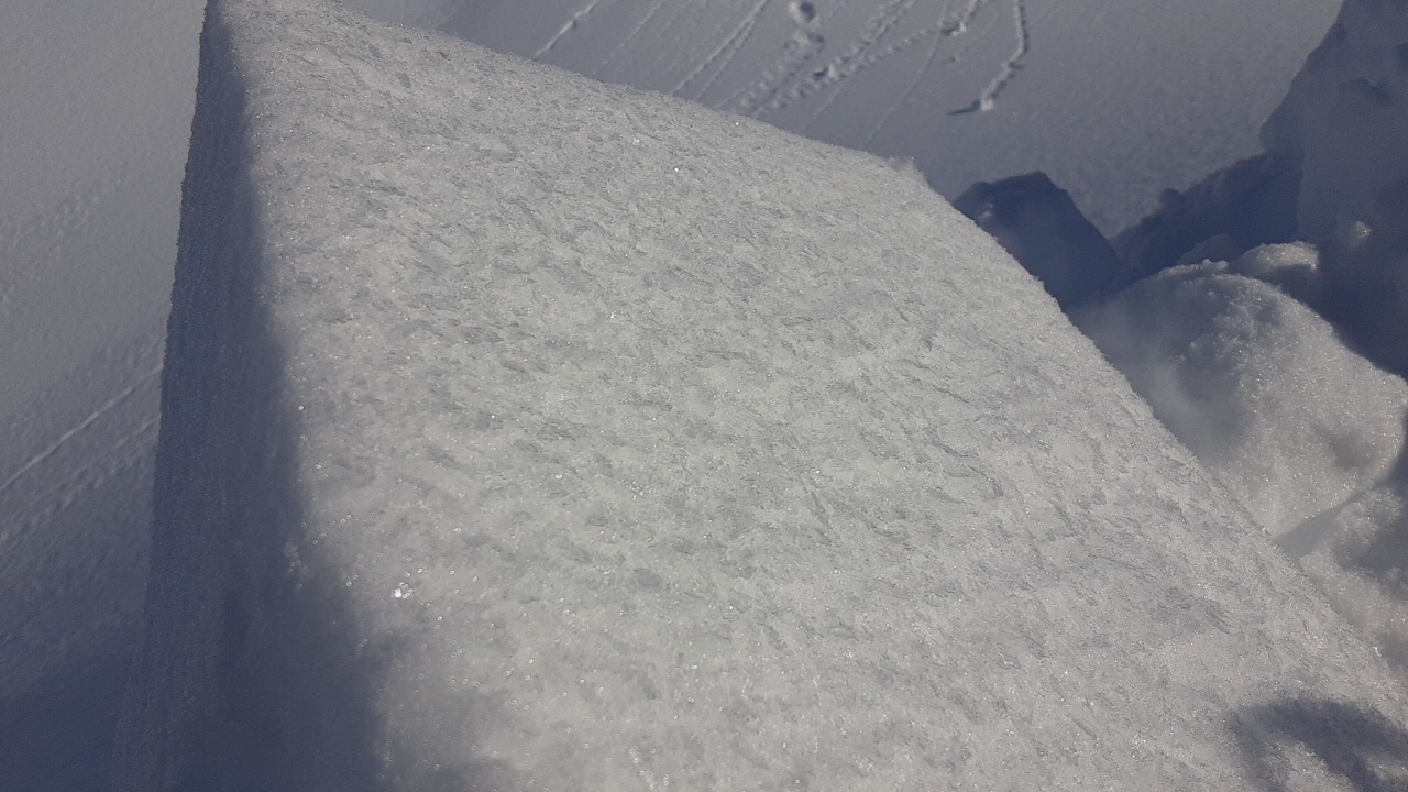
The avalanche danger is MODERATE at all elevations. With another day of northwest winds, watch for blowing snow and wind affected surface snow.  Triggering a wind slab around 1-2′ deep in steep wind loaded terrain is possible. Additionally, there is still a chance of triggering a deep persistent slab. Watch for sluffing on steep protected slopes and signs of surface heating on solar aspects. Evaluate snow and terrain carefully.

SUMMIT LAKE to LOST LAKE and SEWARDSouth of Turnagain Pass will continue to be more impacted by the outflow winds. Natural avalanches were observed yesterday and could occur again today.  In addition, in much of the terrain the snowpack is shallower and has poor structure. Triggering a large avalanche that breaks on weak faceted snow is possible. Conservative route finding and decision making are recommended.

Special Announcements

A preliminary accident report on the fatal accident that occurred on March 9th is up on the Hatcher Pass Avalanche Center Observation page. Link HERE. Our deepest condolences to all impacted by this sad event.

Heading to Hatcher Pass or Chugach State Park? Be sure to check out the recent avalanche observations. Also follow Hatcher Pass Avalanche Center on Facebook for updates during the week.

Wed, March 11th, 2020
Alpine
Above 2,500'
2 - Moderate
Avalanche risk
Treeline
1,000'-2,500'
2 - Moderate
Avalanche risk
Below Treeline
Below 1,000'
2 - Moderate
Avalanche risk
0 - No Rating
1 - Low
2 - Moderate
3 - Considerable
4 - High
5 - Extreme
Avalanche risk Avalanche risk Avalanche risk Avalanche risk Avalanche risk
Travel Advice Generally safe avalanche conditions. Watch for unstable snow on isolated terrain features. Heightened avalanche conditions on specific terrain features. Evaluate snow and terrain carefully; identify features of concern. Dangerous avalanche conditions. Careful snowpack evaluation, cautious route-finding, and conservative decision-making essential. Very dangerous avalanche conditions. Travel in avalanche terrain not recommended. Extraordinarily dangerous avalanche conditions. Avoid all avalanche terrain.
Likelihood of Avalanches Natural and human-triggered avalanches unlikely. Natural avalanches unlikely; human-triggered avalanches possible. Natural avalanches possible; human-triggered avalanches likely. Natural avalanches likely; human-triggered avalanches very likely. Natural and human-triggered avalanches certain.
Avalanche Size and Distribution Small avalanches in isolated areas or extreme terrain. Small avalanches in specific areas; or large avalanches in isolated areas. Small avalanches in many areas; or large avalanches in specific areas; or very large avalanches in isolated areas. Large avalanches in many areas; or very large avalanches in specific areas. Very large avalanches in many areas.
Recent Avalanches

There was a natural avalanche cycle observed in Summit Lake yesterday as strong northwest winds overloaded the weak snowpack. Avalanches were observed in motion from the highway. There was also a skier triggered wind slab avalanche on Raggedtop Mountain in Girdwood. The skier was briefly caught and carried but skied out of the slide. Thanks to the reporting party for their discussion of the decision making of the day and big thanks to all that sent in observations yesterday.

Natural avalanche in motion observed above Summit Lake on an east facing slope, west side of the highway at 6:42 pm last night. Observer noted that it looked like it stepped down older snow. 3.10.20. Photo: Matt Yoder. 

Skier triggered wind slab on southwest aspect of Ragged at 3000′. Observer noted that it was generally a thin slab but propagated around 300′ across. 3.10.20. Photo: Peter Wadsworth.

Avalanche Problem 1
  • Wind Slabs
    Wind Slabs
  • Certain
    Very Likely
    Likely
    Possible
    Unlikely
    Likelihood
  • Historic (D4-5)
    Very Large (D3)
    Large (D2)
    Small (D1)
    Size
Wind Slabs
Wind Slab avalanches are the release of a cohesive layer of snow (a slab) formed by the wind. Wind typically transports snow from the upwind sides of terrain features and deposits snow on the downwind side. Wind slabs are often smooth and rounded and sometimes sound hollow, and can range from soft to hard. Wind slabs that form over a persistent weak layer (surface hoar, depth hoar, or near-surface facets) may be termed Persistent Slabs or may develop into Persistent Slabs.

Likelihood of Avalanches
Terms such as "unlikely", "likely", and "certain" are used to define the scale, with the chance of triggering or observing avalanches increasing as we move up the scale. For our purposes, "Unlikely" means that few avalanches could be triggered in avalanche terrain and natural avalanches are not expected. "Certain" means that humans will be able to trigger avalanches on many slopes, and natural avalanches are expected.

Size of Avalanches
Avalanche size is defined by the largest potential avalanche, or expected range of sizes related to the problem in question. Assigned size is a qualitative estimate based on the destructive classification system and requires specialists to estimate the harm avalanches may cause to hypothetical objects located in the avalanche track (AAA 2016, CAA 2014). Under this schema, "Small" avalanches are not large enough to bury humans and are relatively harmless unless they carry people over cliffs or through trees or rocks. Moving up the scale, avalanches become "Large" enough to bury, injure, or kill people. "Very Large" avalanches may bury or destroy vehicles or houses, and "Historic" avalanches are massive events capable of altering the landscape.

Signal Word Size (D scale) Simple Descriptor
Small 1 Unlikely to bury a person
Large 2 Can bury a person
Very Large 3 Can destroy a house
Historic 4 & 5 Can destroy part or all of a village
More info at Avalanche.org

The northwest outflow winds were moving snow yesterday and obvious flagging was observed around the forecast area and south to Seward. The AKRR MP 43 weather station that sits near Bench Peak, above and to the west of Grandview, seems to capture these winds. Steady winds in the 20s with gusts into the 50s were recorded in the late afternoon and overnight. Today the winds are forecast to slowly decrease but may bump back up overnight. Turnagain Pass is often spared by this wind direction but where ever you decide to go, it will be important to pay attention blowing snow and surface conditions. There may also be older wind slabs that formed over the past several days. In general wind slabs you find today could be 1-2′ thick and will most likely be found in Alpine terrain on loaded slopes just off ridges and in cross loaded gully features.  Fresh wind slabs that just formed could be tender but older ones may still be reactive and really be best described as a persistent slab due to the Leap day layer of buried surface hoar/small facets.  Observers noted this layer in snow pits dug in Girdwood Valley and in Turnagain Pass. On southerly aspects in some locations this buried surface hoar is on melt-freeze crust. This could well be the weak layer/bed surface in the skier triggered Raggedtop avalanche due to the nature of the propagation and the aspect. Buried surface hoar can be tricky in that it may or may not be widespread across terrain. This is still something we are trying to get a gather data on as we move into the spring break week. If you are heading out today pay attention to terrain features that look loaded or pillowed, watch for cracking or collapsing, and terrain with hard snow over a softer layer.

Wind loading yesterday near Carter Lake. 3.10.20. Photo: Alex McLain 

Leap day buried surface hoar found at in a snow pit at 2750′ in Girdwood valley down almost 2′ that propagated in an extended column test.

Cornices:  Avoid travel on cornices and limit exposure underneath them.

Loose snow avalanches:  In areas that were protected from the wind, sluffs are possible in steep terrain.

Sun effect: Even with cold temperatures the sun may impact surface snow on steep solar aspects.  Be aware of moist surface snow, small roller balls or loose snow avalanches in wind protected spots, especially below steeper rocky areas.

Avalanche Problem 2
  • Deep Persistent Slabs
    Deep Persistent Slabs
  • Certain
    Very Likely
    Likely
    Possible
    Unlikely
    Likelihood
  • Historic (D4-5)
    Very Large (D3)
    Large (D2)
    Small (D1)
    Size
Deep Persistent Slabs
Deep Persistent Slab avalanches are the release of a thick cohesive layer of hard snow (a slab), when the bond breaks between the slab and an underlying persistent weak layer deep in the snowpack. The most common persistent weak layers involved in deep, persistent slabs are depth hoar or facets surrounding a deeply buried crust. Deep Persistent Slabs are typically hard to trigger, are very destructive and dangerous due to the large mass of snow involved, and can persist for months once developed. They are often triggered from areas where the snow is shallow and weak, and are particularly difficult to forecast for and manage.

Likelihood of Avalanches
Terms such as "unlikely", "likely", and "certain" are used to define the scale, with the chance of triggering or observing avalanches increasing as we move up the scale. For our purposes, "Unlikely" means that few avalanches could be triggered in avalanche terrain and natural avalanches are not expected. "Certain" means that humans will be able to trigger avalanches on many slopes, and natural avalanches are expected.

Size of Avalanches
Avalanche size is defined by the largest potential avalanche, or expected range of sizes related to the problem in question. Assigned size is a qualitative estimate based on the destructive classification system and requires specialists to estimate the harm avalanches may cause to hypothetical objects located in the avalanche track (AAA 2016, CAA 2014). Under this schema, "Small" avalanches are not large enough to bury humans and are relatively harmless unless they carry people over cliffs or through trees or rocks. Moving up the scale, avalanches become "Large" enough to bury, injure, or kill people. "Very Large" avalanches may bury or destroy vehicles or houses, and "Historic" avalanches are massive events capable of altering the landscape.

Signal Word Size (D scale) Simple Descriptor
Small 1 Unlikely to bury a person
Large 2 Can bury a person
Very Large 3 Can destroy a house
Historic 4 & 5 Can destroy part or all of a village
More info at Avalanche.org

The snowpack structure for this avalanche problem still exists and an outlier avalanche could be a nasty surprise. There is nagging worry that someone will hit the wrong spot and trigger a very large avalanche that fails on the weak faceted snow from January. This is still lurking 3 to 6 feet deep in the snowpack. The wind slab triggered in Lynx Creek last Thursday was a larger avalanche because it ‘stepped down’ into these old weak layers. As time passes the likelihood of triggering a deep slab is decreasing, i.e. is unlikely. Areas that have a shallower snowpack are more concerning, places like Lynx Creek or Twin Peaks and south through Summit Lake.  As always, use good travel protocol and as you choose your route consider the consequences if a deep slab was triggered.

Weather
Wed, March 11th, 2020

Yesterday: Skies were clear and temperatures were were in the single digits and low teens at upper elevations and teen to 20°Fs at low elevations. Winds were northwesterly 5-15 mph gusting into the 20s at Turnagain Pass. At the AKRR MP 43 weather station that picks up the outflow winds they were northwesterly 15-25 mph with gusts as high as 60 mph. Overnight temperatures ranged from just below zero to low teens. Winds remained gusty from the northwest.

Today: Skies will be clear and temperatures will be in the single digits to high teens. Winds will remain northwesterly  5-15 mph with gust into the 20s with higher wind speeds in channeled terrain. They should diminish throughout the day but may increase again overnight. Overnight temperatures look to be around 0°F.

Tomorrow: Clear and sunny skies again with temperatures in the teens and low 20°Fs. Winds will remain northwesterly and are forecast to become light. The trend for the rest of the week as high pressure really settles in is for sunshine and rising temperatures with highs in the 30°Fs by the weekend.

PRECIPITATION 24-hour data (6am – 6am)

Temp Avg (F) Snow (in) Water (in) Snow Depth (in)
Center Ridge (1880′) 14 0 0 69
Summit Lake (1400′) 15 0 0 31
Alyeska Mid (1700′) 13 0 0 81

RIDGETOP 24-hour data (6am – 6am)

Temp Avg (F) Wind Dir Wind Avg (mph) Wind Gust (mph)
Sunburst (3812′) 3 NW 9 28
Seattle Ridge (2400′) 9 W 7 21
Observations
Recent Observations for Turnagain Pass
Date Region Location
03/18/24 Turnagain Observation: Tincan
03/16/24 Turnagain Observation: Seattle Ridge front side
03/16/24 Turnagain Observation: TinCan Backdoor/ Center Ridge/ Sunburst Backdoor
03/16/24 Turnagain Observation: Turnagain Front Side
03/15/24 Turnagain Avalanche: Main Bowl
03/14/24 Turnagain Avalanche: Tincan
03/14/24 Turnagain Avalanche: Sunburst South Face
03/14/24 Turnagain Avalanche: Tincan common
03/14/24 Turnagain Avalanche: Seattle Ridge – avalanches on the front and back side
03/13/24 Turnagain Observation: Turnagain Flats
Riding Areas

The riding areas page has moved. Please click here & update your bookmarks.


Subscribe to Turnagain Pass
Avalanche Forecast by Email

This is a general backcountry avalanche advisory issued for Turnagain Arm with Turnagain Pass as the core advisory area. This advisory does not apply to highways, railroads or operating ski areas.