Turnagain Pass RSS

Archives
ARCHIVED - Forecasts expire after 24 hours.
Issued
Sun, March 8th, 2020 - 7:00AM
Expires
Mon, March 9th, 2020 - 7:00AM
Forecaster
Ryan Van Luit
Avalanche risk The Bottom Line

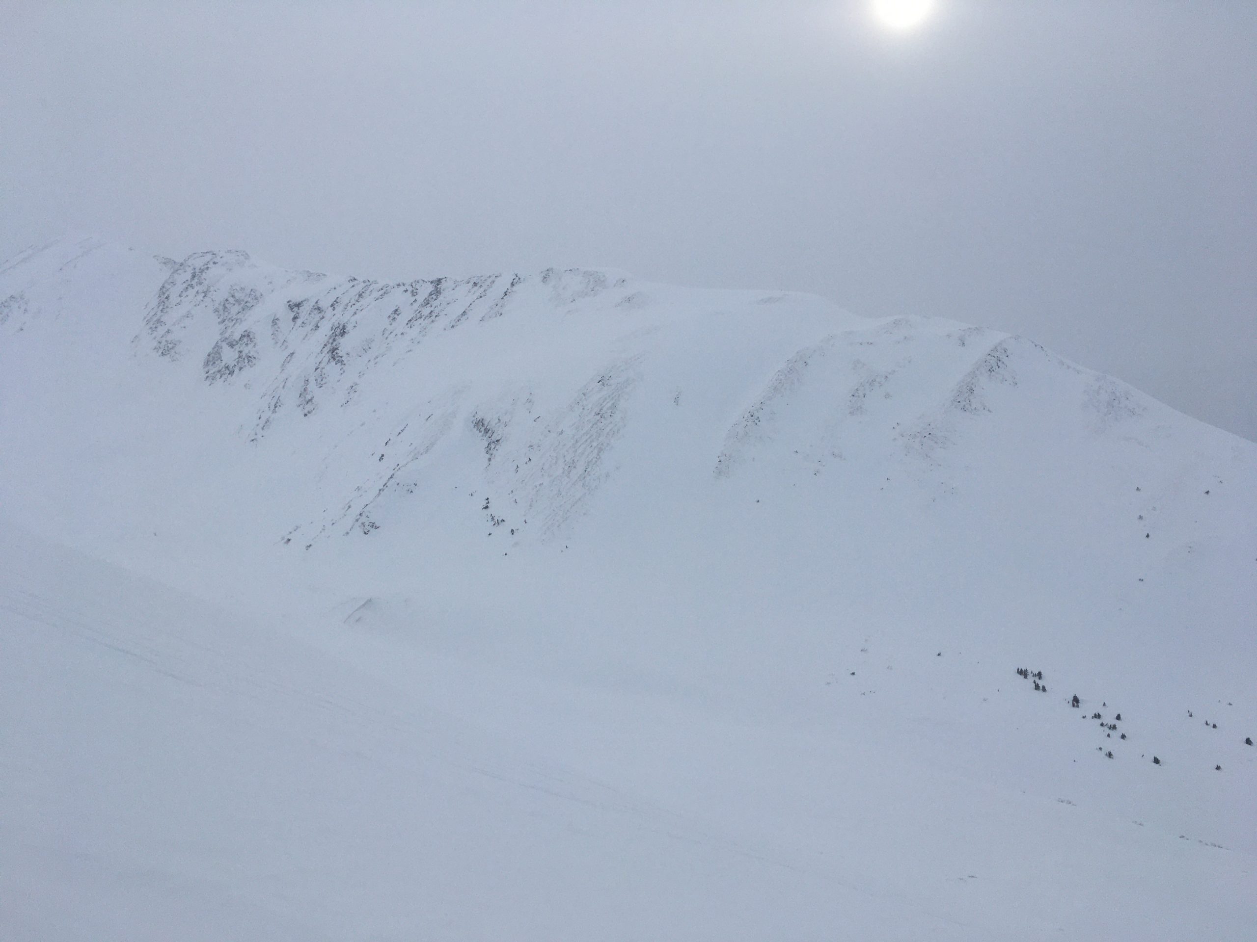
The avalanche danger is MODERATE today at all elevations.  It will be possible to trigger a wind slab 6-18″ deep. Watch for blowing snow and pay attention to surface conditions.  Additionally, a deep persistent slab problem 3-6′ thick is still a concern. Avoid travel on or underneath cornices and watch your sluff on steep protected slopes.

SUMMIT LAKE TO SEWARD REGION:  Strong wind last week impacted Summit Lake and Lost Lake, which resulted in several natural avalanches. Triggering a lingering wind slab is still possible and continued caution is advised on wind loaded slopes.

Special Announcements
Heading to Hatcher Pass or Chugach State Park? New snow continues to favor these areas – be sure to check out the recent avalanche observations. Hatcher Pass reported 15″ of snow in 15 hours yesterday with more last night!  Check the Hatcher Pass Avalanche Center forecast!
Sun, March 8th, 2020
Alpine
Above 2,500'
2 - Moderate
Avalanche risk
Treeline
1,000'-2,500'
2 - Moderate
Avalanche risk
Below Treeline
Below 1,000'
2 - Moderate
Avalanche risk
0 - No Rating
1 - Low
2 - Moderate
3 - Considerable
4 - High
5 - Extreme
Avalanche risk Avalanche risk Avalanche risk Avalanche risk Avalanche risk
Travel Advice Generally safe avalanche conditions. Watch for unstable snow on isolated terrain features. Heightened avalanche conditions on specific terrain features. Evaluate snow and terrain carefully; identify features of concern. Dangerous avalanche conditions. Careful snowpack evaluation, cautious route-finding, and conservative decision-making essential. Very dangerous avalanche conditions. Travel in avalanche terrain not recommended. Extraordinarily dangerous avalanche conditions. Avoid all avalanche terrain.
Likelihood of Avalanches Natural and human-triggered avalanches unlikely. Natural avalanches unlikely; human-triggered avalanches possible. Natural avalanches possible; human-triggered avalanches likely. Natural avalanches likely; human-triggered avalanches very likely. Natural and human-triggered avalanches certain.
Avalanche Size and Distribution Small avalanches in isolated areas or extreme terrain. Small avalanches in specific areas; or large avalanches in isolated areas. Small avalanches in many areas; or large avalanches in specific areas; or very large avalanches in isolated areas. Large avalanches in many areas; or very large avalanches in specific areas. Very large avalanches in many areas.
Avalanche Problem 1
  • Wind Slabs
    Wind Slabs
  • Certain
    Very Likely
    Likely
    Possible
    Unlikely
    Likelihood
  • Historic (D4-5)
    Very Large (D3)
    Large (D2)
    Small (D1)
    Size
Wind Slabs
Wind Slab avalanches are the release of a cohesive layer of snow (a slab) formed by the wind. Wind typically transports snow from the upwind sides of terrain features and deposits snow on the downwind side. Wind slabs are often smooth and rounded and sometimes sound hollow, and can range from soft to hard. Wind slabs that form over a persistent weak layer (surface hoar, depth hoar, or near-surface facets) may be termed Persistent Slabs or may develop into Persistent Slabs.

Likelihood of Avalanches
Terms such as "unlikely", "likely", and "certain" are used to define the scale, with the chance of triggering or observing avalanches increasing as we move up the scale. For our purposes, "Unlikely" means that few avalanches could be triggered in avalanche terrain and natural avalanches are not expected. "Certain" means that humans will be able to trigger avalanches on many slopes, and natural avalanches are expected.

Size of Avalanches
Avalanche size is defined by the largest potential avalanche, or expected range of sizes related to the problem in question. Assigned size is a qualitative estimate based on the destructive classification system and requires specialists to estimate the harm avalanches may cause to hypothetical objects located in the avalanche track (AAA 2016, CAA 2014). Under this schema, "Small" avalanches are not large enough to bury humans and are relatively harmless unless they carry people over cliffs or through trees or rocks. Moving up the scale, avalanches become "Large" enough to bury, injure, or kill people. "Very Large" avalanches may bury or destroy vehicles or houses, and "Historic" avalanches are massive events capable of altering the landscape.

Signal Word Size (D scale) Simple Descriptor
Small 1 Unlikely to bury a person
Large 2 Can bury a person
Very Large 3 Can destroy a house
Historic 4 & 5 Can destroy part or all of a village
More info at Avalanche.org

In the last two days temperatures have reached to the upper 20s °F with ridgetop winds in the 20s gusting into the 30s mph in many areas.  With loose snow available for transport and easterly winds forecast to be 15-25 mph with gusts into the 40s today, it will be important to look for new wind slabs forming on leeward slopes. In addition, on opposite aspects there could be old lingering wind slabs from the outflow winds of last week.  As one observer noted yesterday in an area hit by those winds that, “ridges were blown almost to dirt.”

On leap day, a layer of surface hoar was buried in some areas and could be sitting underneath the wind slabs. This weak snow could make them potentially more reactive and propagate farther than expected. Watch for blowing snow today and pay attention to surface conditions, being mindful if you feel a layer of stiffer snow over weaker snow. Shooting cracks should be an indicator to reconsider your decision or route.  Hand pits could be a quick way identify hardness differences and investigate this concern.

Recent wind scouring observed on Magnum from Sunburst.  3.7.2020 . Photo: Troy Tempel

Cornices:  Cornices are well developed throughout the region and may overhang much further than expected.  As always, avoid travel on or underneath cornices.

Avalanche Problem 2
  • Deep Persistent Slabs
    Deep Persistent Slabs
  • Certain
    Very Likely
    Likely
    Possible
    Unlikely
    Likelihood
  • Historic (D4-5)
    Very Large (D3)
    Large (D2)
    Small (D1)
    Size
Deep Persistent Slabs
Deep Persistent Slab avalanches are the release of a thick cohesive layer of hard snow (a slab), when the bond breaks between the slab and an underlying persistent weak layer deep in the snowpack. The most common persistent weak layers involved in deep, persistent slabs are depth hoar or facets surrounding a deeply buried crust. Deep Persistent Slabs are typically hard to trigger, are very destructive and dangerous due to the large mass of snow involved, and can persist for months once developed. They are often triggered from areas where the snow is shallow and weak, and are particularly difficult to forecast for and manage.

Likelihood of Avalanches
Terms such as "unlikely", "likely", and "certain" are used to define the scale, with the chance of triggering or observing avalanches increasing as we move up the scale. For our purposes, "Unlikely" means that few avalanches could be triggered in avalanche terrain and natural avalanches are not expected. "Certain" means that humans will be able to trigger avalanches on many slopes, and natural avalanches are expected.

Size of Avalanches
Avalanche size is defined by the largest potential avalanche, or expected range of sizes related to the problem in question. Assigned size is a qualitative estimate based on the destructive classification system and requires specialists to estimate the harm avalanches may cause to hypothetical objects located in the avalanche track (AAA 2016, CAA 2014). Under this schema, "Small" avalanches are not large enough to bury humans and are relatively harmless unless they carry people over cliffs or through trees or rocks. Moving up the scale, avalanches become "Large" enough to bury, injure, or kill people. "Very Large" avalanches may bury or destroy vehicles or houses, and "Historic" avalanches are massive events capable of altering the landscape.

Signal Word Size (D scale) Simple Descriptor
Small 1 Unlikely to bury a person
Large 2 Can bury a person
Very Large 3 Can destroy a house
Historic 4 & 5 Can destroy part or all of a village
More info at Avalanche.org

Weak faceted snow from January sits 3 to 6 feet deep in the snowpack. The wind slab triggered in Lynx Creek three days ago was a larger avalanche because it ‘stepped down’ into these old weak layers. With time the likelihood of triggering this deep slab is decreasing, but the problem still exists.  If you’re stepping out into new terrain, consider the consequences if a deep slab was triggered.  Is that within your risk tolerance?   As always, use good travel practices – travel one at a time on steeper slopes and spot your partners from outside of runout zones.

Loose snow avalanches:  In areas that were protected from the wind, sluffs are possible in steep terrain.

Weather
Sun, March 8th, 2020
Yesterday:  Partly cloudy to overcast skies with light to moderate ridgetop winds from the east at 5-15 mph.   Temperatures were in the 20s°F at most locations from sea level to ridgetops.

Today: Cloudy with a high near 28°F and lows in the upper teens °F. Winds will be from the east at 15 to 25 mph with gusts into the 30s and 40s. It’s possible to see new snow of 2-4″ throughout the day and into the evening.

Tomorrow: Mostly cloudy skies with a high near 24°F and lows in the single digits °F. Winds are expected to be 5-10 mph from the west and northwest.

PRECIPITATION 24-hour data (6am – 6am)

Temp Avg (F) Snow (in) Water (in) Snow Depth (in)
Center Ridge (1880′) 25 0 0 71
Summit Lake (1400′) 23 0 0 31
Alyeska Mid (1700′) 23* 2* 0.11* 80*

*The weather station at Alyeska stopped reporting at 1:00am

RIDGETOP 24-hour data (6am – 6am)

Temp Avg (F) Wind Dir Wind Avg (mph) Wind Gust (mph)
Sunburst (3812′) 16 E 9 30
Seattle Ridge (2400′) 19 SE 8 16
Observations
Recent Observations for Turnagain Pass
Date Region Location
04/16/24 Turnagain Observation: Cornbiscuit
04/15/24 Turnagain Observation: Taylor Pass
04/15/24 Turnagain Observation: Seward Highway – Tern Lake to Portage
04/14/24 Turnagain Observation: Sunburst
04/14/24 Turnagain Observation: Turnagain Pass Snomo
04/13/24 Turnagain Observation: Spokane Creek
04/11/24 Turnagain Observation: Tincan
04/10/24 Turnagain Avalanche: Seattle Ridge
04/10/24 Turnagain Observation: Cornbiscuit South Face
04/10/24 Turnagain Avalanche: Tincan
Riding Areas

The riding areas page has moved. Please click here & update your bookmarks.


Subscribe to Turnagain Pass
Avalanche Forecast by Email

This is a general backcountry avalanche advisory issued for Turnagain Arm with Turnagain Pass as the core advisory area. This advisory does not apply to highways, railroads or operating ski areas.