Turnagain Pass Avalanche Forecast
|
![]() ![]() |
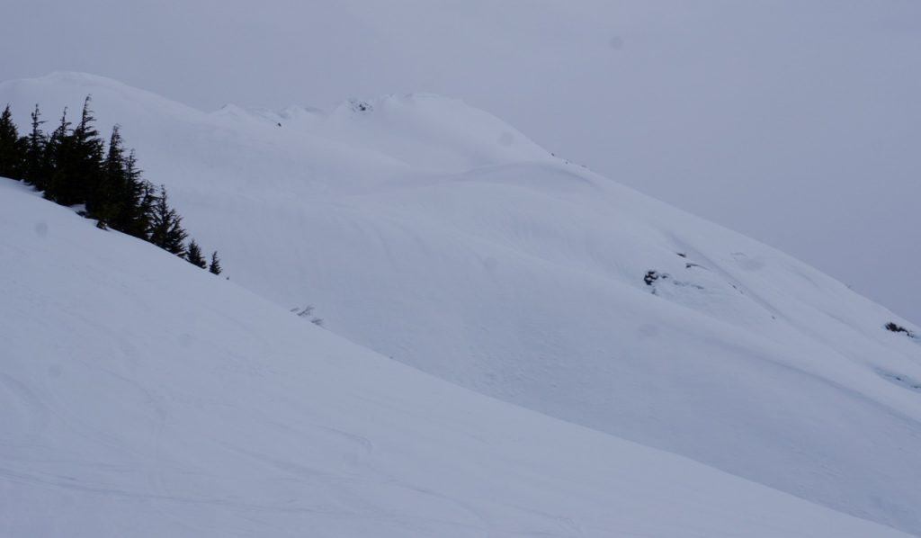
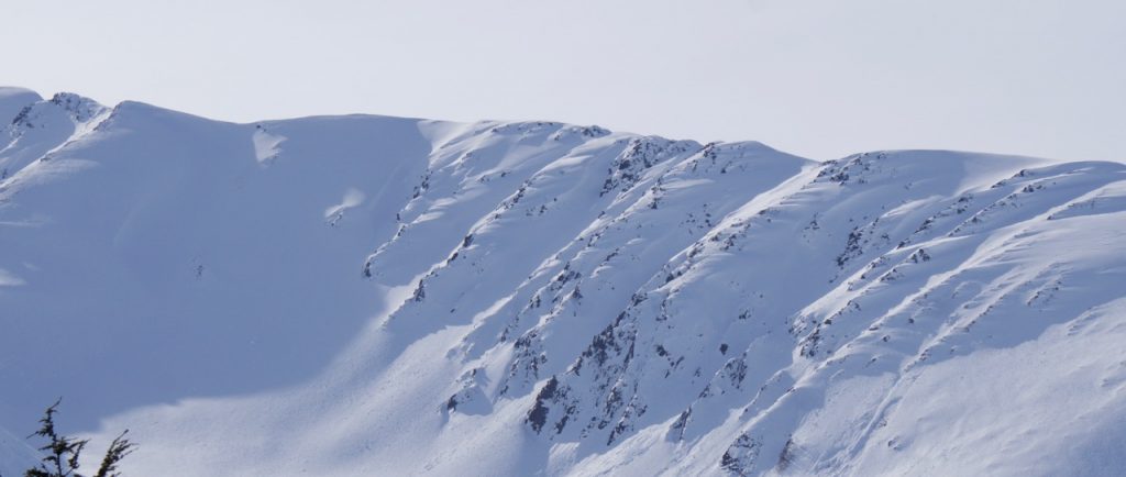
The avalanche danger remains MODERATE at all elevations. In the mid-elevations, glide avalanches continue to release sporadically and are creating a dangerous and unpredictable hazard. Limit any travel under glide cracks. Additionally, wet loose sluffs are possible on saturated steep slopes below 2,000′. In the Alpine, watch for areas with new wind-drifted snow where small wind slabs may be triggered on steep shaded slopes. And as always, give cornices a very wide berth.
GIRDWOOD VALLEY: Between 4-6″ of new snow has fallen in the higher elevations of Girdwood Valley. Wind slabs up to 10″ thick along with dry/moist sluffs could be found on steeper slopes in the Alpine.
PORTAGE VALLEY: Summer trails with avalanche terrain overhead, such as Byron Glacier Trail, are not recommended due to the possibility of an avalanche or cornice fall sending debris over the trail.
Signal Word | Size (D scale) | Simple Descriptor |
Small | 1 | Unlikely to bury a person |
Large | 2 | Can bury a person |
Very Large | 3 | Can destroy a house |
Historic | 4 & 5 | Can destroy part or all of a village |
Glide avalanches continue to be the most concerning avalanche problem for anyone traveling in avalanche terrain. Glide cracks litter the slopes and could release into an avalanche at anytime. Cracks are predominatly opening at elevations below 3,000′ and on E, S and W aspects. They are not triggered by people and are very unpredictable and destructive to anything in their path. The last known glide crack to release into an avalanche was Sunday morning, just south of Turnagain Pass near the Hope Wye cutoff. What we can do is keep our eyes open and limit/avoid traveling under cracks (example photo below). This may take some creative route planning in places, but it could be well worth it if a crack decides to release in your vicinity.
Glide cracks on Tincan under Common Bowl.
Signal Word | Size (D scale) | Simple Descriptor |
Small | 1 | Unlikely to bury a person |
Large | 2 | Can bury a person |
Very Large | 3 | Can destroy a house |
Historic | 4 & 5 | Can destroy part or all of a village |
It may be wet and raining down low, but it’s still relatively dry up high. Above 2,500′, anywhere from 1-6″ of new snow fell over the region yesterday (favoring Girdwood) which was added to the 3-6″ of new snow from over the weekend. Plug in moderate easterly ridgetop winds and we can expect 4-10″ thick wind slab on leeward facing slopes. Shaded aspects will be the most touchy as wind slabs are sitting on weak older snow (facets/buried surface hoar). One of these slabs was found on the North Chutes on Tincan Sunday (photo below). Keep a lookout for wind deposited snow, fresh drifts and watch for cracking around your skis/board or machine. Even a small wind slab can be a problem in steep rocky terrain.
Small, shallow skier triggered wind slab on one of Tincan’s north facing chutes on Sunday. (Photo Adam Baxter)
CORNICES: Cornices remain very large along some ridgelines in the Alpine. These cornices can break suddenly and pull back onto flat ground above a slope. Give them a wide berth and avoid travel directly below them.
Todd’s Bowl and the North facing Chutes of Tincan at Turnagain Pass. Winter remains at these higher elevations.
Yesterday: Cloudy skies with light rain fell up to 2,000′ over the region. Girdwood picked up just under 1/2 an inch of rain, while Turnagain Pass saw around a tenth of an inch in the past 24-hours; this equates to 4-6″ of snow above 2,500′ and 1-2″ respectively. Ridgetop winds have been moderate, averaging 10-20mph with gusts near 40mph from the east. Temperatures climbed to the upper 20’sF at 4,000′ and the mid 40’sF at 1,000′ before dropping to the mid 20’sF at 4,000′ and the mid 30’sF at 1,000′.
Today: Mostly cloudy skies, with a few breaks in cloud cover, are in store today as a weak low pressure spins in the Eastern Gulf. A few raindrops may fall up to 2,000′ with flurries above this in favored areas. No measureable precipitation is expected. Ridgetop winds should remain moderate from the east in the 10-20mph range with gusts into the 30’s at times. Temperatures will be on a slow decline as cooler air moves in and highs near 40F are expected at 1,000′, while ridgetops remain in the mid 20’sF.
Tomorrow: A brief break between systems should bring partly cloudy skies, mild temperatures and light easterly winds for Wednesday. A powerful front is forecast to hit the region Thursday bringing heavy rain, 4-10″ of snow above 2,000′ and 50-70mph winds. Stay tuned!
Temp Avg (F) | Snow (in) | Water (in) | Snow Depth (in) | |
Center Ridge (1880′) | 37 | rain | 0.1 | 63 |
Summit Lake (1400′) | 37 | 0 | 0 | 19 |
Alyeska Mid (1700′) | 35 | 0.5 | 0.42 | 57 |
Temp Avg (F) | Wind Dir | Wind Avg (mph) | Wind Gust (mph) | |
Sunburst (3812′) | 27 | NE | 14 | 39 |
Seattle Ridge (2400′) | 31 | SE | 11 | 20 |
Date | Region | Location | Observer |
---|---|---|---|
05/22/23 | Turnagain | Avalanche: Tincan | Nick D'Alessio |
05/12/23 | Turnagain | Avalanche: Tincan, Sunburst, Magnum, Cornbiscuit | Heather Thamm |
05/07/23 | Turnagain | Observation: Tincan – Bear Tracks | CNFAIC Staff |
05/05/23 | Turnagain | Observation: Seattle Ridge | AS/ WW Forecaster |
05/02/23 | Turnagain | Observation: Cornbiscuit | Schauer/ Sturgess Forecaster |
05/02/23 | Turnagain | Observation: Seward Hwy Turnagain Pass | Joel Curtis |
04/30/23 | Turnagain | Observation: Magnum | Ayla, Kit Crosby, Barton |
04/29/23 | Turnagain | Observation: Tincan | John Sykes |
04/28/23 | Turnagain | Avalanche: Taylor Pass/Pastoral | Schauer/ Creighton Forecaster |
04/28/23 | Turnagain | Avalanche: Tincan | Andy Moderow |
Status of riding areas across the Chugach NF is managed by the Glacier and Seward Ranger Districts, not avalanche center staff. Riding area information is posted as a public service to our users and updated based on snow depth and snow density to prevent resource damage at trailhead locations. Riding area questions contact: mailroom_r10_chugach@fs.fed.us
Area | Status | Weather & Riding Conditions |
---|---|---|
Glacier District |
Subscribe to Turnagain Pass
Avalanche Forecast by Email
This is a general backcountry avalanche advisory issued for Turnagain Arm with Turnagain Pass as the core advisory area. This advisory does not apply to highways, railroads or operating ski areas.