Turnagain Pass RSS

Archives
ARCHIVED - Forecasts expire after 24 hours.
Issued
Mon, April 8th, 2019 - 7:00AM
Expires
Tue, April 9th, 2019 - 7:00AM
Forecaster
CNFAIC Staff
Avalanche risk The Bottom Line

The avalanche danger remains  MODERATE  today at all elevations.  Glide cracks have been releasing into avalanches in many popular recreating areas and pose a hazard to anyone traveling under glide cracks.  Additionally, due to recent rain/snow triggering a wet loose avalanche on solar aspects or a shallow wind slab on shaded, steep, leeward features in the Alpine  will remain possible.  Avoid traveling under glide cracks  and give cornices a wide berth.  

PORTAGE VALLEY:  Summer trails with avalanche terrain overhead, such as Byron Glacier Trail, are not recommended due to the possibility of an avalanche or cornice fall sending debris over the trail.
Special Announcements
Mon, April 8th, 2019
Alpine
Above 2,500'
2 - Moderate
Avalanche risk
Treeline
1,000'-2,500'
2 - Moderate
Avalanche risk
Below Treeline
Below 1,000'
2 - Moderate
Avalanche risk
0 - No Rating
1 - Low
2 - Moderate
3 - Considerable
4 - High
5 - Extreme
Avalanche risk Avalanche risk Avalanche risk Avalanche risk Avalanche risk
Travel Advice Generally safe avalanche conditions. Watch for unstable snow on isolated terrain features. Heightened avalanche conditions on specific terrain features. Evaluate snow and terrain carefully; identify features of concern. Dangerous avalanche conditions. Careful snowpack evaluation, cautious route-finding, and conservative decision-making essential. Very dangerous avalanche conditions. Travel in avalanche terrain not recommended. Extraordinarily dangerous avalanche conditions. Avoid all avalanche terrain.
Likelihood of Avalanches Natural and human-triggered avalanches unlikely. Natural avalanches unlikely; human-triggered avalanches possible. Natural avalanches possible; human-triggered avalanches likely. Natural avalanches likely; human-triggered avalanches very likely. Natural and human-triggered avalanches certain.
Avalanche Size and Distribution Small avalanches in isolated areas or extreme terrain. Small avalanches in specific areas; or large avalanches in isolated areas. Small avalanches in many areas; or large avalanches in specific areas; or very large avalanches in isolated areas. Large avalanches in many areas; or very large avalanches in specific areas. Very large avalanches in many areas.
Avalanche Problem 1
  • Glide Avalanches
    Glide Avalanches
  • Certain
    Very Likely
    Likely
    Possible
    Unlikely
    Likelihood
  • Historic (D4-5)
    Very Large (D3)
    Large (D2)
    Small (D1)
    Size
Glide Avalanches
Glide Avalanches are the release of the entire snow cover as a result of gliding over the ground. Glide avalanches can be composed of wet, moist, or almost entirely dry snow. They typically occur in very specific paths, where the slope is steep enough and the ground surface is relatively smooth. They are often proceeded by full depth cracks (glide cracks), though the time between the appearance of a crack and an avalanche can vary between seconds and months. Glide avalanches are unlikely to be triggered by a person, are nearly impossible to forecast, and thus pose a hazard that is extremely difficult to manage.

Likelihood of Avalanches
Terms such as "unlikely", "likely", and "certain" are used to define the scale, with the chance of triggering or observing avalanches increasing as we move up the scale. For our purposes, "Unlikely" means that few avalanches could be triggered in avalanche terrain and natural avalanches are not expected. "Certain" means that humans will be able to trigger avalanches on many slopes, and natural avalanches are expected.

Size of Avalanches
Avalanche size is defined by the largest potential avalanche, or expected range of sizes related to the problem in question. Assigned size is a qualitative estimate based on the destructive classification system and requires specialists to estimate the harm avalanches may cause to hypothetical objects located in the avalanche track (AAA 2016, CAA 2014). Under this schema, "Small" avalanches are not large enough to bury humans and are relatively harmless unless they carry people over cliffs or through trees or rocks. Moving up the scale, avalanches become "Large" enough to bury, injure, or kill people. "Very Large" avalanches may bury or destroy vehicles or houses, and "Historic" avalanches are massive events capable of altering the landscape.

Signal Word Size (D scale) Simple Descriptor
Small 1 Unlikely to bury a person
Large 2 Can bury a person
Very Large 3 Can destroy a house
Historic 4 & 5 Can destroy part or all of a village
More info at Avalanche.org

A large glide avalanche was observed east of the Hope Wye yesterday morning and glide cracks have been appearing, opening and releasing across our region over the last two weeks. This is the entire snowpack gliding downhill and spontaneously releasing. So far all of this activity has occurred on East, South, and West facing slopes below 3000’. This past week Turnagain Pass has been the most active. Glide avalanches are not associated with a human trigger and release without warning. The best way to manage this problem is avoidance. Identify existing cracks and plan your route to avoid being under a glide. Many cracks are opening in popular terrain and may require an unusual route to avoid their runout. This is a case of ‘don’t be caught in the wrong place at the wrong time’.

Recent glide avalanche observed in the morning, 4-7-19

 Closer view of the recent glide next to an older release, 4-7-19. 

Avalanche Problem 2
  • Wet Loose
    Wet Loose
  • Certain
    Very Likely
    Likely
    Possible
    Unlikely
    Likelihood
  • Historic (D4-5)
    Very Large (D3)
    Large (D2)
    Small (D1)
    Size
Wet Loose
Wet Loose avalanches are the release of wet unconsolidated snow or slush. These avalanches typically occur within layers of wet snow near the surface of the snowpack, but they may quickly gouge into lower snowpack layers. Like Loose Dry Avalanches, they start at a point and entrain snow as they move downhill, forming a fan-shaped avalanche. Other names for loose-wet avalanches include point-release avalanches or sluffs. Loose Wet avalanches can trigger slab avalanches that break into deeper snow layers.

Likelihood of Avalanches
Terms such as "unlikely", "likely", and "certain" are used to define the scale, with the chance of triggering or observing avalanches increasing as we move up the scale. For our purposes, "Unlikely" means that few avalanches could be triggered in avalanche terrain and natural avalanches are not expected. "Certain" means that humans will be able to trigger avalanches on many slopes, and natural avalanches are expected.

Size of Avalanches
Avalanche size is defined by the largest potential avalanche, or expected range of sizes related to the problem in question. Assigned size is a qualitative estimate based on the destructive classification system and requires specialists to estimate the harm avalanches may cause to hypothetical objects located in the avalanche track (AAA 2016, CAA 2014). Under this schema, "Small" avalanches are not large enough to bury humans and are relatively harmless unless they carry people over cliffs or through trees or rocks. Moving up the scale, avalanches become "Large" enough to bury, injure, or kill people. "Very Large" avalanches may bury or destroy vehicles or houses, and "Historic" avalanches are massive events capable of altering the landscape.

Signal Word Size (D scale) Simple Descriptor
Small 1 Unlikely to bury a person
Large 2 Can bury a person
Very Large 3 Can destroy a house
Historic 4 & 5 Can destroy part or all of a village
More info at Avalanche.org
Yesterday brought broken skies, some on and off very light rain/snow and warm temperatures in mid 40Fs at 1000′, and 30Fs in the Alpine. With overnight cloud cover, the snowpack did not get a chance to freeze leaving a deteriorating crust and wet/moist snow on the surface of solar aspects. Triggering a wet loose avalanche will be possible with today’s continued weather pattern of light rain and snow across the region, warm temperatures and a chance of sunshine. Pay close attention to the surface conditions, roller balls and wet snow sluffs above 2500′. At lower elevations monitor the crust as it becomes punchy and unsupportable.
 
WIND SLAB: Keeping in mind the few soft inches of snow that fell over the weekend (3-6″) was blown onto leeward slopes and there is still snow available for transport on shaded aspects in the Alpine. Yesterday observers noted that the new snow was not bonding well to the small facets and surface hoar found at the new/old interface on the shaded aspects and shallow skier triggered wind slabs were reported. With easterly winds today between 10-25 mph, gusting up to 40mph, triggering a small shallow wind slab in steep leeward terrain features remains possible. Watch for cracking and look for pillowed snow along ridgelines. Be cautious of fresh drifts. 
 
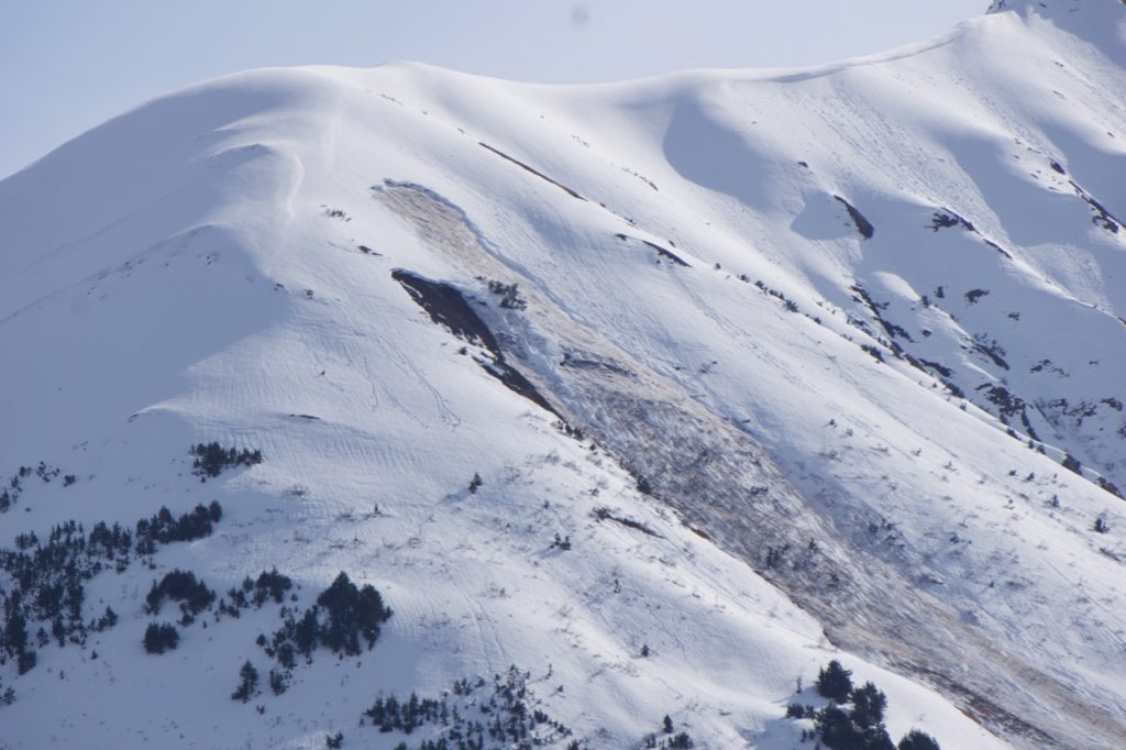
CORNICES: Cornices remain very large along some ridgelines in the Alpine. These cornices can break suddenly and pull back onto flat ground above a slope. Give them a wide berth and avoid travel directly below them.
 
South of Turnagain in Summit Lake and areas in the interior Kenai Peninsula still posses a variety of old weak layers within the snow pack. Be aware of a variety of avalanche conditions ranging from small isolated wind slabs to wet loose. Triggering a persistent slab 2-3′ deep is becoming an outlier at this point, but the poor snowpack structure is worth noting if headed to Summit. 
 
 
New snow sliding easily off on small facets and surface hoar at the old snow interface, 4-7-19.
 
Weather
Mon, April 8th, 2019

Yesterday:    Broken skies with very light rain/snow showers on and off throughout the day. Rain/snowline was around 2500′. Winds were easterly 5-15 mph gusting into the 20s. Temperatures were in the 40Fs at lower elevations and the 30Fs to high 20Fs at upper elevations. Overnight skies were mostly cloudy and temperatures were in the 40Fs to high 20Fs depending on elevation. Easterly winds bumped up slightly gusting into the 30s.  

Today:   Mostly cloudy skies with rain and snow likely throughout the day and the rain/snowline near 2500′, with an overall accumulation up to a couple of inches of snow in the upper elevations. Temperatures will be in the 40Fs at sea level, and in the 30Fs in the upper elevations. Winds will be easterly between 10-25mph, gusting into the 40s.

Tomorrow:   Similar weather is forecast as the series of low-pressure systems continue to move through the advisory area bringing more rain/snow showers, warm temperatures and gusty easterly winds. This pattern looks to continue throughout the upcoming week.  

 PRECIPITATION 24-hour data (6am – 6am)

  Temp Avg (F) Snow (in) Water (in) Snow Depth (in)
Center Ridge (1880′) 38   0   0   63  
Summit Lake (1400′)  39     0    0      19    
Alyeska Mid (1700′)   38      0.06     0    57  

RIDGETOP 24-hour data (6am – 6am)

  Temp Avg (F) Wind Dir Wind Avg (mph) Wind Gust (mph)
Sunburst (3812′)  29 NE   11   38  
Seattle Ridge (2400′)  33 E   4   21  
Observations
Recent Observations for Turnagain Pass
Date Region Location
03/27/24 Turnagain Observation: Tincan Trees
03/26/24 Turnagain Observation: Cornbiscuit
03/25/24 Turnagain Observation: Tincan
03/22/24 Turnagain Avalanche: Magnum Northwest Aspect
03/21/24 Turnagain Observation: Sunburst
03/21/24 Turnagain Observation: Tincan Proper North Aspect
03/20/24 Turnagain Avalanche: Seattle Creek Drainage
03/19/24 Turnagain Observation: Tincan CFR
03/18/24 Turnagain Avalanche: Tincan – Eddies – Seattle Ridge
03/18/24 Turnagain Observation: Tincan
Riding Areas

The riding areas page has moved. Please click here & update your bookmarks.


Subscribe to Turnagain Pass
Avalanche Forecast by Email

This is a general backcountry avalanche advisory issued for Turnagain Arm with Turnagain Pass as the core advisory area. This advisory does not apply to highways, railroads or operating ski areas.