Turnagain Pass RSS

Archives
ARCHIVED - Forecasts expire after 24 hours.
Issued
Sun, January 24th, 2016 - 7:00AM
Expires
Mon, January 25th, 2016 - 7:00AM
Forecaster
Heather Thamm
Avalanche risk The Bottom Line

Today a CONSIDERABLE avalanche danger exists in the Alpine and at Treeline where triggering a fresh windslab 8 €-20 € thick will be likely on steep wind loaded features. Careful snowpack evaluation and cautious routefinding will be essential in areas that have experienced active windloading. Be on the look out for shooting cracks and avoid steep wind-loaded features where trigging even a small slab could have high consequences. In addition pay attention for slopes with glide cracks and do your best to avoid this unpredictable hazard.

A LOW avalanche danger exists below 1000′ where triggering an avalanche is unlikely.

If you are thinking of going to Summit Lake, be aware that different avalanche hazards exist within the snowpack. Click HERE to read the most current Summit Lake Summary.  

Special Announcements

Monday, January 25th, 7-8 pm:  Come to the Blue and Gold Board Shop for a FREE Avalanche Awareness class taught by CNFAIC forecaster Heather Thamm. For more details click here:  HERE.  Know Before You Go!

Sun, January 24th, 2016
Alpine
Above 2,500'
3 - Considerable
Avalanche risk
Treeline
1,000'-2,500'
3 - Considerable
Avalanche risk
Below Treeline
Below 1,000'
1 - Low
Avalanche risk
0 - No Rating
1 - Low
2 - Moderate
3 - Considerable
4 - High
5 - Extreme
Avalanche risk Avalanche risk Avalanche risk Avalanche risk Avalanche risk
Travel Advice Generally safe avalanche conditions. Watch for unstable snow on isolated terrain features. Heightened avalanche conditions on specific terrain features. Evaluate snow and terrain carefully; identify features of concern. Dangerous avalanche conditions. Careful snowpack evaluation, cautious route-finding, and conservative decision-making essential. Very dangerous avalanche conditions. Travel in avalanche terrain not recommended. Extraordinarily dangerous avalanche conditions. Avoid all avalanche terrain.
Likelihood of Avalanches Natural and human-triggered avalanches unlikely. Natural avalanches unlikely; human-triggered avalanches possible. Natural avalanches possible; human-triggered avalanches likely. Natural avalanches likely; human-triggered avalanches very likely. Natural and human-triggered avalanches certain.
Avalanche Size and Distribution Small avalanches in isolated areas or extreme terrain. Small avalanches in specific areas; or large avalanches in isolated areas. Small avalanches in many areas; or large avalanches in specific areas; or very large avalanches in isolated areas. Large avalanches in many areas; or very large avalanches in specific areas. Very large avalanches in many areas.
Avalanche Problem 1
  • Wind Slabs
    Wind Slabs
Wind Slabs
Wind Slab avalanches are the release of a cohesive layer of snow (a slab) formed by the wind. Wind typically transports snow from the upwind sides of terrain features and deposits snow on the downwind side. Wind slabs are often smooth and rounded and sometimes sound hollow, and can range from soft to hard. Wind slabs that form over a persistent weak layer (surface hoar, depth hoar, or near-surface facets) may be termed Persistent Slabs or may develop into Persistent Slabs.
More info at Avalanche.org

Yesterday afternoon Easterly ridgetop winds suddenly increased into the 20’s mph with gusts in the 40’s mph creating 6” tender wind slabs. A small natural avalanche was observed on a Northwest aspect on Superbowl, near Corn Bicuit, and shortly after a skier triggered a wind slab on a steep convexity at 2300’ in this zone. Overnight another 6” of snow fell and strong Easterly winds continued. Today winds and precipitation are expected to decrease, before another burst of wind and snow arrive late this afternoon/early evening.

Today wind slabs 8”-20” will be easily triggered on wind loaded terrain features such as below ridgetops and on convex rollovers. These slabs will be more developed on Western aspects (Southwestern – Western – Northwestern.) Areas such as the Western facing bowls of Seattle Ridge will be suspect in the mid elevation band (below 2500’.) Pay attention for cross-loading on all other aspects.

Managing this hazard will be possible by choosing low angle terrain and sticking to routes that are scoured and wind eroded. Be on the lookout for denser snow on top of weaker snow below; shooting cracks will be an instant sign that this snow is tender. Both hard and soft wind slabs could be present today, and both have the potential to fracture above you. Luckily this is a surface instability issue, meaning these slabs will be isolated to wind loaded zones, and triggering an older deeper layer below is unlikely. However that being said these slabs are expected to be touchy and even a small isolated slab in the wrong place can have high consequences. 

Debris from a skier triggered slab on Superbowl, Northwest aspect, near Corn Biscuit yesterday afternoon. This fresh wind slab was 6″ deep, 40′ wide and ran approximately 150′. 


Alaska Avalanche School Level 2 class dug a pit in an area where they observed a 20′ shooting crack near Common bowl on Tincan. Click HERE for observation. 


Avalanche Problem 2
  • Glide Avalanches
    Glide Avalanches
Glide Avalanches
Glide Avalanches are the release of the entire snow cover as a result of gliding over the ground. Glide avalanches can be composed of wet, moist, or almost entirely dry snow. They typically occur in very specific paths, where the slope is steep enough and the ground surface is relatively smooth. They are often proceeded by full depth cracks (glide cracks), though the time between the appearance of a crack and an avalanche can vary between seconds and months. Glide avalanches are unlikely to be triggered by a person, are nearly impossible to forecast, and thus pose a hazard that is extremely difficult to manage.
More info at Avalanche.org

Glides continue to slowly open and every once in a while one will release. There is no discernable pattern to predict their failure as they tend to fail naturally and on their own schedule. Warm temperatures can trigger them and so can cooling temperatures. A new glide avalanche was seen on East Seattle Ridge yesterday at (~1300) and one released on Sharks Fin (South facing ~2,000′) mid week. Since glide cracks can spontaneously release at any time, it is best to avoid, or do your best to limit time under them. With questionable visibility again today, it may be difficult to identify glide cracks. 

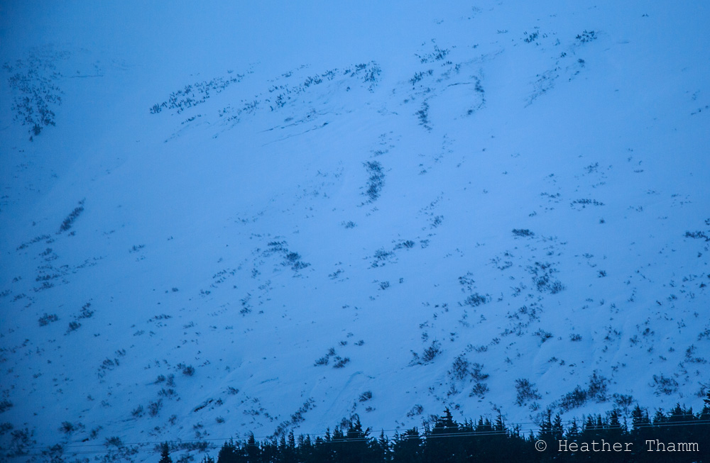
Small glide release seen yesterday along Seattle Ridge at ~1300′. Timing of release is unknown. Many large glide cracks can still be seen all along Seattle Ridge East face.

Weather
Sun, January 24th, 2016

Yesterday scatted snow flurries moved through Turnagain Pass and light rain fell below 1000′ in Girdwood. Winds picked up around 3pm and increased into the 30’s mph with gusts in the 60’s by early evening. Overnight 6 € of snow was recorded at Center Ridge Weather station combined with strong winds.

Today winds are expected to decrease to 15-30mph through early afternoon before another burst of moisture and strong winds arrive early this evening. Expect a few inches of new snow above 1500′, and light rain at lower elevations due to warmer temperatures.

Overnight another 6-10 € of snow combined with strong Easterly winds is expected in the Alpine. Rain/snow   line is expected to remain around 1500′

PRECIPITATION 24-hour data (6am – 6am)

  Temp Avg (F) Snow (in) Water (in) Snow Depth (in)
Center Ridge (1880′) 30   6   0.4   89  
Summit Lake (1400′) 32   0    0 26  
Alyeska Mid (1700′) 32   5   .53   73  

RIDGETOP 24-hour data (6am – 6am)

  Temp Avg (F) Wind Dir Wind Avg (mph) Wind Gust (mph)
Sunburst (3812′) 23   NE   23   63  
Seattle Ridge (2400′) 26    n/a    n/a  n/a  
Observations
Recent Observations for Turnagain Pass
Date Region Location
10/27/24 Turnagain Observation: Tincan
10/21/24 Turnagain Observation: Turnagain Pass Road Observation
10/19/24 Turnagain Observation: Tincan – Below Todds Run
10/18/24 Turnagain Observation: Taylor Pass
10/15/24 Turnagain Observation: Tincan Common
10/14/24 Turnagain Avalanche: Tincan
05/13/24 Turnagain Observation: Eddie’s, Sunburst, Seattle, Cornbiscuit, Pete’s South
05/13/24 Turnagain Observation: Turnagain Pass non-motorized side
05/12/24 Turnagain Observation: Warm up Bowl
05/07/24 Turnagain Observation: Turnagain Pass Wet Slabs
Riding Areas

The riding areas page has moved. Please click here & update your bookmarks.


Subscribe to Turnagain Pass
Avalanche Forecast by Email

This is a general backcountry avalanche advisory issued for Turnagain Arm with Turnagain Pass as the core advisory area. This advisory does not apply to highways, railroads or operating ski areas.