Turnagain Pass RSS

Archives
ARCHIVED - Forecasts expire after 24 hours.
Issued
Mon, December 30th, 2019 - 7:00AM
Expires
Tue, December 31st, 2019 - 7:00AM
Forecaster
Aleph Johnston-Bloom
Avalanche risk The Bottom Line

The avalanche danger is CONSIDERABLE above 1000′ due to new snow, rising temperatures and strong winds in the past 24 hours. Human triggered slab avalanches 1-3′ thick are likely today and may be triggered remotely. Dangerous avalanche conditions warrant very careful terrain selection.

*Low elevations: There is a chance an avalanche from above could send debris below 1,000′.

Special Announcements

Strong winds were reported in Chugach State Park yesterday. Expect increased avalanche hazard with touchy wind slabs today.

If you are heading to Hatcher Pass, please check hpavalanche.org and their Facebook page.

Mon, December 30th, 2019
Alpine
Above 2,500'
3 - Considerable
Avalanche risk
Treeline
1,000'-2,500'
3 - Considerable
Avalanche risk
Below Treeline
Below 1,000'
2 - Moderate
Avalanche risk
0 - No Rating
1 - Low
2 - Moderate
3 - Considerable
4 - High
5 - Extreme
Avalanche risk Avalanche risk Avalanche risk Avalanche risk Avalanche risk
Travel Advice Generally safe avalanche conditions. Watch for unstable snow on isolated terrain features. Heightened avalanche conditions on specific terrain features. Evaluate snow and terrain carefully; identify features of concern. Dangerous avalanche conditions. Careful snowpack evaluation, cautious route-finding, and conservative decision-making essential. Very dangerous avalanche conditions. Travel in avalanche terrain not recommended. Extraordinarily dangerous avalanche conditions. Avoid all avalanche terrain.
Likelihood of Avalanches Natural and human-triggered avalanches unlikely. Natural avalanches unlikely; human-triggered avalanches possible. Natural avalanches possible; human-triggered avalanches likely. Natural avalanches likely; human-triggered avalanches very likely. Natural and human-triggered avalanches certain.
Avalanche Size and Distribution Small avalanches in isolated areas or extreme terrain. Small avalanches in specific areas; or large avalanches in isolated areas. Small avalanches in many areas; or large avalanches in specific areas; or very large avalanches in isolated areas. Large avalanches in many areas; or very large avalanches in specific areas. Very large avalanches in many areas.
Avalanche Problem 1
  • Storm Slabs
    Storm Slabs
  • Certain
    Very Likely
    Likely
    Possible
    Unlikely
    Likelihood
  • Historic (D4-5)
    Very Large (D3)
    Large (D2)
    Small (D1)
    Size
Storm Slabs
Storm Slab avalanches are the release of a cohesive layer (a slab) of new snow that breaks within new snow or on the old snow surface. Storm-slabs typically last between a few hours and few days (following snowfall). Storm-slabs that form over a persistent weak layer (surface hoar, depth hoar, or near-surface facets) may be termed Persistent Slabs or may develop into Persistent Slabs.

Likelihood of Avalanches
Terms such as "unlikely", "likely", and "certain" are used to define the scale, with the chance of triggering or observing avalanches increasing as we move up the scale. For our purposes, "Unlikely" means that few avalanches could be triggered in avalanche terrain and natural avalanches are not expected. "Certain" means that humans will be able to trigger avalanches on many slopes, and natural avalanches are expected.

Size of Avalanches
Avalanche size is defined by the largest potential avalanche, or expected range of sizes related to the problem in question. Assigned size is a qualitative estimate based on the destructive classification system and requires specialists to estimate the harm avalanches may cause to hypothetical objects located in the avalanche track (AAA 2016, CAA 2014). Under this schema, "Small" avalanches are not large enough to bury humans and are relatively harmless unless they carry people over cliffs or through trees or rocks. Moving up the scale, avalanches become "Large" enough to bury, injure, or kill people. "Very Large" avalanches may bury or destroy vehicles or houses, and "Historic" avalanches are massive events capable of altering the landscape.

Signal Word Size (D scale) Simple Descriptor
Small 1 Unlikely to bury a person
Large 2 Can bury a person
Very Large 3 Can destroy a house
Historic 4 & 5 Can destroy part or all of a village
More info at Avalanche.org

Today is a day for very careful travel if you venture into the mountains. Human triggered storm slab and wind slab avalanches are likely. A mindset shift from the enjoying the fun, fluffy snow of the past few days is in order. Today the snowpack is definitely guilty until proven innocent. Even small steep slopes in the Tincan trees should be approached with caution. Yesterday was an active weather day with 1-2′ of snow falling in the mountains. Temperatures rose throughout the day creating an upside down snowpack situation as heavier snow fell on lighter snow. Easterly winds were strong and sustained gusting into the 80s and 90s for much of the day and late into the night. Observers reported cracking in the snow, triggering small avalanches and there were natural avalanches observed in Girdwood Valley. We have all the ingredients for unstable snow today. With the Solstice buried surface hoar finally having a slab over it there is also a chance avalanches may be triggered remotely. Pay attention to the terrain you are connected to as well what you are on. Look for recent avalanches, shooting cracks, drifted snow and be especially suspect of wind loaded slopes. Listen for whumpfs and hollow sounding snow. Be mindful of other groups above or below you.

Cornices:  Wet snow and strong winds are the architects of cornice building. Expect cornice falls to be easy to trigger. Remember cornices can fail much farther back than expected.

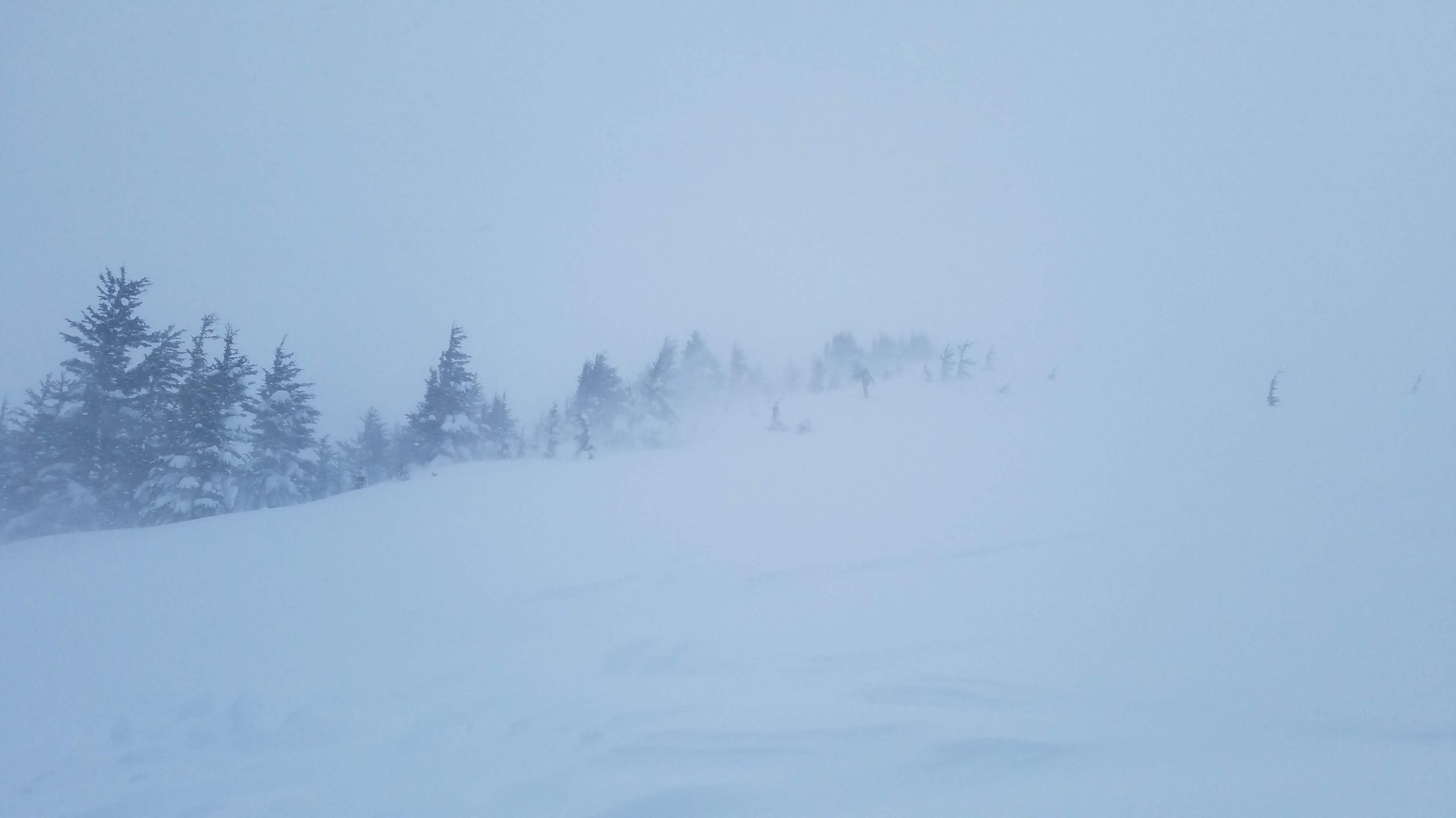
Winds increasing around 11:30 am yesterday on Eddies, 12.29.19. Photo: Kakiko Ramos-Leon.

Skiers reported cracking in the snow, 12.29.19. Photo: Andy Moderow.


Weather
Mon, December 30th, 2019

Yesterday: Obscured skies with steady precipitation throughout the day and overnight. The mountains picked up over a foot of snow (1-1.5″ of water) with rain/snow line around 500′. Temperatures rose to the mid 30°Fs at sea level and low to mid 20°Fs at ridgetops. Winds were easterly and sustained 20-40 mph with gusts in the 80s and 90s (Sunburst hit 107). Winds and precipitation eased early this morning.

Today: Cloudy skies and light snow/rain showers. Rain/snow line is forecast to be around 900′ with temperatures in the high 20°Fs to low 30°Fs at ridgetops and high 30°Fs at sea level. Winds will be southerly 5-15 mph with gusts into the 20s. Temperatures will rise overnight and rain/snowline will creep up to 1500′. Winds will shift to the east and increase.

Tomorrow: Rain and snow are likely with temperatures at sea level around 40°F and high 20°Fs to low 30°Fs at ridgetops. Precipitation could be heavy at times. Winds will be easterly and moderate to strong as the next storm impacts the area. Temperatures look to decrease overnight welcoming 2020 with snow!

PRECIPITATION 24-hour data (6am – 6am)

Temp Avg (F) Snow (in) Water (in) Snow Depth (in)
Center Ridge (1880′) 31 5 0.8 41
Summit Lake (1400′) 32 2 0.2 13
Alyeska Mid (1700′) 30 14 1.16 39

RIDGETOP 24-hour data (6am – 6am)

Temp Avg (F) Wind Dir Wind Avg (mph) Wind Gust (mph)
Sunburst (3812′) 20 NE 39 107
Seattle Ridge (2400′) 24 SE 17 44
Observations
Recent Observations for Turnagain Pass
Date Region Location
03/28/24 Turnagain Observation: Sunburst
03/27/24 Turnagain Observation: Tincan Trees
03/26/24 Turnagain Observation: Cornbiscuit
03/25/24 Turnagain Observation: Tincan
03/22/24 Turnagain Avalanche: Magnum Northwest Aspect
03/21/24 Turnagain Observation: Sunburst
03/21/24 Turnagain Observation: Tincan Proper North Aspect
03/20/24 Turnagain Avalanche: Seattle Creek Drainage
03/19/24 Turnagain Observation: Tincan CFR
03/18/24 Turnagain Avalanche: Tincan – Eddies – Seattle Ridge
Riding Areas

The riding areas page has moved. Please click here & update your bookmarks.


Subscribe to Turnagain Pass
Avalanche Forecast by Email

This is a general backcountry avalanche advisory issued for Turnagain Arm with Turnagain Pass as the core advisory area. This advisory does not apply to highways, railroads or operating ski areas.