Turnagain Pass Avalanche Forecast
|
![]() ![]() |
Today above 1,000′ the avalanche danger is MODERATE where steep windloaded slopes are the most likely places for humans to find and trigger an avalanche. These wind slabs are estimated to be 1-2′ thick. Watch for signs of instability and give cornices and glide cracks a wide margin.
There was one human triggered avalanche reported to us yesterday. This was on the smaller side, 10 inches thick and 30 feet wide. It was a soft wind slab on the West face of Magnum, pictured below. With another 2-4″ of snow falling last night along with easterly winds, we can expect similar avalanche conditions today.
Observers reported intentional human triggered soft wind slab avalanche on west face of Magnum at 2500′
Photo credit: Emily Sullivan
Signal Word | Size (D scale) | Simple Descriptor |
Small | 1 | Unlikely to bury a person |
Large | 2 | Can bury a person |
Very Large | 3 | Can destroy a house |
Historic | 4 & 5 | Can destroy part or all of a village |
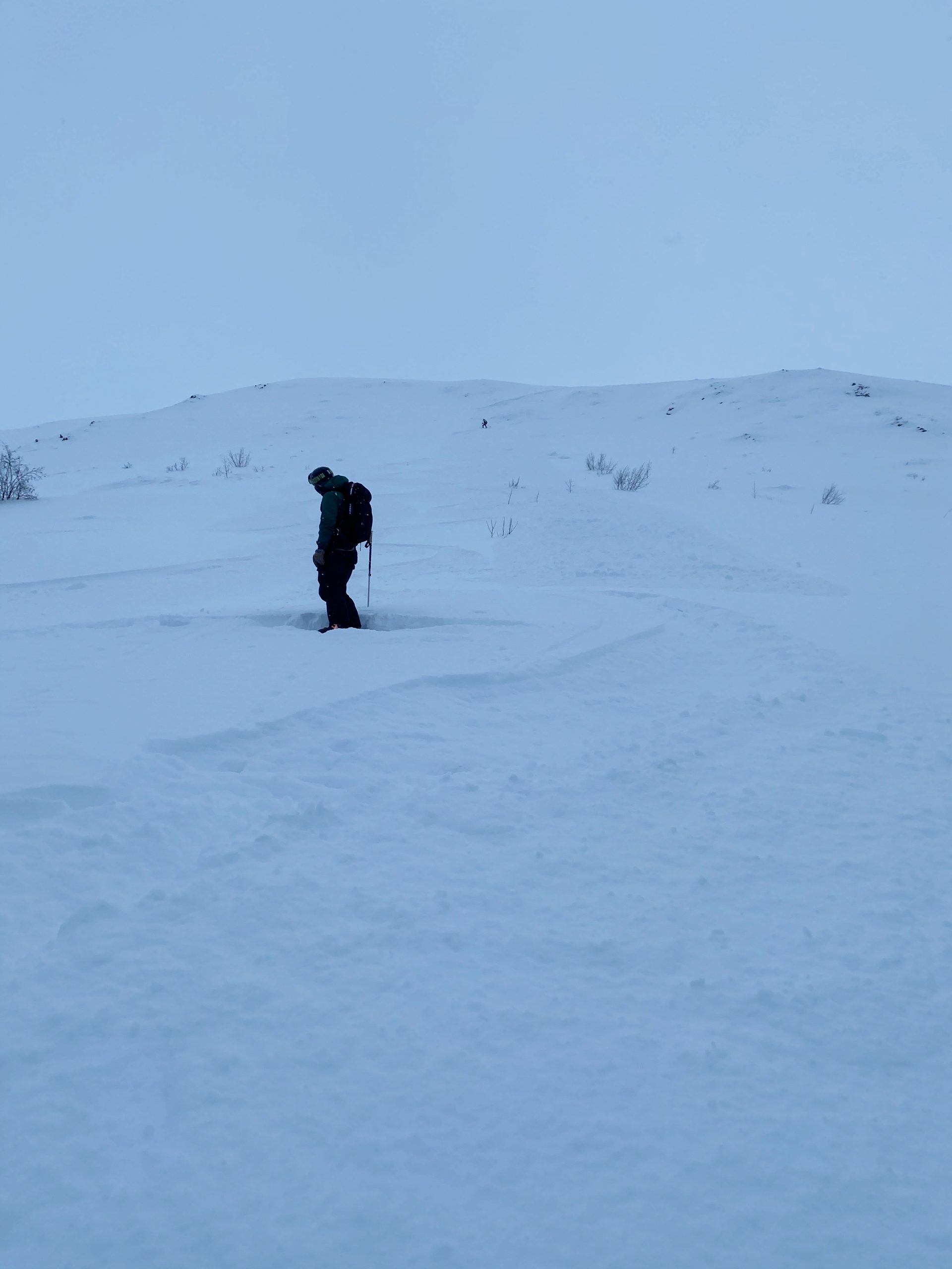
All wind slabs are suspect for being unstable. The new snow and wind events over the last three days in combination with buried weak layers has created the recipe for avalanches. Wind effected slopes and cross loaded gullies in the treeline and alpine are the most concerning.
Keep a close lookout for windloading and areas where the top foot of snow is stiffer than the snow underneath. Any shooting cracks in the snow or whumpfing (collapsing) are clear signs that layer of snow could avalanche.
Once the newer snow becomes more consolidated, it could become cohesive and form a slab. Once it does, we could start seeing an increase in avalanche activity.
Sluffs: In steeper areas, sluffs could entrain enough snow to knock a person off their feet. Give extra caution while traveling above cliffs and rocky terrain.
Cornices: With winds capable of transporting snow and loose snow available for transport, cornices continue to form and build throughout the region. Give cornices a wide margin.
Glide cracks and avalanches are still possible. New snow and wind is likely filling in or bridging glide cracks throughout the region and they could be more difficult to see. Remain prudent when visibility is low, and avoid being underneath glide cracks when possible.
Yesterday: Cloudy and obscured skies with 2″-4″ of snow overnight at sea level. Ridgetop winds from the east at 10-35mph. Temperatures were below zero and into the teens.
Today: Mostly cloudy skies with intermittent snowfall today may provide an additional 1-3″ before this system pushes out. Ridgetop winds from the east will likely blow from 5-15mph gusting to 35mph. Temperatures will range from 0°F to the low 20’s today.
Tomorrow: Cloudy skies with continued intermittent light snowfall. Temperatures should bump back up to the teens and low 20°F as the next front approaches on Sunday afternoon bringing another round of precipitation into Monday.
PRECIPITATION 24-hour data (6am – 6am)
Temp Avg (F) | Snow (in) | Water (in) | Snow Depth (in) | |
---|---|---|---|---|
Center Ridge (1880′) | 5 | 3 | 0.3 | 38 |
Summit Lake (1400′) | 3 | 3 | 0.2 | 13 |
Alyeska Mid (1700′) | 4 | 4 | 0.2 | 30 |
RIDGETOP 24-hour data (6am – 6am)
Temp Avg (F) | Wind Dir | Wind Avg (mph) | Wind Gust (mph) | |
---|---|---|---|---|
Sunburst (3812′) | 9 | ENE-Variable | 13 | 35 |
Seattle Ridge (2400′) | N/A* | N/A* | N/A* | N/A* |
*Rime has covered the wind sensor on Seattle Ridge.
Date | Region | Location | Observer |
---|---|---|---|
01/31/23 | Turnagain | Observation: Johnson Pass area | Megan Guinn / W Wagner Forecaster |
01/29/23 | Turnagain | Observation: Tincan Backdoor | AAS-Level 1 1/27-1/30 |
01/28/23 | Turnagain | Observation: Sunburst | Brooke Edwards |
01/28/23 | Turnagain | Avalanche: Seattle Ridge | W Wagner |
01/28/23 | Turnagain | Observation: Tincan Common | Tony Naciuk |
01/27/23 | Turnagain | Observation: Sunburst | John Sykes |
01/27/23 | Turnagain | Avalanche: Lynx Creek | Megan Guinn / W Wagner |
01/25/23 | Turnagain | Observation: Cornbiscuit | John Sykes Forecaster |
01/22/23 | Turnagain | Avalanche: Tincan | Schauer/ Guinn |
01/21/23 | Turnagain | Avalanche: Seattle Ridge | Elias Holt |
Status of riding areas across the Chugach NF is managed by the Glacier and Seward Ranger Districts, not avalanche center staff. Riding area information is posted as a public service to our users and updated based on snow depth and snow density to prevent resource damage at trailhead locations. Riding area questions contact: mailroom_r10_chugach@fs.fed.us
Area | Status | Weather & Riding Conditions |
---|---|---|
Glacier District |
Subscribe to Turnagain Pass
Avalanche Forecast by Email
This is a general backcountry avalanche advisory issued for Turnagain Arm with Turnagain Pass as the core advisory area. This advisory does not apply to highways, railroads or operating ski areas.