Turnagain Pass Avalanche Forecast
|
![]() ![]() |
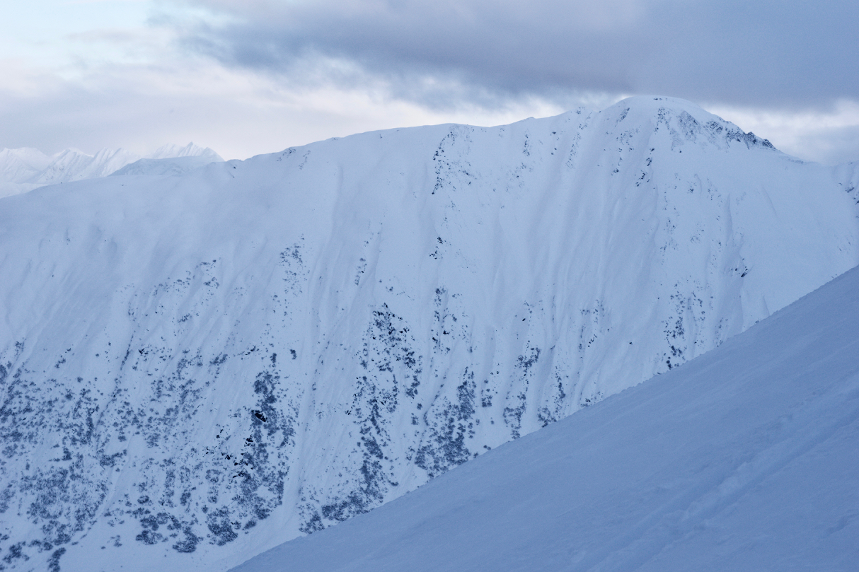
A MODERATE avalanche danger exists above 2,500′ for wind slab avalanches and cornice falls. Triggering a lingering wind slab 1-3′ thick is possible in steep terrain just off ridgelines and in cross-loaded gullies. Give cornices a wide berth. They have grown and may break off easily.
Turnagain Pass – Avy Chat @ Black Diamond
TONIGHT, December 19th from 6:30pm – 8:00pm. Cost FREE!
Join CNFAIC Director/ forecaster Wendy Wagner for a discussion on early season conditions and avalanches. How the snowpack is shaping up and what types of avalanches have occurred, including those affecting summer trails.
Signal Word | Size (D scale) | Simple Descriptor |
Small | 1 | Unlikely to bury a person |
Large | 2 | Can bury a person |
Very Large | 3 | Can destroy a house |
Historic | 4 & 5 | Can destroy part or all of a village |
If traveling in the Alpine today, be on the lookout for wind effect from the almost two weeks of moderate to strong winds redistributing the snow that fell over the same time period. Windward areas are scoured to the tundra and catchment zones have drifts over 10 feet deep. After a day of benign weather yesterday, wind slabs may be more stubborn to trigger but should not be ruled out in steep wind-loaded terrain. Be especially cautious on unsupported slopes and in cross-loaded gullies. A wind slab avalanche could take you for a bad ride if triggered in high consequence terrain. You may be able to get well out onto the slope before it releases. Listen for hollow sounding snow, feel for stiffer snow over softer snow and pay close attention to loading patterns.
Cornices: The recent snow and wind have also created larger cornices that may be triggered along ridgelines. Give them a wide berth as they often fail farther back than expected. Be aware of other parties traveling above or below you in relation to the cornices.
Signal Word | Size (D scale) | Simple Descriptor |
Small | 1 | Unlikely to bury a person |
Large | 2 | Can bury a person |
Very Large | 3 | Can destroy a house |
Historic | 4 & 5 | Can destroy part or all of a village |
With sunshine, good visibility and improved snow cover at upper elevations, travel further into the Alpine is more appealing. Keep in mind overall there is limited snowpack data from above 3000′. Various layers of facets and crusts could still remain intact at the high elevations, especially in shallow snow cover areas like the southern end of Turnagain pass and Summit Lake. Where this is the case, the potential exists for a larger avalanche to be triggered that breaks deeper in the snowpack.
Observers on Tuesday dug a pit at 3,500′ on Sunburst and found the old November Veteran’s Day facets over the hard basal melt-freeze crust. The layer didn’t show signs of reactivity here, which is good news. However, it is still something we are keeping on our radar.
Keep your eyes peeled for glide cracks in the terrain that you are traveling in. Steer clear and avoid lingering in the runout of this unpredictable hazard. There is a chance we may see some more glide cracks open and release as temperatures drop or the glide activity may completely stop.
Yesterday: Skies were partly cloudy and there was some patchy valley fog. Temperatures were in the low 30°Fs at sea level and in the mid 20°Fs at the ridgetops. Winds were mostly light and easterly. Overnight temperatures slowly cooled to the high 20°Fs at sea level and low 20°Fs at upper elevations. Winds were light and variable.
Today: Skies will be partly cloudy with a chance of isolated snow showers. Temperatures will continue to slowly drop with ridgetops in the low 20°Fs to high teens and low elevations in the 20°Fs. Winds will be light from the northwest. Tonight temperatures will get down into the teens and single digits.
Tomorrow: Sunshine and colder temperatures are on tap as high pressure moves over the region. The forecast is for teens and single digits. There is the potential for increasing northerly outflow winds as this weather pattern sets in. The sunny skies and cold temperatures look to continue through the weekend. The outlook for the early next week remains uncertain.
PRECIPITATION 24-hour data (6am – 6am)
Temp Avg (F) | Snow (in) | Water (in) | Snow Depth (in) | |
---|---|---|---|---|
Center Ridge (1880′) | 28 | 0 | 0 | 30 |
Summit Lake (1400′) | 27 | 0 | 0 | 7 |
Alyeska Mid (1700′) | 29 | 0 | 0 | 15 |
RIDGETOP 24-hour data (6am – 6am)
Temp Avg (F) | Wind Dir | Wind Avg (mph) | Wind Gust (mph) | |
---|---|---|---|---|
Sunburst (3812′) | 23 | E | 6 | 28 |
Seattle Ridge (2400′) | NA* | NA* | NA* | NA* |
*Seattle Ridge weather station is not reporting.
Date | Region | Location | Observer |
---|---|---|---|
05/22/23 | Turnagain | Avalanche: Tincan | Nick D'Alessio |
05/12/23 | Turnagain | Avalanche: Tincan, Sunburst, Magnum, Cornbiscuit | Heather Thamm |
05/07/23 | Turnagain | Observation: Tincan – Bear Tracks | CNFAIC Staff |
05/05/23 | Turnagain | Observation: Seattle Ridge | AS/ WW Forecaster |
05/02/23 | Turnagain | Observation: Cornbiscuit | Schauer/ Sturgess Forecaster |
05/02/23 | Turnagain | Observation: Seward Hwy Turnagain Pass | Joel Curtis |
04/30/23 | Turnagain | Observation: Magnum | Ayla, Kit Crosby, Barton |
04/29/23 | Turnagain | Observation: Tincan | John Sykes |
04/28/23 | Turnagain | Avalanche: Taylor Pass/Pastoral | Schauer/ Creighton Forecaster |
04/28/23 | Turnagain | Avalanche: Tincan | Andy Moderow |
Status of riding areas across the Chugach NF is managed by the Glacier and Seward Ranger Districts, not avalanche center staff. Riding area information is posted as a public service to our users and updated based on snow depth and snow density to prevent resource damage at trailhead locations. Riding area questions contact: mailroom_r10_chugach@fs.fed.us
Area | Status | Weather & Riding Conditions |
---|---|---|
Glacier District |
Subscribe to Turnagain Pass
Avalanche Forecast by Email
This is a general backcountry avalanche advisory issued for Turnagain Arm with Turnagain Pass as the core advisory area. This advisory does not apply to highways, railroads or operating ski areas.