Turnagain Pass Avalanche Forecast
|
![]() ![]() |
The avalanche danger is CONSIDERABLE at all elevations today as snow, rain and steady ridgetop winds continue. Natural avalanches and cornice falls are possible and human triggered avalanches are likely. Additionally, above 2500′, there is a chance a natural avalanche or a person could trigger a deep slab avalanche in weak snow near the ground. Cautious route-finding and conservative decision-making are essential.
SUMMIT LAKE: The snowpack in the Summit Lake area is generally thinner and weaker, making it easier to trigger a deep slab avalanche near the ground. Extra caution is advised. Avoid steep, rocky terrain where these avalanches will be most likely.
Signal Word | Size (D scale) | Simple Descriptor |
Small | 1 | Unlikely to bury a person |
Large | 2 | Can bury a person |
Very Large | 3 | Can destroy a house |
Historic | 4 & 5 | Can destroy part or all of a village |
With the active weather pattern continuing and the possibility of natural avalanches, today is a day to stick to low angle terrain and avoid avalanche runout areas. Yesterday morning brought a pulse of 3-6″ of light fluffy snow that was followed by rising temperatures, heavier snow and rain overnight (with rain/snowline around 1500′).
24 hr storm totals:
With heavier snow falling on lighter snow and the old surface snow being weak, expect storm slabs to be sensitive today. In addition, below 2500′ this will all be resting on top of the rain crust. This could easily act as a bed surface with the weak snow sandwiched between it and the storm snow. Observers yesterday noted snow not bonding well to the crust. Steady ridgetop winds will have transported snow to leeward terrain and created touchy wind slabs. Cornices will also be larger and more sensitive to triggering today. Look for roller balls and loose snow avalanches at low elevations as rain falls onto dry snow. With all these storm related avalanche issues today use good travel protocol, avoid small terrain trap features and look for signs of instability.
Red flags to watch for:
– Recent avalanches, from yesterday or today?
– Whumpfing (collapsing) of the snowpack.
– Shooting cracks, likely to be seen near ridgelines where the wind has formed wind slabs.
Sparkling surface hoar and small near-surface facets are now buried at the new snow/old snow interface and could be quite reactive today. Photo: Manitoba. 12.5.20
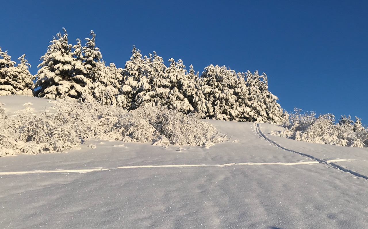
The stout rain crust to around 2500′ has the potential to act as bed surface. Crust @ 2400′, Notch Mountain. 12.6.20
Signal Word | Size (D scale) | Simple Descriptor |
Small | 1 | Unlikely to bury a person |
Large | 2 | Can bury a person |
Very Large | 3 | Can destroy a house |
Historic | 4 & 5 | Can destroy part or all of a village |
Another reason to keep it mellow today is that once you travel into terrain where the stout rain crust ends (around 2500′), we cannot rule out the potential for large avalanches failing at the ground. Weak, faceted snow still exists at the bottom of the snowpack. Saturday’s snowboarder-triggered avalanche on Silvertip is reminder of this lingering deep slab avalanche problem. Snowfall and wind-loading will add stress to the snowpack and an avalanche failing in the in the upper snowpack or a cornice fall could make these more sensitive today.
Yesterday: Skies were overcast with snow falling throughout the day, turning to rain at lower elevations in the late afternoon. Winds were easterly 15-25 mph gusting into the 40-50s. Temperatures started in the teens and rose to the high 20°Fs to mid 30°Fs. Overnight snow and rain continued. Temperatures were in the high 30°Fs at sea level and mid to high 20°Fs in the alpine. Ridgetop winds remained easterly and steady, averaging 10-20 mph and gusting into the 40s.
Today: Rain and snow continue today with another 5-10″ of snow (0.5 inches of H2O) forecast to fall. Temperatures will be in the high 20°Fs to mid 30°Fs depending on elevation. Rain/snowline could be as high as 1500′ and should lower this evening. Winds remain easterly 10-20 mph gusting into the 40s. Rain and snow continue tonight becoming all snow with temperatures decreasing to the 20°Fs and winds easing off.
Tomorrow: Tuesday is forecast to be mostly cloudy with snow showers, light east winds and temperatures in the 20°Fs. The active pattern looks to persist this week but there is still some uncertainty in the details. As always think cold thoughts! #snowtosealevelplease
PRECIPITATION 24-hour data (6am – 6am)
Temp Avg (F) | Snow (in) | Water (in) | Snow Depth (in) | |
---|---|---|---|---|
Center Ridge (1880′) | 31 | 8 | 0.7 | 63 |
Summit Lake (1400′) | 30 | 3 | 0.3 | 24 |
Alyeska Mid (1700′) | 31 | 10 | 1.31 | 60 |
RIDGETOP 24-hour data (6am – 6am)
Temp Avg (F) | Wind Dir | Wind Avg (mph) | Wind Gust (mph) | |
---|---|---|---|---|
Sunburst (3812′) | 24 | NE | 24 | 56 |
Seattle Ridge (2400′) | 26 | E | 9 | 23 |
Date | Region | Location | Observer |
---|---|---|---|
05/22/23 | Turnagain | Avalanche: Tincan | Nick D'Alessio |
05/12/23 | Turnagain | Avalanche: Tincan, Sunburst, Magnum, Cornbiscuit | Heather Thamm |
05/07/23 | Turnagain | Observation: Tincan – Bear Tracks | CNFAIC Staff |
05/05/23 | Turnagain | Observation: Seattle Ridge | AS/ WW Forecaster |
05/02/23 | Turnagain | Observation: Cornbiscuit | Schauer/ Sturgess Forecaster |
05/02/23 | Turnagain | Observation: Seward Hwy Turnagain Pass | Joel Curtis |
04/30/23 | Turnagain | Observation: Magnum | Ayla, Kit Crosby, Barton |
04/29/23 | Turnagain | Observation: Tincan | John Sykes |
04/28/23 | Turnagain | Avalanche: Taylor Pass/Pastoral | Schauer/ Creighton Forecaster |
04/28/23 | Turnagain | Avalanche: Tincan | Andy Moderow |
Status of riding areas across the Chugach NF is managed by the Glacier and Seward Ranger Districts, not avalanche center staff. Riding area information is posted as a public service to our users and updated based on snow depth and snow density to prevent resource damage at trailhead locations. Riding area questions contact: mailroom_r10_chugach@fs.fed.us
Area | Status | Weather & Riding Conditions |
---|---|---|
Glacier District |
Subscribe to Turnagain Pass
Avalanche Forecast by Email
This is a general backcountry avalanche advisory issued for Turnagain Arm with Turnagain Pass as the core advisory area. This advisory does not apply to highways, railroads or operating ski areas.