Turnagain Pass
|
|
UPDATE: 7am Thursday, November 12
November is proving its worth! After 16-24″ of snow fell last weekend, snow has been falling again since Tuesday night. Looking at our storm total so far, upper elevations above the precipitation stations are estimated at 2.5′ in the high terrain around Portage Valley, 2′ in upper Girdwood Valley and 16″ at Turnagain Pass. Strong easterly winds accompanied the snowfall Tuesday night, but have been moderate (10-20mph with gusts in the 30’s mph) for the past 24 hours. This is all great news, but remember it comes with some avalanche issues discussed below.
Temperatures have been trending upwards overnight and a rain/snow mix is occurring at sea level along Turnagain Arm. Another 2-5″ of snow is expected through today before this final pulse of moisture moves out and clear(ish) skies move in for this weekend. Winds are expected to continue to decrease and blow from the north in the 5-15mph range today and increase to the 20’s mph tomorrow.
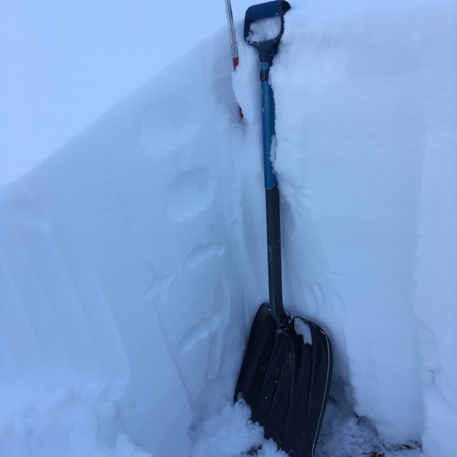
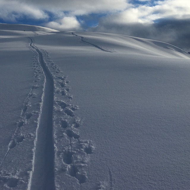
The snowpack is building. Roughly 2-3′ exists above 2,500′ and around 2′ at 2000′. Check out Andy Moderow’s report from Tincan yesterday (thanks Andy!). The strong winds have redistributed much of the snow above treeline and so depths are quite variable.
Snowpack structure: The main issue is a thin layer of facets (2-4″ thick) under a crust at the base of the snowpack. This is the culprit for all the ‘whumpfing’ that has been seen above treeline. These facets don’t exists below 1800′. Above the crust, the snow is showing signs of bonding to itself in areas where winds are not creating fresh wind slabs. Hence the two avalanche problems to watch out for are:
Persistent Slab avalanches: An avalanche releasing in the facets at the bottom of the snowpack. The higher one goes in elevation – above 2,500′ – the more likely it will be to encounter this issue. Whumpfing is a sure sign this layer is reactive. Any snow covered slope is suspect, but wind loaded slopes are the most suspect. If an avalanche releases near the ground it will take the whole pack, resulting in a very dangerous slide.
Wind Slab avalanches: Fresh wind slabs are likely to be found anywhere the wind has been loading slopes. Keep in mind even a small wind slab, you may not be worried about, could step down and trigger a larger avalanche due to the problem mentioned above.
RED FLAGS: Recent avalanches, whumpfing (collapsing) in the snowpack and cracks is the snow that shoot out from you are all signs an avalanche could be triggered. Despite the early season thin snow cover, there is now plenty of snow to slide. It’s worth being very suspect of slopes moving forward as skies clear and travel in the Alpine is easier.
 Snowpack at 2,600′ on Tincan. Note the sugary snow (facets) at the base of the pack. (Photo: Andy Moderow)
 The mountains are getting whiter – but don’t forget about the facets below! (Photo: Andy Moderow)
Storm totals from Tuesday night (11/10) through 6am Thursday morning (11/12):
Alyeska mid-mountain (1700′): 1.5″ SWE with 15″ snow
Portage Valley (115′): 2.3″ mostly rain/snow mix
Turnagain Pass (1800′): . 1″ SWE with 12″ snow
Summit lake (1400′): . .3″ SWE with 2″ snow
Avalanche Center Operations: We will continue to provide conditions updates and are planning on issuing the first forecast around Thanksgiving.
Getting into the mountains? Please send us your snow/avalanche reports so we can post them on our observation page! Simply click ‘submit observation’ under the Observation tab. This is a huge benefit for the community and our forecasters.
*Keep tabs on early season conditions and events on Facebook and follow us on Instagram.*
EVENTS:
From Friday, November 6th – Check out the recording of the 2020 Virtual Southcentral Alaska Avalanche Workshop (SAAW). HERE.
Cost: 20$. For Zoom tickets register on HERE.
December 1, 15, 29 and January 14:
CNFAIC Forecaster Chat Series – VIRTUAL!
Time: 7-8pm, Cost: FREE
Forecasters will hold a series of online chats. These will begin with a recap of last season, an outlook for the coming year, and move into an in depth discussion on the various avalanche problems and how they impact the Turnagain Pass region. These are great opportunity to ask questions about specific avalanche conditions and decision-making.