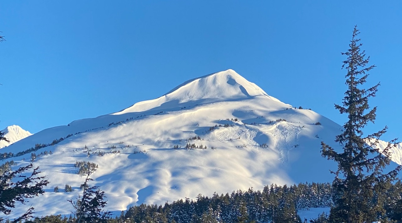
Triggering an avalanche on a buried layer of weak snow is the main concern today. The big question is whether or not there is a slab over the weak snow. Slopes that were loaded during the wind event last Thursday (2.11) are most suspect due to the potential for a more substantial slab. Since January 28th we have been talking about a layer of buried surface hoar and near surface facets, and the possibility of triggering an avalanche if you travel on a slope that has a slab over this layer. In addition, there have been subsequent small snow events, a few wind events (from different directions) and more surface hoar and near-surface facet formation. In some terrain there is now more than one layer of weak snow and more than one layer of wind affected snow. During the Thursday wind event there was a natural avalanche cycle with avalanches failing on buried weak snow. There were a couple of small human triggered avalanches reported yesterday and there were a handful on Friday and Saturday. With that data in mind there are a few other things to remember in as you make your travel plan for the day today. Areas with more snow over the January 28th layer like Placer, Skookum and Grandview could have deeper slabs. Additionally, there is a melt-freeze crust buried below weak snow from sea level to somewhere between 1200-2000′ depending on location. This crust facet set-up combined with a slab on top could be a recipe for a larger, more connected avalanche. When you are out today watch for cracks shooting out from your snowmachine or skis, smooth rounded pillows of snow, and ‘punchy’ feeling stiff snow over weaker snow. Steep slopes with wind affected snow should be approached with extra caution. Slabs will mostly likely be found near ridges, on wind-loaded slopes and in cross-loaded gullies. Even shallow slabs can be quite dangerous in high consequence terrain and hard wind slabs may break above you as you travel out onto the slope. Look for signs of signs of instability, choose terrain carefully and use good travel protocol.
Loose Snow Avalanches (Sluffs): In steep terrain that has been sheltered from the wind be aware of your sluff, especially if you are above terrain traps like cliffs, rocks, trees, or gullies.
Cornices: When traveling along ridgelines be sure to give cornices plenty of space, and minimize the amount of time spent traveling below them. Cornices could fail under the weight of a person on skis or a snowmachine, and might trigger an avalanche if the slope below is wind-loaded.

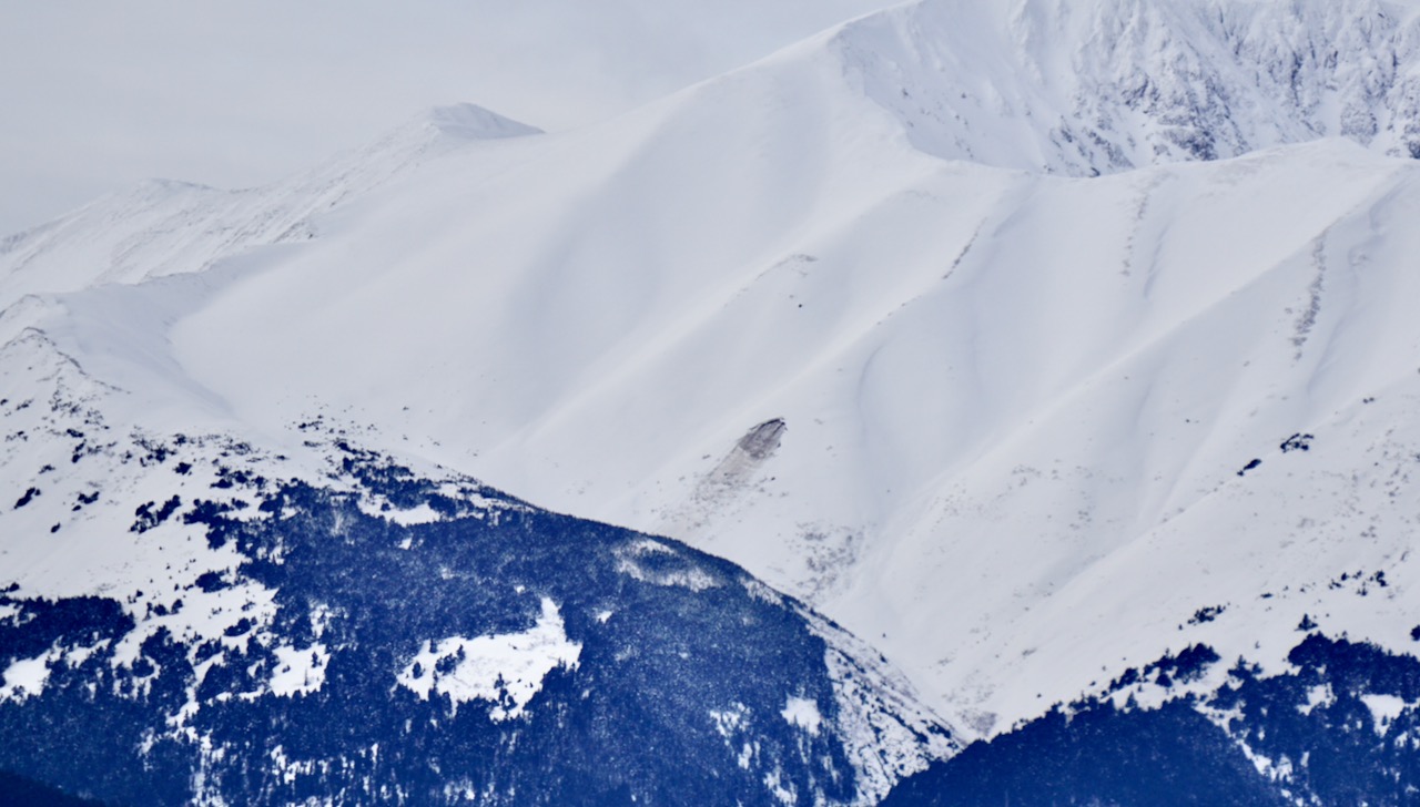
Natural wind triggered avalanches from the 2.11 wind event on Eddies, 2.13.21. Photo: George Creighton. Wind-loaded terrain like this is still suspect today.

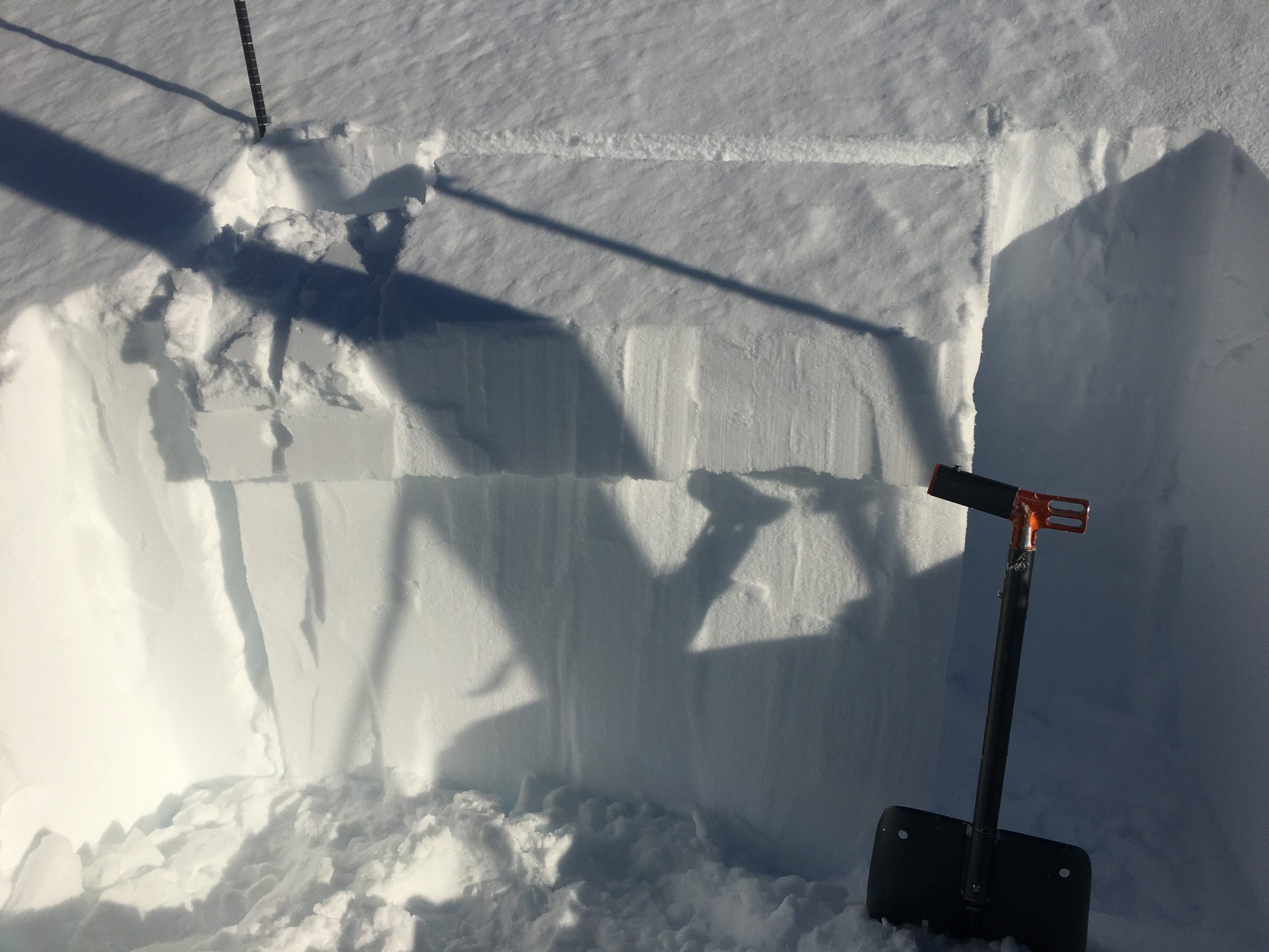
Slab failing on a layer of buried facets, Pete’s North 2200′, 2.13.21.