Turnagain Pass Avalanche Forecast
|
![]() ![]() |
Today’s avalanche danger will be MODERATE at elevations above 1000’, where it is possible a person could trigger an avalanche up to 1′ deep on steep slopes harboring lingering wind slabs. It will be important to identify signs of unstable, wind loaded snow before accessing steep terrain. Pay attention to shooting cracks, collapsing, and recent avalanche activity, and dial your terrain back if you see any of these signs of instability.
The avalanche danger will remain LOW below 1000’, where the upper snowpack is comprised of various hard crusts and avalanches are unlikely.
Forecaster Chat #4: Snowmachine Specific: Head on a Swivel! Join us Tuesday, February 2nd from 7-8:30pm, for a VIRTUAL snowmachine-specific discussion with Graham Predeger and snowmachine educator and rider Tim Thomas from Haines. Stay tuned for a link to join the free virtual event.
Signal Word | Size (D scale) | Simple Descriptor |
Small | 1 | Unlikely to bury a person |
Large | 2 | Can bury a person |
Very Large | 3 | Can destroy a house |
Historic | 4 & 5 | Can destroy part or all of a village |
With another round of beautiful weather on tap for today, it will be a great day to get out and soak up some sun. Our main concern will be triggering an avalanche on steep terrain with lingering wind slabs. Due to the fact we are only a few days out from a strong wind event, and taking into account the shift in wind direction since early Monday morning, we expect it will still be possible to trigger a wind slab avalanche on steep, wind-loaded slopes. The good news is that these avalanches are becoming increasingly difficult to trigger, and terrain with sensitive wind slabs is becoming more difficult to find. But we can’t rule out these avalanches just yet, and it is important to not let your guard down. Before moving into steep terrain, be sure to look for indicators of recent wind loading. This may look like a smooth pillow of drifted snow, or maybe a rippled texture across the surface. Wind slabs are also stiffer than snow that has not been transported by the wind. Pay attention to clear indicators of unstable snow– shooting cracks, collapsing, and other avalanches– and stick to lower angle terrain if you are noticing any of these.
Cornices: Cornices are starting to get quite large throughout the area. We have seen these failing naturally on the tail of Saturday’s storm, and they are still sensitive enough that an unlucky person could cause one to fail. While they are now big enough to pose a serious hazard on their own, they could also provide a large enough load to trigger a stubborn wind slab avalanche below. If your travel plans involve traveling along ridgelines, be sure you keep plenty of distance from the edge. It will also be important to minimize time spent below cornices.
Sluffs: We received multiple reports of skiers triggering dry loose avalanches (sluffs) with increasing volume yesterday. If you are planning on moving into steep terrain, be aware of these avalanches, as they may be large enough to carry a person into dangerous terrain traps like cliffs, rocks, trees, or gullies.
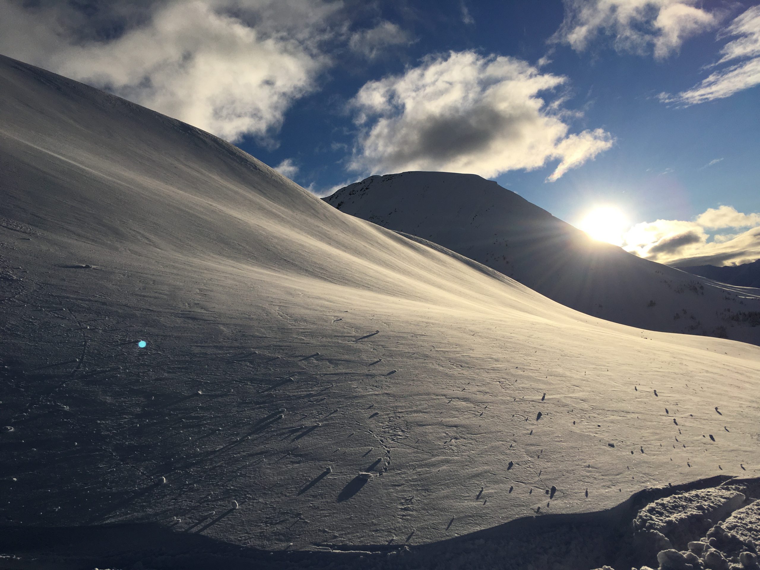
Textured, wind-drifted snow on Cornbiscuit. Photo: Troy Tempel. 01.24.2021
We are continuing to see new glide activity in the area. We have recently seen glide cracks open and release in Eddies, Raggedtop, Goat Shoulder, Penguin Ridge, Seattle Ridge, Warmup bowl, Gilpatricks, and Devil’s creek. These avalanches are unpredictable, and they involve the entire snowpack– which at this point is up to 10-15’ deep. Be sure to avoid getting on or below slopes with glide cracks, and let us know if you see any new cracks or releases.
Yesterday: We saw mostly sunny skies with light westerly winds blowing 5-10 mph near ridgetops. High temperatures were in the low to upper 20’s F during the day, and lows were in the low to upper teens F last night.
Today: We should see another beautiful with plenty of sunshine. We are expecting temperatures in the high teens at upper elevations, and in the low 20’s at lower elevations. Westerly winds are expected to blow around 5-10 mph at ridgetops. There is a chance of patches of valley fog as cold air moves into the region.
Tomorrow: We are expecting increasing cloud cover through the day tomorrow as an upper level ridge gives way to our next low pressure system, which should move into our area early Thursday morning. Light easterly winds are expected around 5-10 mph near ridgetops, and we should see temperatures stay in the low to upper teens. Little to no precipitation is expected until late tomorrow night or early Thursday morning.
PRECIPITATION 24-hour data (6am – 6am)
Temp Avg (F) | Snow (in) | Water (in) | Snow Depth (in) | |
---|---|---|---|---|
Center Ridge (1880′) | N/A* | N/A | N/A | N/A |
Summit Lake (1400′) | N/A* | N/A | N/A | N/A |
Alyeska Mid (1700′) | 22 | 0 | 0 | 113 |
*Snotel sites have been down since 5:00 p.m. on Saturday.
RIDGETOP 24-hour data (6am – 6am)
Temp Avg (F) | Wind Dir | Wind Avg (mph) | Wind Gust (mph) | |
---|---|---|---|---|
Sunburst (3812′) | 18 | W | 7 | 19 |
Seattle Ridge (2400′) | 18 | VAR | 4 | 12 |
Date | Region | Location | Observer |
---|---|---|---|
05/22/23 | Turnagain | Avalanche: Tincan | Nick D'Alessio |
05/12/23 | Turnagain | Avalanche: Tincan, Sunburst, Magnum, Cornbiscuit | Heather Thamm |
05/07/23 | Turnagain | Observation: Tincan – Bear Tracks | CNFAIC Staff |
05/05/23 | Turnagain | Observation: Seattle Ridge | AS/ WW Forecaster |
05/02/23 | Turnagain | Observation: Cornbiscuit | Schauer/ Sturgess Forecaster |
05/02/23 | Turnagain | Observation: Seward Hwy Turnagain Pass | Joel Curtis |
04/30/23 | Turnagain | Observation: Magnum | Ayla, Kit Crosby, Barton |
04/29/23 | Turnagain | Observation: Tincan | John Sykes |
04/28/23 | Turnagain | Avalanche: Taylor Pass/Pastoral | Schauer/ Creighton Forecaster |
04/28/23 | Turnagain | Avalanche: Tincan | Andy Moderow |
Status of riding areas across the Chugach NF is managed by the Glacier and Seward Ranger Districts, not avalanche center staff. Riding area information is posted as a public service to our users and updated based on snow depth and snow density to prevent resource damage at trailhead locations. Riding area questions contact: mailroom_r10_chugach@fs.fed.us
Area | Status | Weather & Riding Conditions |
---|---|---|
Glacier District |
Subscribe to Turnagain Pass
Avalanche Forecast by Email
This is a general backcountry avalanche advisory issued for Turnagain Arm with Turnagain Pass as the core advisory area. This advisory does not apply to highways, railroads or operating ski areas.