Turnagain Pass Avalanche Forecast
|
![]() ![]() |
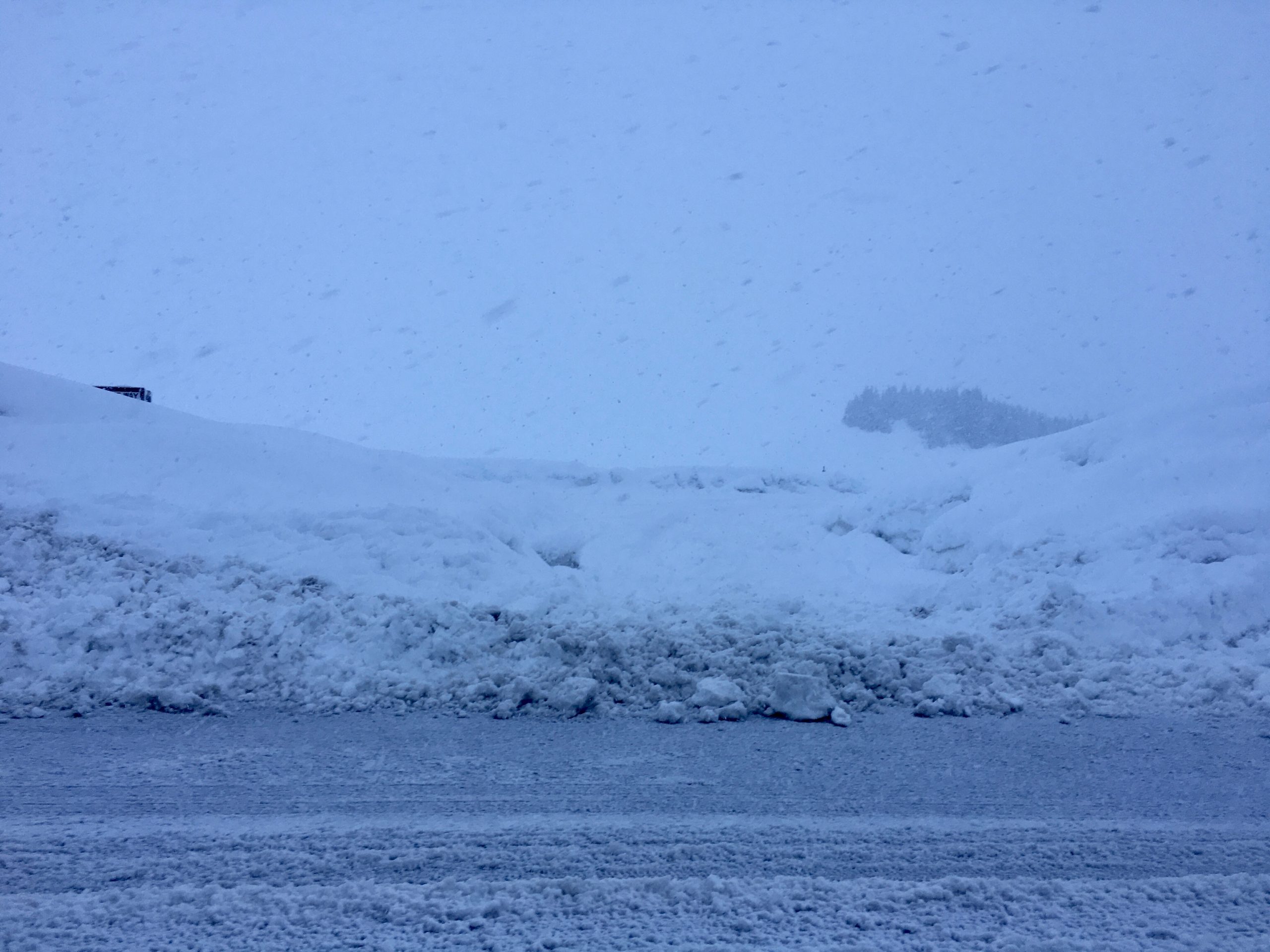
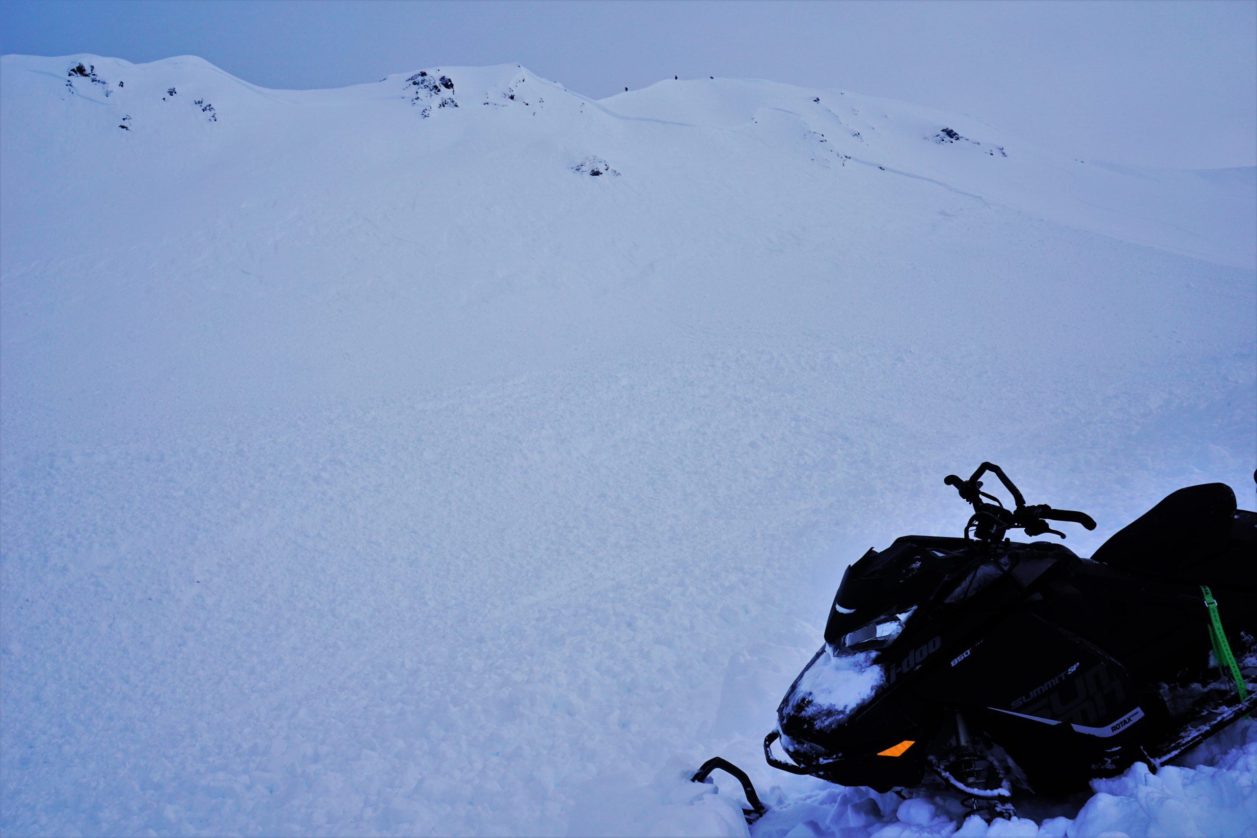
The avalanche danger is CONSIDERABLE today at elevations above 1000’, and large human-triggered avalanche are likely. Recent heavy snowfall, rain, and strong winds have created dangerous avalanche conditions. Cautious route finding will be important today, which means sticking to low-angle slopes and resisting the urge to move into big terrain as skies clear up.
The avalanche danger will be MODERATE for elevations below 1000’, where human-triggered avalanches will still be possible after mixed periods of rain and snow over the past 24 hours.
Summit Lake: Yesterday’s storm was one of the biggest 24-hr loading events in the Summit Lake area this season. With a thinner snowpack and multiple potential weak layers deeper in the snowpack, extra caution is warranted in this area.
Seward/Lost Lake/Snug: We have limited data on the snowpack in this area. If you do get out in the Central Kenai mountains, or around Seward, please share your observations here.
Seward Highway: There was debris from natural avalanches at the bottom of avalanche paths from Bird Flats to Portage and all the way down to Mile 21 near Moose Pass yesterday. Poor visibility yesterday made it impossible to tell what kind of natural activity had occurred near Girdwood or at Turnagain pass, but with skies clearing today we will surely see more recent natural avalanches.
Signal Word | Size (D scale) | Simple Descriptor |
Small | 1 | Unlikely to bury a person |
Large | 2 | Can bury a person |
Very Large | 3 | Can destroy a house |
Historic | 4 & 5 | Can destroy part or all of a village |
The skies are clearing today, but make no mistake: we are still going to be faced with dangerous avalanche conditions as the snowpack adjusts to the major loading event over the MLK holiday weekend. Do not let the mild weather today lure you into a false sense of security. After receiving 1-3’ of snow in the past 24 hours, large human-triggered avalanches are likely today. Since 6 a.m. Friday, our new snow totals are as follows:
During days like these, people are more likely to find themselves getting into trouble with avalanche accidents and close calls. Although steeper slopes will look appealing under a fresh blanket of snow and with good visibility, conservative decision making will be imperative as the snowpack reacts to the recent heavy load. Be extra cautious with your terrain choices today, and pay attention to clear signs of instability like recent avalanches, shooting cracks, and collapsing. Until the snowpack has a little more time to adjust, we need to stick to lower angle terrain.
Cornices: Conditions have been perfect for building large cornices lately. If you find yourself traveling along ridgelines, be sure to give them plenty of space. It is also important to minimize travel below cornices, as they may release naturally and unexpectedly.
This was the scene at the motorized lot yesterday- 18″ on the ground at noon and heavy snowfall. 01.18.2021
This avalanche was triggered by a snowboarder under clear skies the day after a big storm in the end of December. The snowboarder was partially buried, but luckily was not injured. It is likely a human could trigger a similar avalanche today. 12.23.2020
Yesterday: Intense precipitation starting early yesterday morning brought 2-3’ of snow at upper elevations, and over 2.5” of rain below 800’. The rain level snuck up to elevations around 1500’ periodically, with almost all snow above 1500’. Winds were 30-60 mph out of the east with gusts as high as 105 mph, but calmed down to 5-10 mph yesterday evening through last night. Temperatures were in the mid-20’s F at upper elevations, and in the mid-30’s F at low elevations.
Today: Mostly sunny skies and light winds are on tap today as an upper-level high pressure ridge passes over the area. Temperatures are expected in the upper 20’s to low 30’s F during the day, and will drop into the upper teens to low 20’s F tonight.
Tomorrow: There is a chance of light snow tonight, which may bring 1-3″. Cool temperatures should bring snow to sea level. Winds are expected to pick up tonight, blowing 25-30 mph out of the east at ridgetops with gusts to 35 mph. Skies are expected to be mostly cloudy during the day tomorrow, with another chance of light snowfall.
PRECIPITATION 24-hour data (6am – 6am)
Temp Avg (F) | Snow (in) | Water (in) | Snow Depth (in) | |
---|---|---|---|---|
Center Ridge (1880′) | 31 | 20 | 2.7 | 144 |
Summit Lake (1400′) | 33 | 12 | 1.3 | 105 |
Alyeska Mid (1700′) | 32 | 25 | 2.9 | 126 |
RIDGETOP 24-hour data (6am – 6am)
Temp Avg (F) | Wind Dir | Wind Avg (mph) | Wind Gust (mph) | |
---|---|---|---|---|
Sunburst (3812′) | 23 | NE | 30 | 105 |
Seattle Ridge (2400′) | 27 | N/A* | N/A | N/A |
*The Seattle Ridge anemometer is rimed over and not reporting.
Date | Region | Location | Observer |
---|---|---|---|
05/22/23 | Turnagain | Avalanche: Tincan | Nick D'Alessio |
05/12/23 | Turnagain | Avalanche: Tincan, Sunburst, Magnum, Cornbiscuit | Heather Thamm |
05/07/23 | Turnagain | Observation: Tincan – Bear Tracks | CNFAIC Staff |
05/05/23 | Turnagain | Observation: Seattle Ridge | AS/ WW Forecaster |
05/02/23 | Turnagain | Observation: Cornbiscuit | Schauer/ Sturgess Forecaster |
05/02/23 | Turnagain | Observation: Seward Hwy Turnagain Pass | Joel Curtis |
04/30/23 | Turnagain | Observation: Magnum | Ayla, Kit Crosby, Barton |
04/29/23 | Turnagain | Observation: Tincan | John Sykes |
04/28/23 | Turnagain | Avalanche: Taylor Pass/Pastoral | Schauer/ Creighton Forecaster |
04/28/23 | Turnagain | Avalanche: Tincan | Andy Moderow |
Status of riding areas across the Chugach NF is managed by the Glacier and Seward Ranger Districts, not avalanche center staff. Riding area information is posted as a public service to our users and updated based on snow depth and snow density to prevent resource damage at trailhead locations. Riding area questions contact: mailroom_r10_chugach@fs.fed.us
Area | Status | Weather & Riding Conditions |
---|---|---|
Glacier District |
Subscribe to Turnagain Pass
Avalanche Forecast by Email
This is a general backcountry avalanche advisory issued for Turnagain Arm with Turnagain Pass as the core advisory area. This advisory does not apply to highways, railroads or operating ski areas.