Turnagain Pass Avalanche Forecast
|
![]() ![]() |
![]() |
High Avalanche Danger
Travel in avalanche terrain is not recommended. Avoid being on or beneath all steep slopes.
|
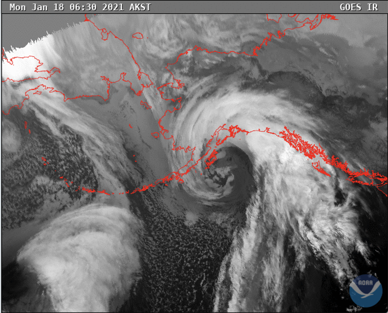
The avalanche danger is HIGH today due to heavy snowfall, rain, and strong winds. Large natural avalanches are likely, and human triggered avalanches are very likely. Travel in avalanche terrain is NOT recommended. With heavy snowfall in the upper elevations and rain to around 1200′(possibly higher), we expect to see a mix of dry slab and wet loose avalanches that could make it down to lower elevation runout zones.
The National Weather Service has issued a High Wind Warning for Portage Valley and Eastern Turnagain Arm.
*Roof Avalanches: Warm temperatures and heavy rain could cause roofs to shed their snow. Pay special attention to children, pets and where you park your car.
From the Alaska Department of Transportation: There will be intermittent traffic delays today, Monday January 18, 2021, on the Seward Highway for Avalanche Hazard Reduction work at Summit Lake near mileposts 44 to 46. Motorists should expect delays of up to 45 minutes between 10:00 am and 3:00 pm. Updates will be posted on the 511 system. http://511.alaska.gov/
Signal Word | Size (D scale) | Simple Descriptor |
Small | 1 | Unlikely to bury a person |
Large | 2 | Can bury a person |
Very Large | 3 | Can destroy a house |
Historic | 4 & 5 | Can destroy part or all of a village |
The message is pretty straightforward today. Travel in avalanche terrain is not recommended. Ridgetop winds are already averaging 30-50 mph, gusting 80-100+ mph, with a High Wind Warning in effect until 6 pm tonight. Heavy snow and rain (up to 1200′, possibly higher) are forecast to fall throughout the day (1-3′ snow/1.9 SWE”) today and there is plenty of snow available for transport at upper elevations. Snow and rain have been falling on and off for the past few days. There is light dry snow from Thursday and Friday underneath the heavier snow that fell Saturday and Sunday. All these ingredients are the perfect recipe for storm slabs, wind slabs and cornice falls. Large avalanches (1-4′ deep) are expected to release naturally, be easily triggered by people and could send debris to valley floors. This means staying well away from larger slopes and runout zones a.k.a on the couch! Below 1000′, where the majority of precipitation is rain and the snowpack is saturated, wet loose avalanches are likely in steep terrain. Today is yet again a day to be patient and give the snowpack time to adjust to the rapid loading.
Yesterday: Skies were mostly cloudy with light snow and rain showers with more precipitation falling in the Girdwood area. Rain/snow line went as high as 2000′. Precipitation picked up in late in the evening bringing 24 hour totals to 0.5-0.8″ SWE and 2-10″ of snow. Winds were easterly 5-15 mph with gusts into 20 and 30s and started to ramp up in the early evening. Overnight winds were easterly 20-40 mph with gusts into the 60s and 70s. Temperatures were in the high 30°Fs and low 40°s at sea level and mid 20°Fs at above 3000′ and cooled slightly overnight.
Today: Cloudy skies with heavy snow and rain throughout the day. Rain/snow line is forecast to be around 1200′ may go as high as 2000′ again today, with 1.9″ SWE during the day and 0.5″ SWE at night (1-4′ of total new snow possible depending on elevation). Precipitation should transition to mostly snow in the the evening and then cut off late tonight. Skies will become partly cloudy early Tuesday morning. Easterly winds will be 25-55 mph gusting into the 80s and 90s easing off in the evening and overnight, becoming light and westerly. Temperatures will be high 30°Fs and low 40°Fs at sea level and mid to high 20°Fs at ridgetops and again cool down a bit overnight.
Tomorrow: Partly sunny skies with increasing afternoon clouds. Light west winds and temperatures in the mid 20°Fs at ridgetops and mid 30°Fs at sea level. The next storm moves in overnight with snow showers likely into Wednesday and an active weather pattern in the forecast for rest of the week.
PRECIPITATION 24-hour data (6am – 6am)
Temp Avg (F) | Snow (in) | Water (in) | Snow Depth (in) | |
---|---|---|---|---|
Center Ridge (1880′) | 33 | 2 | 0.5 | 128 |
Summit Lake (1400′) | 33 | 0 | 0 | 40 |
Alyeska Mid (1700′) | 33 | 7 | 0.7 | 111 |
RIDGETOP 24-hour data (6am – 6am)
Temp Avg (F) | Wind Dir | Wind Avg (mph) | Wind Gust (mph) | |
---|---|---|---|---|
Sunburst (3812′) | 23 | NE | 27 | 105 |
Seattle Ridge (2400′) | 27 | N/A* | N/A* | N/A* |
*Seattle Ridge anemometer is rimed over.
Date | Region | Location | Observer |
---|---|---|---|
05/22/23 | Turnagain | Avalanche: Tincan | Nick D'Alessio |
05/12/23 | Turnagain | Avalanche: Tincan, Sunburst, Magnum, Cornbiscuit | Heather Thamm |
05/07/23 | Turnagain | Observation: Tincan – Bear Tracks | CNFAIC Staff |
05/05/23 | Turnagain | Observation: Seattle Ridge | AS/ WW Forecaster |
05/02/23 | Turnagain | Observation: Cornbiscuit | Schauer/ Sturgess Forecaster |
05/02/23 | Turnagain | Observation: Seward Hwy Turnagain Pass | Joel Curtis |
04/30/23 | Turnagain | Observation: Magnum | Ayla, Kit Crosby, Barton |
04/29/23 | Turnagain | Observation: Tincan | John Sykes |
04/28/23 | Turnagain | Avalanche: Taylor Pass/Pastoral | Schauer/ Creighton Forecaster |
04/28/23 | Turnagain | Avalanche: Tincan | Andy Moderow |
Status of riding areas across the Chugach NF is managed by the Glacier and Seward Ranger Districts, not avalanche center staff. Riding area information is posted as a public service to our users and updated based on snow depth and snow density to prevent resource damage at trailhead locations. Riding area questions contact: mailroom_r10_chugach@fs.fed.us
Area | Status | Weather & Riding Conditions |
---|---|---|
Glacier District |
Subscribe to Turnagain Pass
Avalanche Forecast by Email
This is a general backcountry avalanche advisory issued for Turnagain Arm with Turnagain Pass as the core advisory area. This advisory does not apply to highways, railroads or operating ski areas.