Turnagain Pass Avalanche Forecast RSS

Archives
ARCHIVED FORECAST - All forecasts expire after 24 hours from the posting date/time.
Issued
Tue, January 10th, 2023 - 7:00AM
Expires
Wed, January 11th, 2023 - 7:00AM
Forecaster
Andrew Schauer
Avalanche risk The Bottom Line

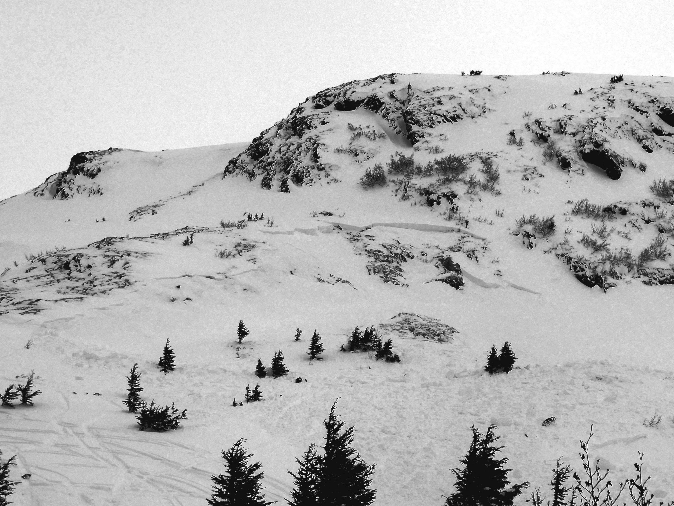
The avalanche danger is CONSIDERABLE above 2500′. Strong easterly winds are increasing through the day, making human-triggered avalanches likely and natural avalanches possible. A wind slab avalanche failing 1-2′ deep in freshly wind-loaded snow may trigger a very large avalanche on weak snow buried 3-6′ deep. Dangerous avalanche conditions will require cautious route finding, which means avoiding steep avalanche terrain. The danger is MODERATE between 1000′ and 2500′, where the winds won’t be quite as strong and the deeper weak layers are less likely to be an issue. The danger is LOW below 1000′.

Special Announcements

Join us at the Girdwood Brewing Co. from 5:30-7:00 p.m. on Thursday, Jan. 19 for the second Forecaster Chat of the season. CNFAIC forecaster Andrew Schauer will open the night with an overview of the state of the snowpack, followed by a discussion on how safe terrain management changes depending on the type of avalanche problem at hand. More details here.

Thanks to our sponsors!
Tue, January 10th, 2023
Alpine
Above 2,500'
Considerable (3)
Avalanche risk
Treeline
1,000'-2,500'
Moderate (2)
Avalanche risk
Below Treeline
Below 1,000'
Low (1)
Avalanche risk
Alpine
Above 2,500'
Avalanche risk
Considerable (3)
Treeline
1,000'-2,500'
Avalanche risk
Moderate (2)
Below Treeline
Below 1,000'
Avalanche risk
Low (1)
Danger Scale:
No Rating (0)
Low (1)
Moderate (2)
Considerable (3)
High (4)
Extreme (5)
Recent Avalanches

There has not been any avalanche activity that we are aware of since Saturday’s very large avalanche on Cornbiscuit (details here). Wendy saw evidence of recent natural activity near Johnson Pass yesterday (see photo below), and I saw an avalanche that failed on a layer of facets below a thin crust on a wind-loaded slope in Snug Harbor (details here).

Natural avalanches in our middle elevation band in the Johnson Pass area. Photo taken 01.09.2023

Avalanche Problem 1
  • Wind Slabs
    Wind Slabs
  • Aspect/Elevation
  • Almost Certain
    Very Likely
    Likely
    Possible
    Unlikely
    Likelihood
  • Historic (D4-5)
    Very Large (D3)
    Large (D2)
    Small (D1)
    Size
Wind Slabs
Wind Slab avalanches are the release of a cohesive layer of snow (a slab) formed by the wind. Wind typically transports snow from the upwind sides of terrain features and deposits snow on the downwind side. Wind slabs are often smooth and rounded and sometimes sound hollow, and can range from soft to hard. Wind slabs that form over a persistent weak layer (surface hoar, depth hoar, or near-surface facets) may be termed Persistent Slabs or may develop into Persistent Slabs.

Aspect/Elevation of the Avalanche Problem
Specialists develop a graphic representation of the potential distribution of a particular avalanche problem across the topography. This aspect/elevation rose is used to indicate where the particular avalanche problem is thought to exist on all elevation aspects. Areas where the avalanche problem is thought to exist are colored grey, and it is less likely to be encountered in areas colored white.

Likelihood of Avalanches
Terms such as "unlikely", "likely", and "certain" are used to define the scale, with the chance of triggering or observing avalanches increasing as we move up the scale. For our purposes, "Unlikely" means that few avalanches could be triggered in avalanche terrain and natural avalanches are not expected. "Certain" means that humans will be able to trigger avalanches on many slopes, and natural avalanches are expected.

Size of Avalanches
Avalanche size is defined by the largest potential avalanche, or expected range of sizes related to the problem in question. Assigned size is a qualitative estimate based on the destructive classification system and requires specialists to estimate the harm avalanches may cause to hypothetical objects located in the avalanche track (AAA 2016, CAA 2014). Under this schema, "Small" avalanches are not large enough to bury humans and are relatively harmless unless they carry people over cliffs or through trees or rocks. Moving up the scale, avalanches become "Large" enough to bury, injure, or kill people. "Very Large" avalanches may bury or destroy vehicles or houses, and "Historic" avalanches are massive events capable of altering the landscape.

Signal Word Size (D scale) Simple Descriptor
Small 1 Unlikely to bury a person
Large 2 Can bury a person
Very Large 3 Can destroy a house
Historic 4 & 5 Can destroy part or all of a village
More info at Avalanche.org

The weather is picking up today, and it will increase the chances of a person triggering an avalanche. Easterly winds have started increasing overnight, blowing 15-25 mph with gusts to 40 mph at ridgetops, and are expected to continue to increase today. We are expecting to see average speeds of 20-30 mph with gusts of 30-40 mph. This wind may be accompanied by some light snow, but it will most likely only mean a trace to an inch today and 3-5″ tonight.

Fresh wind slabs will be forming on a widespread layer of surface hoar and near surface facets, which exists virtually everywhere in our advisory area from valley to ridgetop. That will make new wind slabs especially reactive, making human-triggered avalanches likely and naturals possible. These avalanches will be 1-2′ deep on average, but what makes them even more dangerous is the potential for a small avalanche near the surface triggering a very large avalanche on the problematic layer of facets buried near the Thanksgiving crust. More on this in Problem 2 below.

Wind slabs will be deeper and more reactive in the alpine, where winds are blowing the hardest. Be wary of slopes just below ridgelines, convexities, or in cross-loaded gullies. Given the potential for wind slab avalanches stepping down to deeper layers, it is best to avoid steep avalanche terrain entirely.

This avalanche in the V-Max area near Snug Harbor occurred on a wind loaded slope and failed on a layer of facets below a thin crust. 01.09.2023

Avalanche Problem 2
  • Persistent Slabs
    Persistent Slabs
  • Aspect/Elevation
  • Almost Certain
    Very Likely
    Likely
    Possible
    Unlikely
    Likelihood
  • Historic (D4-5)
    Very Large (D3)
    Large (D2)
    Small (D1)
    Size
Persistent Slabs
Persistent Slab avalanches are the release of a cohesive layer of snow (a slab) in the middle to upper snowpack, when the bond to an underlying persistent weak layer breaks. Persistent layers include: surface hoar, depth hoar, near-surface facets, or faceted snow. Persistent weak layers can continue to produce avalanches for days, weeks or even months, making them especially dangerous and tricky. As additional snow and wind events build a thicker slab on top of the persistent weak layer, this avalanche problem may develop into a Deep Persistent Slab.

Aspect/Elevation of the Avalanche Problem
Specialists develop a graphic representation of the potential distribution of a particular avalanche problem across the topography. This aspect/elevation rose is used to indicate where the particular avalanche problem is thought to exist on all elevation aspects. Areas where the avalanche problem is thought to exist are colored grey, and it is less likely to be encountered in areas colored white.

Likelihood of Avalanches
Terms such as "unlikely", "likely", and "certain" are used to define the scale, with the chance of triggering or observing avalanches increasing as we move up the scale. For our purposes, "Unlikely" means that few avalanches could be triggered in avalanche terrain and natural avalanches are not expected. "Certain" means that humans will be able to trigger avalanches on many slopes, and natural avalanches are expected.

Size of Avalanches
Avalanche size is defined by the largest potential avalanche, or expected range of sizes related to the problem in question. Assigned size is a qualitative estimate based on the destructive classification system and requires specialists to estimate the harm avalanches may cause to hypothetical objects located in the avalanche track (AAA 2016, CAA 2014). Under this schema, "Small" avalanches are not large enough to bury humans and are relatively harmless unless they carry people over cliffs or through trees or rocks. Moving up the scale, avalanches become "Large" enough to bury, injure, or kill people. "Very Large" avalanches may bury or destroy vehicles or houses, and "Historic" avalanches are massive events capable of altering the landscape.

Signal Word Size (D scale) Simple Descriptor
Small 1 Unlikely to bury a person
Large 2 Can bury a person
Very Large 3 Can destroy a house
Historic 4 & 5 Can destroy part or all of a village
More info at Avalanche.org

The wind slabs may be more likely today, but the Thanksgiving crust/facet layer is scarier. With the current setup, it is hard to say which problem is the primary concern. Are wind slabs more likely? Absolutely. Alternatively, can a person trigger an avalanche 3-6′ deep on a weak layer that connects multiple terrain features across thousands of feet? Also yes. We clearly have two avalanche problems that are giving us cause for concern, and the only way to manage risk with a setup like that is by taking a big step back with terrain. This is a scary setup, and we have seen multiple examples of its potential to make really big avalanches (details from Seattle Ridge here and Cornbiscuit here). For now, the safe bet is to stay off terrain 30 degrees or steeper, and give this layer more time to heal.

If the video below doesn’t load in your browser you can view it here.

Weather
Tue, January 10th, 2023

Yesterday: Temperatures reached the upper 20’s F at higher ridgetops and low 30’s F at lower elevations after a colder start to the day. Winds were blowing 10-25 mph out of the east, with the strongest winds overnight and gusts to 40 mph. Skies were mostly cloudy with some spotty snow showers but no measurable precipitation.

Today: Winds are expected to continue to increase through the day into the night before calming down early tomorrow morning. As of 6 a.m., winds are blowing 15-25 mph out of the east, with gusts to 40 mph. We will likely see winds bump up to 20-30 mph through the day. High temperatures should be in the upper 20’s to 30 F under partly to mostly cloudy skies. We could see some light snow during the day, but accumulation will most likely amount to only a trace or maybe an inch during the day. For any precipitation that does fall, rain line is expected to be between 500 and 1000′.

Tomorrow: Chances of precipitation increase tonight, but it is looking like the advisory area will only receive 3-5″ snow by tomorrow morning. The rain line should be around 500′. Strong easterly winds should back off late tonight, with calm conditions tomorrow. High temperatures will be in the mid to upper 20’s F with lows dropping back to the low 20’s F. Skies will be mostly cloudy during the day with improving visibility through the day.

PRECIPITATION 24-hour data (6am – 6am)

Temp Avg (F) Snow (in) Water (in) Snow Depth (in)
Center Ridge (1880′) 32 0 0 56 (est.)
Summit Lake (1400′) 24 0 0 32
Alyeska Mid (1700′) 31 0 0 49
Bear Valley – Portage (132′) 31 rain 0.2

RIDGETOP 24-hour data (6am – 6am)

Temp Avg (F) Wind Dir Wind Avg (mph) Wind Gust (mph)
Sunburst (3812′) 24 ENE 15 42
Seattle Ridge (2400′) 27 SE 10 20
Observations
Recent Observations for Turnagain Pass
Date Region Location
05/22/23 Turnagain Avalanche: Tincan
05/12/23 Turnagain Avalanche: Tincan, Sunburst, Magnum, Cornbiscuit
05/07/23 Turnagain Observation: Tincan – Bear Tracks
05/05/23 Turnagain Observation: Seattle Ridge
05/02/23 Turnagain Observation: Cornbiscuit
05/02/23 Turnagain Observation: Seward Hwy Turnagain Pass
04/30/23 Turnagain Observation: Magnum
04/29/23 Turnagain Observation: Tincan
04/28/23 Turnagain Avalanche: Taylor Pass/Pastoral
04/28/23 Turnagain Avalanche: Tincan
Riding Areas
Updated Thu, June 01st, 2023

Status of riding areas across the Chugach NF is managed by the Glacier and Seward Ranger Districts, not avalanche center staff. Riding area information is posted as a public service to our users and updated based on snow depth and snow density to prevent resource damage at trailhead locations. Riding area questions contact: mailroom_r10_chugach@fs.fed.us

Area Status Weather & Riding Conditions
Glacier District
Johnson Pass
Closed
Closed May 15.
Placer River
Closed
Closed May 15.
Skookum Drainage
Closed
Will close to motorized use on April 1, 2023 per the National Forest Plan.
Turnagain Pass
Closed
Will close on June 1.
Twentymile
Closed
Scheduled closure May 1.
Seward District
Carter Lake
Closed
Scheduled closure May 1.
Lost Lake Trail
Closed
Scheduled closure May 1.
Primrose Trail
Closed
Scheduled closure May 1.
Resurrection Pass Trail
Closed
Closed to motorized use for the 2022/23 winter season per Forest Plan. Open next season.
Snug Harbor
Closed
Extended opening until May 15.
South Fork Snow River Corridor
Closed
Scheduled closure May 1.
Summit Lake
Closed
Scheduled closure May 1.

Subscribe to Turnagain Pass
Avalanche Forecast by Email

This is a general backcountry avalanche advisory issued for Turnagain Arm with Turnagain Pass as the core advisory area. This advisory does not apply to highways, railroads or operating ski areas.