Turnagain Pass RSS

Archives
ARCHIVED - Forecasts expire after 24 hours.
Issued
Sat, January 8th, 2022 - 7:00AM
Expires
Sun, January 9th, 2022 - 7:00AM
Forecaster
John Sykes
Avalanche risk The Bottom Line

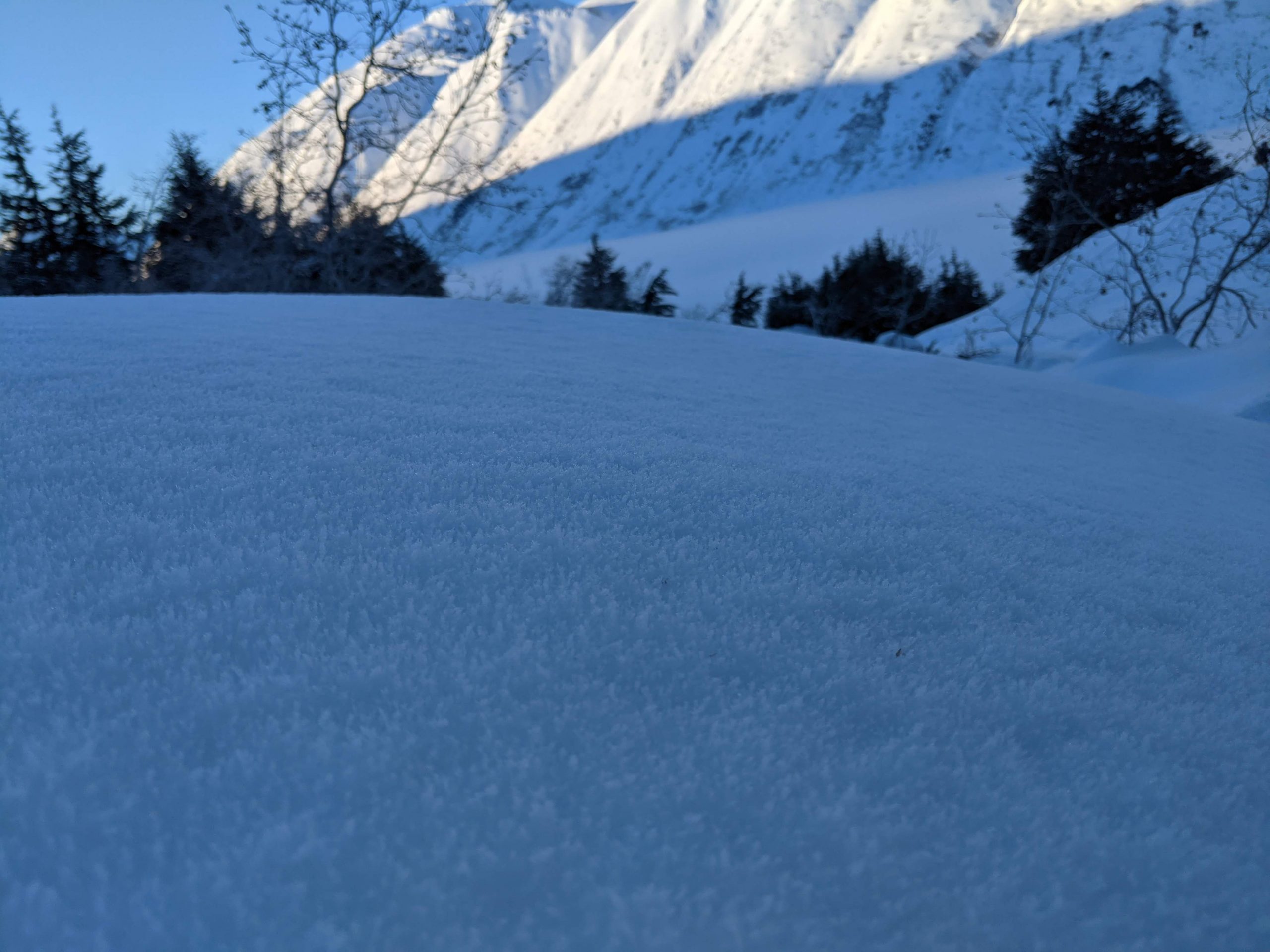
The avalanche danger will rise to MODERATE above 2500′ today, where increased winds could cause fresh wind slabs up to a foot deep to form and be possible for a person to trigger. With a limited amount of snow available for wind transport right now we expect that wind slabs will be relatively small, but due to an icy crust in our upper snowpack they could run far down slope. Keep a look out for active wind transport, hollow feeling snow, and shooting cracks to identify areas with fresh wind slabs.

Below 2500′ the avalanche danger remains LOW where triggering an avalanche is unlikely. If winds increase more than expected and reach down into the treeline elevation band there is potential for fresh wind slabs to form at lower elevations as well.

* Sunday afternoon a large low pressure system is expected to impact our area with up to 30″ of new snow by Monday on top of a weak existing snow surface. Expect avalanche danger to increase rapidly with the onset of heavy snowfall. Natural and human triggered avalanches will become likely and heightened avalanche danger could persist through the week as we expect additional snowfall.

Special Announcements
  • Tuesday, January 11th, 6 – 730pm:  Tune into our first Forecast Chat with John Sykes! He will be interviewing Pascal Haegeli on avalanche risk communication and ways to create a more effective avalanche forecast. Click the link above for more details and to register.
  • ALSO… just after the Forecaster Chat, the Friends group will be announcing the winners of the ‘Membership Giveaway’!! There are still a few days left to become a Friends member and enter to win a pair of skis, airbag pack, or a standby Heli-Ski day. Click HERE!
Sat, January 8th, 2022
Alpine
Above 2,500'
2 - Moderate
Avalanche risk
Treeline
1,000'-2,500'
1 - Low
Avalanche risk
Below Treeline
Below 1,000'
1 - Low
Avalanche risk
0 - No Rating
1 - Low
2 - Moderate
3 - Considerable
4 - High
5 - Extreme
Avalanche risk Avalanche risk Avalanche risk Avalanche risk Avalanche risk
Travel Advice Generally safe avalanche conditions. Watch for unstable snow on isolated terrain features. Heightened avalanche conditions on specific terrain features. Evaluate snow and terrain carefully; identify features of concern. Dangerous avalanche conditions. Careful snowpack evaluation, cautious route-finding, and conservative decision-making essential. Very dangerous avalanche conditions. Travel in avalanche terrain not recommended. Extraordinarily dangerous avalanche conditions. Avoid all avalanche terrain.
Likelihood of Avalanches Natural and human-triggered avalanches unlikely. Natural avalanches unlikely; human-triggered avalanches possible. Natural avalanches possible; human-triggered avalanches likely. Natural avalanches likely; human-triggered avalanches very likely. Natural and human-triggered avalanches certain.
Avalanche Size and Distribution Small avalanches in isolated areas or extreme terrain. Small avalanches in specific areas; or large avalanches in isolated areas. Small avalanches in many areas; or large avalanches in specific areas; or very large avalanches in isolated areas. Large avalanches in many areas; or very large avalanches in specific areas. Very large avalanches in many areas.
Avalanche Problem 1
  • Wind Slabs
    Wind Slabs
  • Certain
    Very Likely
    Likely
    Possible
    Unlikely
    Likelihood
  • Historic (D4-5)
    Very Large (D3)
    Large (D2)
    Small (D1)
    Size
Wind Slabs
Wind Slab avalanches are the release of a cohesive layer of snow (a slab) formed by the wind. Wind typically transports snow from the upwind sides of terrain features and deposits snow on the downwind side. Wind slabs are often smooth and rounded and sometimes sound hollow, and can range from soft to hard. Wind slabs that form over a persistent weak layer (surface hoar, depth hoar, or near-surface facets) may be termed Persistent Slabs or may develop into Persistent Slabs.

Likelihood of Avalanches
Terms such as "unlikely", "likely", and "certain" are used to define the scale, with the chance of triggering or observing avalanches increasing as we move up the scale. For our purposes, "Unlikely" means that few avalanches could be triggered in avalanche terrain and natural avalanches are not expected. "Certain" means that humans will be able to trigger avalanches on many slopes, and natural avalanches are expected.

Size of Avalanches
Avalanche size is defined by the largest potential avalanche, or expected range of sizes related to the problem in question. Assigned size is a qualitative estimate based on the destructive classification system and requires specialists to estimate the harm avalanches may cause to hypothetical objects located in the avalanche track (AAA 2016, CAA 2014). Under this schema, "Small" avalanches are not large enough to bury humans and are relatively harmless unless they carry people over cliffs or through trees or rocks. Moving up the scale, avalanches become "Large" enough to bury, injure, or kill people. "Very Large" avalanches may bury or destroy vehicles or houses, and "Historic" avalanches are massive events capable of altering the landscape.

Signal Word Size (D scale) Simple Descriptor
Small 1 Unlikely to bury a person
Large 2 Can bury a person
Very Large 3 Can destroy a house
Historic 4 & 5 Can destroy part or all of a village
More info at Avalanche.org

Today is the turning point from our last week of cold and stable weather into a new pattern of low pressure systems bringing snowfall and warmer temperatures to our area. A brief period of snowfall this morning could bring 1-3″ of accumulation as well as an increase in wind speeds. There is a fair amount of uncertainty with the weather forecast right now, but our best estimate is that the winds will pick up to 5-25 mph out of the E with gusts possible into the thirties. As of 3 am this morning Sunburst is showing increased winds with hourly averages in the mid teens and gusts into the mid twenties.

With about 3-5″ of loose surface snow currently available, plus whatever new snow falls today, there is potential for fresh wind slabs up to a foot deep to form at upper elevations. Look for active wind transport, hollow feeling snow, and shooting cracks to identify locations where wind slabs are forming. These will likely not be big enough to bury a person today, because we have limited snow available for transport, but since they are forming on top of a shallowly buried ice crust they could be quite reactive and run further down the slope than expected.

Dry Loose Avalanches – The 3-5″ of loose surface snow that we currently have has been turning to facets during the cold temperatures this week and can create dry loose avalanches on top of the ice crust in steep terrain.

Our bigger concern is a large low pressure system moving into the area tomorrow afternoon that could drop up to 30″ of snowfall from Sunday through Monday. This new load will be falling on top of a weak snow surface composed of surface hoar and near surface facets on top of a crust. We expect that the rapid addition of a new snow load will cause widespread avalanches in the storm snow and will take time to bond to our existing snow surface. Stay tuned for updates on the timing and snowfall amounts for this next storm and try to mentally prepare yourself to rein in the stoke for new snow and give the snowpack some time to adjust to this new load before stepping into steep terrain.

Combination of surface hoar and near surface facets over a crust could make for very reactive conditions when we get our next dump of new snow tomorrow afternoon. Photo 1.7.22

Snowfall estimates for our region from Sunday morning through Monday morning. Expected storm totals of 24-30″ for Turnagain Pass, 18-24″ for Girdwood, and 12-18″ for Summit Lake. Graphic courtesy of NWS Anchorage 1.7.22


Weather
Sat, January 8th, 2022

Yesterday: It looks like yesterday was our last day of stable clear and cold weather for awhile. There was a strong inversion, with temperatures down to -10 F at valley bottoms and up to 20 F at ridge tops. Winds were mostly light during the day, but picked up to 10 to 15 mph overnight, with gusts into the mid 20s.

Today: A new regime of low pressure systems combined with snowfall and high winds is starting to move into the area today. A wave of snowfall will move through our area this morning with the potential for 1-3″ of accumulation. An increase in wind speeds will accompany that snow, ranging from 5-25 mph with gusts possible into the thirties. Temperatures should remain cold today staying in the 5 to 15 F range.

Tomorrow: A large low pressure system with the potential for sustained heavy snowfall will move into the area tomorrow midday. Current estimates are for 24-30″ of snowfall in Turnagain Pass, 18-24″ in Girdwood, and 12-18″ in Summit Lake starting on Sunday afternoon through Monday. Temperatures will be rising during that period with snow line moving up to about 800 ft overnight on Monday. Strong winds up to 40 mph are forecast during the period of heavy precipitation.

PRECIPITATION 24-hour data (6am – 6am)

Temp Avg (F) Snow (in) Water (in) Snow Depth (in)
Center Ridge (1880′) 8 0 0 63
Summit Lake (1400′) -7 0 0 22
Alyeska Mid (1700′) 5 0 0 38

RIDGETOP 24-hour data (6am – 6am)

Temp Avg (F) Wind Dir Wind Avg (mph) Wind Gust (mph)
Sunburst (3812′) 12 E 8 26
Seattle Ridge (2400′) 11 E 7 13
Observations
Recent Observations for Turnagain Pass
Date Region Location
04/21/24 Turnagain Observation: Bertha Creek
04/20/24 Turnagain Avalanche: Spokane Creek
04/16/24 Turnagain Observation: Cornbiscuit
04/15/24 Turnagain Observation: Taylor Pass
04/15/24 Turnagain Observation: Seward Highway – Tern Lake to Portage
04/14/24 Turnagain Observation: Sunburst
04/14/24 Turnagain Observation: Turnagain Pass Snomo
04/13/24 Turnagain Observation: Spokane Creek
04/11/24 Turnagain Observation: Tincan
04/10/24 Turnagain Avalanche: Seattle Ridge
Riding Areas

The riding areas page has moved. Please click here & update your bookmarks.


Subscribe to Turnagain Pass
Avalanche Forecast by Email

This is a general backcountry avalanche advisory issued for Turnagain Arm with Turnagain Pass as the core advisory area. This advisory does not apply to highways, railroads or operating ski areas.