Although many people are skiing and riding steep terrain without incident, the possibility of triggering a large avalanche remains due to buried weak layer. Surface hoar and faceted snow that formed just before the Solstice is now buried 1-3′ deep and has proven reactive in the 3 snowmachine triggered avalanches in Main Bowl Friday and in some snow pits across the region. This is also the suspected weak layer in the reported human triggered avalanche in Summit Lake yesterday. This is out of the advisory area but is a popular spot to recreate and the snowpack is generally shallower. Conditions often can be very similar in Lynx Creek and around the Silvertip, Twin Peaks zone. This lingering possibility of triggering a large avalanche should be part of how you plan your day in the mountains. Ease into steeper terrain, think about slopes as avalanche paths and imagine where the snow would end up if it did slide. The consequences of being deeply buried in a terrain trap should be a consideration. There is a supportable crust from the New Years Day rain up to 2300′-2500′. Triggering an avalanche is possible where the crust is very thin and then up in elevation from there. There is very stiff snow (slab) over the buried weak layer and that is covered by the soft snow from New Years. Signs of instability will mostly likely not be present at this point and it might not be the first person on the slope that triggers the avalanche. There were previous tracks on the slope in two of the Main Bowl avalanches Friday.

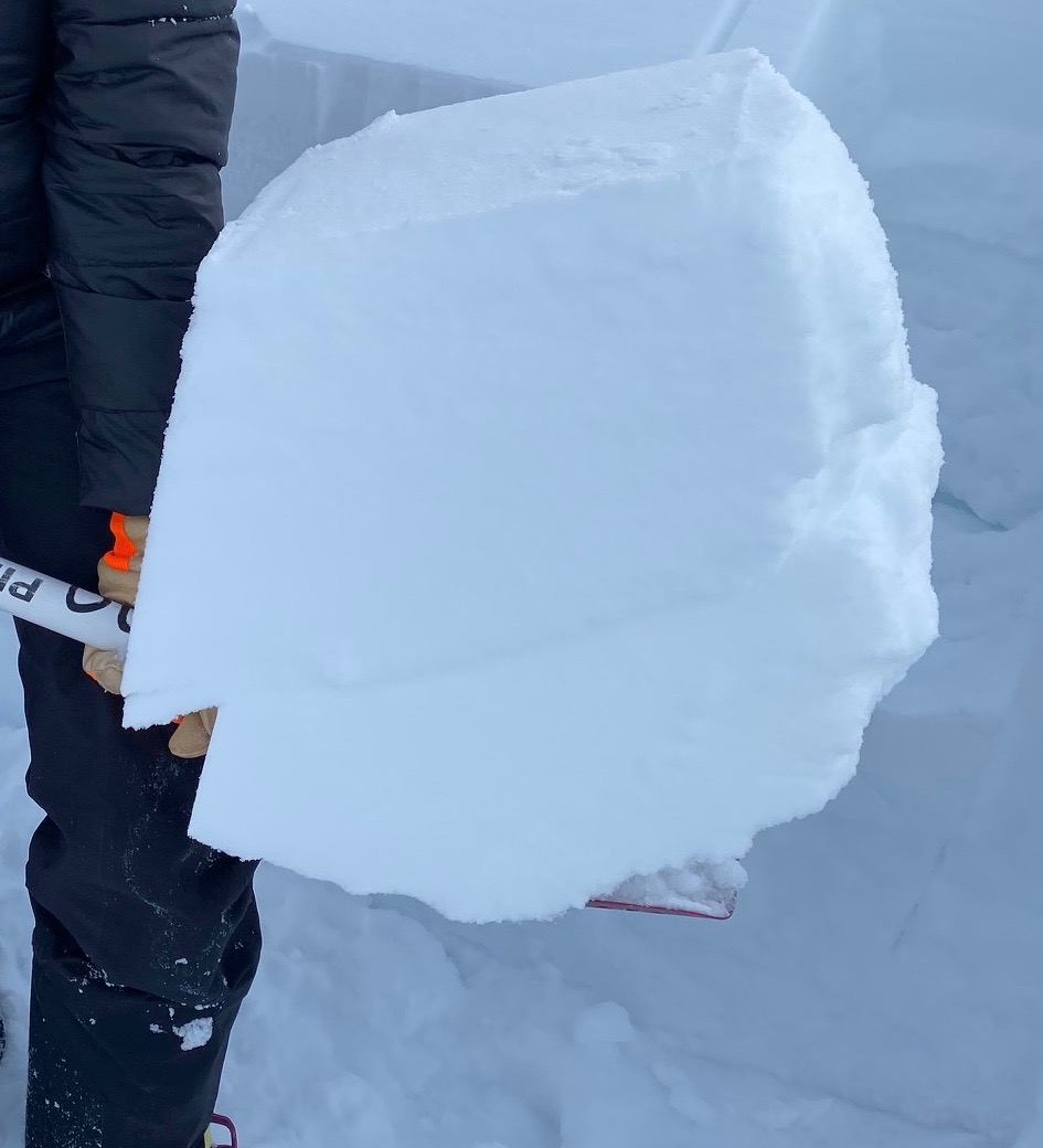
The Solstice buried surface hoar layer found in a pit on Eddies at 2500′ yesterday, 1.4.20. Here it was found just over a foot down.

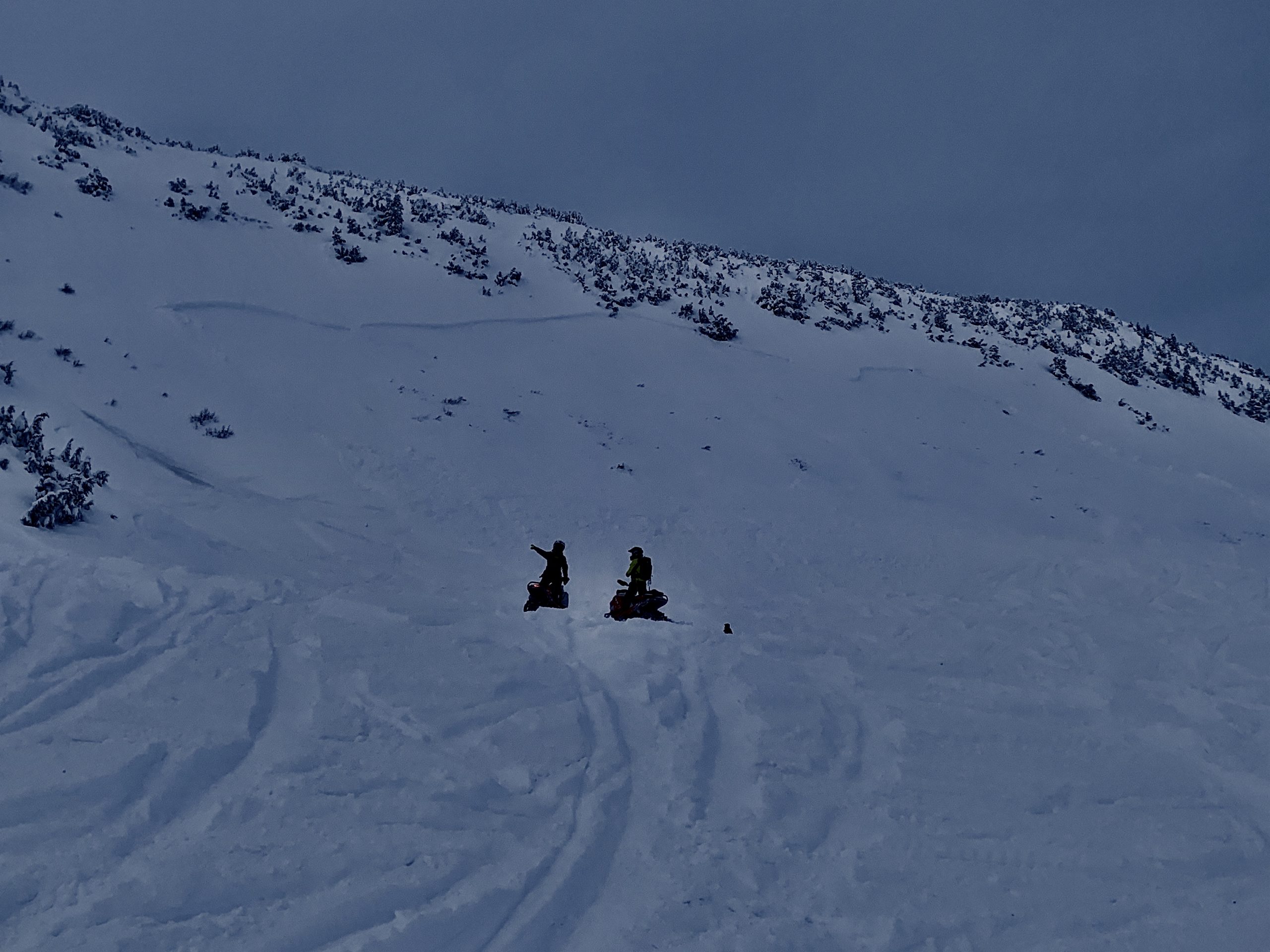
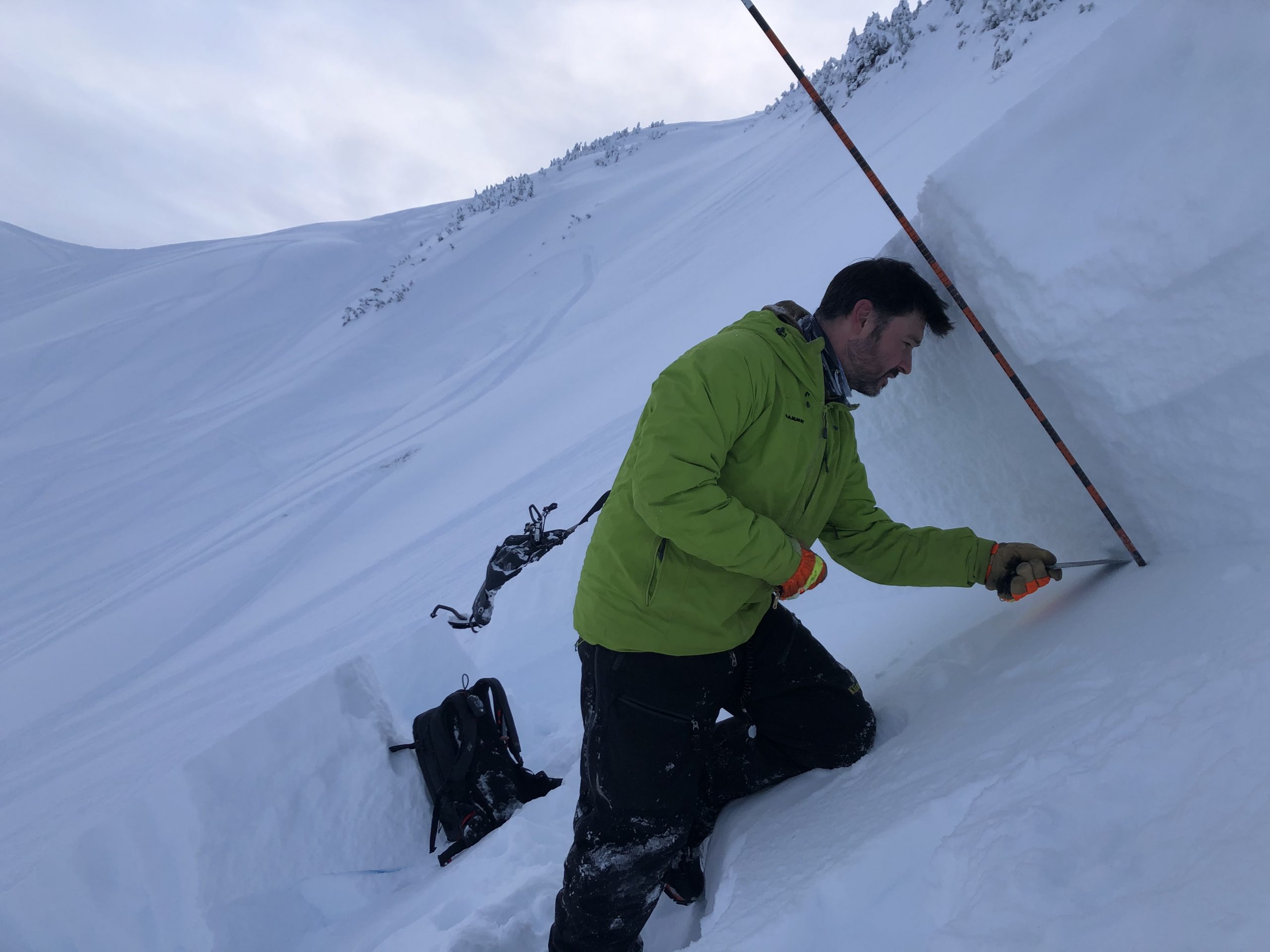
G. Predeger investigates the buried surface hoar in the crown of the snowmachine triggered avalanche in Main Bowl, Turnagain Pass. Here the weak layer was buried 2-3′ deep. 1.3.20. Photo: Chris Yelverton