| Trigger | Natural | Remote Trigger | 0 |
| Avalanche Type | Unknown | Aspect | Unknown |
| Elevation | unknown | Slope Angle | unknown |
| Crown Depth | unknown | Width | unknown |
| Vertical Run | unknown |
Avalanche: Summit
Location: Summit Road Observation
Road obs from Johnson Pass pullout to Gilpatricks in Summit Area. This zone appears far more wind impacted than Turnagain with stripping down to rock, especially on NE aspects. Several small and large natural avalanches observed.
Below is a photo of recent activity on a South aspect of Fresno Ridge as seen from Tenderfoot. Click Here for an observation from Tenderfoot from today (3/11/18.)
Obvious signs of instability
| Recent Avalanches? | Yes |
| Collapsing (Whumphing)? | No |
| Cracking (Shooting cracks)? | No |
Observer Comments
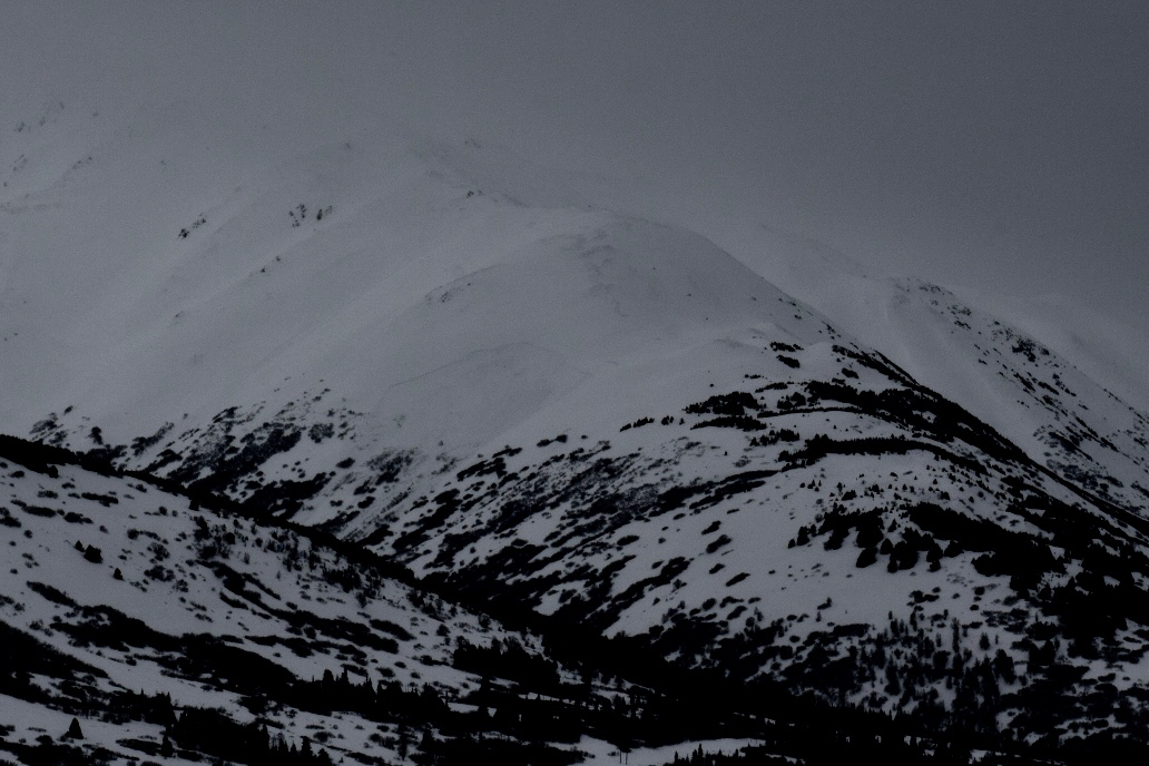
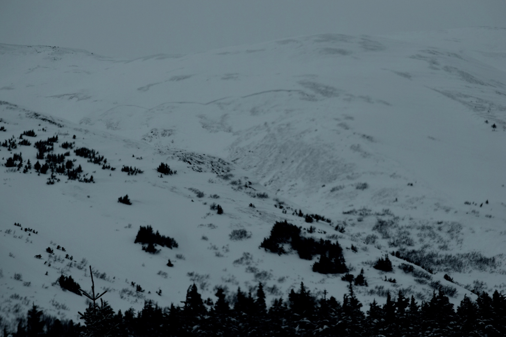
Large natural avalanche on NE aspect above treeline between Silvertip and Moose Mountain. Several small to large natural avalanches at and above treeline on SE aspects between Silvertip and Moose Mountain. These occurred in a heavily cross loaded area.
Large crown and natural avalanche seen from Hope Y Junction on what I believe is Nelson Mountain.
Small natural avalanche on South end of Summit on East side of road.
Three large natural avalanches on S aspect of Fresno above treeline
Weather
Overcast and no precipitation
Snow surface
NA
Snowpack
NA
Large natural avalanche on NE aspect between Silvertip and Moose mountain.
Large natural avalanche shown above, next to small and large avalanches on SE aspect near treeline between Silvertip and Moose mountain. This area was heavily cross-loaded.
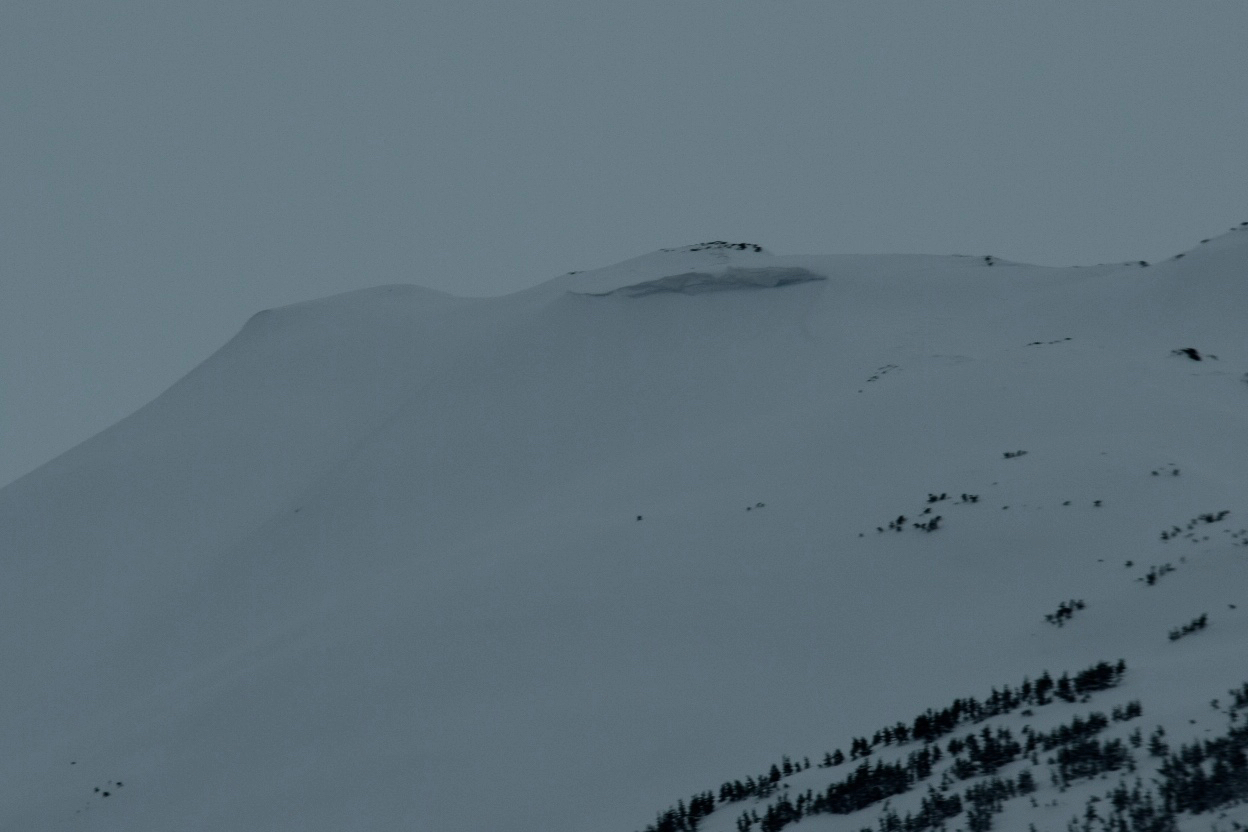
Large crown and avalanche on what I believe is Nelson Mtn near the Hope Y Junction

Small natural avalanche near ridgeline on E side of road on S end of Summit Area

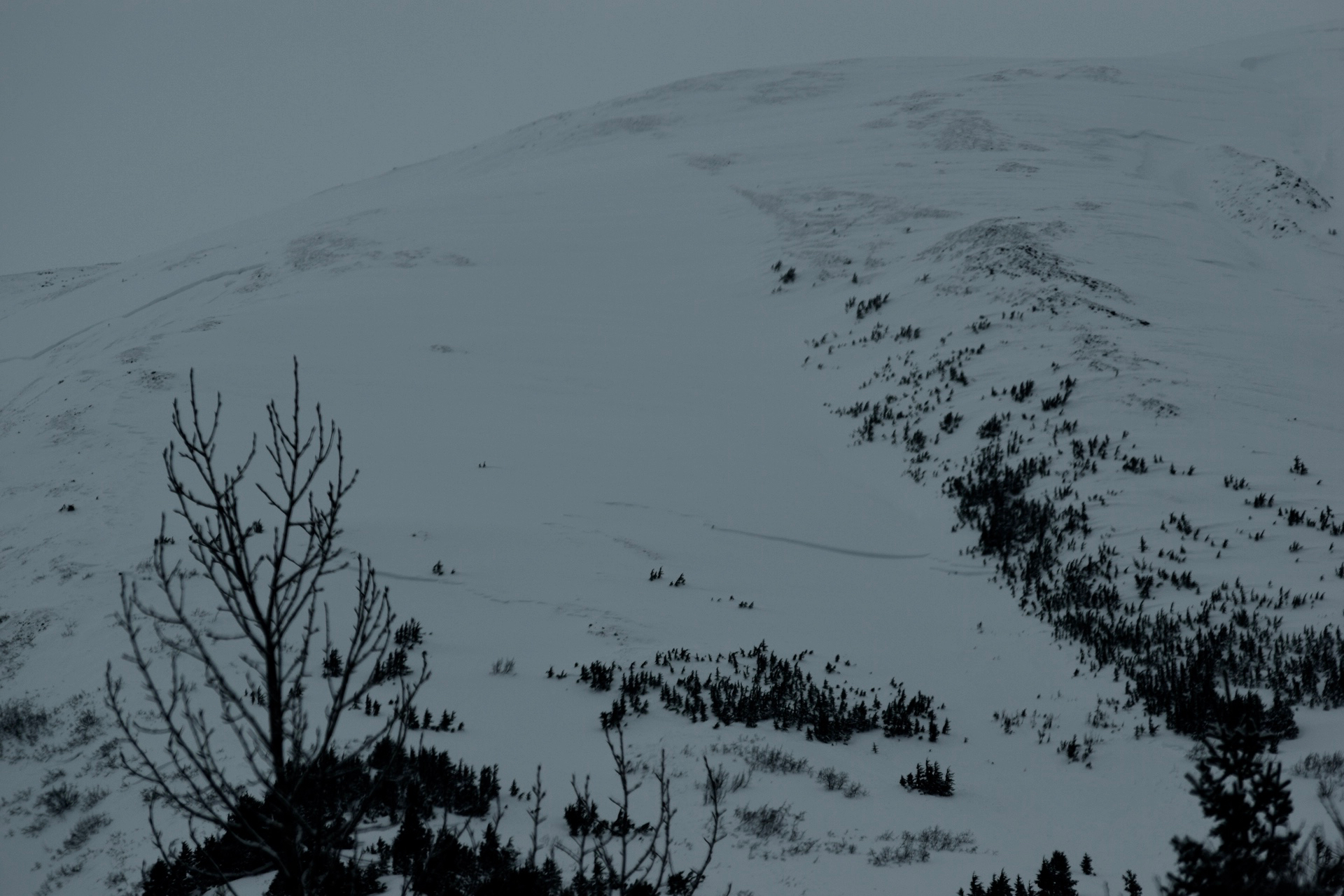
Heavy wind effect on Moose mountain.

Wind stripped NE aspect of John mountain on S end of Summit Area