Turnagain Pass RSS

Archives
ARCHIVED - Forecasts expire after 24 hours.
Issued
Tue, December 20th, 2016 - 7:00AM
Expires
Wed, December 21st, 2016 - 7:00AM
Forecaster
Heather Thamm
Avalanche risk The Bottom Line

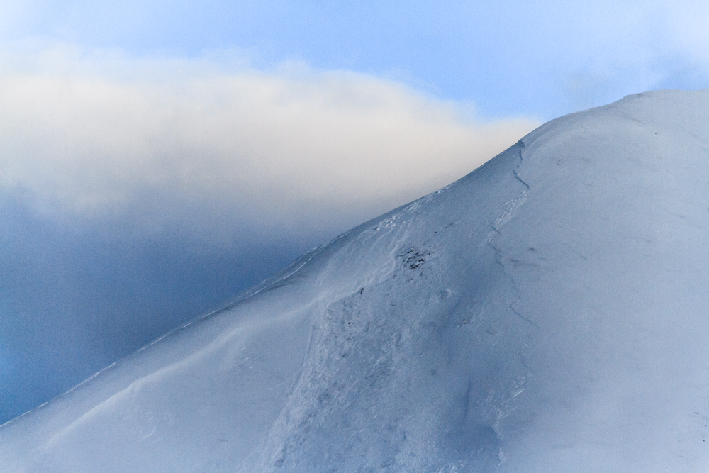
There is a CONSIDERABLE avalanche danger above treeline surrounding Turnagain Pass, Girdwood Valley and Summit Lake on the Kenai. A 1-2′ slab is sitting on weak unstable snow where human triggered avalanches are likely on steep slopes in the alpine, above 2000′. Careful snowpack evaluation, cautious route finding and conservative decision-making are essential in all areas above the trees today.  

A MODERATE avalanche danger remains in the trees and lower elevations where triggering fast moving sluff or a 12 € slab is possible on steep terrain features. Remember to avoid terrain traps where an avalanche of any size could have high consiqences.  

Special Announcements

Join CNFAIC Forecaster Aleph Johnston-Bloom for a discussion on the Turnagain Pass snowpack  TONIGHT at Blue and Gold Boardshop in Anchorage from 7pm-8:30pm.  Learn about  how this season’s snowpack has developed and what can we expect for the holidays.  

***Carter Lake and Snug Harbor areas are open to motorized use starting today, Tuesday Dec. 20th. Please respect other closures across the Forest. The Forest Service is monitoring conditions daily and will open more areas just as soon as there is enough snow to prevent resource damage to underlying vegetation. Thanks for your patience!  

OUTSIDE AREAS: Recent snowfall has created dangerous avalanche conditions around Southcentral and Interior, Alaska. Keep this in mind if you are headed to Snug Harbor and Carter today and please send in an observation if you see any obvious signs of instability. Check out these avalanche observations from Hatcher Pass and Petersville  region  where recent avalanche activity was observed over the weekend.

Tue, December 20th, 2016
Alpine
Above 2,500'
3 - Considerable
Avalanche risk
Treeline
1,000'-2,500'
2 - Moderate
Avalanche risk
Below Treeline
Below 1,000'
2 - Moderate
Avalanche risk
0 - No Rating
1 - Low
2 - Moderate
3 - Considerable
4 - High
5 - Extreme
Avalanche risk Avalanche risk Avalanche risk Avalanche risk Avalanche risk
Travel Advice Generally safe avalanche conditions. Watch for unstable snow on isolated terrain features. Heightened avalanche conditions on specific terrain features. Evaluate snow and terrain carefully; identify features of concern. Dangerous avalanche conditions. Careful snowpack evaluation, cautious route-finding, and conservative decision-making essential. Very dangerous avalanche conditions. Travel in avalanche terrain not recommended. Extraordinarily dangerous avalanche conditions. Avoid all avalanche terrain.
Likelihood of Avalanches Natural and human-triggered avalanches unlikely. Natural avalanches unlikely; human-triggered avalanches possible. Natural avalanches possible; human-triggered avalanches likely. Natural avalanches likely; human-triggered avalanches very likely. Natural and human-triggered avalanches certain.
Avalanche Size and Distribution Small avalanches in isolated areas or extreme terrain. Small avalanches in specific areas; or large avalanches in isolated areas. Small avalanches in many areas; or large avalanches in specific areas; or very large avalanches in isolated areas. Large avalanches in many areas; or very large avalanches in specific areas. Very large avalanches in many areas.
Avalanche Problem 1
  • Persistent Slabs
    Persistent Slabs
Persistent Slabs
Persistent Slab avalanches are the release of a cohesive layer of snow (a slab) in the middle to upper snowpack, when the bond to an underlying persistent weak layer breaks. Persistent layers include: surface hoar, depth hoar, near-surface facets, or faceted snow. Persistent weak layers can continue to produce avalanches for days, weeks or even months, making them especially dangerous and tricky. As additional snow and wind events build a thicker slab on top of the persistent weak layer, this avalanche problem may develop into a Deep Persistent Slab.
More info at Avalanche.org

A touchy snowpack was observed over the weekend as 12”-14” of new snow fell incrementally over a four-day period in Girdwood, Turnagain Pass and Summit Lake. This new snow arrived with moderate to strong Easterly ridgetop winds, which have redistributed the snow above treeline creating varying slab depths 1-2 feet thick. Several weak layers are sitting below this slab and are suspect right now in the alpine. A widespread layer of weak faceted snow remains our primary layer of concern and was the culprit in many skier triggered avalanches over the weekend. Yesterday an observation from Sunburst showed propagation potential on a layer of buried surface hoar (buried Dec.15th) which is sitting on a wind hardened bed surface along some ridgelines. 

Approach your day with a cautious mind-set and be skeptical of all avalanche terrain (slopes steeper than 30 degrees) in the upper elevations. Obvious signs like cracking, wumpfing sounds, or recent avalanche activity are an immediate sign that the snow is unstable. However you may not see these signs until its too late, so remember our current poor snowpack structure is considered guilty until proven innocent. If you find yourself being tempted into bigger terrain this week keep your consiquences in mind:

  • Small terrain = small avalanches = relatively manageable
  • Larger terrain = larger avalanches = unmanageable

A handful of human triggered avalanches occured mid-storm on Sunday 12-18 on Tincan and Eddies. Slab depths are now thicker (12-20″) since the storm subsided and triggering this layer will take more force and could break unexpectedly once onto the slope.   


If headed to Summit Lake on the Kenai natural avalanche activity and skier triggered avalanches were observed over the weekend. Check out this observation from Tenderfoot where touchy wind slabs are sitting on a very thin and weak foundation. Photo of Butch Mountain (SW aspect) taken on Dec.17 by Mike Ausman.


Avalanche Problem 2
  • Cornice
    Cornice
Cornice
Cornice Fall is the release of an overhanging mass of snow that forms as the wind moves snow over a sharp terrain feature, such as a ridge, and deposits snow on the downwind (leeward) side. Cornices range in size from small wind drifts of soft snow to large overhangs of hard snow that are 30 feet (10 meters) or taller. They can break off the terrain suddenly and pull back onto the ridge top and catch people by surprise even on the flat ground above the slope. Even small cornices can have enough mass to be destructive and deadly. Cornice Fall can entrain loose surface snow or trigger slab avalanches.
More info at Avalanche.org

Expect cornices to be sensitive and easy to break off. They are also likely to trigger a slab avalanche below. If you choose to walk a ridgeline today, give these a wide berth and be aware of people below you

Additional Concern
  • Dry Loose
    Dry Loose
Dry Loose
Dry Loose avalanches are the release of dry unconsolidated snow and typically occur within layers of soft snow near the surface of the snowpack. These avalanches start at a point and entrain snow as they move downhill, forming a fan-shaped avalanche. Other names for loose-dry avalanches include point-release avalanches or sluffs.
More info at Avalanche.org

“Sluff” may be fast moving on steep terrain features where the snow is loose and unconsolidated like in the trees. Be aware of terrain features that could have high consequence if knocked off your feet.

Weather
Tue, December 20th, 2016

Snow showers yesterday brought 1-2 € of new snow throughout the day. Easterly winds were light and temperatures averaged in the low to mid 20Fs. Overnight temperature dropped into the teens and winds were calm.

Today expect mostly cloudy skies and scattered snow showers. A chance of 1-3 € of snow is possible. Winds are expected to be light and temperatures in the mid to low 20F’s.

A clearing trend is in the forecast for the next few days bringing cooler temperatures (teens and single digits F) and the possibility of gap winds for the Eastern Kenai Mountains.

PRECIPITATION 24-hour data (6am – 6am)

  Temp Avg (F) Snow (in) Water (in) Snow Depth (in)
Center Ridge (1880′) 25   1   .1   29  
Summit Lake (1400′) 18   2   .2   9  
Alyeska Mid (1700′) 27   trace    .08 19  

RIDGETOP 24-hour data (6am – 6am)

  Temp Avg (F) Wind Dir Wind Avg (mph) Wind Gust (mph)
Sunburst (3812′) 20   ENE   4   19  
Seattle Ridge (2400′) 23   ESE   3    9
Observations
Recent Observations for Turnagain Pass
Date Region Location
04/21/24 Turnagain Observation: Bertha Creek
04/20/24 Turnagain Avalanche: Spokane Creek
04/16/24 Turnagain Observation: Cornbiscuit
04/15/24 Turnagain Observation: Taylor Pass
04/15/24 Turnagain Observation: Seward Highway – Tern Lake to Portage
04/14/24 Turnagain Observation: Sunburst
04/14/24 Turnagain Observation: Turnagain Pass Snomo
04/13/24 Turnagain Observation: Spokane Creek
04/11/24 Turnagain Observation: Tincan
04/10/24 Turnagain Avalanche: Seattle Ridge
Riding Areas

The riding areas page has moved. Please click here & update your bookmarks.


Subscribe to Turnagain Pass
Avalanche Forecast by Email

This is a general backcountry avalanche advisory issued for Turnagain Arm with Turnagain Pass as the core advisory area. This advisory does not apply to highways, railroads or operating ski areas.