The region has picked up 6″ to a foot of new snow in the last 24 hrs. The winds were easterly and sustained 10-20 mph with gusts into the 40s. Today a few more inches of snow are forecast to fall. The winds have shifted to the west/northwest and look to be strong enough to transport snow until this evening. Expect wind slabs on steep leeward slopes and in gully features exposed to the wind to be easily triggered by the weight of a person. Because of the continued active loading there is also a chance of natural avalanches today. Be mindful of the terrain above you. The new snow covered a layer of surface hoar and there is another buried layer a few inches deeper. These both have the potential to be reactive especially as the slab above becomes more cohesive with wind effect. Choose terrain carefully and look for signs of instability. What happens when you are breaking trail or if you step off the skin track? Cracking? Whumpfing?
Loose Snow Avalanches and Storm Slabs: On protected steep slopes watch for sluffing and/or small storm slabs. Does the snow seem light and fluffy and move with you or does the recent snow seem slightly stiffer than the snow below and start cracking? How well is the new snow bonding to the snow below? Hand pits and riding very small test slopes are a good way to look for storm slabs.
Cornices: Active wind transport will also make cornices larger, increase the chance of natural cornice falls and the potential to trigger them if you get too close. The shifting wind direction may also make new cornices in the opposite direction and make ridgeline travel more complex. Pay attention to loading patterns.
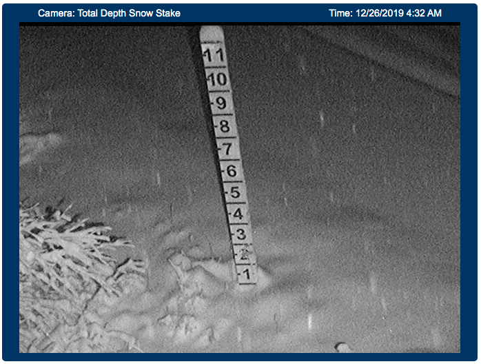
Snow piling up at road level on Turnagain Pass.
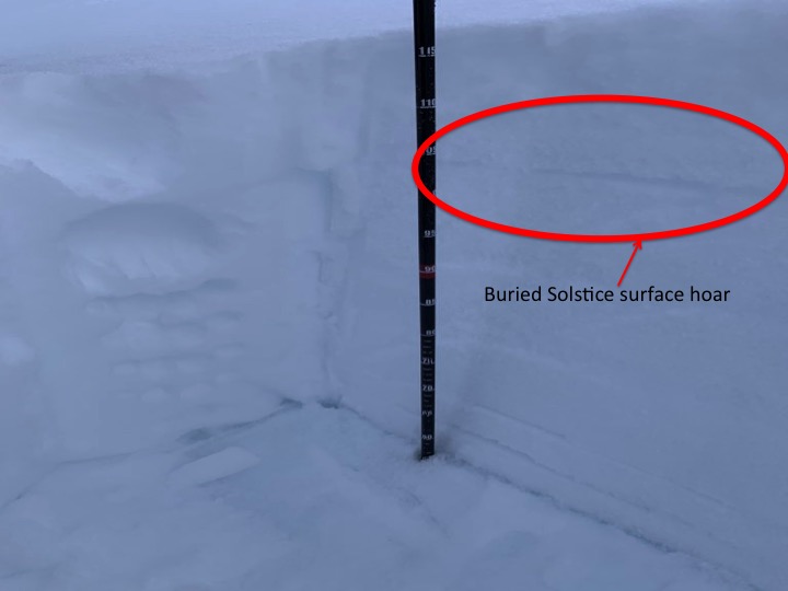
Buried Solstice surface hoar in a pit at 2100′ on Seattle Ridge, 12.24.19. Photo: Trip Kinney.

Obscured skies and gusty winds on Tincan yesterday, 12.25.19. Photo: Kakiko Ramos-Leon

