The danger will rise to MODERATE above 2500′ as winds increase this afternoon with a weak system that is expected to bring 1-4″ snow to the area. It will be possible to trigger wind slab avalanches 6-12″ thick, which might be getting big enough to bury a person. Pay attention to changing conditions as the weather gets a little more active today, and stick to protected slopes if you start to notice blowing snow in the alpine. The danger will remain LOW below 2500′.
Special Announcements
Forecaster Chat #1: Come join us at Alaska Mountaineering and Hiking on Thursday, December 15th for our first forecaster chat with John Sykes. Admission is free! Start time roughly 7pm, exact time TBD. The forecaster chat will focus on how to streamline submitting high quality observations and a discussion on decision-making in unusual conditions.
Mon, December 5th, 2022
Alpine
Above 2,500'
2 - Moderate
Treeline
1,000'-2,500'
1 - Low
Below Treeline
Below 1,000'
1 - Low
0 - No Rating
1 - Low
2 - Moderate
3 - Considerable
4 - High
5 - Extreme
Travel Advice
Generally safe avalanche conditions. Watch for unstable snow on isolated terrain features.
Heightened avalanche conditions on specific terrain features. Evaluate snow and terrain carefully; identify features of concern.
Natural avalanches likely; human-triggered avalanches very likely.
Natural and human-triggered avalanches certain.
Avalanche Size and Distribution
Small avalanches in isolated areas or extreme terrain.
Small avalanches in specific areas; or large avalanches in isolated areas.
Small avalanches in many areas; or large avalanches in specific areas; or very large avalanches in isolated areas.
Large avalanches in many areas; or very large avalanches in specific areas.
Very large avalanches in many areas.
Recent Avalanches
The last known avalanches were small wind slab avalanches that released during the outflow winds 9 days ago.
Avalanche Problem 1
Wind Slabs
Aspect/Elevation
Certain
Very Likely
Likely
Possible
Unlikely
Likelihood
Historic (D4-5)
Very Large (D3)
Large (D2)
Small (D1)
Size
Wind Slabs
Wind Slab avalanches are the release of a cohesive layer of snow (a slab) formed by the wind. Wind typically transports snow from the upwind sides of terrain features and deposits snow on the downwind side. Wind slabs are often smooth and rounded and sometimes sound hollow, and can range from soft to hard. Wind slabs that form over a persistent weak layer (surface hoar, depth hoar, or near-surface facets) may be termed Persistent Slabs or may develop into Persistent Slabs.
Aspect/Elevation of the Avalanche Problem
Specialists develop a graphic representation of the potential distribution of a particular avalanche problem across the topography.
This aspect/elevation rose is used to indicate where the particular avalanche problem is thought to exist on all elevation aspects.
Areas where the avalanche problem is thought to exist are colored grey, and it is less likely to be encountered in areas colored white.
Likelihood of Avalanches
Terms such as "unlikely", "likely", and "certain" are used to define the scale, with the chance of triggering or observing
avalanches increasing as we move up the scale. For our purposes, "Unlikely" means that few avalanches could be triggered in avalanche terrain and
natural avalanches are not expected. "Certain" means that humans will be able to trigger avalanches on many slopes, and natural avalanches are expected.
Size of Avalanches
Avalanche size is defined by the largest potential avalanche, or expected range of sizes related to the problem in question.
Assigned size is a qualitative estimate based on the destructive classification system and requires specialists to estimate the harm avalanches may cause to
hypothetical objects located in the avalanche track (AAA 2016, CAA 2014). Under this schema, "Small" avalanches are not large enough to bury humans and are
relatively harmless unless they carry people over cliffs or through trees or rocks. Moving up the scale, avalanches become "Large" enough to bury, injure,
or kill people. "Very Large" avalanches may bury or destroy vehicles or houses, and "Historic" avalanches are massive events capable of altering the landscape.
It is looking like we are returning to a more active weather pattern this week, starting with a quick pulse today that will likely bring 1-4″ snow with southerly winds getting up to 10-20 mph in the alpine. While this light system will not be enough to produce a widespread avalanche cycle, it will be possible to trigger an avalanche on wind-loaded slopes in the alpine. After over a week of clear skies, there is faceted snow on the surface on most slopes. As this weak snow gets buried today the chances of triggering an avalanche will increase. These may be getting big enough to bury a person by this afternoon.
If you are planning on getting out today, be sure to pay attention to changing conditions and increasing danger as the weather picks up. The most likely place to run into trouble will be in steep, high elevation terrain just below ridgelines, on convex rolls, or in steep gullies. Take a minute to step off the skin track to see how conditions are changing. If you feel a layer of dense, stiffer snow on the surface sitting on top of softer snow, you’ve found a wind slab. Watch out for warning signs of unstable snow like cracks shooting out from your feet, or collapsing. For elevations at and below treeline, it is unlikely the wind will pick up enough to increase the avalanche danger.
For those of you that have been following along with the advisories this season, those deeper persistent weak layers that we have been talking about for the past few weeks are still present. The good news is that they are gaining strength, and for now, it is unlikely this light load today will add enough stress to the snowpack to impact them.
Dry Loose Avalanches (Sluffs): In areas that have remained protected from recent winds, it will be easy to trigger dry loose avalanches in steep terrain. It is unlikely these avalanches will get big enough to bury a person, but they can become dangerous in high-consequence terrain.
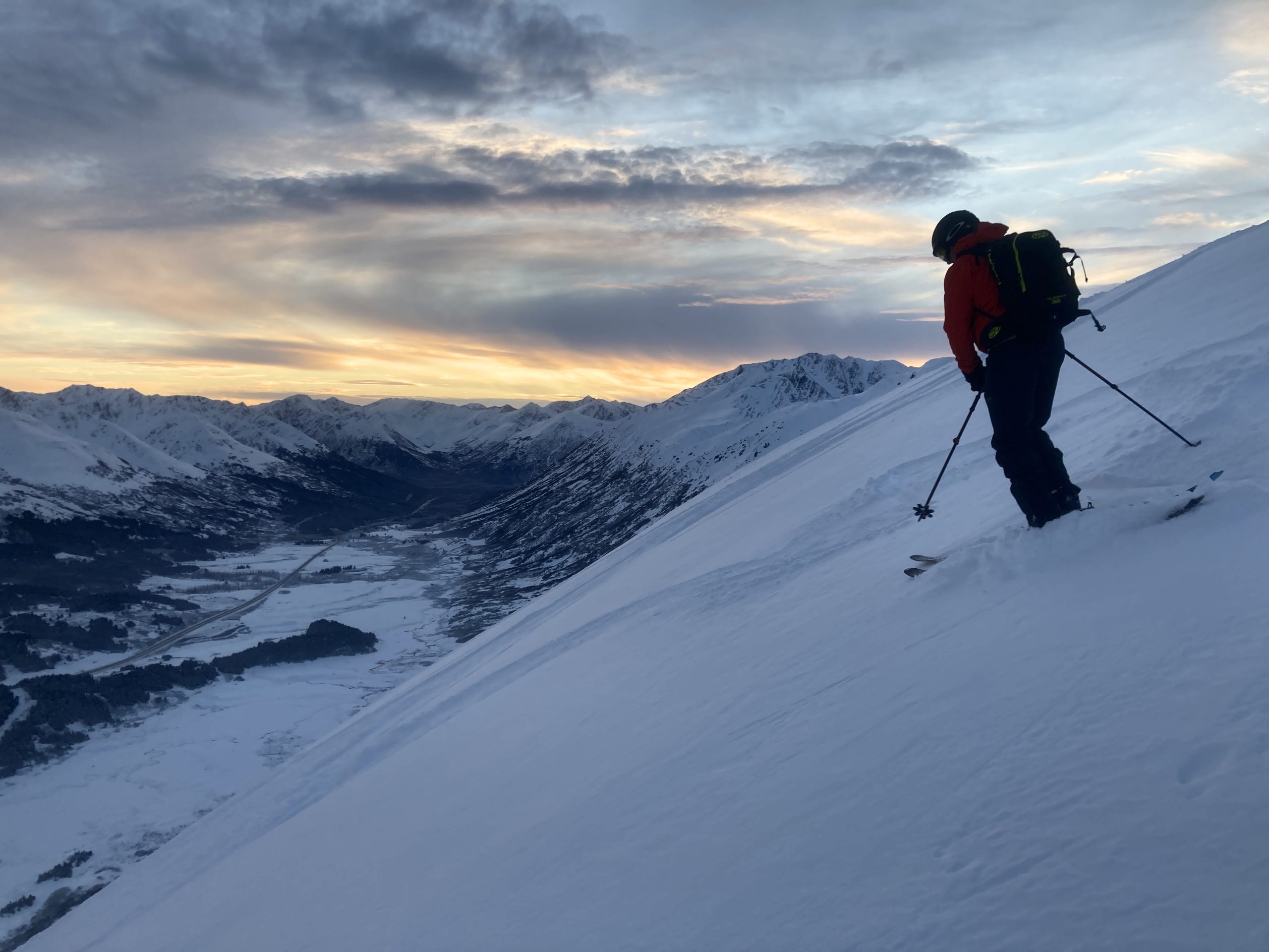
Yesterday’s recycled powder will turn into today’s weak layer. The faceted snow that has been skiing well for the past few days will start getting buried today, making for reactive wind slabs as the weather picks up. Photo from Seattle Ridge, 12.03.2022
Click here if the video below does not load in your browser.
Weather
Mon, December 5th, 2022
Yesterday: We had a pretty strong temperature inversion yesterday, with temperatures in the single digits to low teens F in the valleys, and reaching the upper 20’s to low 30’s near ridgelines. There were some high altitude clouds and winds were light out of variable directions.
Today: Things should get a little more active today as a weak system moves in. We should see 1-4″ snow for our forecast zone, with Girdwood seeing a little bit more than Turnagain Pass. The rain level will start as high as 1600′, but it is looking to drop quickly as precipitation picks up. Southerly winds will get up to 10-20 mph in the alpine, with temperatures in the upper 20’s to low 30’s F during the day and in the low 20’s overnight.
Tomorrow: A second round of precipitation is on the way for tomorrow, with another 3-5″ expected starting later Tuesday through Tuesday night. Winds should stay around 10-15 mph and switch to a more easterly direction as precipitation picks up. Skies should remain mostly cloudy through tomorrow night. Temperatures should stay in the 20’s F tomorrow, and it is looking like the snow line will drop to sea level.
This is a general backcountry avalanche advisory issued for Turnagain Arm with Turnagain Pass as the core advisory area.
This advisory does not apply to highways, railroads or operating ski areas.