Turnagain Pass Avalanche Forecast
|
![]() ![]() |
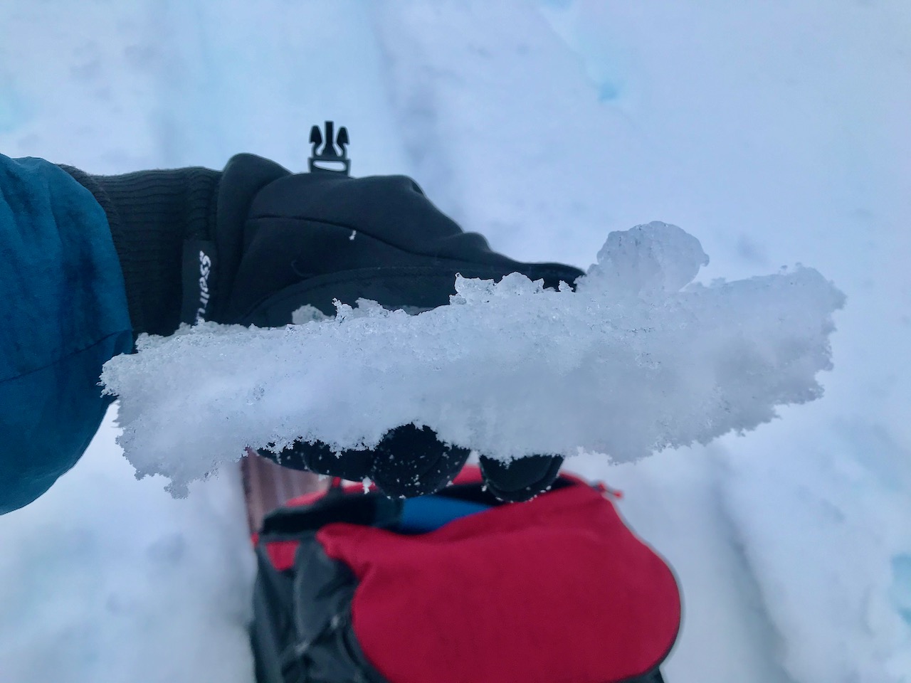
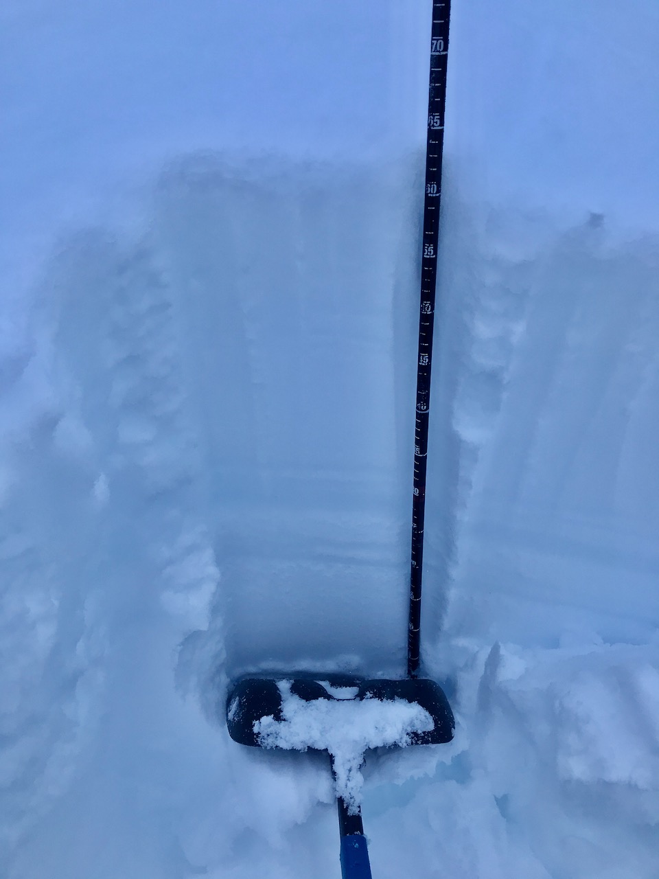
The avalanche danger is MODERATE above 1000′. Human triggered wind slabs and cornice falls are possible on steep, leeward slopes just off of ridge-lines and in cross-loaded gullies. In addition, in the Alpine (above 2500′), there is a lingering chance of triggering a deep slab avalanche on the weak snow at base of the snowpack. Look for signs of obvious wind effect and choose terrain carefully.
Below 1000′ the avalanche danger is LOW.
SUMMIT LAKE: The snowpack is generally thinner and weaker in the Summit Lake region. In steep Alpine terrain it may be easier to trigger an avalanche on a mid-pack buried weak layer or near the ground. Extra caution is advised.
Signal Word | Size (D scale) | Simple Descriptor |
Small | 1 | Unlikely to bury a person |
Large | 2 | Can bury a person |
Very Large | 3 | Can destroy a house |
Historic | 4 & 5 | Can destroy part or all of a village |
Paying attention to wind effect, from the strong winds during this last storm, is important if you are heading out into terrain above 2500′. In this elevation band, where the storm precipitation stayed all snow, look for cracking, collapsing and slopes that have stiff snow over soft snow. These are all signs of wind slab potential. The farther we get from the loading event these slabs may be more stubborn. Steep, unsupported slopes in leeward terrain and cross-loaded gullies will be the most suspect. Even a small wind slab in steep terrain can take you for a bad ride on skis or knock you off your machine in the wrong spot. In addition, give cornices a wide berth. These have gotten bigger and can break much farther back than expected. As you venture farther afield as skies clear it is prudent to ease into terrain, use safe travel protocol and look for signs of instability.
During this last warm, windy, wet storm the rain/snow line went as high as 2500′. Observers noted wet snow, rain runnels, saturated layers in the snowpack and surface crusts forming yesterday. As temperatures cool these crusts will become more stout and snowpack should continue to lockup, especially in the lower elevations. There are a couple of inches of new snow that fell yesterday on top of the crusts. As skies clear expect this snow to facet and potentially become our next weak layer. Stay tuned…
Signal Word | Size (D scale) | Simple Descriptor |
Small | 1 | Unlikely to bury a person |
Large | 2 | Can bury a person |
Very Large | 3 | Can destroy a house |
Historic | 4 & 5 | Can destroy part or all of a village |
As visibility improves, folks will undoubtably get into more terrain. Keep in mind that in the Alpine (above 2500′), where the snow stayed dry, there is still a chance of triggering a slab that fails 4-6+ feet deep on the buried weak snow (that formed in October) at the bottom of the snowpack. The likelihood has significantly decreased but the concern is lingering, especially on the southern end of the pass and in the Summit Lake area where the overall snowpack is shallower. The consequences of hitting the wrong spot are not to be taken lightly. As always it is important to use good travel protocol. Expose one person at a time, avoid terrain traps and look at slopes as avalanche paths. If the slope does slide where would you end up?
Things to keep in mind:
Yesterday: Skies were mostly overcast with light rain/snow showers in the morning becoming all snow showers in the afternoon. Temperatures started out with 40°Fs at sea level and hight 20°Fs in the Alpine and dropped to 20°Fs at sea level and teens/single digits in the Alpine overnight. Winds were light and variable. Skies stayed cloudy overnight.
Today: There is a chance of snow showers in the morning becoming partly sunny in the afternoon. Temperatures will be in the teens to low 20°Fs. Winds will be mostly calm. Overnight skies will be partly cloudy and temperatures will be in the single digits and low teens. Wind remain calm.
Tomorrow: Skies are forecast to be be mostly sunny with temperatures in the teens to low 20°Fs and light north winds. The clear skies look to continue into Saturday with the next snow producing storm system moving in Saturday night.
PRECIPITATION 24-hour data (6am – 6am)
Temp Avg (F) | Snow (in) | Water (in) | Snow Depth (in) | |
---|---|---|---|---|
Center Ridge (1880′) | 29 | 3 | 0.4 | 60 |
Summit Lake (1400′) | 24 | 1 | 0.1 | 26 |
Alyeska Mid (1700′) | 25 | 2.5 | 0.2 | 58 |
RIDGETOP 24-hour data (6am – 6am)
Temp Avg (F) | Wind Dir | Wind Avg (mph) | Wind Gust (mph) | |
---|---|---|---|---|
Sunburst (3812′) | 20 | NE | 7 | 41 |
Seattle Ridge (2400′) | 23 | E | 3 | 22 |
Date | Region | Location | Observer |
---|---|---|---|
05/22/23 | Turnagain | Avalanche: Tincan | Nick D'Alessio |
05/12/23 | Turnagain | Avalanche: Tincan, Sunburst, Magnum, Cornbiscuit | Heather Thamm |
05/07/23 | Turnagain | Observation: Tincan – Bear Tracks | CNFAIC Staff |
05/05/23 | Turnagain | Observation: Seattle Ridge | AS/ WW Forecaster |
05/02/23 | Turnagain | Observation: Cornbiscuit | Schauer/ Sturgess Forecaster |
05/02/23 | Turnagain | Observation: Seward Hwy Turnagain Pass | Joel Curtis |
04/30/23 | Turnagain | Observation: Magnum | Ayla, Kit Crosby, Barton |
04/29/23 | Turnagain | Observation: Tincan | John Sykes |
04/28/23 | Turnagain | Avalanche: Taylor Pass/Pastoral | Schauer/ Creighton Forecaster |
04/28/23 | Turnagain | Avalanche: Tincan | Andy Moderow |
Status of riding areas across the Chugach NF is managed by the Glacier and Seward Ranger Districts, not avalanche center staff. Riding area information is posted as a public service to our users and updated based on snow depth and snow density to prevent resource damage at trailhead locations. Riding area questions contact: mailroom_r10_chugach@fs.fed.us
Area | Status | Weather & Riding Conditions |
---|---|---|
Glacier District |
Subscribe to Turnagain Pass
Avalanche Forecast by Email
This is a general backcountry avalanche advisory issued for Turnagain Arm with Turnagain Pass as the core advisory area. This advisory does not apply to highways, railroads or operating ski areas.