Turnagain Pass Avalanche Forecast
|
![]() ![]() |
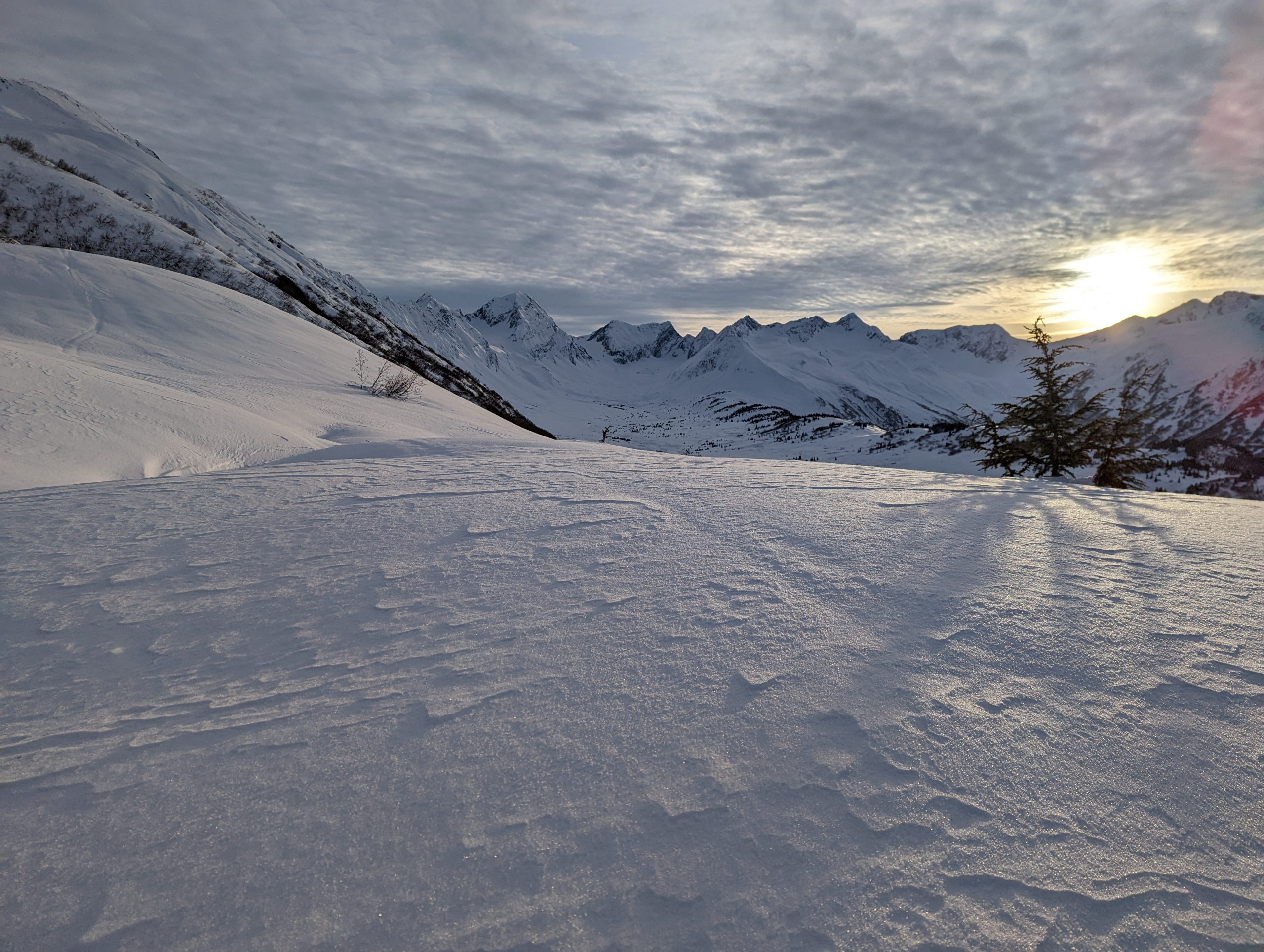
The avalanche danger is MODERATE above 2500′ today. Lingering wind slabs up to 1′ deep are still possible for a person to trigger. These are most likely at upper elevations, especially along ridgelines and cross loaded gullies. Additional concerns include loose snow avalanches in steep terrain and a weak layer on the ground that could produce larger avalanches at upper elevations. Below 2500′ the avalanche danger is LOW.
The last known avalanche observations were natural wind slabs that occurred during last weekend’s outflow wind event on 11/25 to 11/26.
Signal Word | Size (D scale) | Simple Descriptor |
Small | 1 | Unlikely to bury a person |
Large | 2 | Can bury a person |
Very Large | 3 | Can destroy a house |
Historic | 4 & 5 | Can destroy part or all of a village |
Lingering wind slabs that formed during yesterday’s NW outflow wind event are the primary concern for today. Those wind slabs likely formed up to 1′ deep on top of weak faceted surface snow, which can cause them to remain reactive for longer than normal. They are most likely to be found along upper elevation ridgelines, on convex features, and in cross loaded gullies. Keeping a close eye on the surface conditions around you and stepping out of the skin track to feel for stiff and hollow feeling wind transported snow is a good way to identify wind slabs in the terrain.
In addition to wind slabs, the surface snow has been loosing strength over the past week and turning into facets under the clear skies. We have observed some large skier triggered loose snow avalanches (aka sluffs) that could knock a person off balance in steeper terrain. Heads up to try and manage sluff by stopping and letting it go by you or skiing across the fall line to allow it to run beside you.
Mixture of weak surface snow (surface hoar and surface facets) that could be buried by a wind slab after yesterdays outflow wind event. Photo 11.30.22
Signal Word | Size (D scale) | Simple Descriptor |
Small | 1 | Unlikely to bury a person |
Large | 2 | Can bury a person |
Very Large | 3 | Can destroy a house |
Historic | 4 & 5 | Can destroy part or all of a village |
A layer of faceted snow on the ground at upper elevations continues to be on our radar, despite being over two weeks since the last avalanche activity on this layer. This persistent weak layer could produce avalanches 2-4′ deep, but it is currently unlikely for a person to trigger an avalanche on this layer. Part of the reason we are still concerned about this layer is that the snowpack depth at upper elevations remains thin and variable, with only 1-3′ of total snow depth in many areas. That means it would be relatively easy to find a spot where the weight of a person could initiate a failure on this persistent weak layer.
The other main reason is that we still don’t have a lot of information about the snowpack structure and general conditions from the higher alpine elevations of the forecast region. Some of our observations over the past week have indicated that this layer is gaining strength and others indicate that it is well preserved and just waiting for a new snow load to potentially become active again. We are seeking more information from high alpine areas to help fill our knowledge gaps, so please submit an observation if you are able to look for this layer at the base of the snowpack above 3000′!
Yesterday: NW outflow winds were the main weather feature yesterday. In areas exposed to gap winds, like along Turnagain Arm and higher elevations, wind speeds averaged in the 15-20 mph range with gusts up to 50 mph. However, most of the remote weather stations in the region saw much lighter winds, with averages of 5-15 mph and gusts to 20 mph, and were thankfully sheltered from the brunt of the outflow winds. Skies were clear and temperatures stayed in the 10-20 F range.
Today: Winds are expected to be light today, with averages in the 5-10 mph range. Skies will be mostly clear with some bands of high clouds possibly moving through the area. Another temperature inversion has set up, with current temperatures in the single digits at lower elevations and twenties at ridgelines. This inversion is expected to persist through Saturday.
Tomorrow: Saturday looks largely similar to Friday with light winds expected. Mostly clear skies with some bands of high clouds. Temperatures are expected to increase on Saturday to 15-25 F at lower elevations and 20-30 F at upper elevations. No precipitation is expected until Monday.
PRECIPITATION 24-hour data (6am – 6am)
Temp Avg (F) | Snow (in) | Water (in) | Snow Depth (in) | |
---|---|---|---|---|
Center Ridge (1880′) | 13.5 | 0 | 0 | 23 |
Summit Lake (1400′) | 6 | 0 | 0 | 15 |
Alyeska Mid (1700′) | 13 | 0 | 0 | 20 |
Bear Valley (Portage) (132′) | 12 | 0 | 0 | – |
RIDGETOP 24-hour data (6am – 6am)
Temp Avg (F) | Wind Dir | Wind Avg (mph) | Wind Gust (mph) | |
---|---|---|---|---|
Sunburst (3812′) | 17 | WNW | 9 | 20 |
Seattle Ridge (2400′) | 15 | N | 4 | 13 |
Date | Region | Location | Observer |
---|---|---|---|
05/22/23 | Turnagain | Avalanche: Tincan | Nick D'Alessio |
05/12/23 | Turnagain | Avalanche: Tincan, Sunburst, Magnum, Cornbiscuit | Heather Thamm |
05/07/23 | Turnagain | Observation: Tincan – Bear Tracks | CNFAIC Staff |
05/05/23 | Turnagain | Observation: Seattle Ridge | AS/ WW Forecaster |
05/02/23 | Turnagain | Observation: Cornbiscuit | Schauer/ Sturgess Forecaster |
05/02/23 | Turnagain | Observation: Seward Hwy Turnagain Pass | Joel Curtis |
04/30/23 | Turnagain | Observation: Magnum | Ayla, Kit Crosby, Barton |
04/29/23 | Turnagain | Observation: Tincan | John Sykes |
04/28/23 | Turnagain | Avalanche: Taylor Pass/Pastoral | Schauer/ Creighton Forecaster |
04/28/23 | Turnagain | Avalanche: Tincan | Andy Moderow |
Status of riding areas across the Chugach NF is managed by the Glacier and Seward Ranger Districts, not avalanche center staff. Riding area information is posted as a public service to our users and updated based on snow depth and snow density to prevent resource damage at trailhead locations. Riding area questions contact: mailroom_r10_chugach@fs.fed.us
Area | Status | Weather & Riding Conditions |
---|---|---|
Glacier District |
Subscribe to Turnagain Pass
Avalanche Forecast by Email
This is a general backcountry avalanche advisory issued for Turnagain Arm with Turnagain Pass as the core advisory area. This advisory does not apply to highways, railroads or operating ski areas.