Turnagain Pass
|
![]() ![]() |
The avalanche danger is CONSIDERABLE at all elevation bands. In the Alpine and Treeline triggering a slab avalanche is likely and natural avalanches are possible. Avalanches that release in higher elevation terrain could send debris into the lower elevation (below 1000′) runout. Cautious route-finding and conservative decision-making are essential.
If you are heading to Hatcher Pass don’t forget to check hpavalanche.org and their Facebook page.
Tuesday, Dec 3rd: Turnagain Pass – Snow, Weather and Avalanches @ Ski AK
6:30pm – 8:00pm. Cost FREE!
Join CNFAIC forecasters for a look under the hood at the avalanche center. We’ll discuss current Turnagain Pass snow and avalanche conditions, how avalanche forecasts are produced and some tips on being your own avalanche forecaster.
![]() |
![]() |
![]() |
![]() |
![]() |
|
Travel Advice | Generally safe avalanche conditions. Watch for unstable snow on isolated terrain features. | Heightened avalanche conditions on specific terrain features. Evaluate snow and terrain carefully; identify features of concern. | Dangerous avalanche conditions. Careful snowpack evaluation, cautious route-finding, and conservative decision-making essential. | Very dangerous avalanche conditions. Travel in avalanche terrain not recommended. | Extraordinarily dangerous avalanche conditions. Avoid all avalanche terrain. |
Likelihood of Avalanches | Natural and human-triggered avalanches unlikely. | Natural avalanches unlikely; human-triggered avalanches possible. | Natural avalanches possible; human-triggered avalanches likely. | Natural avalanches likely; human-triggered avalanches very likely. | Natural and human-triggered avalanches certain. |
Avalanche Size and Distribution | Small avalanches in isolated areas or extreme terrain. | Small avalanches in specific areas; or large avalanches in isolated areas. | Small avalanches in many areas; or large avalanches in specific areas; or very large avalanches in isolated areas. | Large avalanches in many areas; or very large avalanches in specific areas. | Very large avalanches in many areas. |
Signal Word | Size (D scale) | Simple Descriptor |
Small | 1 | Unlikely to bury a person |
Large | 2 | Can bury a person |
Very Large | 3 | Can destroy a house |
Historic | 4 & 5 | Can destroy part or all of a village |
Welcome to winter… ish. It’s currently 40F in Girdwood this morning. After two days of stormy weather precipitation is forecast to decrease today but easterly winds will remain fairly strong. Storm snow avalanches, including wind slabs along ridgelines, storm slabs in the sheltered zones, cornice falls and wet loose snow sluffs where rain is falling, should all be viewed as likely today. It’s a day to carefully evaluate terrain and consequences if an avalanche does release. The mountains need time to adjust.
Red flags to watch for:
– Recent avalanches – Are avalanches occurring today? Was there avalanche activity during the storm?
– Whumpfing (collapsing) of the snowpack
– Shooting cracks, likely to be seen near ridgelines where the wind has formed wind slabs.
Storm totals (beginning Wednesday through 6am Friday):
Turnagain Pass at 1,880′: 1.9″– of water equivalent, roughly 1.5-2′ of snow above treeline
Girdwood Valley at 1,700′: 3.6″ of water equivalent, roughly 2.5-3.5′ above treeline
Portage Valley at sea level: 5.3″ of water equivalent, roughly 5′ of snow above treeline
Summit Lake at 1,400′: 1.2″ of water equivalent, roughly 1′ of snow above treeline.
It is early in the season and overall we have limited snowpack data, especially in the Alpine (above 2500′) where most of the snow fell. What we do know is that the existing snowpack just got a heavy load. The storm was upside down with heavier snow falling on lighter snow or rain falling on snow. The winds were sustained and strong. Caution is advised. There is a long winter ahead. Don’t let early season stoke get the best of you!
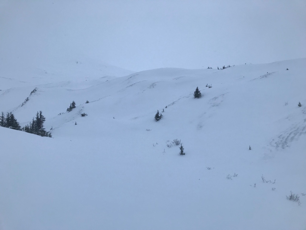
Yesterday: Rain and snow fell throughout the day with snow line increasing to approximately 2200′ as temperatures rose well above freezing at lower elevations. In the past 24 hrs Girdwood received 1.5″ of water, Turnagain Pass 0.9″, and Portage (Bear Valley) 3.4″ with upper elevations seeing snow. Easterly winds were in the 30s with gusts into the 60s. Overnight temperatures were in the 40Fs at sea level, 30Fs at mid elevations and 20Fs at ridgetops.
Today: Rain and snow showers will continue today with snow line forecast to be around 2400′, 0.3 inches of water and 0-6″ of snow. Temperatures will be in the low 40Fs at sea level and the high 20Fs along ridgetops. Winds are forecast to be easterly 15-35 mph with gusts into the 50s. Overnight temperatures should cool a bit and rain/snow showers will continue with snow line dropping to 1500′. Winds will remain easterly gusting into the 40s.
Tomorrow: Cloudy skies with rain and snow showers and daytime temperatures just slightly cooler than today. Easterly winds will decrease to 5-10 mph. The pattern looks to remain active into next week with an overall cooling trend.
PRECIPITATION 24-hour data (6am – 6am)
Temp Avg (F) | Snow (in) | Water (in) | Snow Depth (in) | |
---|---|---|---|---|
Center Ridge (1880′) | 35 | 1 | 0.9 | 15 |
Summit Lake (1400′) | 34 | 0 | 0.3 | 8 |
Alyeska Mid (1700′) | 33 | 5 | 1.44 | 20 |
RIDGETOP 24-hour data (6am – 6am)
Temp Avg (F) | Wind Dir | Wind Avg (mph) | Wind Gust (mph) | |
---|---|---|---|---|
Sunburst (3812′) | 25 | NE | 32 | 68 |
Seattle Ridge (2400′) | NA* | SE* | 15* | 35* |
*Seattle Ridge is not recording temperature and wind stopped recording at 10 pm.
Date | Region | Location | Observer |
---|---|---|---|
10/27/24 | Turnagain | Observation: Tincan | Michael Kerst |
10/21/24 | Turnagain | Observation: Turnagain Pass Road Observation | Trevor Clayton |
10/19/24 | Turnagain | Observation: Tincan – Below Todds Run | Andy Moderow |
10/18/24 | Turnagain | Observation: Taylor Pass | Eli Neuffer |
10/15/24 | Turnagain | Observation: Tincan Common | John Sykes Forecaster |
10/14/24 | Turnagain | Avalanche: Tincan | CNFAC Staff |
05/13/24 | Turnagain | Observation: Eddie’s, Sunburst, Seattle, Cornbiscuit, Pete’s South | H Thamm |
05/13/24 | Turnagain | Observation: Turnagain Pass non-motorized side | Amy Holman |
05/12/24 | Turnagain | Observation: Warm up Bowl | Tony Naciuk |
05/07/24 | Turnagain | Observation: Turnagain Pass Wet Slabs | A S |
The riding areas page has moved. Please click here & update your bookmarks.
Subscribe to Turnagain Pass
Avalanche Forecast by Email