Turnagain Pass Avalanche Forecast
|
![]() ![]() |
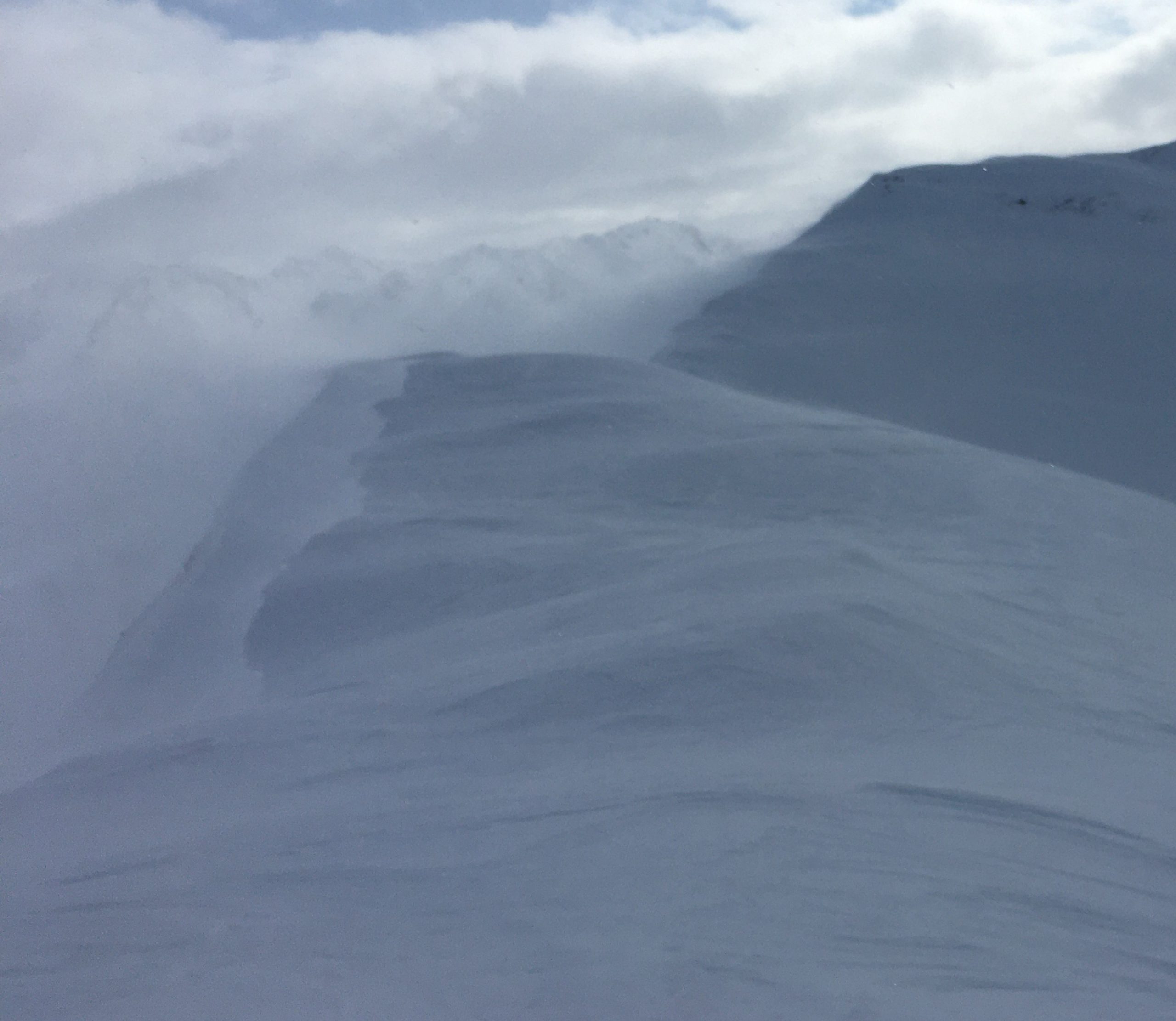
The avalanche danger is CONSIDERABLE above 2500′, where strong northwesterly winds have been forming sensitive wind slabs since yesterday afternoon. It is likely a person could trigger an avalanche 1-2′ deep on steep slopes near ridgelines, below convexities, or in cross-loaded gullies. These wind slabs are forming on top of weak surfaces, making it possible to trigger an avalanche remotely from above, below, or adjacent to a slope. The danger is MODERATE below 2500′, where it remains possible to trigger an avalanche on multiple layers of facets and surface hoar buried in the upper 3′ of the snowpack. Cautious route-finding will be key today, especially avoiding steep, wind-loaded slopes.
SUMMIT LAKE/SNUG HARBOR/LOST LAKE/SEWARD: These areas have been hit hardest by the winds, making avalanche conditions especially sensitive. Use extra caution if you are getting out in any of these zones.
Signal Word | Size (D scale) | Simple Descriptor |
Small | 1 | Unlikely to bury a person |
Large | 2 | Can bury a person |
Very Large | 3 | Can destroy a house |
Historic | 4 & 5 | Can destroy part or all of a village |
Winds picked up yesterday afternoon and continued overnight, with sustained ridgetop speeds in the 15-20 mph range and gusts into the mid 30’s near Girdwood and Turnagain Pass, and 53 mph in the Summit Lake area. We saw these winds moving a massive amount of snow yesterday, and expect this has continued through this morning. This snow has been deposited into sensitive slabs, which are sitting on top of weak facets that rest on crusts on solar aspects and on firm older wind surfaces on shaded slopes. All of this is pointing to an elevated likelihood of human-triggered avalanches around 1-2’ deep today, especially at upper elevations.
Increasing cloud cover during the day may make it difficult to travel into the alpine, but if you are trying to get up high be on alert for these fresh wind slabs. As winds die down this morning, it will become less likely to see natural activity, but human-triggered avalanches will remain likely on steep, wind-loaded slopes. You are most likely to find them at upper elevations below ridgelines, on the downslope side of convexities mid-slope, or in cross-loaded gullies. Pay attention to warning signs of instability like cracks shooting out from your snowmachine or skis or the audible whumpf of the snowpack collapsing under your feet.
Loose snow avalanches: Steep slopes that have been sheltered from the wind have up to a foot of loose snow sitting on top of firm surfaces. We have seen a lot of loose snow avalanches (sluffs) since Thursday, and similar activity will be expected today. While it is unlikely they will be big enough to bury you, they can be dangerous if they drag you into terrain traps like cliffs, trees, rocks, or gullies.
Snow blowing off the ridgeline of Bench Peak at 4250′. 03.27.2021
Signal Word | Size (D scale) | Simple Descriptor |
Small | 1 | Unlikely to bury a person |
Large | 2 | Can bury a person |
Very Large | 3 | Can destroy a house |
Historic | 4 & 5 | Can destroy part or all of a village |
Our persistent weak layers (buried surface hoar and facets) that formed earlier in the month are still lurking in the upper 3’ of the snowpack. The strong winds from yesterday and last night have increased the load on these weak layers on some slopes, pushing the needle towards instability. These weak layers are present through most of our advisory area as well as the peripheral zones. In addition to the travel advice mentioned with respect to the wind slab problem mentioned above, it is still important to keep these layers in mind while moving through the mountains. Avoid consequential terrain that raises the stakes of getting caught in an avalanche, and be sure to only expose one person at a time to steep slopes and runout zones if you are trying to access steep terrain.
Multiple weak layers in the upper snowpack from a test pit yesterday. 03.27.2021
Yesterday: Skies were partly cloudy to mostly sunny, with high temperatures in the mid teens F at upper elevations and in the upper 20’s to low 30’s F at lower elevations. Northwesterly winds picked up in the afternoon, with sustained ridgetop speeds of 15-20 mph and gusts around 35 mph near Girdwood and Turnagain Pass, and as high as 53 mph near Summit Lake. No precipitation was recorded.
Today: Northwesterly winds will gradually calm down this morning, shifting to the southeast at 5-10 mph later in the afternoon as another round of active weather approaches. Skies are expected to start out partly cloudy, with increasing cloud cover through the day. High temperatures are expected in the upper teens to upper 20’s F, with overnight lows in the single digits to upper teens F. Chances for precipitation start to increase late in the afternoon today, with a system that resembles last week’s storm.
Tomorrow: Snow showers continue tonight and through the day tomorrow, with 6-8” expected near Girdwood and 2-4” on Turnagain Pass. Highs are expected in the low 20’s to low 30’s F, with winds at 5-10 mph out of the south. Fingers crossed for cold temps and plenty of snow!
PRECIPITATION 24-hour data (6am – 6am)
Temp Avg (F) | Snow (in) | Water (in) | Snow Depth (in) | |
---|---|---|---|---|
Center Ridge (1880′) | 24 | 0 | 0 | 112 |
Summit Lake (1400′) | 21 | 0 | 0 | 48 |
Alyeska Mid (1700′) | 24 | 0 | 0 | 117 |
RIDGETOP 24-hour data (6am – 6am)
Temp Avg (F) | Wind Dir | Wind Avg (mph) | Wind Gust (mph) | |
---|---|---|---|---|
Sunburst (3812′) | 11 | WNW | 9 | 36 |
Seattle Ridge (2400′) | 18 | NW | 11 | 36 |
Date | Region | Location | Observer |
---|---|---|---|
05/22/23 | Turnagain | Avalanche: Tincan | Nick D'Alessio |
05/12/23 | Turnagain | Avalanche: Tincan, Sunburst, Magnum, Cornbiscuit | Heather Thamm |
05/07/23 | Turnagain | Observation: Tincan – Bear Tracks | CNFAIC Staff |
05/05/23 | Turnagain | Observation: Seattle Ridge | AS/ WW Forecaster |
05/02/23 | Turnagain | Observation: Cornbiscuit | Schauer/ Sturgess Forecaster |
05/02/23 | Turnagain | Observation: Seward Hwy Turnagain Pass | Joel Curtis |
04/30/23 | Turnagain | Observation: Magnum | Ayla, Kit Crosby, Barton |
04/29/23 | Turnagain | Observation: Tincan | John Sykes |
04/28/23 | Turnagain | Avalanche: Taylor Pass/Pastoral | Schauer/ Creighton Forecaster |
04/28/23 | Turnagain | Avalanche: Tincan | Andy Moderow |
Status of riding areas across the Chugach NF is managed by the Glacier and Seward Ranger Districts, not avalanche center staff. Riding area information is posted as a public service to our users and updated based on snow depth and snow density to prevent resource damage at trailhead locations. Riding area questions contact: mailroom_r10_chugach@fs.fed.us
Area | Status | Weather & Riding Conditions |
---|---|---|
Glacier District |
Subscribe to Turnagain Pass
Avalanche Forecast by Email
This is a general backcountry avalanche advisory issued for Turnagain Arm with Turnagain Pass as the core advisory area. This advisory does not apply to highways, railroads or operating ski areas.