Turnagain Pass Avalanche Forecast
|
![]() ![]() |
The avalanche danger is generally LOW today but could rise to MODERATE in the afternoon for triggering a wet loose avalanche on solar aspects in lower elevation terrain. Pay attention to changing surface conditions. In addition, there is still a chance of triggering a lingering wind slab on wind loaded slopes in the Alpine. As always, give cornices a wide berth.
SUMMIT LAKE: This area harbors a shallower snowpack with weak snow in the mid and base of the pack. Triggering a larger slab is possible and extra caution is advised.
PORTAGE VALLEY/Byron Glacier Trail: It’s that time of year to avoid avalanche runout zones along summer trails. Springtime avalanches can hit areas such as the Byron Glacier ice caves.
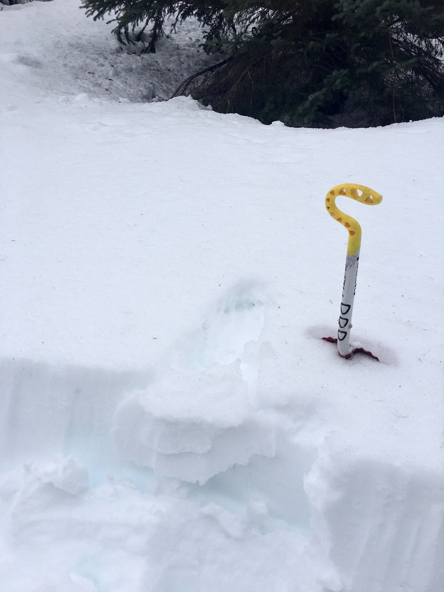
***Roof Avalanches: Heads up. Roofs are still shedding remaining snow.
Signal Word | Size (D scale) | Simple Descriptor |
Small | 1 | Unlikely to bury a person |
Large | 2 | Can bury a person |
Very Large | 3 | Can destroy a house |
Historic | 4 & 5 | Can destroy part or all of a village |
Yesterday skies were mostly overcast and the temperatures were warm with weather stations recording temperatures above freezing as high as 4000′. Observers in the mid and lower elevations reported saturated snow and some natural wet loose avalanches in the afternoon. The skies have cleared overnight and temperatures have cooled. Expect melt-freeze crusts on surfaces that had wet to moist snow yesterday. In the Alpine northwest winds should generally keep things cool and locked up. What to watch for today is protected lower elevation slopes that receive direct sunshine. Daytime heating and solar radiation could soften the crust, you could sink into the saturated snow below and initiate a wet loose avalanche on a steep slope. If your snowmachine/skis/splitboard starts punching deep into the snowpack, it’s time to choose a different aspect. This is when wet loose avalanches will become possible to trigger. These wet sluffs could start quite small and if conditions are right, they can entrain enough snow to cause a larger avalanche than expected. Steep slopes below rocky areas are most suspect. Watch for small natural roller balls. These are a sign that things are heating up!
Signal Word | Size (D scale) | Simple Descriptor |
Small | 1 | Unlikely to bury a person |
Large | 2 | Can bury a person |
Very Large | 3 | Can destroy a house |
Historic | 4 & 5 | Can destroy part or all of a village |
Outflow (northwest) winds are in the forecast again today. There is not much snow available for transport at this point. However, it is still a good idea to be on the lookout for any blowing snow and watch for lingering stiff wind slabs on steep slopes in the Alpine. These are from the strong winds on Sunday and Monday. These slabs could be sitting on buried surface hoar may still be possible to trigger. Watch for cracking, hard snow over soft snow or spots that sound or feel hollow.
In shallow snowpack zones, triggering a larger slab that breaks in weak snow in the mid and base of the snowpack is still a concern. This is at the higher elevations where drier snow exists. The recent warm weather is changing the character of the slab on top, which can increase the chance a person can initiate a failure in the weak facets below and create an avalanche. Areas with a shallow snowpack are on the south end of Turnagain Pass to Summit Lake. This zone also could be more impacted by outflow winds today, watch for wind loading with the caveat that there isn’t very much snow available for transport.
Yesterday: Overcast skies with some pockets of sun poking through. Temperatures in the high mid 30°Fs to mid 40°Fs. Winds were mostly light and southwesterly. Overnight skies were partly cloudy becoming mostly clear. Temperatures were in the mid 30°Fs to mid 20°FS. Winds were light and shifted to the northwest.
Today: Skies are forecast to be mostly clear with temperatures in the mid 20°Fs to high 30°Fs. Winds will be northwesterly picking up mid morning, blowing 10-20 mph with gusts into the 30s. Clouds will move in overnight and temperatures will be in the 20°Fs. Winds will be northwesterly 5-10 mph with gusts into the 20s.
Tomorrow: Mostly cloudy skies with a chance of snow showers and northwest winds 5-10 mph becoming calm in the afternoon. Temperatures will be in the mid 20°Fs to low 30°Fs. Overnight snow showers temperatures in the 20°Fs and east winds 5-15 mph. Looking ahead to the weekend the pattern remains unsettled with snow showers and cooler temperatures.
PRECIPITATION 24-hour data (6am – 6am)
Temp Avg (F) | Snow (in) | Water (in) | Snow Depth (in) | |
---|---|---|---|---|
Center Ridge (1880′) | 37 | 0 | 0 | 64 |
Summit Lake (1400′) | 36 | 0 | 0 | 29 |
Alyeska Mid (1700′) | 35 | 0 | 0 | 72 |
RIDGETOP 24-hour data (6am – 6am)
Temp Avg (F) | Wind Dir | Wind Avg (mph) | Wind Gust (mph) | |
---|---|---|---|---|
Sunburst (3812′) | 29 | W | 8 | 27 |
Seattle Ridge (2400′) | 32 | VAR | 3 | 12 |
Date | Region | Location | Observer |
---|---|---|---|
01/15/21 | Turnagain | Observation: Sunburst | Schauer/ Wunnicke Forecaster |
01/13/21 | Turnagain | Observation: Tincan | Johnston-Bloom / Moderow Forecaster |
01/13/21 | Turnagain | Observation: Center Ridge Meadows | Alaska Avalanche School Rec Level 1 Roberts |
01/12/21 | Turnagain | Avalanche: Seattle Ridge/Center Ridge | A Schauer Forecaster |
01/11/21 | Turnagain | Observation: Tincan Trees | Schauer/ Roberts Forecaster |
01/10/21 | Turnagain | Observation: Center Ridge Meadows | Alaska Avalanche School Pro 1 Course Latosuo |
01/10/21 | Turnagain | Avalanche: Tincan trees | Anonymous |
01/09/21 | Turnagain | Observation: Johnson Pass | Anonymous |
01/08/21 | Turnagain | Observation: Sunburst meadow between Hemlocks | Anonymous |
01/08/21 | Turnagain | Avalanche: Seattle Ridge | Wagner / Schauer |
Status of riding areas across the Chugach NF is managed by the Glacier and Seward Ranger Districts, not avalanche center staff. Riding area information is posted as a public service to our users and updated based on snow depth and snow density to prevent resource damage at trailhead locations. Riding area questions contact: mailroom_r10_chugach@fs.fed.us
Area | Status | Weather & Riding Conditions |
---|---|---|
Glacier District |
Subscribe to Turnagain Pass
Avalanche Forecast by Email
This is a general backcountry avalanche advisory issued for Turnagain Arm with Turnagain Pass as the core advisory area. This advisory does not apply to highways, railroads or operating ski areas.