Turnagain Pass Avalanche Forecast
|
![]() ![]() |
An approaching weather system will raise the avalanche danger to MODERATE today at elevations above 1000′. Increasing winds will create sensitive wind slabs on top of weak snow that has developed over the past week, making it possible to trigger an avalanche up to a foot deep. Pay attention to changing conditions as the storm develops, and be on the lookout for clear signs of instability like shooting cracks, collapsing, and fresh avalanche activity.
The avalanche danger will remain LOW below 1000’.
The National Weather Service has issued a special weather statement with the approaching storm.
Signal Word | Size (D scale) | Simple Descriptor |
Small | 1 | Unlikely to bury a person |
Large | 2 | Can bury a person |
Very Large | 3 | Can destroy a house |
Historic | 4 & 5 | Can destroy part or all of a village |
Active weather is making its way back into the region today, and we can expect avalanche danger to increase. Although we are only expecting light precipitation today, increasing winds will form sensitive wind slabs on top of weak snow surfaces. During the past week, we have seen near-surface facets and surface hoar develop all the way up to ridgetops. This weak snow is sitting on top of stiff old wind surfaces and sun crusts, and will be very sensitive to triggers once it gets buried. With only a few inches of snow expected to fall today, wind slab avalanches should only be around 6-10” deep, but they may be big enough to bury or injure a person, especially on slopes that funnel into a terrain trap.
Safe travel today will require paying close attention to changing conditions, and taking note of slopes that are getting wind loaded. Shooting cracks, collapsing, and fresh avalanche activity are all signs that it is becoming easier to trigger an avalanche. If you notice any of these red flags, step back to low-angle terrain. Avalanche danger is expected to continue to rise as the storm develops over the next few days, so be sure to stay tuned for updates.
Persistent slabs: It is unlikely the snow and winds today will push the older persistent weak layers in the upper 1-3’ of the snowpack to their breaking point. However, we know these weak layers are present throughout our advisory area, and this will be an additional factor to consider as you are selecting your terrain. A wind slab avalanche triggered near the surface may apply the load needed to trigger something deeper in the snowpack.
Sluffs: Steep slopes are sheltered from the wind have 2-6” poorly bonded snow on the surface, which makes it easier to trigger dry loose avalanches (sluffs). Be aware of the potential for sluffs to gain volume and speed in steep terrain, since these can be dangerous if they knock you off your feet or your machine.
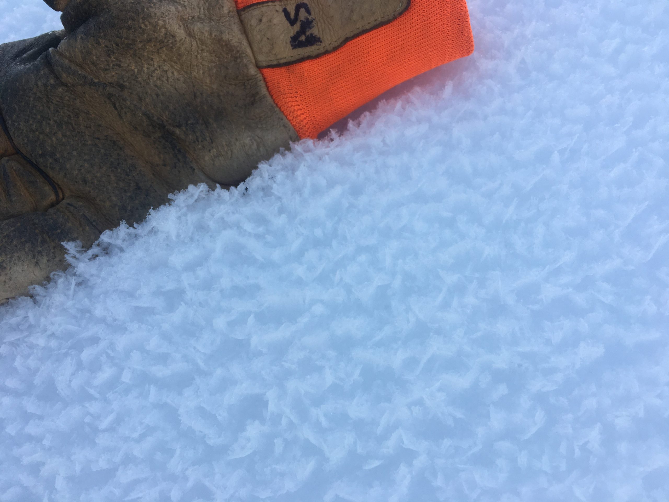
We’ve seen surface hoar growing at all elevations over the past week. This will be a sensitive weak layer once it gets buried by the approaching storm. 03.07.2021
Predicted storm totals by Thursday morning. It is looking like we might get a good amount of snow with this storm!
Yesterday: Another day of clear skies and plenty of sunshine brought chilly temperatures from the single digits F in the morning up to high temperatures in the mid- 30’s to 40 F during the day. Light easterly winds increased to 10-15 mph in the early hours this morning.
Today: Easterly winds are expected to continue to increase, with sustained speeds of 10-25 mph and gusts to 30 mph during the day. High temperatures are expected to reach the mid 20’s to low 30’s F. Skies will be cloudy all day, with light snowfall bringing 1-2” snow.
Tomorrow: Continued light snowfall tonight could bring another 2-4” snow before things ramp up later in the day Wednesday, hopefully bringing a foot or more of snow to our area by Thursday. Overnight lows are expected in the low to upper 20’s F, dropping in the low teens to low 20’s F through the day tomorrow. Winds are expected to increase to 20-30 mph overnight, with gusts approaching 45 mph tomorrow morning. Precipitation is expected to start warm and finish cold, and it is looking like we should see snow to sea level.
PRECIPITATION 24-hour data (6am – 6am)
Temp Avg (F) | Snow (in) | Water (in) | Snow Depth (in) | |
---|---|---|---|---|
Center Ridge (1880′) | 27 | 0 | 0 | 110 |
Summit Lake (1400′) | 20 | 0 | 0 | 45 |
Alyeska Mid (1700′) | 27 | 0 | 0 | 113 |
RIDGETOP 24-hour data (6am – 6am)
Temp Avg (F) | Wind Dir | Wind Avg (mph) | Wind Gust (mph) | |
---|---|---|---|---|
Sunburst (3812′) | 27 | E* | 5 | 19 |
Seattle Ridge (2400′) | 27 | E | 7 | 18 |
*Light westerly winds shifted back to the east around midnight.
Date | Region | Location | Observer |
---|---|---|---|
01/31/23 | Turnagain | Observation: Johnson Pass area | Megan Guinn / W Wagner Forecaster |
01/29/23 | Turnagain | Observation: Tincan Backdoor | AAS-Level 1 1/27-1/30 |
01/28/23 | Turnagain | Observation: Sunburst | Brooke Edwards |
01/28/23 | Turnagain | Avalanche: Seattle Ridge | W Wagner |
01/28/23 | Turnagain | Observation: Tincan Common | Tony Naciuk |
01/27/23 | Turnagain | Observation: Sunburst | John Sykes |
01/27/23 | Turnagain | Avalanche: Lynx Creek | Megan Guinn / W Wagner |
01/25/23 | Turnagain | Observation: Cornbiscuit | John Sykes Forecaster |
01/22/23 | Turnagain | Avalanche: Tincan | Schauer/ Guinn |
01/21/23 | Turnagain | Avalanche: Seattle Ridge | Elias Holt |
Status of riding areas across the Chugach NF is managed by the Glacier and Seward Ranger Districts, not avalanche center staff. Riding area information is posted as a public service to our users and updated based on snow depth and snow density to prevent resource damage at trailhead locations. Riding area questions contact: mailroom_r10_chugach@fs.fed.us
Area | Status | Weather & Riding Conditions |
---|---|---|
Glacier District |
Subscribe to Turnagain Pass
Avalanche Forecast by Email
This is a general backcountry avalanche advisory issued for Turnagain Arm with Turnagain Pass as the core advisory area. This advisory does not apply to highways, railroads or operating ski areas.