Turnagain Pass Avalanche Forecast
|
![]() ![]() |
The avalanche danger remains MODERATE today. Triggering an avalanche on a persistent weak layer, buried 1-3’ deep, is still possible on slopes 35° and steeper. Use safe travel protocol, identify areas of concern and evaluate terrain consequences. Be on the lookout for old lingering wind slabs in the Alpine, give cornices a wide berth and watch your sluff.
Heading to Hatcher Pass? Be sure to check the Thursday Conditions Summary at hpavalanche.org.
Signal Word | Size (D scale) | Simple Descriptor |
Small | 1 | Unlikely to bury a person |
Large | 2 | Can bury a person |
Very Large | 3 | Can destroy a house |
Historic | 4 & 5 | Can destroy part or all of a village |
Yesterday many people were out enjoying the soft surface conditions and nice weather. We have more sunshine on tap today. If you decide to partake in some fun in the sun, keep in mind the lingering possibility of triggering an avalanche on the persistent weak layers that are lurking 1-3’ deep in snowpack. These are layers of surface hoar and/or facets that formed during late January and early February. These layers are showing signs that they are gaining strength but observers continue to find them in the snowpack across the advisory area at all elevations. In some locations they remain reactive in snowpack instability tests. The last reported avalanches that failed on these layers occurred about a week ago in the Girdwood Valley and on Tincan in terrain below 2000′. If choosing to push into steeper terrain today, remember you could still hit the wrong spot on your skis or machine and trigger an avalanche that fails on one of the buried weak layers. As always, it is really important to follow safe travel protocol and evaluate terrain consequences. This means avoiding terrain exposed to terrain traps, only exposing one person at a time to steep slopes, and watching your skiing and riding partners from safe spots.
As we anticipate new snow tomorrow keeping track of surface conditions is important. A new batch of surface hoar is growing on the surface and a sun crust was observed in steep southerly low elevation terrain yesterday. These two pieces of data will both be factors that could determine how well any new snow will bond to the existing surfaces. Let us know what you find today!
Wind Slabs: You may still find small and isolated pockets of wind-loaded snow that are capable of avalanching. These are most commonly located below ridgetops, convexities, and in cross-loaded gullies, and will be more likely at higher elevations. Steep terrain with smooth pillows of wind-drifted snow should still be treated with caution today. As winds increase this afternoon watch for blowing snow and any new wind slab development.
Sluffs: Steep slopes that have been protected from the winds and the sun have 2-6” of soft snow on the surface and triggering a loose snow avalanche (sluff) is possible. Remember sluffs can gain volume and speed in steep terrain and can be dangerous if they knock you off your feet and take you for a ride in high consequence spot.
A layer of buried surface hoar was reactive in an Extended Column Test on Center Ridge yesterday, 3.3.21.
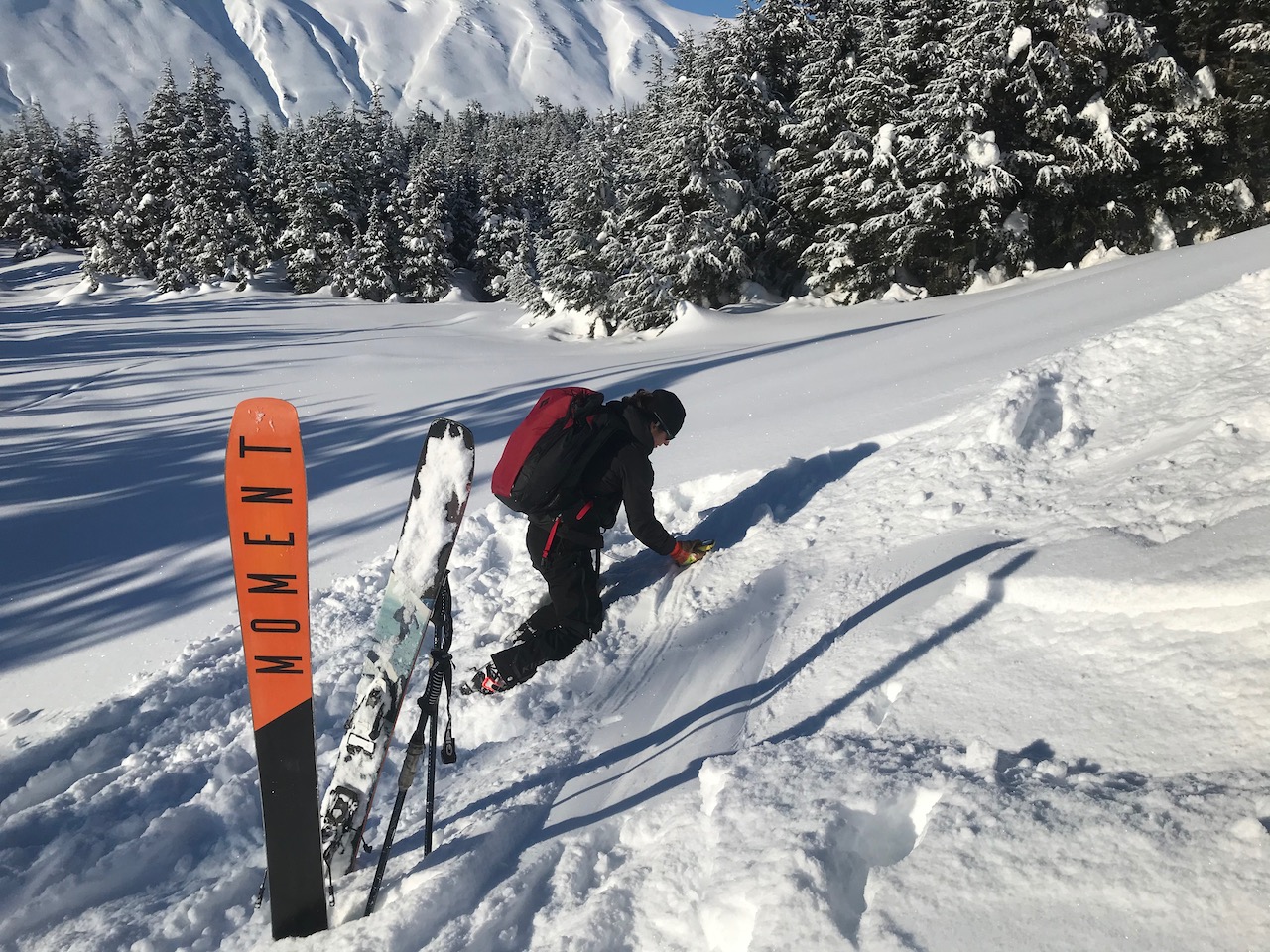
Any day is a good day to practice avalanche rescue. CNFAIC director Wendy Wagner practicing in the sun, 3.3.21. When was the last time you and your skiing or riding partners took the time to practice?
Yesterday: Skies were mostly clear at upper elevations with a layer of fog/low stratus in the valleys that dissipated in the afternoon. There were a few fog snow flakes falling below the clouds. High temperatures were in the upper teens to mid 20°Fs. Winds were light and variable. Overnight skies were mostly clear with an inversion setting up. Low temperatures in the valley bottoms were in the single digits to a few degrees below 0°F while ridgetop temperatures were in the low teens. Winds remained light.
Today: Skies will be mostly clear again with some patchy valley fog. Highs are expected in the mid teens to mid 20°Fs. Winds will start off light and then increase in the afternoon becoming easterly 5-15 mph, with gusts into the 20s. Overnight skies will become cloudy and snow showers are forecast to start early Friday morning. Lows will be in the teens.
Tomorrow: Cloudy skies with snowfall throughout the day, accumulation of 2-4″ possible. Highs in the mid 20°Fs to low 30°Fs. Winds will be easterly 10-15 mph with gusts into the 20s. Snow showers continue into the evening with a chance of snow overnight. Winds shift the northwest around 10 pm and are forecast to blow 10-20 mph. Temperatures will be in the mid teens to mid 20°Fs.
PRECIPITATION 24-hour data (6am – 6am)
Temp Avg (F) | Snow (in) | Water (in) | Snow Depth (in) | |
---|---|---|---|---|
Center Ridge (1880′) | 11 | 0 | 0 | 113 |
Summit Lake (1400′) | 5 | 0 | 0 | 46 |
Alyeska Mid (1700′) | 14 | 0 | 0 | 116 |
RIDGETOP 24-hour data (6am – 6am)
Temp Avg (F) | Wind Dir | Wind Avg (mph) | Wind Gust (mph) | |
---|---|---|---|---|
Sunburst (3812′) | 12 | SW | 5 | 15 |
Seattle Ridge (2400′) | 14 | N | 2 | 10 |
Date | Region | Location | Observer |
---|---|---|---|
05/22/23 | Turnagain | Avalanche: Tincan | Nick D'Alessio |
05/12/23 | Turnagain | Avalanche: Tincan, Sunburst, Magnum, Cornbiscuit | Heather Thamm |
05/07/23 | Turnagain | Observation: Tincan – Bear Tracks | CNFAIC Staff |
05/05/23 | Turnagain | Observation: Seattle Ridge | AS/ WW Forecaster |
05/02/23 | Turnagain | Observation: Cornbiscuit | Schauer/ Sturgess Forecaster |
05/02/23 | Turnagain | Observation: Seward Hwy Turnagain Pass | Joel Curtis |
04/30/23 | Turnagain | Observation: Magnum | Ayla, Kit Crosby, Barton |
04/29/23 | Turnagain | Observation: Tincan | John Sykes |
04/28/23 | Turnagain | Avalanche: Taylor Pass/Pastoral | Schauer/ Creighton Forecaster |
04/28/23 | Turnagain | Avalanche: Tincan | Andy Moderow |
Status of riding areas across the Chugach NF is managed by the Glacier and Seward Ranger Districts, not avalanche center staff. Riding area information is posted as a public service to our users and updated based on snow depth and snow density to prevent resource damage at trailhead locations. Riding area questions contact: mailroom_r10_chugach@fs.fed.us
Area | Status | Weather & Riding Conditions |
---|---|---|
Glacier District |
Subscribe to Turnagain Pass
Avalanche Forecast by Email
This is a general backcountry avalanche advisory issued for Turnagain Arm with Turnagain Pass as the core advisory area. This advisory does not apply to highways, railroads or operating ski areas.