Turnagain Pass Avalanche Forecast
|
![]() ![]() |
The avalanche danger is MODERATE today, and it is still possible a person could trigger an avalanche on layers of near-surface facets and surface hoar buried 1-3′ deep. These weak layers are present at all elevations throughout most of our advisory area. As they become more stubborn to trigger, they are less likely to present clear warning signs prior to avalanching. We need to be patient dealing with these persistent weak layers, avoiding dangerous terrain where an avalanche could have serious consequences. In addition to these persistent weak layers, there may still be isolated wind slabs that formed in the past few days and are still reactive today.
Seward/Lost Lake/Snug Harbor/Portage Valley: These areas are expected to see more wind today than the core advisory area. Be aware of increased likelihood of triggering wind slab avalanches in these areas.
Signal Word | Size (D scale) | Simple Descriptor |
Small | 1 | Unlikely to bury a person |
Large | 2 | Can bury a person |
Very Large | 3 | Can destroy a house |
Historic | 4 & 5 | Can destroy part or all of a village |
With fairly quiet weather on tap for today, our main concern is triggering an avalanche 1-3’ deep on persistent weak layers that were buried in late January and early February. For anyone who has been following the advisory, these layers are old news by now. But that doesn’t mean we can ignore them. We have seen avalanches fail on these weak layers as recently as Sunday– clear evidence that they are still a problem. With incremental loading during the month of February, we have slowly buried these layers deeper and deeper. They are slowly gaining strength, and although we do not expect to see a widespread cycle without a major loading event, it is still possible to trigger avalanches big enough to bury a person.
These persistent weak layers are a real test of patience, with potentially severe consequences if we don’t treat them with caution. The only way to manage a problem like this is to realize that most steep slopes have the potential to avalanche, and to treat them accordingly. If you are trying to access steep terrain, avoid slopes with terrain traps like cliffs, trees, rocks, and gullies. Now is not the time to push it into big terrain. Be smart with safe travel protocol, only exposing one person at a time to steep slopes, and watching your partners from safe spots out of the avalanche path. If you are interested in digging in a little deeper, this post from the Utah Avalanche Center shares good insight regarding safe travel protocol, and how being better with group management can reduce fatal accident rates.
Wind slabs: Light winds today and yesterday are not likely to form large or widespread wind slabs, but it will still be attention to pay attention to signs of recent wind loading– especially in the most suspect terrain below ridgetops, convexities, and in cross-loaded gullies. It may still be possible to find small reactive wind slabs on isolated features.
Sluffs: With 2-6” new snow in the past 24 hours, we can expect to see dry loose avalanches (sluffs) in most steep terrain. It is unlikely these will be large enough to bury a person, but they can have serious consequences if they carry you over terrain traps.
Small wind slab releasing on a test slope in the Tincan trees yesterday. 03.01.2021
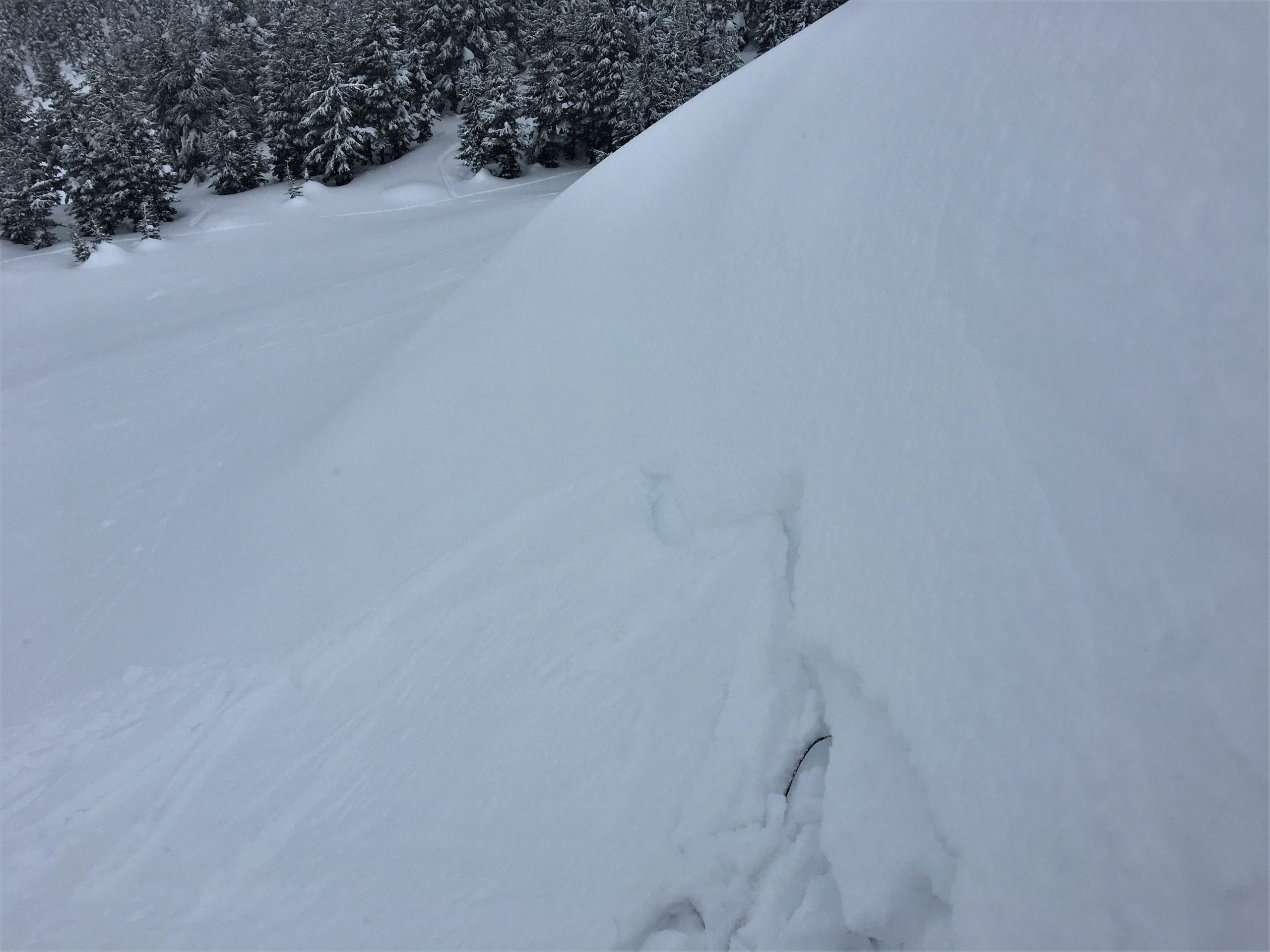
Two persistent weak layers in the upper snowpack on Tincan. 03.01.2021
Yesterday: Light snow showers through the day brought 2-4” snow under cloudy skies. High temperatures were in the mid to upper 20s F, with lows in the single digit to mid teens F, dipping just below 0 F at Summit Lake. Winds were light out of the east at 5-10 mph for most of the day, and shifted to the west yesterday evening.
Today: We should see quiet weather today, with partly cloudy skies and light westerly breezes around 5 mph. High temperatures are expected in the mid teens to upper 20s F, with lows in the single digits to mid teens F. We might see a few snowflakes during the day, but no accumulation is expected.
Tomorrow: Expect another day of quiet weather tomorrow, with mostly sunny skies and calm to light northwesterly winds around 5 mph. High temperatures should be in the mid teens to mid 20s F, with no precipitation expected. Our chances for snow are looking better towards the end of the week.
PRECIPITATION 24-hour data (6am – 6am)
Temp Avg (F) | Snow (in) | Water (in) | Snow Depth (in) | |
---|---|---|---|---|
Center Ridge (1880′) | 16 | 2 | 0.3 | 114 |
Summit Lake (1400′) | 14 | 3 | 0.2 | 47 |
Alyeska Mid (1700′) | 19 | 3 | 0.4 | 119 |
RIDGETOP 24-hour data (6am – 6am)
Temp Avg (F) | Wind Dir | Wind Avg (mph) | Wind Gust (mph) | |
---|---|---|---|---|
Sunburst (3812′) | 11 | E-W* | 8 | 30 |
Seattle Ridge (2400′) | 12 | SE-N* | 5 | 21 |
*Wind direction changed around 4 p.m. yesterday
Date | Region | Location | Observer |
---|---|---|---|
05/22/23 | Turnagain | Avalanche: Tincan | Nick D'Alessio |
05/12/23 | Turnagain | Avalanche: Tincan, Sunburst, Magnum, Cornbiscuit | Heather Thamm |
05/07/23 | Turnagain | Observation: Tincan – Bear Tracks | CNFAIC Staff |
05/05/23 | Turnagain | Observation: Seattle Ridge | AS/ WW Forecaster |
05/02/23 | Turnagain | Observation: Cornbiscuit | Schauer/ Sturgess Forecaster |
05/02/23 | Turnagain | Observation: Seward Hwy Turnagain Pass | Joel Curtis |
04/30/23 | Turnagain | Observation: Magnum | Ayla, Kit Crosby, Barton |
04/29/23 | Turnagain | Observation: Tincan | John Sykes |
04/28/23 | Turnagain | Avalanche: Taylor Pass/Pastoral | Schauer/ Creighton Forecaster |
04/28/23 | Turnagain | Avalanche: Tincan | Andy Moderow |
Status of riding areas across the Chugach NF is managed by the Glacier and Seward Ranger Districts, not avalanche center staff. Riding area information is posted as a public service to our users and updated based on snow depth and snow density to prevent resource damage at trailhead locations. Riding area questions contact: mailroom_r10_chugach@fs.fed.us
Area | Status | Weather & Riding Conditions |
---|---|---|
Glacier District |
Subscribe to Turnagain Pass
Avalanche Forecast by Email
This is a general backcountry avalanche advisory issued for Turnagain Arm with Turnagain Pass as the core advisory area. This advisory does not apply to highways, railroads or operating ski areas.