After the onslaught of northwest winds yesterday, winds have turned around and are blowing around 20 mph from the east this morning. These east winds are expected to quiet down by midday and though they may move a bit of snow around, any new wind slab is likely to be small and shallow. Snow surfaces around the region are quite variable; wind scoured, wind loaded, and even reports of slopes out of the wind harboring soft settled powder. That said, not only are the surface conditions variable, but the avalanche conditions as well. The avalanche danger will hinge on yesterday’s wind slabs, any possibility of new small wind slabs today, and lurking weak layers in the top 2′ of the snowpack.
If you are headed out, keep an eye out for any fresh shallow wind slabs that today’s winds might form. The wind is from a different direction than yesterday so soft snow may still be available to move around. Additionally, watch for harder wind slabs that were formed yesterday. These are worth avoiding as they may be sitting on weak snow, keeping them from bonding quickly. They also might simply just be stubborn and not quite healed yet. These slabs could be stiff enough to allow you onto them before realeasing. Any wind slab has the potential to step down to weaker layers buried in the top 2′ of the snowpack. More on that below.
Watching for the standard red flags will be key. Stiff snow over softer snow, cracks that shoot out in the snow around you, and whumpfing (collapsing) of the snowpack.
Loose snow avalanches (sluffs): If you are lucky enough to suss out a steep sustained slope with only loose surface snow, watch your sluff. These cold temperatures will continue to loosen surface snow and even eat away at the wind slabs out there.
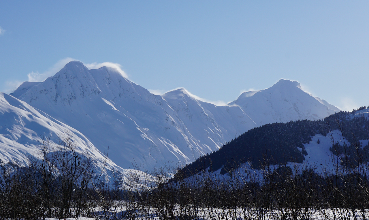 Northwest winds blowing snow off of Byron and Carpathian Peaks yesterday. 2.19.21.

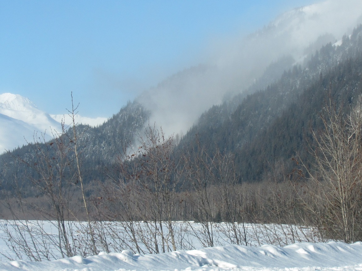 Natural avalanche and powder cloud behind the Lost Lake trail north of Seward. 2.19.21. Alex McLain.
 Avalanche with powder cloud makes its way down the slope. 2.19.21. Alex McLain
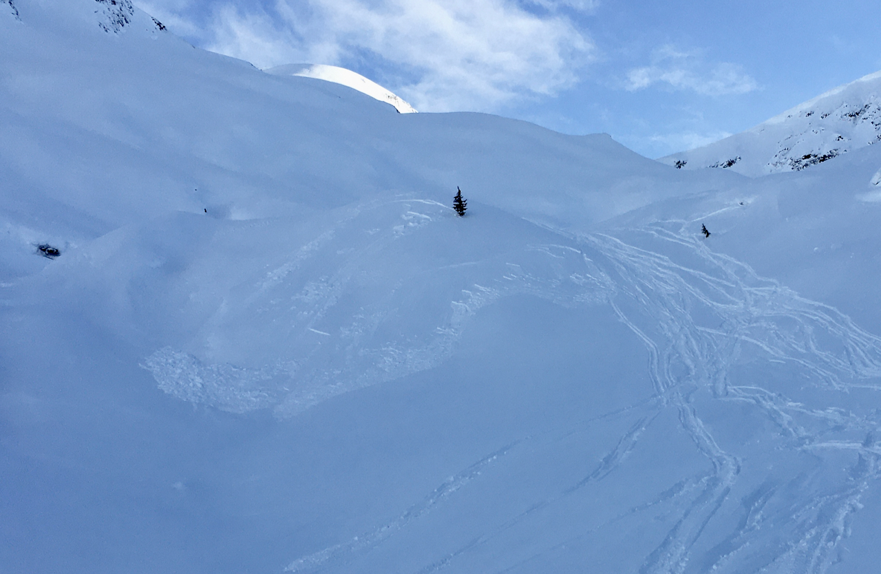 Small wind slab, easily triggered by riders ascending this small steep slope. 2.19.21.