Turnagain Pass Avalanche Forecast
|
![]() ![]() |
The avalanche danger is MODERATE at all elevations. It’s possible for a human to trigger a large slab avalanche 1-4′ below the snow surface. Although the likelihood of triggering these slab avalanches is slowly decreasing, the consequences could be deadly. Conservative terrain choices and decision making are necessary to limit the danger. Additionally, cornice breaks remain a concern, and if triggered, could initiate deeper layers.
Signal Word | Size (D scale) | Simple Descriptor |
Small | 1 | Unlikely to bury a person |
Large | 2 | Can bury a person |
Very Large | 3 | Can destroy a house |
Historic | 4 & 5 | Can destroy part or all of a village |
Today the weather forecast calls for sunny skies, temperatures in the teens and calm winds.
Right now, various weak layers ranging from 1-4′ deep in the snowpack are concerns at all elevations, and on all aspects. Earlier this week, additional stress from storm snow and wind loading events tipped the balance of our precarious snowpack. We had many reports of natural and human triggered avalanches throughout the advisory area and beyond. Some of these avalanches were large and ran far. The same weak layers still exist and are slow to adjust. Although the chances of triggering these weak layers is decreasing, the consequences remain significant if a person is caught and carried.
Observers continue to report red flag information such as whumpfing and shooting cracks. These are obvious signs of instability but may not exist as clues in all areas. Signs of instability may not occur before a slope releases. It’s possible for the current persistent slab problems to be remotely triggered from the sides, below, or above.
If you want to reduce exposure to this snowpack beast, choose to travel in lower angle terrain outside of runout zones. As always, use good travel protocol – travel one at a time in steeper terrain, and spot partners from areas with limited exposure.
This avalanche on Spirit Walker was not observed in action, but reported yesterday. 2.15.2020 . Photo: Ben Walker
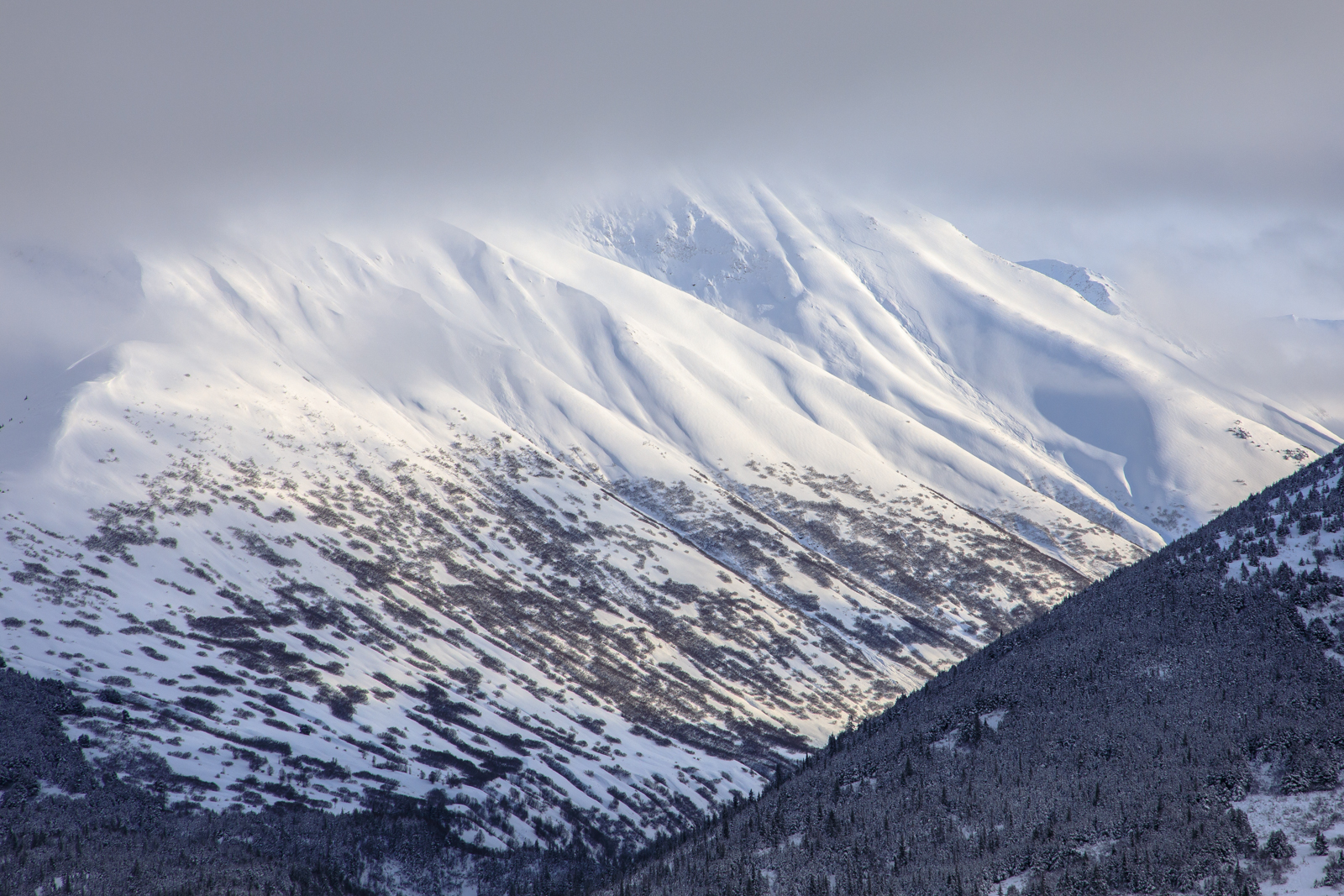
Cornices: As always, give cornices a wide margin and limit time moving through and under them.
Yesterday: Partly cloudy skies with some clear periods. Winds were calm to light and Temperatures stayed in the teens to 20°F.
Today: Today will be mostly sunny with temperatures ranging from the teens to twenties °F. Winds will be calm to light from the west and will shift to easterly tonight with moderate gusts. A chance of flurries this evening with 1″ of accumulation.
Tomorrow: A large low-pressure system is moving in Monday and Tuesday. As of now this next storm looks to be relatively warm, wet and windy. Models are showing up to 2-3″ of SWE (2-3′ snow) and a rain line that could approach 1,500′ by Tuesday evening.
PRECIPITATION 24-hour data (6am – 6am)
Temp Avg (F) | Snow (in) | Water (in) | Snow Depth (in) | |
---|---|---|---|---|
Center Ridge (1880′) | 10 | 0 | 0 | 62 |
Summit Lake (1400′) | 8 | 0 | 0 | 26 |
Alyeska Mid (1700′) | 10 | 0 | 0 | 60 |
RIDGETOP 24-hour data (6am – 6am)
Temp Avg (F) | Wind Dir | Wind Avg (mph) | Wind Gust (mph) | |
---|---|---|---|---|
Sunburst (3812′) | 11 | W | 6 | 18 |
Seattle Ridge (2400′) | 11 | N | 2 | 7 |
Date | Region | Location | Observer |
---|---|---|---|
05/22/23 | Turnagain | Avalanche: Tincan | Nick D'Alessio |
05/12/23 | Turnagain | Avalanche: Tincan, Sunburst, Magnum, Cornbiscuit | Heather Thamm |
05/07/23 | Turnagain | Observation: Tincan – Bear Tracks | CNFAIC Staff |
05/05/23 | Turnagain | Observation: Seattle Ridge | AS/ WW Forecaster |
05/02/23 | Turnagain | Observation: Cornbiscuit | Schauer/ Sturgess Forecaster |
05/02/23 | Turnagain | Observation: Seward Hwy Turnagain Pass | Joel Curtis |
04/30/23 | Turnagain | Observation: Magnum | Ayla, Kit Crosby, Barton |
04/29/23 | Turnagain | Observation: Tincan | John Sykes |
04/28/23 | Turnagain | Avalanche: Taylor Pass/Pastoral | Schauer/ Creighton Forecaster |
04/28/23 | Turnagain | Avalanche: Tincan | Andy Moderow |
Status of riding areas across the Chugach NF is managed by the Glacier and Seward Ranger Districts, not avalanche center staff. Riding area information is posted as a public service to our users and updated based on snow depth and snow density to prevent resource damage at trailhead locations. Riding area questions contact: mailroom_r10_chugach@fs.fed.us
Area | Status | Weather & Riding Conditions |
---|---|---|
Glacier District |
Subscribe to Turnagain Pass
Avalanche Forecast by Email
This is a general backcountry avalanche advisory issued for Turnagain Arm with Turnagain Pass as the core advisory area. This advisory does not apply to highways, railroads or operating ski areas.