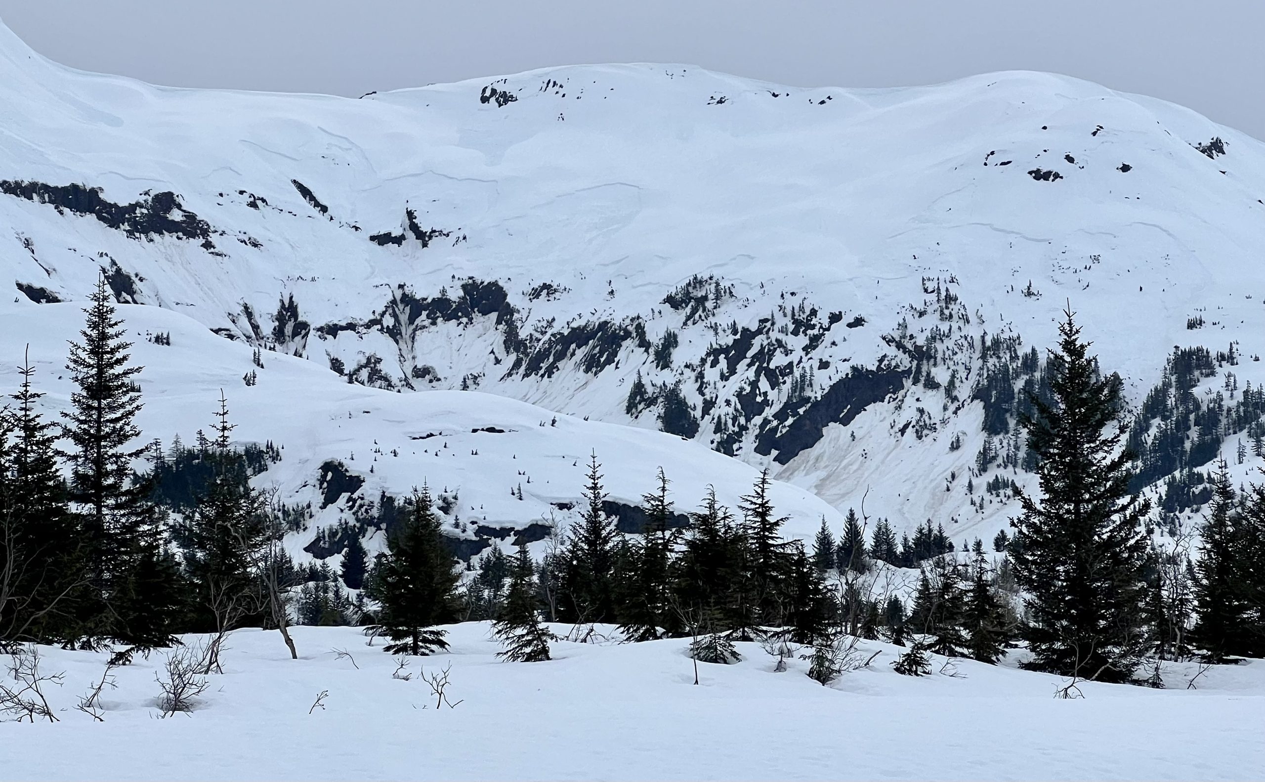
| Trigger | Natural | Remote Trigger | Unknown |
| Avalanche Type | Wet Slab | Aspect | South Southwest |
| Elevation | 1800ft | Slope Angle | unknown |
| Crown Depth | unknown | Width | 5000ft |
| Vertical Run | 1000ft |
Avalanche: Other Regions
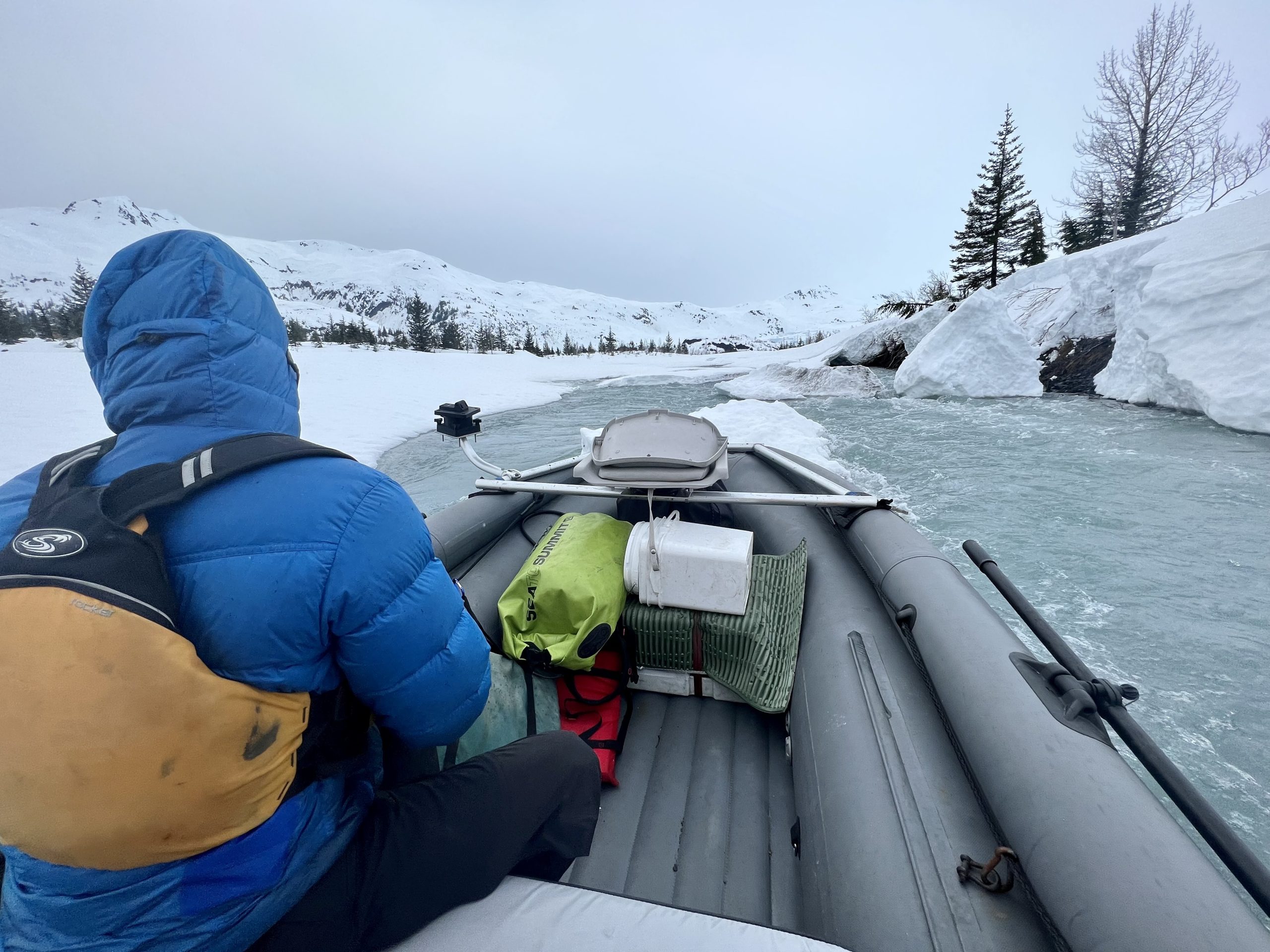
Location: Whittier/ Blackstone Bay
Salt water cruise from Whittier into Blackstone Bay.
Avalanche Details
Multiple Large wet slab in Blackstone Bay and Passage Canal (Poe Bay). All slabs were 1500-1800’ and looked like they ran on a similar mid-pack layer (pi interface, 3/14?). Impressive connectivity/ sympathetic releases spanning a mile plus wide and multiple aspects. Likely these avalanche ran yesterday (5/11) during or just after the storm.
Most avalanches looked to be triggered by wet loose/ cornice dribble and then subsequent slabs released sympathetically.
Obvious signs of instability
| Recent Avalanches? | Yes |
| Collapsing (Whumphing)? | No |
| Cracking (Shooting cracks)? | No |
Weather
Mid 40’s high clouds and light rain this afternoon. No wind.

Poe Bay, Passage canal.
Blackstone bay.

Above Passage canal.
IMG_3389