| Recent Avalanches? | No |
| Collapsing (Whumphing)? | Yes |
| Cracking (Shooting cracks)? | Yes |
Observation: Turnagain
Location: Tincan Trees
Tincan to 2400′. Second day touring to same elevation, same location. Objective today was similar to yesterday’s, we were investigating how well the new snow was bonding to the rain crust/faceted snow from Jan.26-28 storm last week and weekend break between storms. In contrast to conditions found yesterday the snow was much more reactive. Rain line was to 1500′. There was 60-80 cm (2′-3′) of total new snow sitting on the old snow interface. 8-10 inches was from yesterday. There was shearing in hand pits at this interface. This grew more and more touchy with elevation and wind loading. The combination of the rain crust with faceted snow and a substantial slab sitting on top are cause for concern. Compared to the last storm where the snow stabilized quickly this may take longer to heal.
Obvious signs of instability
Observer Comments
Rapid wind loading, tracks filling in between runs, surface snow stiffening, cracking
Temperature rising in the afternoon changing the slab character
We experienced a significant whumpf at 2400'. One member of the party was 30 ft away and the other member felt the collapse.
Weather
Obscured, snow fall 1"/hr. Rain line to 1500' fluctuating during the day
Temp @ 1000' low 30Fs. Temp @ 2400' in the mid 20Fs. Center ridge went to 32F for 2pm-4pm.
Winds ENE blowing in the 30s gusting 50-70 mph
Snow surface
1000'-1500' surface was rain saturated 1-3". decreasing with elevation gained over 5-8" inches of wet snow on a stout rain crust
1500'-2400' 2-3' of storm snow on 5-8" of old snow on rain crust
Ski pen was 40-60 cms, boot pen down to rain crust
Snowpack
Similar to yesterday @ 1000' heavy wet (rain saturated) snow was not bonding well with the crust below on steep test slopes, it was very 'pushable' on the rain crust.
1300' - 2000' - Multiple hand sheer tests with mostly easy shear results on the old snow (Jan 26-28th). The snow became more "slabby' on our second lap due to rising temperatures.
2000-2400' Wind effected 2-3' was very reactive failing on isolation in hand pits on the old snow interface. Whumpf and shooting cracks in this elevation band. Small steep test slopes were failing and running on the new snow/old snow interface as well.
Pit @ 2100 W aspect, 25 degree slope, see photo. HS= 300 cm, pit was 80 cms, storm total was 60 cms over 20 cms of mixed forms (decomposing precip particles with some faceting from the clear weather over the weekend).There was a micro melt freeze crust at this interface prior to the storm ECTP21 SC, CT16 SC. Shovel tilt was failing in the new snow 20 cms down with a few taps.

Pit @ 2100' Tincan

Hand pit that failed on isolation 2300'

Hand pit looking down to interface of new snow/old snow

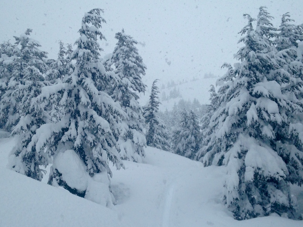
Very stormy conditions near treeline @ 2 pm
Heavy precip and deep skin track
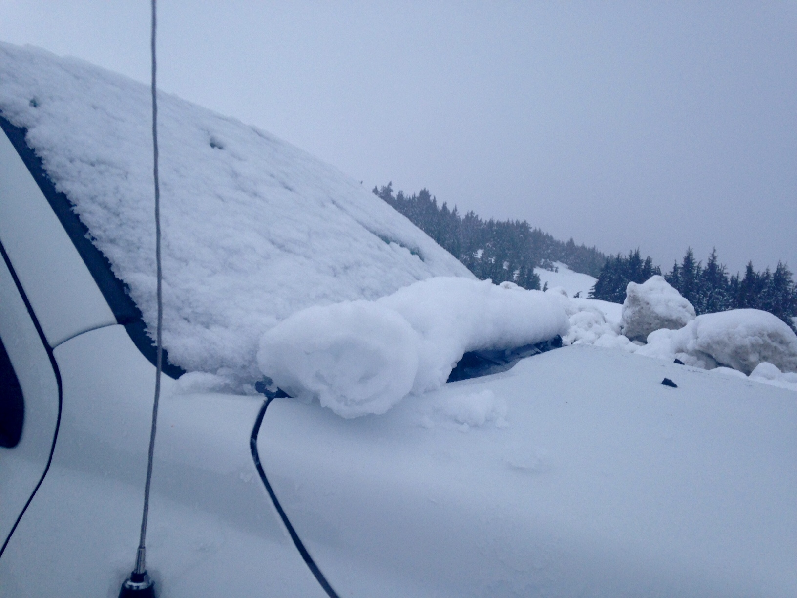
Gliding wet snow on the truck