| Recent Avalanches? | Yes |
| Collapsing (Whumphing)? | No |
| Cracking (Shooting cracks)? | Yes |
Observation: Turnagain
Location: Tincan Common
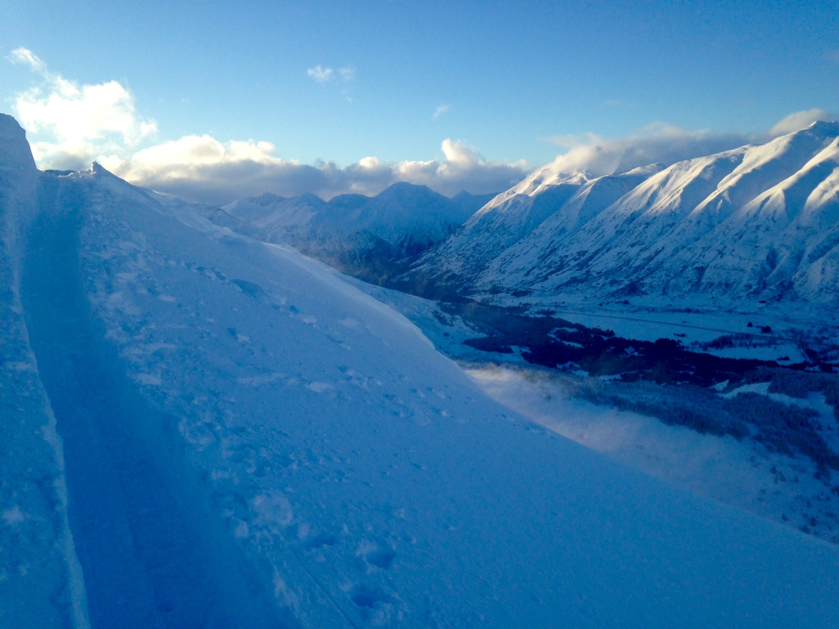
Standard Tincan up track to ridge line above Hippy Bowl, 3250′ Great visual overview of the avalanche cycle from the storm on Wednesday. Numerous D1s and D2s on Seattle Ridge, the north side of Sunburst including the Elevator Shaft, Eddies in the steep southerly terrain east past the headwall and the Tincan south face below Hippy Bowl. All the slides appeared to be wind or storm slabs. The crowns were 1-5 ft deep. Many of the crowns were lower in the path due to the intense winds loading farther down and/or cross loading. There was a crown in the lower portion of the Elevator Shaft that connected 3 small paths at alder line and may have been triggered by the rain on snow event Tuesday night/Wednesday morning. There are multiple glide cracks along Seattle Ridge extending from just north of the Uptrack past God’s Country. These are all at approximately the same elevation around 2200′.
Obvious signs of instability
Observer Comments
Small pockets of wind slab that were easy to trigger on convexities. Wind transporting snow throughout the day.
Weather
Scattered clouds
No precipitation
Easterly Winds 10-15 mph, gusting in the 20s
Temperatures: 30s at the truck 20s at ridge line
Snow surface
1000'-1800' 4" of new snow on a mini melt-freeze crust over moist snow
1800'-2200' 4-6" of new snow over damp snow (Tuesday/Wednesday storm)
2200'-3200' wind effected snow: wind crust, winds slab, wind buff powder
Snowpack
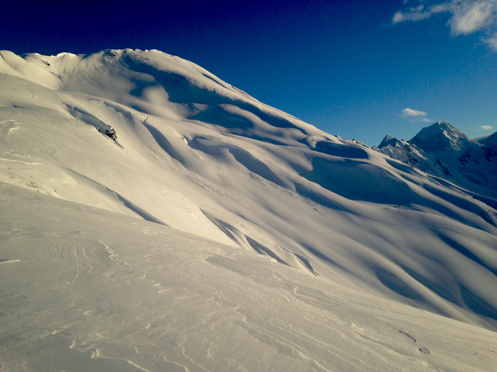
Dug in @ 3200 in Hippy Bowl. HS= 135 Completely right side up snowpack with the exception of 5-10 cm of chained facets at the base. No results in any stability tests. Probing around in the Treeline elevation band determined that the Thanksgiving Rain Crust is 135 cm below the surface with average HS of 150 cms. Wind effect was the most notable snowpack observation including ripples, sculpted features, cross loading, cornices from cross loading, cornices from top loading, wind slabs and stiff snow over softer snow. Above Treeline in areas where the snow had been blown around hand pits showed easy shears.

Snow surface

Wind ripples in Common Bowl
East winds moving snow
Wind effect in Hippy Bowl

Wind pillow cracking

Avalanche activity from the storm on Seattle Ridge and rain runnels

D1 recent wind slab in Lower Todds