| Recent Avalanches? | No |
| Collapsing (Whumphing)? | No |
| Cracking (Shooting cracks)? | Yes |
Observation: Turnagain
Location: Tincan Alpine
10:00-5:00
We took the standard approach towards the alpine to assess wind effect and recent snowfall, and conducted instability tests in two locations with results showing good stability overall.
Though the alpine was obscured for most of the day, treeline skiing was primo with 2-4″ of recent accumulation with light snow falling midday on.
Obvious signs of instability
Observer Comments
Localized cracking within alpine (2,500’+) on convexities with test slopes showing the fresh 6-10” releasing over wind slabs.
No collapsing
No observed releases
Weather
Overcast trending to obscured 2,500’+ from 10:00-17:00
Valley fog present from 1,200’ to 2,000’ in AM.
S-1 at 10:00 at 1,000’
S2 at 13:00 at 3,000’+
Calm trending to light NW winds at 2,800’+.
18°F to 21°F in alpine
Active riming starting at 14:00 on all surface grains and clothing/equip.
Snow surface
2-4" of fresh, light accumulation from 1,000’ to 3,000’+
over variable and irregular wind stiffened surfaces.
Rime was present on surface grains.
Ski/Boot Penetration: 7”/18”
Snowpack
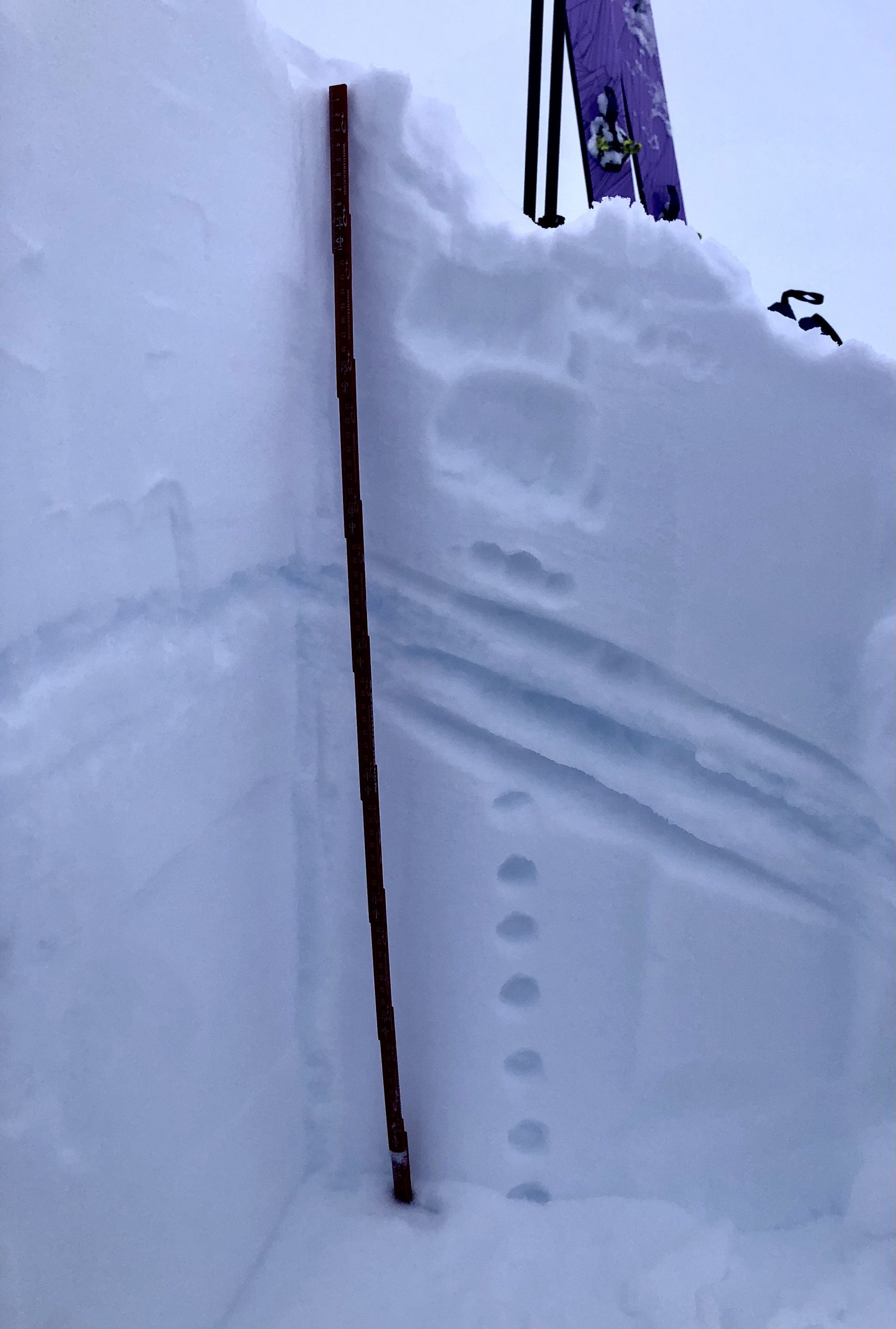
In general, my focus was to assess the depth and reactivity of the basal facets and wind slabs in treeline and the alpine. Tests at both locations showed moderate strength and no propagation propensity with great stability overall.
We received multiples of CTN, ECTX and no alarming PST results with the basal facets showing a strong, cohesive bond to the ground layer and the entire snowpack in our alpine test site acting act as one large slab, with no distinct weak layer.
Though our test site was in a shallow, wind effected area,
HS 97cm, slopes only 10’ away presented varying depths of up to HS 250cm.
The 12.1 melt-freeze crust is present up to 2,600’, 10”-20”below surface and the 12.7 rain crust is barely noticeable and present to 1,400’, 2-4” below surface.
Near surface facets and buried surface hoar were not observed in treeline.

Alpine Profile
Treeline Profile

Basal Facets at 3,100'
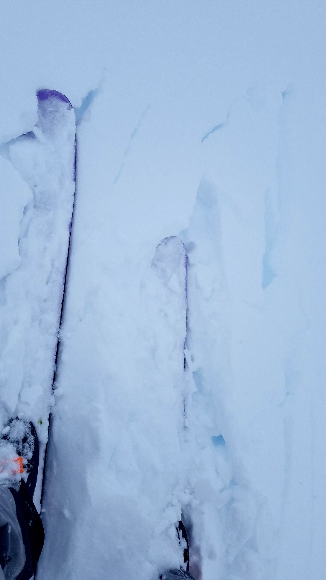
Test slope at 3,000' producing localized cracks and a release (Photo by Kakiko)