| Trigger | Natural | Remote Trigger | Unknown |
| Avalanche Type | Unknown | Aspect | Southwest |
| Elevation | unknown | Slope Angle | unknown |
| Crown Depth | unknown | Width | unknown |
| Vertical Run | unknown |
Avalanche: Turnagain
Location: Tincan
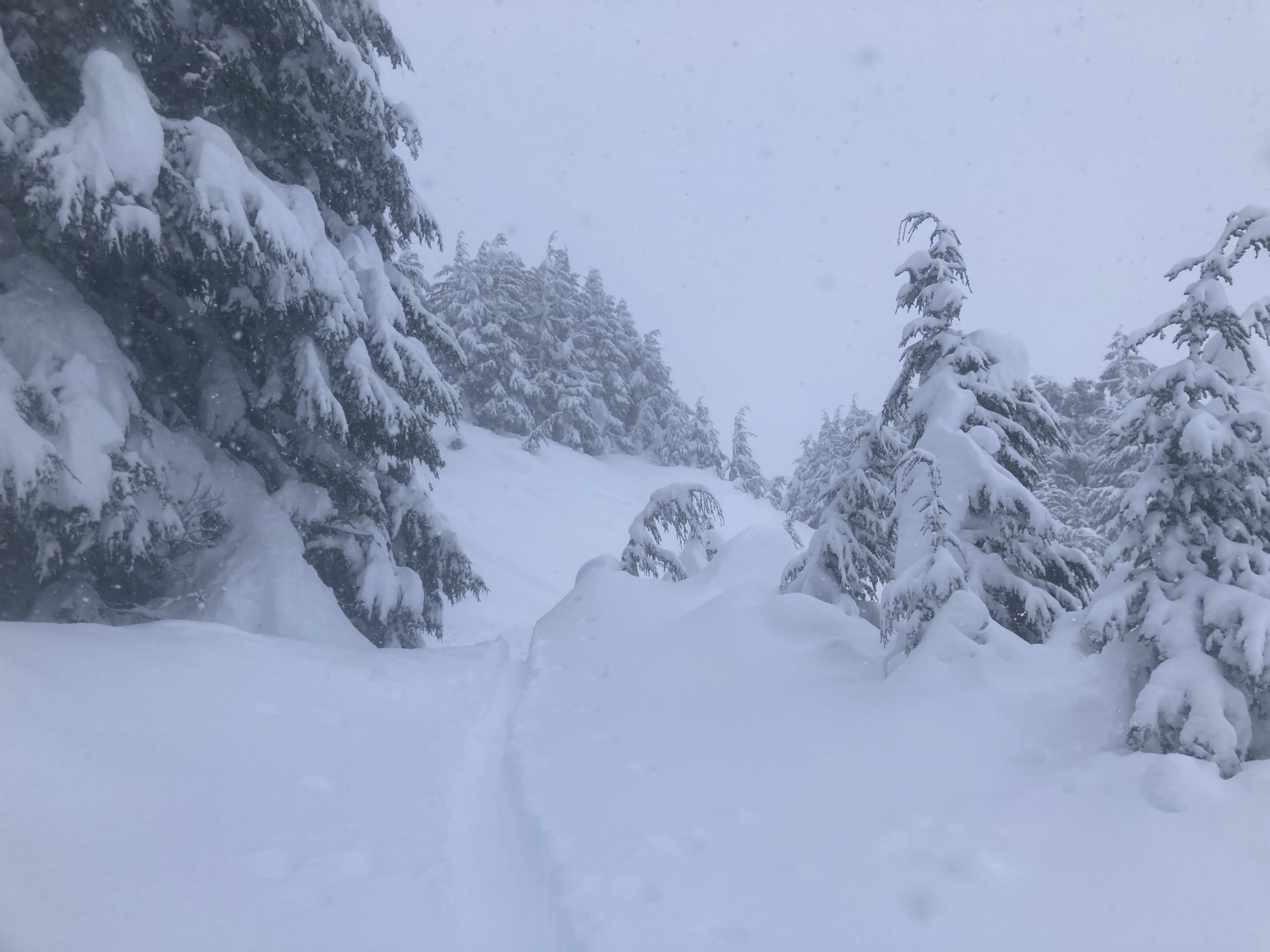
Storm days call for pow laps in the trees, and they did not disappoint. We traveled up to 2300′ just to tree line at Tincan. We wanted to check on that interface between the new snow and the crust/facet combo buried by the storm cycle that started on Wednesday and see if that snow was beginning to bond.
As we traveled we were looking for other signs of instability and avalanching between the storm snow interfaces. A crust layer up to about 1400′ made us nervous at the start of the day but once it disappeared we were able to wallow through some pretty soft snow and make small turns if we could gain enough momentum. If you are someone who believes there is no such thing at too much snow, this storm may prove you wrong.
Avalanche Details
We saw a number of avalanches that had all run at different points during this storm cycle. Most notably, some fellow BC skiers pointed out a large natural avalanche below CFR, possibly triggered by a cornice fall. The extent and size of the avalanche was hard to perceive due to low visibility. But by walking around on the debris pile we could verify that the avalanche could have buried, injured, or killed a person and probably occurred before the snow started this morning. Another noteworthy avalanche (D1) looked to be the result of a ski cut by another skier. The avalanche was 12-18" deep on average, extending 40' and running out 100'.
Obvious signs of instability
| Recent Avalanches? | Yes |
| Collapsing (Whumphing)? | No |
| Cracking (Shooting cracks)? | No |
Weather
Periods of heavy snowfall continued throughout the day and brought with it another 4" of snow. Moderate winds gusted from the N-NE throughout the day with temps staying around 25˚F at 2300'. Clouds were clearing as we got back to the parking lot around 3:30 pm.
Snow surface
3-4" of new low density snow starting this morning to 3pm. Just below the surface the wet snow and rain that fell yesterday froze into a breakable crust. Thankfully it gradually disappeared and was gone around 1400'.
Snowpack
The new snow fell on about 3' of storm snow that has fallen throughout the week. This impressive storm cycle sits on top of faceted snow on northerly aspects and crusts on southerly aspects. We dug two pits, one on each of these aspects and we did not see any concerning results at the new snow/old snow interface. With so much new snow and fresh avalanches, we're still not ready to trust that interface just yet.
The storm snow layers in the upper 3' of the snowpack were not propagating in stability tests, but broke on a couple of mid storm interfaces.
Due to the low visibility it was challenging to observe other signs of avalanche activity in the Tincan area. Although, at the end of the day we were able to spot a handful of loose snow and soft slab avalanches on the front side of Seattle Ridge that were D1-D2+ in size.
Another storm day in the Tincan Trees! 03.19.2023

Soft slab avalanche, looked to be triggered by a ski cut shortly before we were there. 03.19.2023

We were finding on average 3' of settled snow that has fallen since Friday. 03.19.2023