| Recent Avalanches? | Yes |
| Collapsing (Whumphing)? | Yes |
| Cracking (Shooting cracks)? | No |
Observation: Turnagain
Location: Tincan
Standard route to 2500′
Obvious signs of instability
Observer Comments
Whumpfing from 2200' to 2500'. Only localized cracking.
Weather
Mostly clear
Temps in the high 20s, 34F at the parking lot mid-morning
Winds westerly 5-10 mph with a few stronger gusts. Some blowing snow visible on Seattle Ridge.
Snow surface
14" soft new snow until around 1800' where wind effect started with a variable thin wind crust and progressed to breakable wind crust to more stiff and slabby by 2500'.
Snowpack
Up until 1500' snowpack consisted of new snow only. Around 1500' a thin melt freeze crust could be felt 5-10 cm above the ground with small facets below.
Snowpack depths were quite variable due to wind effect. Ranging from a couple inches to 2'.
Pit at 2000' (see annotated photo). Thin melt-freeze crust just over the facets above the ground. ECTP 13 in the facets.
Pit at 2500' (see photo). The melt-freeze crust was 2" thick over the facets with a thin layer of facets on top. ECT produced no results.
New snow seems to be bonded to old snow surfaces. The concern is facets at the bottom of the snowpack and potentially the facets over the crust as well if they are reactive with more load.

Wind on the southern end of Seattle Ridge
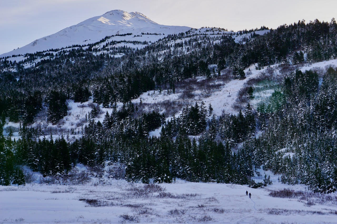
Tincan from parking lot

Seattle Ridge towards uptrack from Tincan
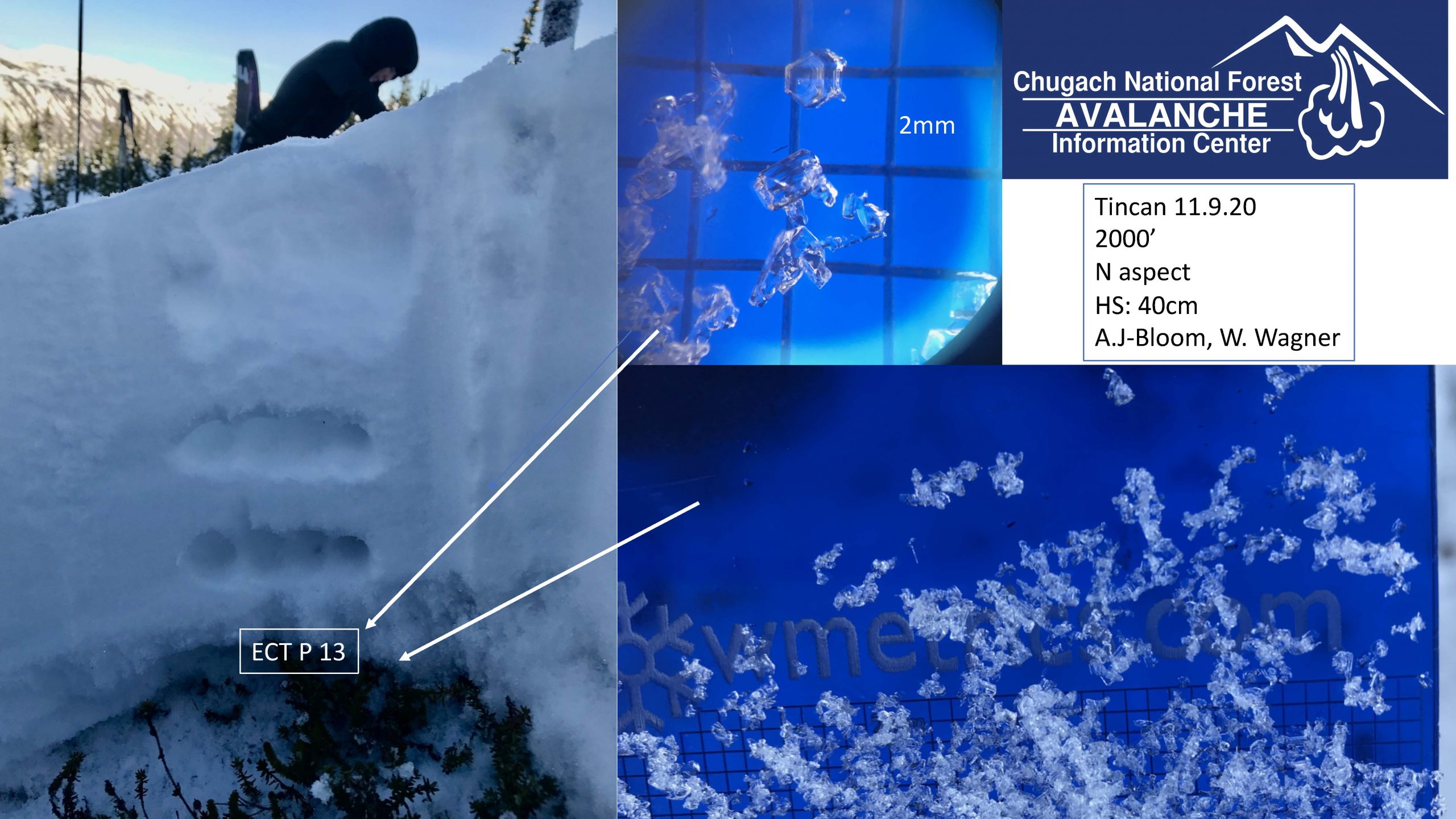
Tincan pit @ 2000'
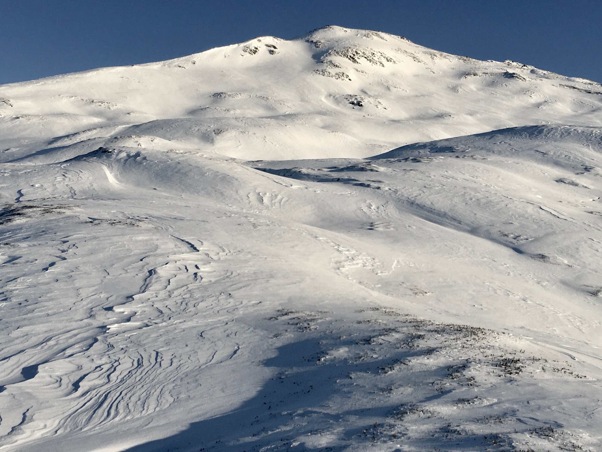
Wind effect looking up towards Common Bowl

Pit wall 2500'