Strong wind and blowing snow. Very little visibility to get an idea of what was occurring above treeline.
Several small to medium cornice falls along the lower CFR ridgeline.
Observation: Turnagain
Location: Tincan
Storm day tour up to just above treeline along the common Tincan up route. High point 2,600′.
Observer Comments
Weather
Obscured skies, strong wind near and above treeline from erratic directions (N, E and at one point S). Light snowfall began around noon. Light graupel in the parking lot with warming temperatures at 3pm. Rain line was around 7-800' driving back.
Snow surface
12" of new snow at Tincan.
Drove to the south end of the Pass and found only 3-4" of new wet snow at the Sunburst parking lot and about 2" at the Cornbiscuit lot.
There is a drastic spatial gradient with snowfall amounts, yesterday's storm definitely favored the north side of the Pass.
Snowpack
Several quick snowpack tests to assess the new/old snow interface.
Wendy's Pit:
2,600 elevation, W aspect, 20 degree slope
ECTP 11, 13 down 12", breaking in small facets just below the new snow (old/new interface).
Heather's Pit:
~2600' elevation, HS=280cm, WSW aspect, 28* slope
CT11x2 failed 35cm below surface on new/old snow interface (facets)
ECTN19, but with 2 additional taps propagated along same layer (new/old)
V-day layer was 50cm below surface - no results
MLK BSH was 90cm below surface - no results
These results show that at this location there is potential to trigger a slab but the new snow is beginning to bond to the old surface. We found that below 2,500' the snow was warm enough that it was bonding and triggering a slab in the mid elevations was difficult. What is happening in the alpine where the snow is colder and winds stronger is unknown, but it is suspect that avalanches are occurring.
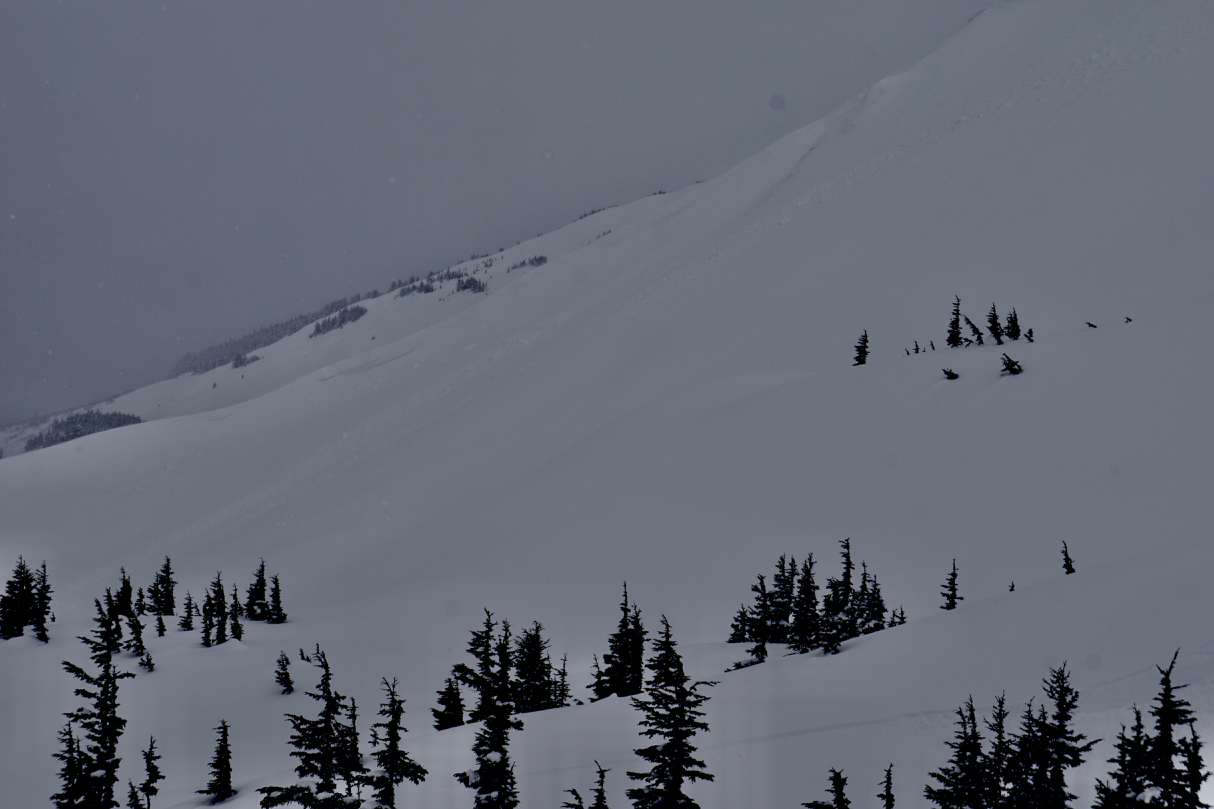
Cornices falling off a very windy section of the lower CFR ridge on Tincan.

Pit #1, 2,600', W aspect, 20 degree slope

Pit #2, 2,600', WSW aspect, 28 degree slope