Weather
Snow, heavy at times, 4-5” accumulation between 1 and 6pm (see photo)
Winds moderate out of the East
Temps mild, in the high 20s to low 30s
Rain Snow line @ 500’ at 6pm
Obvious Signs Of Instability
Recent Avalanches-none observed
Shooting Cracks-no
Collapsing/whoompfing-yes, several between 1,500’-2,500’, avg. 10 m radius
Surface Obs
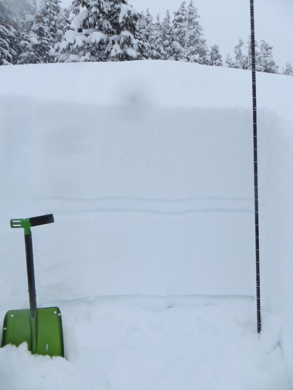
Powder, lots of it. Surface was damp from 1,000-1,500’. Mostly right side up
snow. Average height of new snow (since March 10th) is 90cm/35”.
Snow below the surface
A thin crust exists between the March 10th storm snow and the March 12/13th
snow. This was formed by rain at the tail end of the Mar 10th storm. The crust
is 3cm/1” thick and “mushy” (4F). This crust disappears above 1,500’ in
elevation. (see photo)
Pit results (3 locations between 1,200 and 2,500′) showed moderate strength at the Feb crust/March storm snow interface.
1 pit at 2,300’ on 30 deg SW slope had ECTP 11, 20 SC on surface hoar/facets on
the crust (90cm down)
We will continue tracking the late Feb crust/March storm interface. As it
becomes more deeply buried the likelihood of triggering will go down but the
consequences will be big (deep slabs >3’ thick).