Our party did not observe any red flags, but several parties we spoke to described experiencing whumpfing and cracking / collapsing.
Observation: Turnagain
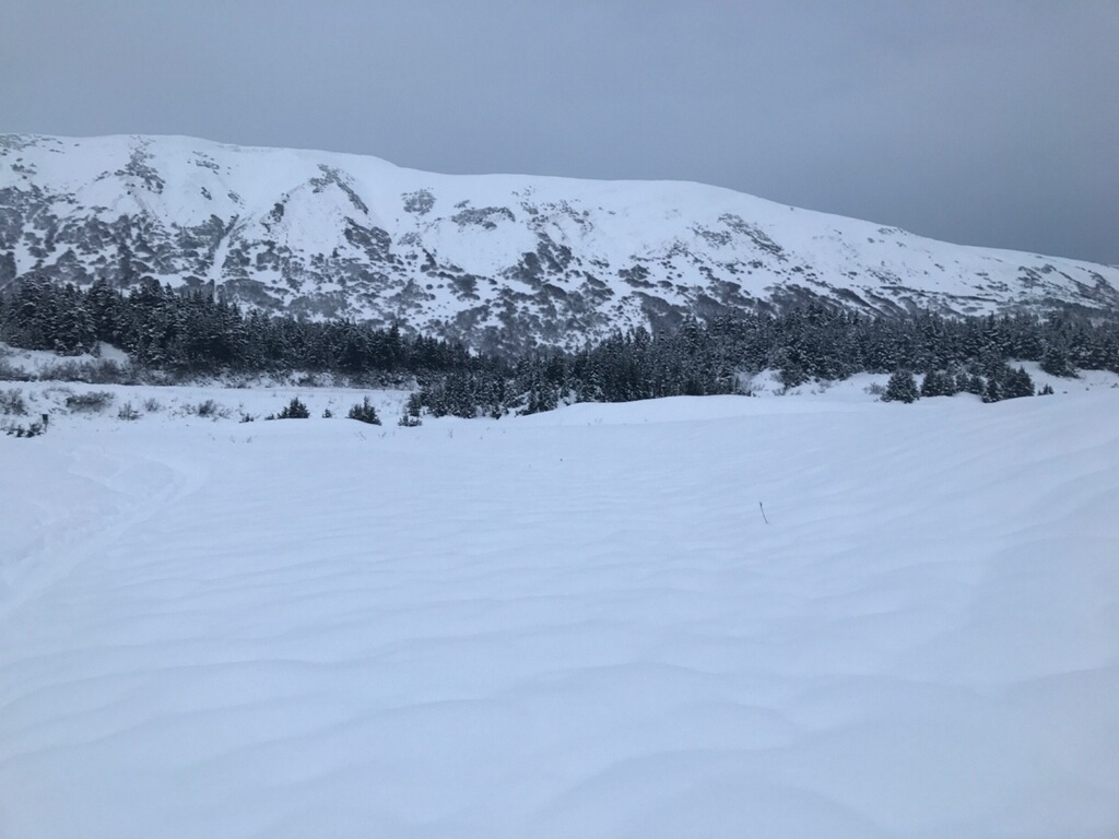
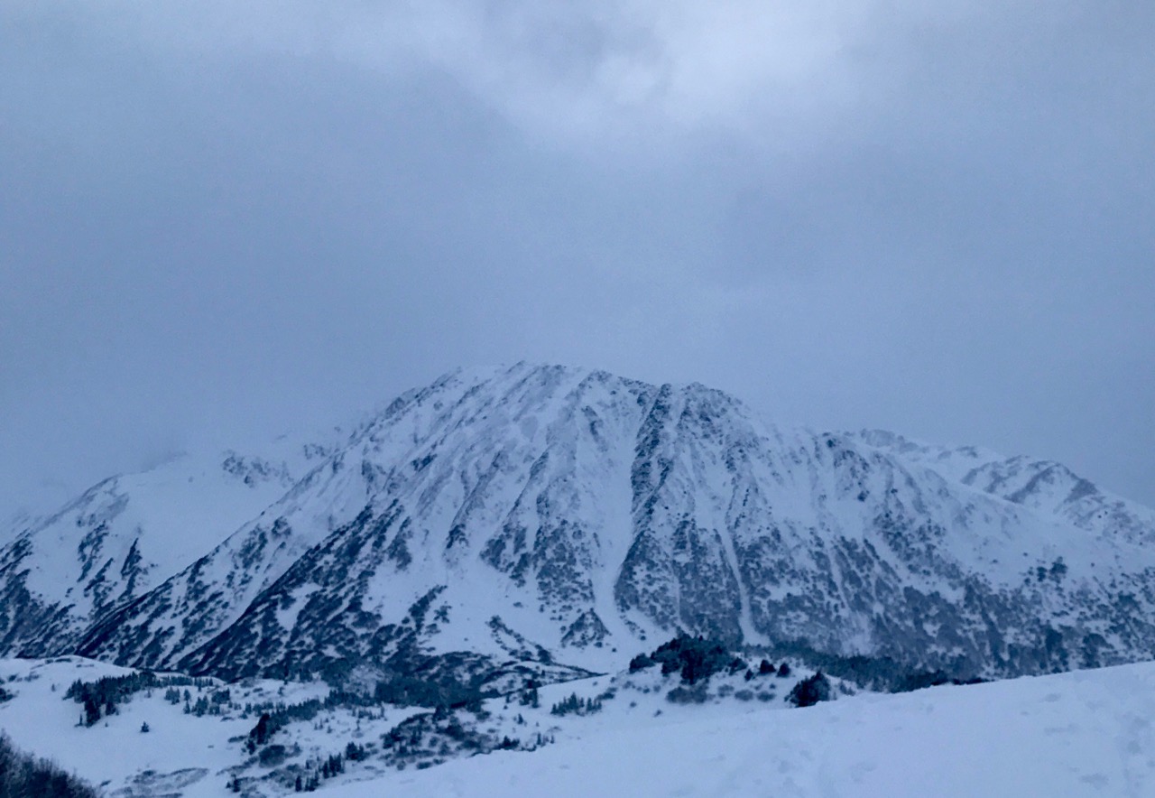
Location: Tincan
Standard uptrack with some “whumpf hunting” and a deviation to the South to get off of the main route around 1700′ and then up to to 2250′ elevation (treeline).
Observer Comments
Weather
Snowing S1 at the road at ~1100 hrs. Rain / snow line was at about 700 ft elevation. Wind was calm at ~1100 hrs, with obscured skies.
Throughout our tour the snow slowly tapered to an intermittent S-1, with clouds lifting somewhat, alternating between overcast and occasionally broken skies.
By 1400 hrs, wind had increased to light from the North, and temps dropped noticeably.
Snow surface
10-20 cm moist snow sitting on a 1-2" "drizzle crust". Crust disappears at about ~1900 ft elevation, indicating the highest extent of rain in the last storm. Runnels could be seen on the skin track out of the parking lot. Surface snow became lighter and dryer as we ascended. Halfway to treeline the snow was boot top light density powder.
Snowpack
~70 cm of moist snow has accumulated since 12/1. The new snow has accumulated "right side up". As stated previously the new snow became lighter and dryer as we ascended, with light density, dry snow to be found halfway to treeline and up to treeline (we did not travel into the alpine). Buried surface hoar was found in one pit at ~2250 ft elevation, but did not react in stability tests.
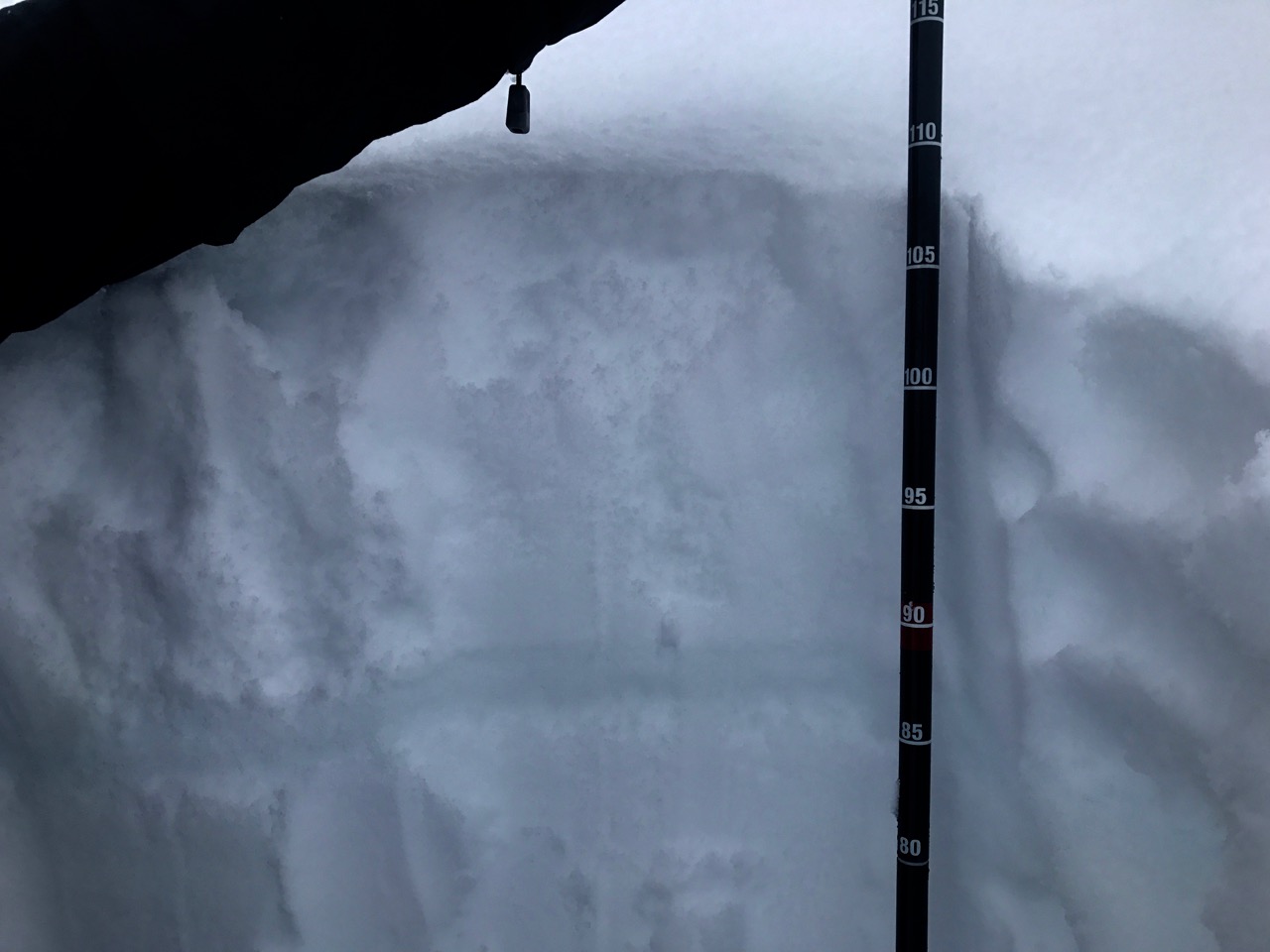
Pit 1: Tincan Trees, ~1700 ft elevation, SW aspect, 33* slope. HS=100 cm. CTV, ECTP22 down 95 cm at the interface between a basal crust and basal facets. Basal facets appeared to be rounding.
Pit 2: Tincan treeline looking into Snakepit, ~2250 ft elevation, SE aspect, 18* slope. HS=105 cm. CT20 SP Q1, ECTP30 down 73 cm in rounding facets over a knife hard basal melt freeze crust. Hardness pit profile below:
105
F
85
1F
69
P
32
4F
21
K
12
1F
0
Runnels on the flats from the skin track near the Tincan parking lot.
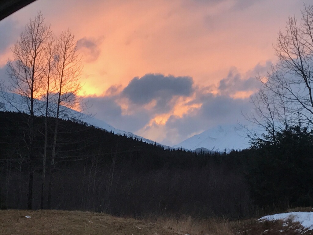
Sky on fire
Cross-loaded sunburst. jpg

Pit #2

Pit #1
rain crust 1700''

rain crust 1000'

Buried surface hoar

Wind loaded CFR